
Historic bridges · South East England
Waterperry House, Bow Bridge Approximately 750 Metres To South (That Part In The Parish Of Waterperry)
In or near Great Haseley.
Waterperry House, Bow Bridge Approximately 750 Metres To South (That Part In The Parish Of Waterperry) — Grade II listed building-listed bridge in england-west-midlands, United Kingdom.

David Hawgood — CC BY-SA 2.0 via Wikimedia Commons licence

Plan your visit
- Typical visit
- 15 min–30 min
- Free entry
- Dog-friendly
About
Waterperry House, Bow Bridge Approximately 750 Metres To South (That Part In The Parish Of Waterperry) is a Grade II listed building-listed bridge in england-west-midlands, United Kingdom, registered on the National Heritage List for England (NHLE entry 1369257). Listed status protects buildings and structures of special architectural or historic interest. See the linked Wikipedia article for further details.
Photo gallery
Heritage listing
Details WATERPERRY SP60NW 6/209 Waterperry House, Bow Bridge 18/07/63 approx. 750m. to S (that part in the parish of Waterperry) (Formerly listed as Bow Bridge) GV II Description includes that part in parish of Waterstock. Bridge. Early/mid C18. Brick with stone copings and keyblocks. Solid parapet rises over single segmental arch and curves outwards to square brick piers; plain band breaks over upper part of arch linking with key blocks. Listing NGR: SP6324105574 Legacy The contents of this record have been generated from a legacy data system. Legacy System number: 246729 Legacy System: LBS
From the Historic England List Entry under OGL v3.
Protected designations
- Area of Outstanding Natural Beauty: Chilterns
Designations sourced from Natural England open data under OGL v3.
Place summary
Waterperry House is a Grade II listed bridge located approximately 750 metres to the south of Bow Bridge in the parish of Waterstock, Oxfordshire, within the West Midlands. Its designation reflects its architectural and historical significance.
AI-generated from the structured facts on this page (operator, designation, listing, era). Not a substitute for visiting.
- Coordinates
- 51.7453, -1.0854
- County
- Oxfordshire
- District
- South Oxfordshire
- Parish
- Waterstock
- Postcode
- OX33 1JX
- Parliamentary constituency
- Henley and Thame
Sources
- wikidata: Q26650620 (CC0)
Other places nearby

Waterstock Mill Bridge
Historic bridges · 0.1 km

Oxfordshire Way Picnic Site
Natural landmarks · 0.7 km

Waterperry Gardens
Gardens · 0.8 km

Museum of Rural Life
Museums · 0.9 km

Waterperry
Museums · 1.2 km

The Fox Inn
Historic pubs · 1.7 km

Ickford Bridge
Historic bridges · 1.9 km

Bridge Approximately 90 Metres East Of Wheatley Bridge
Historic bridges · 2.0 km
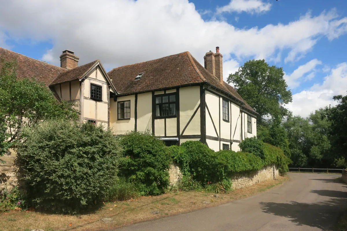
New Manor House The Manor
Stately homes · 2.6 km

DoubleTree by Hilton Oxford Belfry
Hotels · 2.7 km

Great Milton
Villages · 2.8 km

Church of St Bartholomew, Holton
Historic churches · 2.8 km
Nearby
📷 3Historic bridges · South East England
Waterstock Mill Bridge
Waterstock Mill Bridge — Grade II listed building-listed bridge in england-west-midlands, United Kingdom.
📷 3Natural landmarks · South East England
Oxfordshire Way Picnic Site
Oxfordshire Way Picnic Site — a other in england-west-midlands, United Kingdom.
📷 3Gardens · South East England
Waterperry Gardens
Waterperry Gardens — garden in United Kingdom.
📷 3Museums · South East England
Museum of Rural Life
Museum of Rural Life — a museum in england-west-midlands, United Kingdom.
📷 5Museums · South East England
Waterperry
Waterperry — a museum in england-west-midlands, United Kingdom.
📷 7Where to eat & stay near Waterperry House, Bow Bridge Approximately 750 Metres To South (That Part In The Parish Of Waterperry)
Places to stay
📷 5Hotels · South East England
DoubleTree by Hilton Oxford Belfry
DoubleTree by Hilton Oxford Belfry — a hotel in england west midlands. 4-star. Brand: DoubleTree.
 📷 5
📷 5Hotels · South East England
Le Manoir aux Quat'Saisons
Le Manoir aux Quat'Saisons — a hotel in england west midlands.
 📷 5
📷 5B&Bs · South East England
Common Leys Farm
Common Leys Farm — a bed-and-breakfast in england west midlands.
 📷 5
📷 5Campsites · South East England
Common Leys Farm
Common Leys Farm — a campsite in england west midlands.
 📷 5
📷 5Hotels · South East England
Oxfordshire Golf Club
Oxfordshire Golf Club — a hotel in england west midlands.
 📷 5
📷 5Campsites · South East England
Green Acres Farm Camp Site
Green Acres Farm Camp Site — a campsite in england west midlands.
Places to eat & drink
📷 7 📷 5
📷 5Historic pubs · South East England
The Star Inn Public House
The Star Inn Public House in England South East, United Kingdom.
 📷 5
📷 5Restaurants · South East England
The Swan
The Swan — a restaurant in england west midlands.
 📷 7
📷 7Restaurants · South East England
The Angel Restaurant
The Angel Restaurant — a restaurant in england west midlands.
 📷 5
📷 5Historic pubs · South East England
Churchill Arms Public House
Churchill Arms Public House in England South East, United Kingdom.
 📷 7
📷 7Historic pubs · South East England
The Six Bells Public House
The Six Bells Public House in England South East, United Kingdom.
More bridges in this region
 📷 5
📷 5Historic bridges · South East England
Briary Hill Bridge east
Briary Hill Bridge east is a historic bridge in the United Kingdom.
 📷 5
📷 5Historic bridges · South East England
Briary Hill Bridge west
Briary Hill Bridge west is a historic bridge in the United Kingdom.
 📷 5
📷 5Historic bridges · South East England
Bridge 157 VIR (Bath Hard Road)
Bridge 157 VIR (Bath Hard Road) is a historic bridge in the United Kingdom.
 📷 5
📷 5Historic bridges · South East England
Dorking Arch Bridge
Dorking Arch Bridge is a historic bridge in the United Kingdom.
Frequently asked questions
- Where is Waterperry House, Bow Bridge Approximately 750 Metres To South (That Part In The Parish Of Waterperry)?
- Waterperry House, Bow Bridge Approximately 750 Metres To South (That Part In The Parish Of Waterperry) is in Oxfordshire, the West Midlands, United Kingdom (postcode OX33 1JX), in the parish of Waterstock.
- What is Waterperry House, Bow Bridge Approximately 750 Metres To South (That Part In The Parish Of Waterperry)?
- Waterperry House, Bow Bridge Approximately 750 Metres To South (That Part In The Parish Of Waterperry) — Grade II listed building-listed bridge in england-west-midlands, United Kingdom.
- How do I get to Waterperry House, Bow Bridge Approximately 750 Metres To South (That Part In The Parish Of Waterperry)?
- Drivers can use postcode OX33 1JX.
- Is Waterperry House, Bow Bridge Approximately 750 Metres To South (That Part In The Parish Of Waterperry) a listed building?
- Waterperry House, Bow Bridge Approximately 750 Metres To South (That Part In The Parish Of Waterperry) is officially recognised as Grade II listed building listed.
- Is Waterperry House, Bow Bridge Approximately 750 Metres To South (That Part In The Parish Of Waterperry) a protected site?
- Yes — Waterperry House, Bow Bridge Approximately 750 Metres To South (That Part In The Parish Of Waterperry) is part of the Chilterns National Landscape (AONB).
- Is Waterperry House, Bow Bridge Approximately 750 Metres To South (That Part In The Parish Of Waterperry) free to visit?
- Yes, Waterperry House, Bow Bridge Approximately 750 Metres To South (That Part In The Parish Of Waterperry) is free to enter.
- How do I get to Waterperry House, Bow Bridge Approximately 750 Metres To South (That Part In The Parish Of Waterperry)?
- Drivers can navigate to postcode OX33 1JX. It sits within the Henley and Thame parliamentary constituency.