
Natural landmarks · South East England
Oxfordshire Way Picnic Site
In or near Great Haseley.
Oxfordshire Way Picnic Site — a other in england-west-midlands, United Kingdom.

Ian Petticrew — CC BY-SA 2.0 via Wikimedia Commons licence

Plan your visit
- Typical visit
- 1 h–2 h
- Paid entry
- Dog-friendly
- Limited wheelchair access
About
Oxfordshire Way Picnic Site is a other located in england-west-midlands, United Kingdom. Sourced from OpenStreetMap (ODbL licence); see local listings for visitor information, opening hours and admission details.
Photo gallery
Official information
Waterperry Gardens is a beautifully landscaped area featuring 20 acres of ornamental gardens, a plant centre, gallery, and museum. Visitors can explore the gardens, enjoy the scenery, and access various facilities including a gift shop and tea shop.
Protected designations
- Area of Outstanding Natural Beauty: Chilterns
Designations sourced from Natural England open data under OGL v3.
Place summary
Oxfordshire Way Picnic Site is located in the West Midlands. This site serves as a recreational area for picnicking and enjoying the surrounding landscape. It is part of the longer Oxfordshire Way walking route, which offers scenic views and access to the countryside.
AI-generated from the structured facts on this page (operator, designation, listing, era). Not a substitute for visiting.
- Coordinates
- 51.7505, -1.0909
- County
- Oxfordshire
- District
- South Oxfordshire
- Parish
- Waterperry with Thomley
- Postcode
- OX33 1JY
- Parliamentary constituency
- Henley and Thame
- Phone
- 01844 339254
- Opening
- Daily 10am–5.30pm (April–October); 10am–5pm (November–March); closed between Christmas and New Year.
- Official site
- www.waterperrygardens.co.uk
Sources
- osm: node/1269083988 (ODbL)
Other places nearby

Museum of Rural Life
Museums · 0.2 km

Waterperry Gardens
Gardens · 0.3 km

Waterperry
Museums · 0.5 km

Waterperry House, Bow Bridge Approximately 750 Metres To South (That Part In The Parish Of Waterperry)
Historic bridges · 0.7 km

Waterstock Mill Bridge
Historic bridges · 0.8 km

Bridge Approximately 90 Metres East Of Wheatley Bridge
Historic bridges · 1.8 km

Ickford Bridge
Historic bridges · 2.0 km

The Fox Inn
Historic pubs · 2.3 km

Church of St Bartholomew, Holton
Historic churches · 2.3 km

Worminghall
Villages · 2.5 km
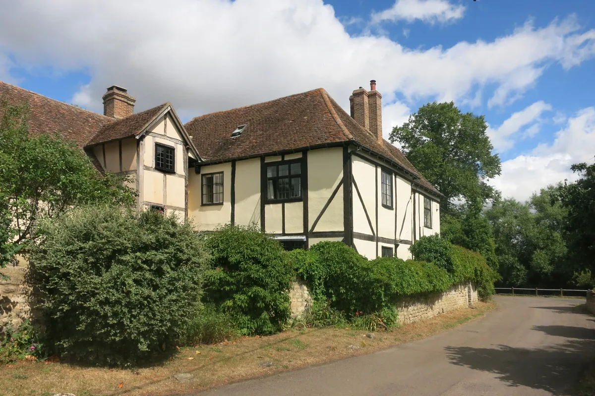
New Manor House The Manor
Stately homes · 2.6 km

Wet Phone Crossing
Viewpoints · 3.0 km
Nearby
📷 3Museums · South East England
Museum of Rural Life
Museum of Rural Life — a museum in england-west-midlands, United Kingdom.
📷 3Gardens · South East England
Waterperry Gardens
Waterperry Gardens — garden in United Kingdom.
📷 5Museums · South East England
Waterperry
Waterperry — a museum in england-west-midlands, United Kingdom.
📷 3Historic bridges · South East England
Waterperry House, Bow Bridge Approximately 750 Metres To South (That Part In The Parish Of Waterperry)
Waterperry House, Bow Bridge Approximately 750 Metres To South (That Part In The Parish Of Waterperry) — Grade II listed building-listed bridge in england-west-midlands, United Kingdom.
📷 3Historic bridges · South East England
Waterstock Mill Bridge
Waterstock Mill Bridge — Grade II listed building-listed bridge in england-west-midlands, United Kingdom.
📷 3Historic bridges · South East England
Bridge Approximately 90 Metres East Of Wheatley Bridge
Bridge Approximately 90 Metres East Of Wheatley Bridge — Grade II listed building-listed bridge in england-west-midlands, United Kingdom.
Where to eat & stay near Oxfordshire Way Picnic Site
Places to stay
 📷 5
📷 5Hotels · South East England
DoubleTree by Hilton Oxford Belfry
DoubleTree by Hilton Oxford Belfry — a hotel in england west midlands. 4-star. Brand: DoubleTree.
 📷 5
📷 5B&Bs · South East England
Common Leys Farm
Common Leys Farm — a bed-and-breakfast in england west midlands.
 📷 5
📷 5Campsites · South East England
Common Leys Farm
Common Leys Farm — a campsite in england west midlands.
 📷 5
📷 5Hotels · South East England
Le Manoir aux Quat'Saisons
Le Manoir aux Quat'Saisons — a hotel in england west midlands.
 📷 5
📷 5Campsites · South East England
Green Acres Farm Camp Site
Green Acres Farm Camp Site — a campsite in england west midlands.
 📷 5
📷 5Hotels · South East England
Oxfordshire Golf Club
Oxfordshire Golf Club — a hotel in england west midlands.
Places to eat & drink
📷 7 📷 5
📷 5Historic pubs · South East England
The Star Inn Public House
The Star Inn Public House in England South East, United Kingdom.
 📷 7
📷 7Restaurants · South East England
The Angel Restaurant
The Angel Restaurant — a restaurant in england west midlands.
 📷 5
📷 5Historic pubs · South East England
Churchill Arms Public House
Churchill Arms Public House in England South East, United Kingdom.
 📷 5
📷 5Restaurants · South East England
The Swan
The Swan — a restaurant in england west midlands.
 📷 5
📷 5Historic pubs · South East England
The Eight Bells Public House
The Eight Bells Public House in England South East, United Kingdom.
More natural landmarks in this region
 📷 5
📷 5Natural landmarks · South East England
Queen Victoria Statue
Queen Victoria Statue — Public artwork (statue) by Victor Ferdinand Franz Eugen Gustaf Adolf Constantin Friedrich of Hohenlohe-Langenburg.
 📷 5
📷 5Natural landmarks · South East England
Silent Pool
Silent Pool — lake in the United Kingdom.
 📷 5
📷 5Natural landmarks · South East England
Thomas & Jane Holloway Statue
Thomas & Jane Holloway Statue — Public artwork (statue) by Victor Ferdinand Franz Eugen Gustaf Adolf Constantin Friedrich of Hohenlohe-Langenburg.
 📷 5
📷 5Natural landmarks · South East England
Polesden Lacey
Polesden Lacey — a other in england-london, United Kingdom.
Frequently asked questions
- Where is Oxfordshire Way Picnic Site?
- Oxfordshire Way Picnic Site is in Oxfordshire, the West Midlands, United Kingdom (postcode OX33 1JY), in the parish of Waterperry with Thomley.
- What is Oxfordshire Way Picnic Site?
- Oxfordshire Way Picnic Site — a other in england-west-midlands, United Kingdom.
- How do I get to Oxfordshire Way Picnic Site?
- Drivers can use postcode OX33 1JY.
- Is Oxfordshire Way Picnic Site a protected site?
- Yes — Oxfordshire Way Picnic Site is part of the Chilterns National Landscape (AONB).
- Is Oxfordshire Way Picnic Site free to visit?
- Yes, Oxfordshire Way Picnic Site is free to enter.
- How do I get to Oxfordshire Way Picnic Site?
- Drivers can navigate to postcode OX33 1JY. It sits within the Henley and Thame parliamentary constituency.