
Watermills · South East England
Watermill at Ford End Farm
In or near Ivinghoe.
Watermill at Ford End Farm — Grade II listed building-listed watermill in england-west-midlands, United Kingdom.

Chris Reynolds — CC BY-SA 2.0 via Wikimedia Commons licence

Plan your visit
- Typical visit
- 30 min–1 h
- Nearest railway station
- Cheddington · 2.7 km
- Free entry
- Family-friendly
- Dog-friendly
Getting there & planning your visit
To visit the Watermill at Ford End Farm, the nearest railway station is Cheddington, located 2.7 km away. Entry is free.
About
Watermill at Ford End Farm is a Grade II listed building-listed watermill in england-west-midlands, United Kingdom, registered on the National Heritage List for England (NHLE entry 1117876). Listed status protects buildings and structures of special architectural or historic interest. See the linked Wikipedia article for further details.
Photo gallery
Heritage listing
Details SP 91 NW IVINGHOE FORD END 4/51 Watermill at Ford End Farm - - II Watermill. Late C18, much restored 1965. Ground floor of red and vitreous brick, upper floor of timber frame and weatherboard, corrugated iron mansard roof. 2 storeys and attic, 2 bays. Centre has boarded stable door to ground floor, and window with boarded shutter above. Similar windows to right bay. Altered lean-to to right over mill race and overshot wheel, has low semi-circular arch to front. Interior is complete with machinery and grain bins and is maintained as a museum. Listing NGR: SP9409516579 Legacy The contents of this record have been generated from a legacy data system. Legacy System number: 42034 Legacy System: LBS
From the Historic England List Entry under OGL v3.
Protected designations
- Area of Outstanding Natural Beauty: Chilterns
Designations sourced from Natural England open data under OGL v3.
Place summary
Watermill at Ford End Farm is a Grade II listed watermill located in the West Midlands. This structure is significant for its historical value and architectural features typical of traditional watermills in the region.
AI-generated from the structured facts on this page (operator, designation, listing, era). Not a substitute for visiting.
- Coordinates
- 51.8399, -0.6356
- District
- Buckinghamshire
- Parish
- Ivinghoe
- Postcode
- LU7 9EA
- Parliamentary constituency
- Aylesbury
- Established
- 1616
- Nearest railway station
- Cheddington — 2.7 km
Sources
- wikidata: Q26411360 (CC0)
Other places nearby
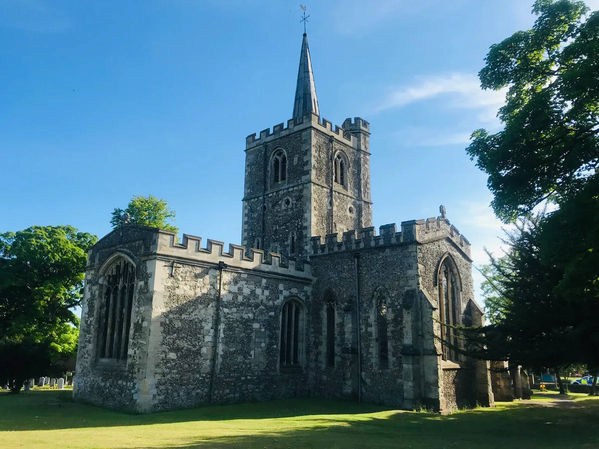
Church of St Mary
Historic churches · 0.6 km

Ivinghoe
Towns & cities · 0.8 km

Town Farm
Campsites · 0.9 km

Pitstone Green Museum
Museums · 1.0 km

Pitstone Windmill
Windmills · 1.0 km

Bridge Number 123 Grand Union Canal
Historic bridges · 1.2 km

Pitstone
Villages · 1.3 km

Bridge Number 126 Grand Union Canal
Historic bridges · 1.4 km

Pitstone
Museums · 1.6 km
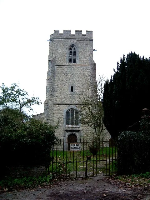
St Mary's Church, Pitstone
Historic churches · 1.6 km

The Old Swan
Historic pubs · 1.8 km

Bridge Number 122 Grand Union Canal
Historic bridges · 1.9 km
Nearby
📷 5Historic churches · South East England
Church of St Mary
Church of St Mary — church in Ivinghoe, Buckinghamshire, England, UK.
📷 5Towns & cities · South East England
Ivinghoe
Ivinghoe — village and civil parish in Buckinghamshire, England.
📷 4📷 3Museums · South East England
Pitstone Green Museum
Pitstone Green Museum — a museum in england-west-midlands, United Kingdom.
📷 3Windmills · South East England
Pitstone Windmill
Pitstone Windmill is a windmill in the United Kingdom.
📷 3Historic bridges · South East England
Bridge Number 123 Grand Union Canal
Bridge Number 123 Grand Union Canal — Grade II listed building-listed bridge in england-west-midlands, United Kingdom.
Where to eat & stay near Watermill at Ford End Farm
Places to stay
📷 4 📷 5
📷 5Campsites · South East England
Norcott Campsite - Camping In The Orchard
Norcott Campsite - Camping In The Orchard — a campsite in england west midlands.
 📷 3
📷 3 📷 5
📷 5Campsites · South East England
Hill Farm Campsite
Hill Farm Campsite — a campsite in england west midlands.
 📷 5
📷 5 📷 5
📷 5Campsites · East of England
Highridge Farm Camping
Highridge Farm Camping — a campsite in england west midlands.
Places to eat & drink
📷 3Historic pubs · South East England
The Old Swan
The Old Swan — Historic pub — listed building or notable heritage status.
 📷 5
📷 5Historic pubs · East of England
The Queens Head Public House With Attached East Barn,Linked South Block And Automobile Association Village Sign On Barn
The Queens Head Public House With Attached East Barn,Linked South Block And Automobile Association Village Sign On Barn in England East, United Kingdom.
 📷 5
📷 5Historic pubs · East of England
The Valiant Trooper Public House
The Valiant Trooper Public House in England East, United Kingdom.
 📷 5
📷 5Historic pubs · East of England
Old Farm Public House
Old Farm Public House in England East, United Kingdom.
 📷 5
📷 5 📷 5
📷 5Historic pubs · South East England
The Rose And Crown
The Rose And Crown in England South East, United Kingdom.
More watermills in this region
 📷 5
📷 5Watermills · South East England
Pippbrook Mill
Pippbrook Mill is a watermill in the United Kingdom.
 📷 5
📷 5Watermills · South East England
Shalford Mill
Shalford Mill is a watermill in the United Kingdom.
 📷 5
📷 5Watermills · South East England
The Mill Pottery
The Mill Pottery — Grade II listed building-listed watermill in england-london, United Kingdom.
 📷 5
📷 5Watermills · South East England
Alderholt Mill
Alderholt Mill is a watermill in the United Kingdom.
Frequently asked questions
- Where is Watermill at Ford End Farm?
- Watermill at Ford End Farm is in the West Midlands, United Kingdom (postcode LU7 9EA), in the parish of Ivinghoe.
- What is Watermill at Ford End Farm?
- Watermill at Ford End Farm — Grade II listed building-listed watermill in england-west-midlands, United Kingdom.
- How do I get to Watermill at Ford End Farm?
- The nearest railway station is Cheddington, about 2.7 km away. Drivers can use postcode LU7 9EA.
- When was Watermill at Ford End Farm built?
- Built or established in 1616.
- Is Watermill at Ford End Farm a listed building?
- Watermill at Ford End Farm is officially recognised as Grade II listed building listed.
- Is Watermill at Ford End Farm a protected site?
- Yes — Watermill at Ford End Farm is part of the Chilterns National Landscape (AONB).
- Is Watermill at Ford End Farm free to visit?
- Yes, Watermill at Ford End Farm is free to enter.
- How do I get to Watermill at Ford End Farm?
- The nearest railway station is Cheddington, about 2.7 km away. Drivers can navigate to postcode LU7 9EA.