
Watermills · South East England
The Mill Pottery
In or near Nettlestead.
The Mill Pottery — Grade II listed building-listed watermill in england-london, United Kingdom.

David Anstiss — CC BY-SA 2.0 via Wikimedia Commons licence

Plan your visit
- Typical visit
- 30 min–1 h
- Nearest railway station
- Wateringbury · 0.7 km
- Free entry
- Family-friendly
- Dog-friendly
Getting there & planning your visit
To visit The Mill Pottery, the nearest railway station is Wateringbury, located 0.7 km away. Entry to the site is free. The postcode for sat-nav is ME18 5PE.
About
The Mill Pottery is a Grade II listed building-listed watermill in england-london, United Kingdom, registered on the National Heritage List for England (NHLE entry 1363048). Listed status protects buildings and structures of special architectural or historic interest. See the linked Wikipedia article for further details.
Photo gallery
Heritage listing
Details This list entry was subject to a Minor Amendment on 16 November 2022 to update the name and address, amend description amended due to change of of building use and to reformat the text to current standards TQ 65 SE 2/122 WATERINGBURY MILL LANE (east side) No 33, The Mill Pottery (Formerly listed as Brattle's Mill, MILL LANE) GV II Former watermill. Mid C19. Red brick with plain tiled half-hipped roof and two dormers. Catslide roofed extension to south. Later gabled wing to north with wooden gallery to west. Wooden mill-wheel in place on north side of main block. Segment headed surrounds to C20 easement windows. Door at west end of main block up eight wooden steps. Machinery awaiting reassembly at time of resurvey. Listing NGR: TQ6860253600 Legacy The contents of this record have been generated from a legacy data system. Legacy System number: 178916 Legacy System: LBS
From the Historic England List Entry under OGL v3.
Protected designations
- Area of Outstanding Natural Beauty: Kent Downs
Designations sourced from Natural England open data under OGL v3.
Place summary
The Mill Pottery is a watermill located in London. It is designated as a Grade II listed building, recognising its historical and architectural significance.
AI-generated from the structured facts on this page (operator, designation, listing, era). Not a substitute for visiting.
- Coordinates
- 51.2545, 0.4154
- County
- Kent
- District
- Tonbridge and Malling
- Parish
- Wateringbury
- Postcode
- ME18 5PE
- Parliamentary constituency
- Tonbridge
- Nearest railway station
- Wateringbury — 0.7 km
Sources
- wikidata: Q26644898 (CC0)
Other places nearby

Wateringbury War Memorial Cross
Memorials & monuments · 0.3 km

Wateringbury
Villages · 0.5 km

Wateringbury railway station
Heritage railway stations · 0.8 km
.jpg?width=1200)
Nettlestead
Towns & cities · 1.1 km
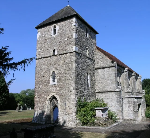
St Mary's Church, Nettlestead
Historic churches · 1.3 km

Nettlestead Place
Manor houses · 1.3 km

Teston
Historic churches · 1.7 km

Mereworth Castle
Castles · 1.8 km

Mereworth Castle
Castles · 1.8 km

St Peter's and St Paul's Church, Teston
Historic churches · 1.9 km

West Malling Runway Memorial
Memorials & monuments · 2.0 km

Children Playing Tug of War
Public art & sculpture · 2.1 km
Nearby
📷 5Memorials & monuments · South East England
Wateringbury War Memorial Cross
Wateringbury War Memorial Cross — Grade II listed building-listed memorial in england-london, United Kingdom.
📷 5📷 5Heritage railway stations · South East England
Wateringbury railway station
Wateringbury railway station — a Grade II*-listed railway station in england-london, United Kingdom.
📷 5Towns & cities · South East England
Nettlestead
Nettlestead — village and civil parish in Kent, United Kingdom.
📷 5Historic churches · South East England
St Mary's Church, Nettlestead
St Mary's Church, Nettlestead — church in Nettlestead, Kent, England, UK.
📷 5Manor houses · South East England
Nettlestead Place
Nettlestead Place — a manor in england-london, United Kingdom.
Where to eat & stay near The Mill Pottery
Places to stay
 📷 5
📷 5 📷 5
📷 5Campsites · South East England
Whitewater Action Medway
Whitewater Action Medway — a campsite in england london.
 📷 5
📷 5Campsites · South East England
Hamlet Wood Scout Campsite
Hamlet Wood Scout Campsite — a campsite in england london. Brand: The Scout Association.
 📷 5
📷 5Campsites · South East England
Gate House Wood Touring Park
Gate House Wood Touring Park — a campsite in england london.
 📷 5
📷 5Caravan parks · South East England
Lamb's Caravan Park
Lamb's Caravan Park — a caravan park in england south east.
 📷 5
📷 5Places to eat & drink
 📷 7
📷 7Historic pubs · South East England
The Tickled Trout
The Tickled Trout in England South East, United Kingdom.
 📷 7
📷 7Historic pubs · South East England
The King And Queen Public House
The King And Queen Public House in England South East, United Kingdom.
 📷 5
📷 5Historic pubs · South East England
Five Pointed Star Public House
Five Pointed Star Public House in England South East, United Kingdom.
 📷 5
📷 5Historic pubs · South East England
The Joiners Arms Public House
The Joiners Arms Public House in England South East, United Kingdom.
 📷 7
📷 7 📷 5
📷 5More watermills in this region
 📷 5
📷 5Watermills · South East England
Pippbrook Mill
Pippbrook Mill is a watermill in the United Kingdom.
 📷 5
📷 5Watermills · South East England
Shalford Mill
Shalford Mill is a watermill in the United Kingdom.
 📷 5
📷 5Watermills · South East England
Alderholt Mill
Alderholt Mill is a watermill in the United Kingdom.
 📷 5
📷 5Frequently asked questions
- Where is The Mill Pottery?
- The Mill Pottery is in Kent, London, United Kingdom (postcode ME18 5PE), in the parish of Wateringbury.
- What is The Mill Pottery?
- The Mill Pottery — Grade II listed building-listed watermill in england-london, United Kingdom.
- How do I get to The Mill Pottery?
- The nearest railway station is Wateringbury, about 0.7 km away. Drivers can use postcode ME18 5PE.
- Is The Mill Pottery a listed building?
- The Mill Pottery is officially recognised as Grade II listed building listed.
- Is The Mill Pottery a protected site?
- Yes — The Mill Pottery is part of the Kent Downs National Landscape (AONB).
- Is The Mill Pottery free to visit?
- Yes, The Mill Pottery is free to enter.
- How do I get to The Mill Pottery?
- The nearest railway station is Wateringbury, about 0.7 km away. Drivers can navigate to postcode ME18 5PE.