
Mountains & hills · Scottish Islands
Ward of Virdaskule
Ward of Virdaskule — mountain in scotland islands. Elevation: 94 m.

Rude Health — CC BY-SA 2.0 via Wikimedia Commons licence

Plan your visit
- Typical visit
- 3 h–8 h
- Best time of year
- Late spring – early autumn (May–Oct)
- Dog-friendly
About
Ward of Virdaskule is a mountain located in scotland islands. Elevation: 94 m. A named British peak recorded in OpenStreetMap. Peaks are typically named on Ordnance Survey 1:50k mapping.
Photo gallery
Place summary
Ward of Virdaskule is a mountain located in the Scottish Islands. It is known for its rugged terrain and natural beauty. Visitors can expect a challenging environment suited for experienced hikers and climbers. The area offers stunning views of the surrounding landscape, making it a notable destination for outdoor enthusiasts.
AI-generated from the structured facts on this page (operator, designation, listing, era). Not a substitute for visiting.
- Coordinates
- 60.2698, -1.3999
- District
- Shetland Islands
- Postcode
- ZE2 9LS
- Parliamentary constituency
- Orkney and Shetland
Sources
- osm: n3473836444 (ODbL)
Other places nearby
Ward of Virdaskule
Mountains & hills · 0.0 km

Twatt
Villages · 1.0 km

Brecks Hill
Mountains & hills · 1.1 km

Broch of Houlland
Archaeological sites · 1.2 km

Broch of Houlland
Archaeological sites · 1.2 km
Tumblin Hill
Mountains & hills · 1.2 km

Haarwell Hill
Mountains & hills · 1.3 km

Corklee Hill
Mountains & hills · 1.5 km

Bixter
Other places · 1.8 km

Aith
Other places · 2.0 km
Aith Church, Aith
Historic churches · 2.0 km

Ward of Tumblin
Mountains & hills · 2.0 km
Nearby
📷 5Mountains & hills · Scottish Islands
Ward of Virdaskule
Ward of Virdaskule — a hill or mountain in scotland islands.
📷 5📷 5Mountains & hills · Scottish Islands
Brecks Hill
Brecks Hill — mountain in scotland islands. Elevation: 91 m.
📷 3Archaeological sites · Scottish Islands
Broch of Houlland
Broch of Houlland — an archaeological site in Scottish Islands, United Kingdom.
📷 5Archaeological sites · Scottish Islands
Broch of Houlland
Broch of Houlland — archaeological in scotland islands.
📷 5Mountains & hills · Scottish Islands
Tumblin Hill
Tumblin Hill — mountain in scotland islands. Elevation: 95 m.
Where to eat & stay near Ward of Virdaskule
Places to stay
 📷 5
Campsites · Scottish Islands
Skeld Caravan Park and Campsite
Skeld Caravan Park and Campsite — a campsite in scotland islands.
 📷 5
 📷 5
Campsites · Scottish Islands
South Nesting
South Nesting — a campsite in scotland islands.
 📷 5
Caravan parks · Scottish Islands
Scalloway Caravan Park
Scalloway Caravan Park — a caravan park in scotland islands.
 📷 5
Hostels · Scottish Islands
Islesburgh House Hostel
Islesburgh House Hostel — a hostel in scotland islands.
Caravan parks · Scottish Islands
Bressay Marina & Caravan Park
Bressay Marina & Caravan Park — a caravan park in scotland islands.
Places to eat & drink
 📷 5
Historic pubs · Scottish Islands
Busta House Hotel, Brae
Busta House Hotel, Brae in England South East, United Kingdom.
 📷 7
Historic pubs · Scottish Islands
86 Commercial Street, Lerwick
86 Commercial Street, Lerwick in England South East, United Kingdom.
 📷 7
Historic pubs · Scottish Islands
The Booth, Hillswick House, Hillswick
The Booth, Hillswick House, Hillswick in England South East, United Kingdom.
More mountains in this region
 📷 3
Mountains & hills · Scottish Islands
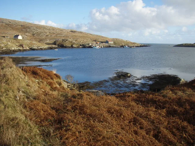
Acairseid Mhor
Acairseid Mhor — bay in Outer Hebrides, Scotland, UK.
 📷 3
Mountains & hills · Scottish Islands
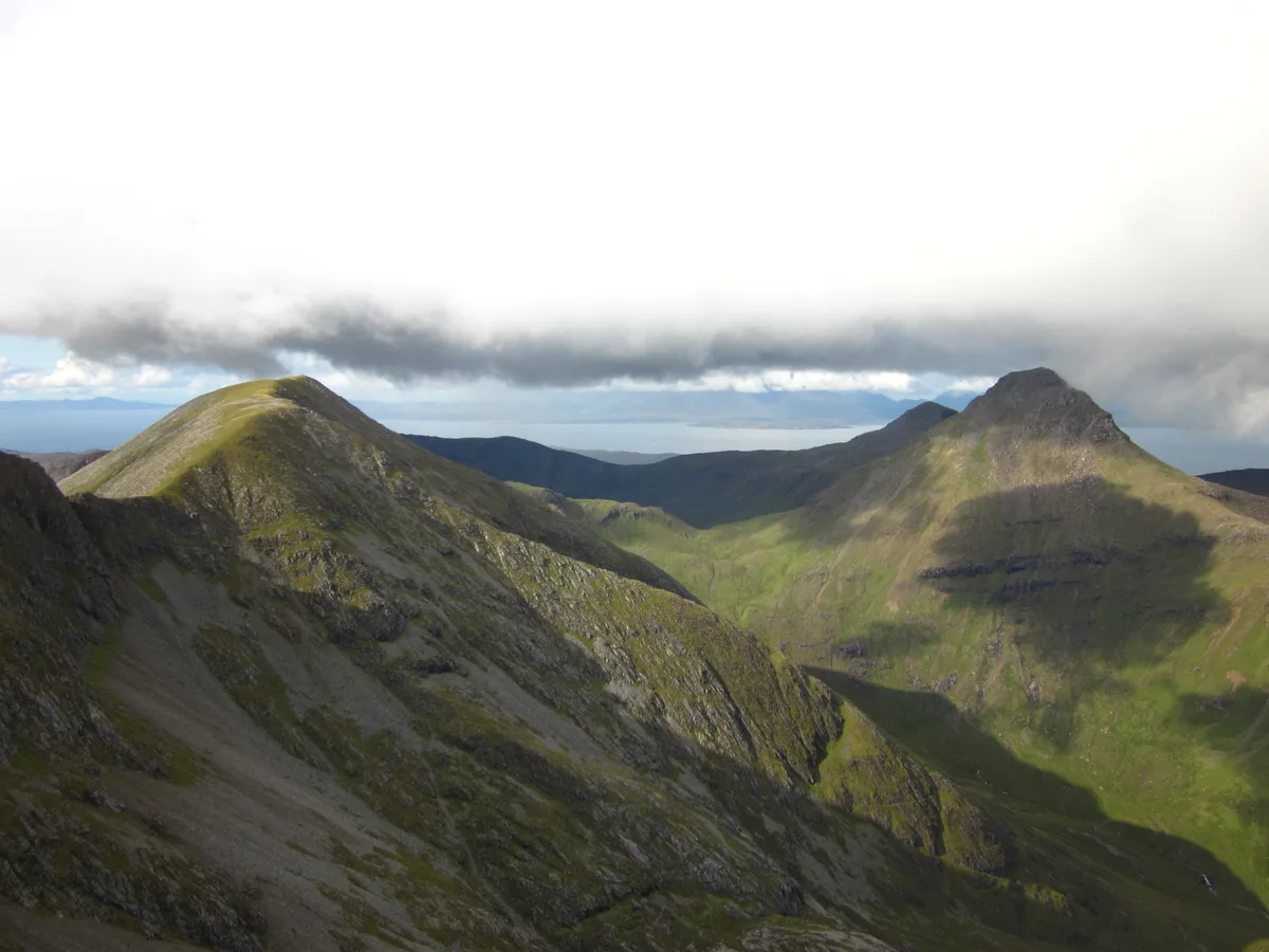
Ainshval
Ainshval — Named summit at 781 m.
 📷 3
 📷 5
Mountains & hills · Scottish Islands
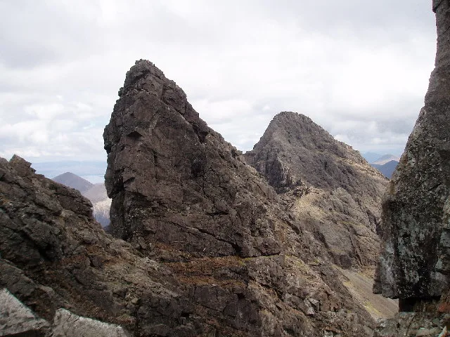
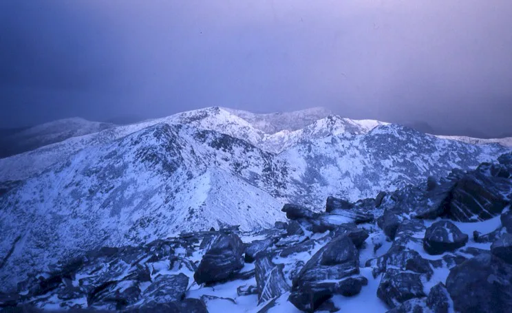
An Cliseam
An Cliseam — Named summit at 799 m.
Frequently asked questions
- Where is Ward of Virdaskule?
- Ward of Virdaskule is in the Scottish Islands, United Kingdom (postcode ZE2 9LS).
- What is Ward of Virdaskule?
- Ward of Virdaskule — mountain in scotland islands. Elevation: 94 m.
- How do I get to Ward of Virdaskule?
- Drivers can use postcode ZE2 9LS.
- How do I get to Ward of Virdaskule?
- Drivers can navigate to postcode ZE2 9LS. It sits within the Orkney and Shetland parliamentary constituency.