
Holy wells · South East England
Wall, Stretching About 30 Yards West From Littlegate Street
In or near Oxford.
Wall, Stretching About 30 Yards West From Littlegate Street — Grade I listed wall in Oxford, United Kingdom.
.jpg?width=1200)
Wikimedia Commons contributors — see linked file page for photographer and licence licence
.jpg)
Plan your visit
- Typical visit
- 15 min–30 min
- Nearest railway station
- Oxford · 0.9 km
- Free entry
- Family-friendly
- Dog-friendly
About
Wall, Stretching About 30 Yards West From Littlegate Street is a place of interest in Oxfordshire, the West Midlands. Officially recognised as Grade I listed building. It sits within the Oxford West and Abingdon parliamentary constituency. The nearest railway station is Oxford, about 0.9 km away. Postcode area OX1.
Photo gallery
See it from the streetimagery from 2022
Imagery © Mapillary contributors, CC BY-SA 4.0
Official information
The Pembroke JCR Art Gallery hosts a variety of exhibitions showcasing contemporary art. Visitors can explore works by different artists, including public talks and events related to the exhibitions. The gallery aims to provide a platform for artistic expression and community engagement.
Place summary
The Wall, Stretching About 30 Yards West From Littlegate Street, is a Grade I listed holy well located in Oxford, an unparished area of the West Midlands. This structure is notable for its historical significance within the context of the region.
AI-generated from the structured facts on this page (operator, designation, listing, era). Not a substitute for visiting.
- Coordinates
- 51.7499, -1.2590
- County
- Oxfordshire
- District
- Oxford
- Parish
- Oxford, unparished area
- Postcode
- OX1 1QT
- Parliamentary constituency
- Oxford West and Abingdon
- Nearest railway station
- Oxford — 0.9 km
- Opening
- Wednesday to Friday 3pm–6pm; weekends 11am–4pm; closed 24–26 Dec
- Official site
- www.pembrokejcrart.org
Sources
- wikidata: Q17528273 (CC0)
- commons: Brewer Street (geograph 5987617).jpg (CC BY-SA 4.0)
Other places nearby

Pembroke Art
Galleries · 0.0 km

Pembroke College, Chapel Pembroke College, South Range
Chapels · 0.1 km

8, 9 & 10 Turn Again Lane
Memorials & monuments · 0.1 km

Modern Art Oxford
Museums · 0.1 km

Paradise Garden
Public art & sculpture · 0.1 km
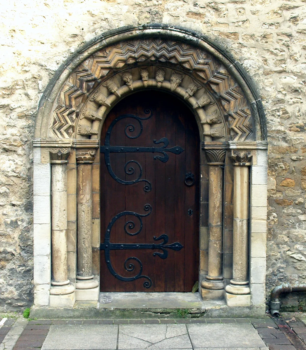
St Ebbe's Church
Historic churches · 0.1 km
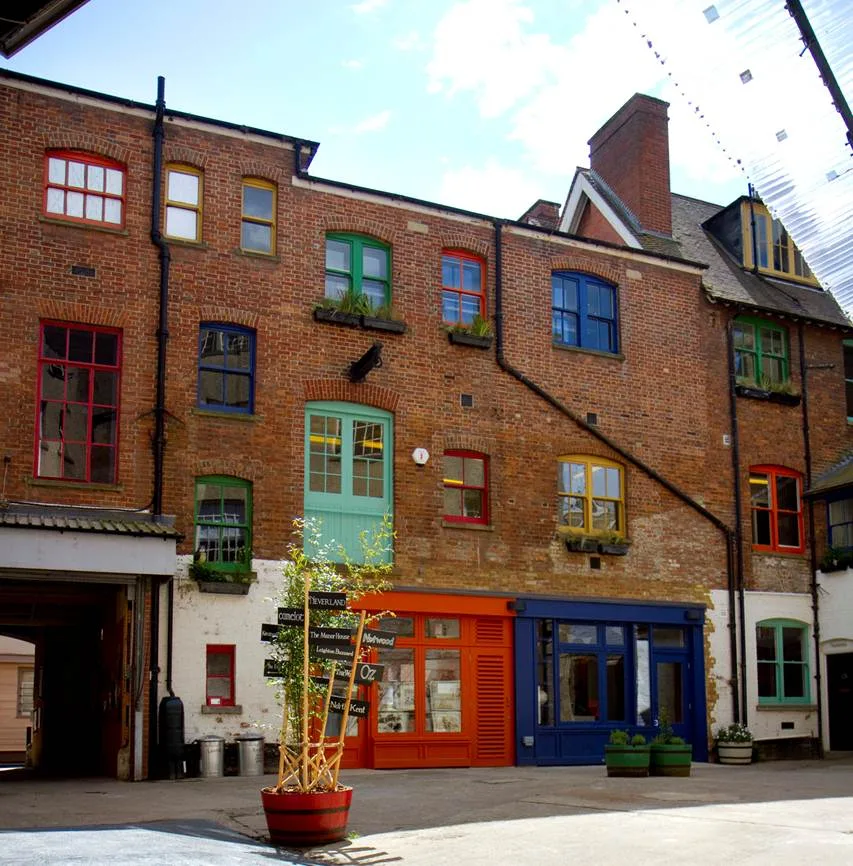
The Story Museum
Museums · 0.1 km
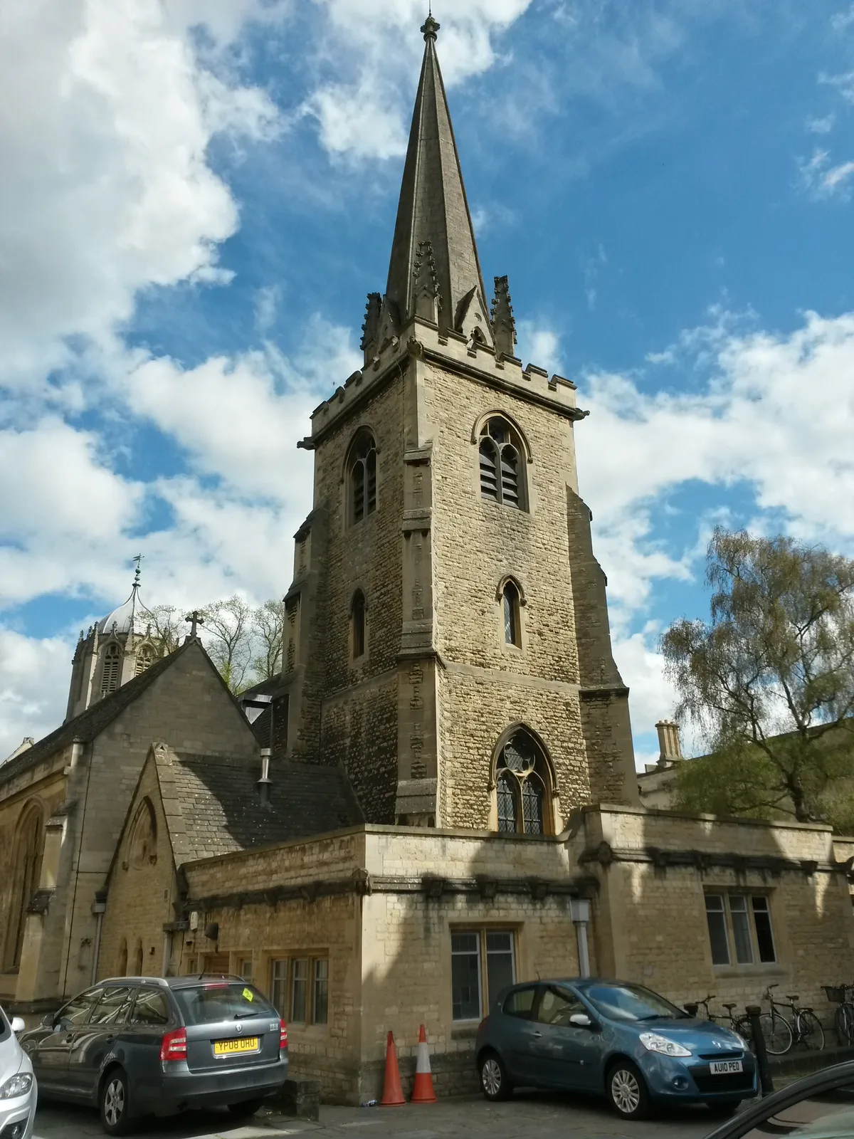
St Aldate's Church
Historic churches · 0.1 km

Story Museum
Museums · 0.1 km
Roger Bacon
Memorials & monuments · 0.1 km

Oxford Media & Business School
Natural landmarks · 0.1 km
Electra Cinema
Theatres · 0.1 km
Nearby
📷 3Galleries · South East England
Pembroke Art
Pembroke Art — a gallery in england-west-midlands, United Kingdom.
📷 3Chapels · South East England
Pembroke College, Chapel Pembroke College, South Range
Pembroke College, Chapel Pembroke College, South Range — a Grade I-listed chapel in england-west-midlands, United Kingdom.
📷 3Memorials & monuments · South East England
8, 9 & 10 Turn Again Lane
8, 9 & 10 Turn Again Lane — a memorial in england-west-midlands, United Kingdom.
📷 5Museums · South East England
Modern Art Oxford
Modern Art Oxford is an art gallery established in 1965 in Oxford, England. From 1965 to 2002, it was called The Museum of Modern Art, Oxford. The gallery presents exhibitions of modern and contempora
📷 3Public art & sculpture · South East England
Paradise Garden
Paradise Garden — a public art in england-west-midlands, United Kingdom.
📷 3Historic churches · South East England
St Ebbe's Church
St Ebbe's Church — parish church in central Oxford, England.
Where to eat & stay near Wall, Stretching About 30 Yards West From Littlegate Street
Places to stay
 📷 5
📷 5B&Bs · South East England
St Michael's Guest House
St Michael's Guest House — a bed-and-breakfast in england west midlands.
 📷 5
📷 5Hotels · South East England
Old Bank Hotel
Old Bank Hotel — a hotel in england west midlands.
 📷 5
📷 5Hostels · South East England
Central Backpackers Oxford
Central Backpackers Oxford — a hostel in england west midlands.
 📷 5
📷 5Hostels · South East England
Oxford Backpackers
Oxford Backpackers — a hostel in england west midlands.
 📷 7
📷 7Hotels · South East England
Mercure Oxford Eastgate Hotel
Mercure Oxford Eastgate Hotel — a hotel in england west midlands. Brand: Mercure.
 📷 7
📷 7Hotels · South East England
River Hotel
River Hotel — a hotel in england west midlands.
Places to eat & drink
 📷 7
📷 7 📷 7
📷 7Historic pubs · South East England
Bear Inn
Bear Inn in England South East, United Kingdom.
 📷 5
📷 5Cafés · South East England
Love Coffee Co.
Love Coffee Co. — a café in england west midlands.
 📷 6
📷 6Cafés · South East England
The Missing Bean
The Missing Bean — a café in england west midlands.
 📷 5
📷 5Historic pubs · South East England
King's Arms
King's Arms in England South East, United Kingdom.
 📷 5
📷 5Cafés · South East England
Queen's Lane Coffee House
Queen's Lane Coffee House — a café in england west midlands. Cuisine: coffee shop.
More places in this region
 📷 5
📷 5Holy wells · South East England
Garden Walls Adjoining Knole
Garden Walls Adjoining Knole — Grade I listed wall in Sevenoaks, Sevenoaks, Kent, England, UK.
 📷 5
📷 5Holy wells · South East England
Gatehouse And Walls To The North And East Of The Friars
Gatehouse And Walls To The North And East Of The Friars — Grade I listed wall in Aylesford, Tonbridge and Malling, Kent, England, UK.
 📷 5
📷 5Holy wells · South East England
Boundary wall extending south from The Old Farmhouse
Boundary wall extending south from The Old Farmhouse — Grade II listed wall in Monxton, Test Valley, Hampshire, England, UK.
 📷 5
📷 5Holy wells · South East England
Boundary Walling To West Side Of No 59
Boundary Walling To West Side Of No 59 — wall in Sandwich, Dover, Kent, England, UK.
Frequently asked questions
- Where is Wall, Stretching About 30 Yards West From Littlegate Street?
- Wall, Stretching About 30 Yards West From Littlegate Street is in Oxfordshire, the West Midlands, United Kingdom (postcode OX1 1QT), in the parish of Oxford, unparished area.
- What is Wall, Stretching About 30 Yards West From Littlegate Street?
- Wall, Stretching About 30 Yards West From Littlegate Street — Grade I listed wall in Oxford, United Kingdom.
- How do I get to Wall, Stretching About 30 Yards West From Littlegate Street?
- The nearest railway station is Oxford, about 0.9 km away. Drivers can use postcode OX1 1QT.
- Is Wall, Stretching About 30 Yards West From Littlegate Street a listed building?
- Wall, Stretching About 30 Yards West From Littlegate Street is officially recognised as Grade I listed building listed.
- Is Wall, Stretching About 30 Yards West From Littlegate Street free to visit?
- Yes, Wall, Stretching About 30 Yards West From Littlegate Street is free to enter.
- How do I get to Wall, Stretching About 30 Yards West From Littlegate Street?
- The nearest railway station is Oxford, about 0.9 km away. Drivers can navigate to postcode OX1 1QT.