Memorials & monuments · Mid Wales
Vale of Montgomery
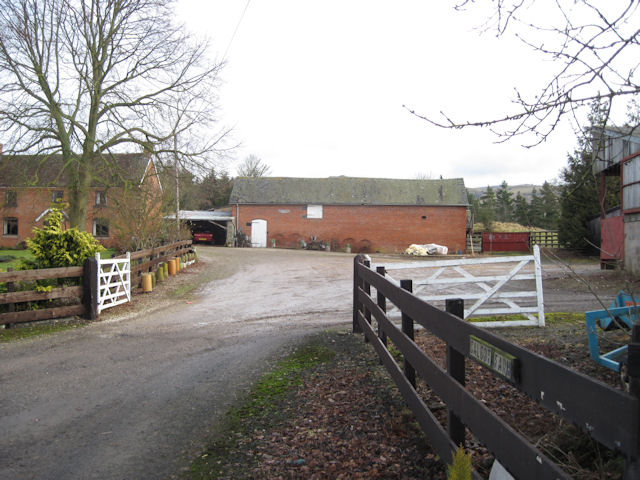
In or near Montgomery Town F.C..
Vale of Montgomery in Wales Mid, United Kingdom.

John H Darch — CC BY-SA 2.0 via Wikimedia Commons licence
Plan your visit
- Typical visit
- 15 min–45 min
- Free entry
- Dog-friendly
About
Vale of Montgomery is a place of interest in Wales Mid, United Kingdom — drawn from open-data sources for visitor reference. See the linked Wikipedia article for the full description.
Photo gallery
Protected designations
- Area of Outstanding Natural Beauty: Shropshire Hills
Designations sourced from Natural England open data under OGL v3.
From the Wikipedia article
The Vale of Montgomery (Welsh: Dyffryn Trefaldwyn) is an area of low land straddling the border between Shropshire, England and the former county of Montgomeryshire (part of modern Powys), Wales. The three principal settlements within it are the former county town of Montgomery (Welsh: Trefaldwyn) and the village of Churchstoke (Welsh: Yr Ystog), both in Wales, and Chirbury in England. The earthworks of Offa's Dyke run NNW-ESE through the middle of the vale and are followed by the Offa's Dyke Path. The national boundary also follows this monument for 3 km within the vale. The River Camlad rises to the southeast of the vale whilst its tributary the Caebitra rises to its southwest. They combine at Churchstoke and flow north within a gorge along the eastern margin of the vale, before turning west across the north end of the vale to join the River Severn.
Excerpt from Wikipedia under CC BY-SA 4.0. See the source article linked in Sources below.
- Coordinates
- 52.5561, -3.1058
- District
- Shropshire
- Parish
- Chirbury with Brompton
- Postcode
- SY15 6UH
- Parliamentary constituency
- South Shropshire
Sources
- wikidata: Q104829955 (CC0)
- wikipedia: Vale of Montgomery (CC BY-SA 4.0)
Other places nearby

Upper Gwarthlow
Castles · 0.4 km
Upper Gwarthlow Motte
Literary houses · 0.5 km

Chirbury Rural District
Other places · 0.9 km

Dudston Castle Mound
Castles · 1.6 km
Motte castle at the south end of East Dudston hamlet
Literary houses · 1.6 km

Brompton and Rhiston
Other places · 1.8 km

Lymore, Montgomery
Castles · 2.0 km
Calcot Camp
Vineyards · 2.3 km

Caerbre
Vineyards · 2.4 km

The Lack
Other places · 2.5 km

Montgomery Town F.C.
Towns & cities · 2.5 km

Brompton Roman fort
Archaeological sites · 2.6 km
Nearby
📷 5📷 5Literary houses · Mid Wales
Upper Gwarthlow Motte
Upper Gwarthlow Motte — a literary house museum in wales mid.
📷 3Other places · Mid Wales
Chirbury Rural District
Chirbury Rural District in Wales Mid, United Kingdom.
📷 5📷 5Literary houses · Mid Wales
Motte castle at the south end of East Dudston hamlet
Motte castle at the south end of East Dudston hamlet — a literary house museum in wales mid.
Where to eat & stay near Vale of Montgomery
Places to stay
 📷 5
📷 5 📷 5
📷 5 📷 5
📷 5 📷 5
📷 5Caravan parks · Mid Wales
Daisy Bank Touring Caravan Park
Daisy Bank Touring Caravan Park — a caravan park in wales mid.
 📷 5
📷 5Caravan parks · Mid Wales
Runnis Meadow Campsite
Runnis Meadow Campsite — a caravan park in wales mid.
 📷 5
📷 5Campsites · Mid Wales
Foxholes Camp Site
Foxholes Camp Site — a campsite in wales mid.
Places to eat & drink
 📷 7
📷 7 📷 4
📷 4Historic pubs · Mid Wales
The Checkers
The Checkers in Wales Mid, United Kingdom.
 📷 7
📷 7 📷 5
📷 5Historic pubs · Mid Wales
The Black Lion And Forecourt Railings
The Black Lion And Forecourt Railings in Wales Mid, United Kingdom.
 📷 7
📷 7Historic pubs · Mid Wales
The Six Bells And Former Stables To Rear
The Six Bells And Former Stables To Rear in Wales Mid, United Kingdom.
 📷 4
📷 4More memorials in this region
 📷 5
📷 5Memorials & monuments · Mid Wales
Carreg Coetan Arthur
Carreg Coetan Arthur is a Neolithic dolmen in Newport, Pembrokeshire, Wales. Carreg Coetan Arthur dates from around 3000 BC and is the remains of a Neolithic burial chamber (also known as a quoit). Th
 📷 3
📷 3Memorials & monuments · Mid Wales
Dinas Island
Dinas Island (Welsh: Ynys Dinas) is a peninsula, partially detached from the mainland, in the community of Dinas Cross between Fishguard and Newport, Pembrokeshire, in southwest Wales. A triangulation
 📷 3
📷 3Memorials & monuments · Mid Wales
Rodney's Pillar
Rodney's Pillar is a memorial in the United Kingdom.
 📷 3
📷 3Memorials & monuments · Mid Wales
Alberbury War Memorial
Alberbury War Memorial — Grade II listed building-listed memorial in wales-north, United Kingdom.
Frequently asked questions
- Where is Vale of Montgomery?
- Vale of Montgomery is in Mid Wales, United Kingdom (postcode SY15 6UH), in the parish of Chirbury with Brompton.
- What is Vale of Montgomery?
- Vale of Montgomery in Wales Mid, United Kingdom.
- How do I get to Vale of Montgomery?
- Drivers can use postcode SY15 6UH.
- Is Vale of Montgomery a protected site?
- Yes — Vale of Montgomery is part of the Shropshire Hills National Landscape (AONB).
- Is Vale of Montgomery free to visit?
- Yes, Vale of Montgomery is free to enter.
- How do I get to Vale of Montgomery?
- Drivers can navigate to postcode SY15 6UH. It sits within the South Shropshire parliamentary constituency.