
Natural landmarks · South West England
University of St Mark & St John
In or near Tamerton Foliot.
University of St Mark & St John — a university in england-south-west, United Kingdom.

Chris McKenna — CC BY-SA 3.0 via Wikimedia Commons licence

Plan your visit
- Typical visit
- 1 h–2 h
- Nearest railway station
- Plym Bridge · 2.5 km
- Free entry
- Dog-friendly
- Limited wheelchair access
About
University of St Mark & St John is a university located in england-south-west, United Kingdom. Catalogued from Wikidata's UK heritage register; see the Wikipedia article for further historical and visitor details.
Photo gallery
Official information
The University of St Mark & St John, also known as Plymouth Marjon University, offers a range of undergraduate and postgraduate courses across various disciplines. The campus features green spaces and is located near the South Devon coastline and Dartmoor, providing opportunities for outdoor activities.
Protected designations
- Area of Outstanding Natural Beauty: South Devon
- Area of Outstanding Natural Beauty: Tamar Valley
Designations sourced from Natural England open data under OGL v3.
Place summary
The University of St Mark & St John is located in South-West England. It is a higher education institution offering a range of undergraduate and postgraduate courses. The university focuses on teacher training and other professional development programmes.
AI-generated from the structured facts on this page (operator, designation, listing, era). Not a substitute for visiting.
Background
History
The university's history dates back to the foundation of its predecessor colleges in London, St John's College and St Mark's College. The former chapel of St Mark's College, designed by Edward Blore is on the Fulham Road, Chelsea, and is now a private residence. St Mark's College in Chelsea was founded by the National Society (now National Society for Promoting Religious Education) in 1841. Its first principal, The Reverend Derwent Coleridge, son of the poet Samuel Taylor Coleridge, emphasised the study of Latin and worship in the college chapel. During the First World War, St Mark's College was requisitioned by the War Office to create the 2nd London General Hospital, a facility for the…
Sourced from Wikipedia under CC BY-SA 4.0.
- Coordinates
- 50.4206, -4.1100
- District
- Plymouth
- Parish
- Plymouth, unparished area
- Postcode
- PL6 8BH
- Parliamentary constituency
- Plymouth Moor View
- Established
- 2012
- Nearest railway station
- Plym Bridge — 2.5 km
- Official site
- marjon.ac.uk
Sources
- wikidata: Q7894637 (CC0)
- wikipedia: Plymouth Marjon University (CC BY-SA 4.0)
Other places nearby

Drama Theatre
Theatres · 0.1 km

Toby Carvery
Restaurants · 0.8 km

'The Ship', Derriford
Gardens · 1.0 km
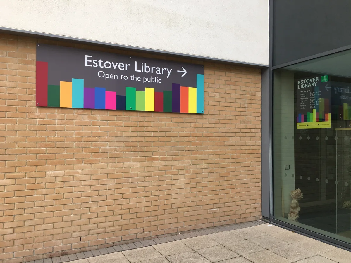
Estover Library
Historic libraries · 1.2 km

Tor Bridge High
Historic bridges · 1.3 km
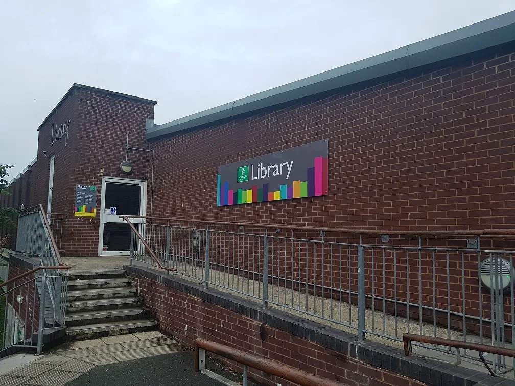
Southway Library
Historic libraries · 1.5 km

Crownhill Fort
Hill forts · 1.6 km

Crownhill Fort
Castles · 1.7 km

Crownhill
Villages · 1.7 km

Bowden Battery
Forts · 1.7 km

Forder Battery
Forts · 1.8 km

Eggbuckland Keep
Forts · 1.9 km
Nearby
📷 5📷 5Restaurants · South West England
Toby Carvery
Toby Carvery — a restaurant in england south west. Cuisine: british. Brand: Toby Carvery.
📷 3Gardens · South West England
'The Ship', Derriford
'The Ship', Derriford — a garden in england-south-west, United Kingdom.
📷 5Historic libraries · South West England
Estover Library
Estover Library — library in Plymouth, UK.
📷 5Historic bridges · South West England
Tor Bridge High
Tor Bridge High — a school heritage in england-south-west, United Kingdom.
📷 3Historic libraries · South West England
Southway Library
Southway Library — library in Plymouth, UK.
Where to eat & stay near University of St Mark & St John
Places to stay
 📷 5
📷 5Caravan parks · South West England
Riverside Caravan Park
Riverside Caravan Park — a caravan park in england south west.
 📷 5
📷 5Campsites · South West England
Riverside
Riverside — a campsite in england south west.
 📷 5
📷 5 📷 5
📷 5Hostels · South West England
Plymouth Backpackers
Plymouth Backpackers — a hostel in england south west.
 📷 7
📷 7 📷 5
📷 5Hotels · South West England
Moxy Hotel
Moxy Hotel — a hotel in england south west.
Places to eat & drink
📷 5Restaurants · South West England
Toby Carvery
Toby Carvery — a restaurant in england south west. Cuisine: british. Brand: Toby Carvery.
 📷 5
📷 5 📷 5
📷 5Restaurants · South West England
Miller & Carter
Miller & Carter — a restaurant in england south west. Cuisine: steak. Brand: Miller & Carter.
 📷 5
📷 5Historic pubs · South West England
Minerva Inn (Number 31)
Minerva Inn (Number 31) in England South West, United Kingdom.
 📷 5
📷 5Historic pubs · South West England
The Bank Public House
The Bank Public House in England South West, United Kingdom.
 📷 7
📷 7More natural landmarks in this region
 📷 5
📷 5Natural landmarks · South West England
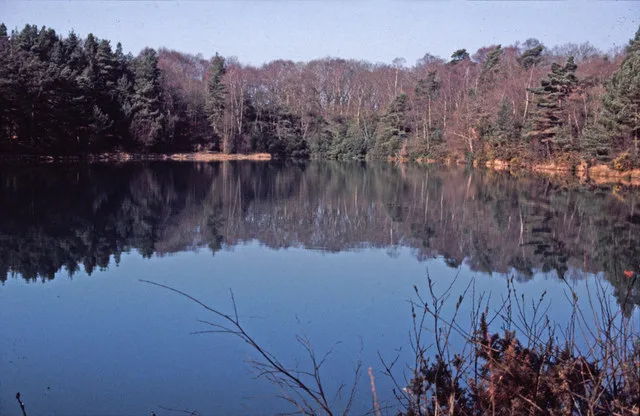
Blue Pool
Blue Pool — lake in Dorset, England, UK.
 📷 5
📷 5Natural landmarks · South West England
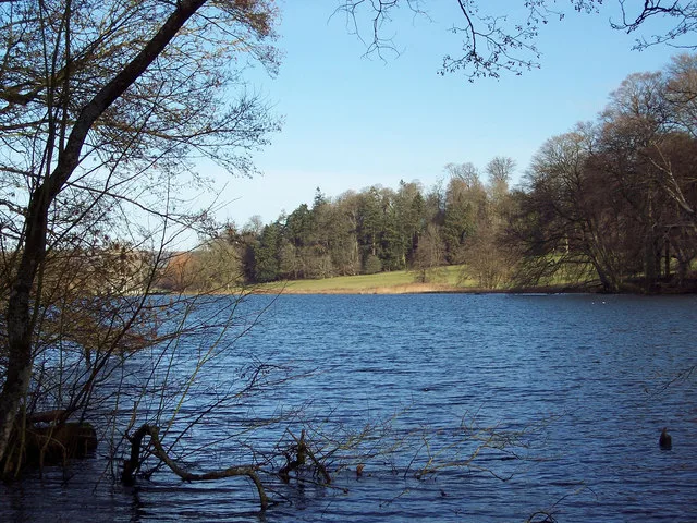
Fonthill Lake
Fonthill Lake — lake in Wiltshire, England, UK.
 📷 5
📷 5 📷 5
📷 5Natural landmarks · South West England
Orchardleigh Lake
Orchardleigh Lake — lake in the United Kingdom.
Frequently asked questions
- Where is University of St Mark & St John?
- University of St Mark & St John is in South-West England, United Kingdom (postcode PL6 8BH), in the parish of Plymouth, unparished area.
- What is University of St Mark & St John?
- University of St Mark & St John — a university in england-south-west, United Kingdom.
- How do I get to University of St Mark & St John?
- The nearest railway station is Plym Bridge, about 2.5 km away. Drivers can use postcode PL6 8BH.
- When was University of St Mark & St John built?
- Built or established in 2012.
- Is University of St Mark & St John a protected site?
- Yes — University of St Mark & St John is part of the South Devon National Landscape (AONB) and the Tamar Valley National Landscape (AONB).
- Is University of St Mark & St John free to visit?
- Yes, University of St Mark & St John is free to enter.
- How do I get to University of St Mark & St John?
- The nearest railway station is Plym Bridge, about 2.5 km away. Drivers can navigate to postcode PL6 8BH.