Castles · North West England
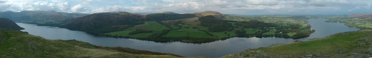
Ullswater
In or near Howtown.
Ullswater is a glacial lake in Cumbria, England. It is part of the Lake District and is the second largest lake in the region by both area and volume, after Windermere. The lake is about 7 miles (11 k

Peter Skynner — CC BY-SA 2.0 via Wikimedia Commons licence
Plan your visit
- Typical visit
- 1.5 h–3 h
- Family-friendly
- Limited wheelchair access
About
Ullswater is a glacial lake in Cumbria, England. It is part of the Lake District and is the second largest lake in the region by both area and volume, after Windermere. The lake is about 7 miles (11 km) long, 0.75 miles (1 km) wide, and has a maximum depth of 63 metres (207 ft). Its outflow is the River Eamont, which meets the River Eden at Brougham Castle before flowing into the Solway Firth. The lake historically formed part of the border between Cumberland and Westmorland.
Photo gallery
Protected designations
- Site of Special Scientific Interest: River Eden and Tributaries SSSI
Designations sourced from Natural England open data under OGL v3.
From the Wikipedia article
Ullswater is a glacial lake in Cumbria, England. It is part of the Lake District and is the second largest lake in the region by both area and volume, after Windermere. The lake is about 7 miles (11 km) long, 0.75 miles (1 km) wide, and has a maximum depth of 63 metres (207 ft). Its outflow is the River Eamont, which meets the River Eden at Brougham Castle before flowing into the Solway Firth. The lake historically formed part of the border between Cumberland and Westmorland.
Excerpt from Wikipedia under CC BY-SA 4.0. See the source article linked in Sources below.
Background
Description
Lee Noble (2002, 2004-2007, 2009) -6, Lester Noble (2004-2007, 2009, 2010) - 6|most successful club=Ullswater Yacht Club - 27|website=https://www.ullswaterycbirkett.org/|champions= Adam Ovington & Stuart Keegan - International 14}} The Lord Birkett Memorial Trophy is an annual sailing regatta held at the Ullswater Yacht Club. It was first held in 1963 following the death of Lord Norman Birkett, whom the event and trophy is named for. Following the death of Lord Birkett shortly after he gave a speech in campaigning for the prevention of Ullswater being turned into a reservoir, the event was held for the following year in the first weekend of July. Since then the event has been held during…
Sourced from Wikipedia under CC BY-SA 4.0.
- Coordinates
- 54.5775, -2.8750
- District
- Westmorland and Furness
- Parish
- Matterdale
- Postcode
- CA11 0JL
- Parliamentary constituency
- Westmorland and Lonsdale
- Official site
- www.environment-agency.gov.uk
Sources
- wikipedia: Ullswater (CC BY-SA 4.0)
Featured in these 2 guides
Other places nearby

Hallin Fell
Natural landmarks · 0.8 km
Hallin Fell
Mountains & hills · 0.8 km

Poetry Stones
Memorials & monuments · 0.9 km

Howtown Pier
Piers · 1.0 km

Ullswater
Lakes · 1.0 km

Howtown Pier
Piers · 1.0 km

The Knotts
Mountains & hills · 1.1 km
The Knotts
Mountains & hills · 1.1 km

Howtown
Towns & cities · 1.2 km

Bridge Immediately North East Of Howtown House
Historic bridges · 1.2 km

Knotts Hill Lodge Park
Caravan parks · 1.3 km
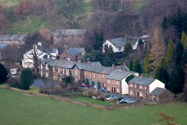
Howtown Hotel
Historic houses · 1.3 km
Nearby
📷 5📷 5📷 3Memorials & monuments · North West England
Poetry Stones
Poetry Stones — a memorial in england-north-east, United Kingdom.
📷 3📷 5📷 3Where to eat & stay near Ullswater
Places to stay
Caravan parks · North West England
Knotts Hill Lodge Park
Knotts Hill Lodge Park — a caravan park in england north east.
 📷 5
📷 5Campsites · North West England
Ullswater Holiday Park
Ullswater Holiday Park — a campsite in england north east.
 📷 5
📷 5Caravan parks · North West England
Cove Park
Cove Park — a caravan park in scotland lowlands.
📷 5Caravan parks · North West England
The Quiet Site
The Quiet Site — a caravan park in scotland lowlands.
 📷 5
📷 5Caravan parks · North West England
Cross Dormont Caravan Site
Cross Dormont Caravan Site — a caravan park in england north east.
 📷 5
📷 5Campsites · North West England
Cross Dormont Camp Site
Cross Dormont Camp Site — a campsite in england north east.
Places to eat & drink
 📷 5
📷 5Historic pubs · North West England
Horse And Farrier Inn And Stables
Horse And Farrier Inn And Stables in Scotland Lowlands, United Kingdom.
 📷 6
📷 6Historic pubs · North West England
Gloucester Arms
Gloucester Arms in Scotland Lowlands, United Kingdom.
 📷 7
📷 7Historic pubs · North West England
Two Lions public house and integral stables
Two Lions public house and integral stables in Scotland Lowlands, United Kingdom.
 📷 7
📷 7Cafés · North West England
Narrowbar Cafe
Narrowbar Cafe — a café in scotland lowlands.
 📷 7
📷 7Historic pubs · North West England
The Travellers Rest
The Travellers Rest in England North West, United Kingdom.
 📷 5
📷 5More castles in this region
 📷 3
📷 3Castles · North West England
Manchester Castle
Manchester Castle — medieval fortified manor house in England.
 📷 5
📷 5Castles · North West England
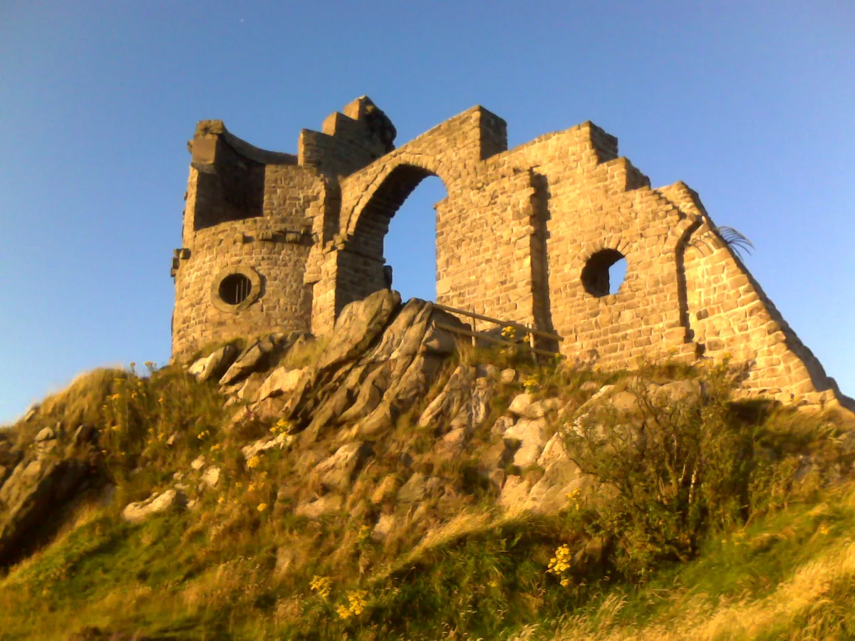
Mow Cop Castle
Mow Cop Castle — folly on the Cheshire and Staffordshire border, England, UK.
 📷 3
📷 3 📷 3
📷 3Castles · North West England
Ullerwood Castle
Ullerwood Castle — castle in Greater Manchester, England.
Frequently asked questions
- Where is Ullswater?
- Ullswater is in North-West England, United Kingdom (postcode CA11 0JL), in the parish of Matterdale.
- What is Ullswater?
- Ullswater is a glacial lake in Cumbria, England. It is part of the Lake District and is the second largest lake in the region by both area and volume, after Windermere. The lake is about 7 miles (11 k
- How do I get to Ullswater?
- Drivers can use postcode CA11 0JL.
- Is Ullswater a protected site?
- Yes — Ullswater is part of the River Eden and Tributaries SSSI Site of Special Scientific Interest.
- Does Ullswater charge admission?
- Ullswater typically charges admission. Check the official site for current ticket prices and opening hours.
- How do I get to Ullswater?
- Drivers can navigate to postcode CA11 0JL. It sits within the Westmorland and Lonsdale parliamentary constituency.