
Mountains & hills · South Wales
Twyn y Gaer
In or near Longtown.
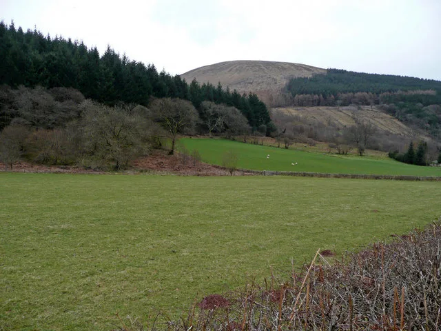
Twyn y Gaer — mountain in wales south. Elevation: 427 m.

James Ayres — CC BY-SA 2.0 via Wikimedia Commons licence

Plan your visit
- Typical visit
- 3 h–8 h
- Best time of year
- Late spring – early autumn (May–Oct)
- Nearest railway station
- Abergavenny · 8.4 km
- Dog-friendly
About
Twyn y Gaer is a mountain located in wales south. Elevation: 427 m. A named British peak recorded in OpenStreetMap. Peaks are typically named on Ordnance Survey 1:50k mapping.
Photo gallery
Protected designations
- Site of Special Scientific Interest: River Wye SSSI
Designations sourced from Natural England open data under OGL v3.
Place summary
Twyn y Gaer is a mountain located in the Crucorney parish of South Wales, postcode NP7. It is designated as a Site of Special Scientific Interest (SSSI) due to its ecological importance, particularly in relation to the River Wye. Visitors can expect a natural landscape that offers opportunities for walking and observing local wildlife. The area is characterised by its scenic views and diverse habitats.
AI-generated from the structured facts on this page (operator, designation, listing, era). Not a substitute for visiting.
- Coordinates
- 51.8917, -3.0276
- District
- Monmouthshire
- Parish
- Crucorney
- Postcode
- NP7 7PA
- Parliamentary constituency
- Monmouthshire
- Nearest railway station
- Abergavenny — 8.4 km
Sources
- osm: n10104461678 (ODbL)
- wikidata: Q106711323 (CC0)
Other places nearby

Twyn y gaer Hill Fort
Hill forts · 0.0 km
Twyn y Gaer
Mountains & hills · 0.0 km
Twyn y Gaer, Llanfihangel Crucorney
Vineyards · 0.0 km

Coed-y-Cerrig National Nature Reserve
Forests & woodlands · 0.9 km

Tabernacle Baptist Chapel
Chapels · 1.2 km

Pont Yspig
Historic bridges · 1.3 km

Cwmyoy
Villages · 1.4 km
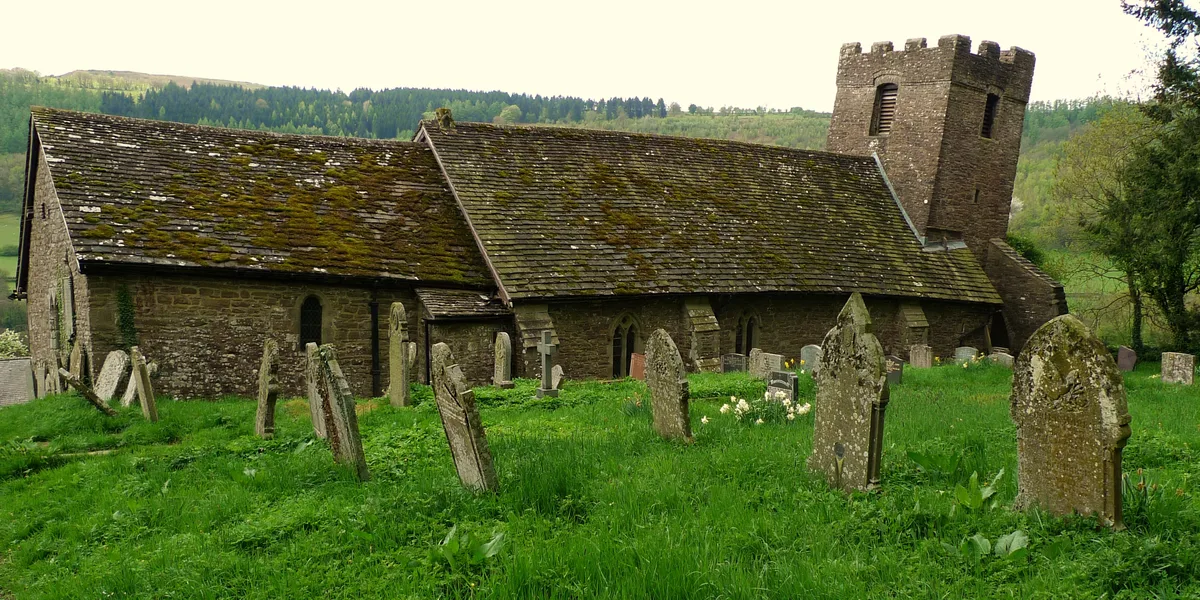
St Martin's Church
Historic churches · 1.5 km
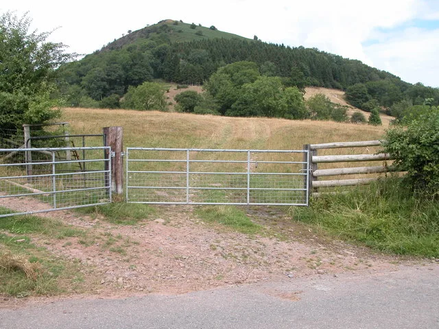
Bryn Arw
Mountains & hills · 1.5 km

Partrishow
Historic churches · 1.6 km

St Issui's Church
Historic churches · 1.6 km

Pont Rhys Powell
Historic bridges · 1.8 km
Nearby
📷 3Hill forts · South Wales
Twyn y gaer Hill Fort
Twyn y gaer Hill Fort — a hill fort in South Wales, United Kingdom.
📷 5📷 5Vineyards · South Wales
Twyn y Gaer, Llanfihangel Crucorney
Twyn y Gaer, Llanfihangel Crucorney — a UK vineyard in wales south, producing English or Welsh wine from cool-climate grape varieties.
📷 3Forests & woodlands · South Wales
Coed-y-Cerrig National Nature Reserve
Coed-y-Cerrig National Nature Reserve is a forest or woodland in the United Kingdom.
📷 3Chapels · South Wales
Tabernacle Baptist Chapel
Tabernacle Baptist Chapel — church in Monmouthshire, United Kingdom.
📷 5Historic bridges · South Wales
Pont Yspig
Pont Yspig — Grade II listed building-listed bridge in wales-south, United Kingdom.
Where to eat & stay near Twyn y Gaer
Places to stay
 📷 5
Campsites · South Wales
Pen-y-dre Caravan & Camp Site
Pen-y-dre Caravan & Camp Site — a campsite in wales south.
 📷 5
 📷 5
 📷 5📷 5
 📷 5
Places to eat & drink
 📷 5
Historic pubs · South Wales
Skirrid Mountain Inn
Skirrid Mountain Inn — Historic pub — listed building or notable heritage status.
 📷 5
Historic pubs · South Wales
Cornewall Arms
Cornewall Arms in Wales South, United Kingdom.
 📷 5
Restaurants · South Wales
The Walnut Tree
The Walnut Tree — a restaurant in wales south.
 📷 7
 📷 4
 📷 5
Historic pubs · South Wales
White Hart
White Hart — Historic pub — listed building or notable heritage status.
More mountains in this region
 Flagship📷 3
Mountains & hills · South Wales
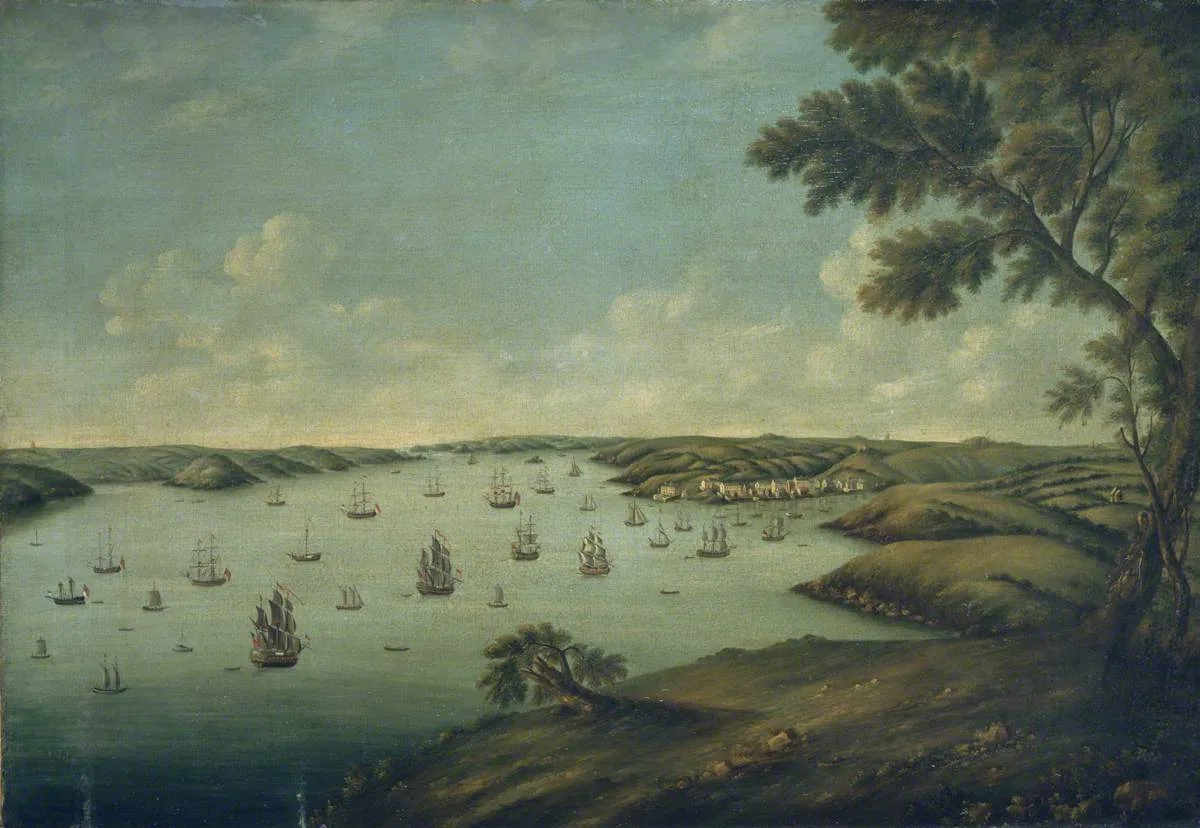
Milford Haven Waterway
Milford Haven Waterway — ria, or flooded valley, in Pembrokeshire, south-west Wales, UK.
 📷 5
Mountains & hills · South Wales
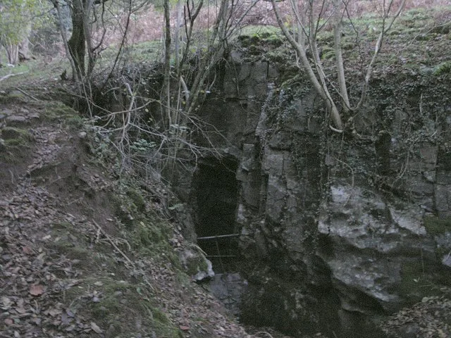
Ogof Ffynnon Ddu
Ogof Ffynnon Ddu — cave in the Upper Swansea Valley in South Wales.
 📷 3
 📷 3
Frequently asked questions
- Where is Twyn y Gaer?
- Twyn y Gaer is in South Wales, United Kingdom (postcode NP7 7PA), in the parish of Crucorney.
- What is Twyn y Gaer?
- Twyn y Gaer — mountain in wales south. Elevation: 427 m.
- How do I get to Twyn y Gaer?
- The nearest railway station is Abergavenny, about 8.4 km away. The nearest town is Longtown. Drivers can use postcode NP7 7PA.
- Is Twyn y Gaer a protected site?
- Yes — Twyn y Gaer is part of the River Wye SSSI Site of Special Scientific Interest.
- How do I get to Twyn y Gaer?
- Drivers can navigate to postcode NP7 7PA. It sits within the Monmouthshire parliamentary constituency.