Mountains & hills · South East England
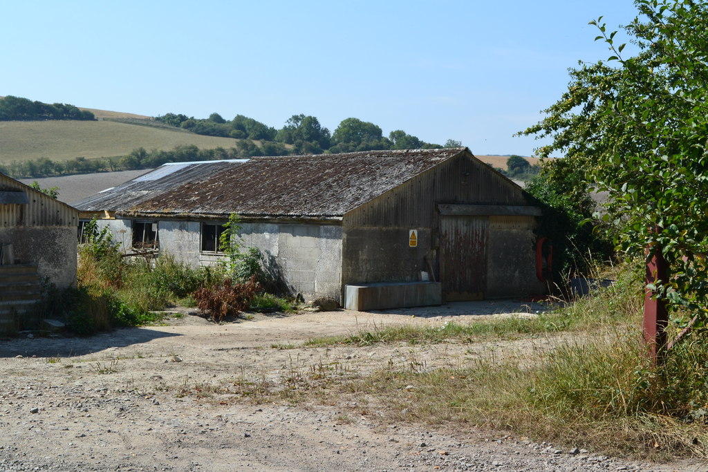
Trow Down
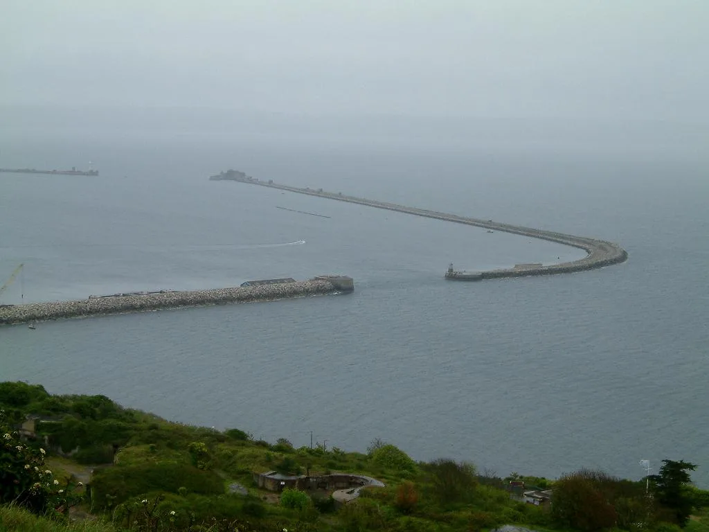
Trow Down — mountain in england south east. Elevation: 243 m.

Derek Harper — CC BY-SA 2.0 via Wikimedia Commons licence
Plan your visit
- Typical visit
- 3 h–8 h
- Best time of year
- Late spring – early autumn (May–Oct)
About
Trow Down is a mountain located in england south east. Elevation: 243 m. A named British peak recorded in OpenStreetMap. Peaks are typically named on Ordnance Survey 1:50k mapping.
Photo gallery
Place summary
Trow Down is a mountain located in South-East England. It offers a variety of walking trails suitable for different skill levels, providing opportunities for both casual walkers and more experienced hikers. The area is characterised by its natural beauty and panoramic views, making it a notable destination for outdoor enthusiasts.
AI-generated from the structured facts on this page (operator, designation, listing, era). Not a substitute for visiting.
- Coordinates
- 50.9948, -2.0421
Sources
- osm: n9967750917 (ODbL)
Other places nearby
Loading nearby places…
Nearby
📷 5Mountains & hills · South East England
Trow Down
Trow Down — a hill or mountain in england south east.
 📷 5
📷 5Mountains & hills · South East England
South Down
South Down — mountain in england south east. Elevation: 229 m.
 📷 5
📷 5Mountains & hills · South East England
Windmill Hill
Windmill Hill — mountain in england south east. Elevation: 170 m.
 📷 5
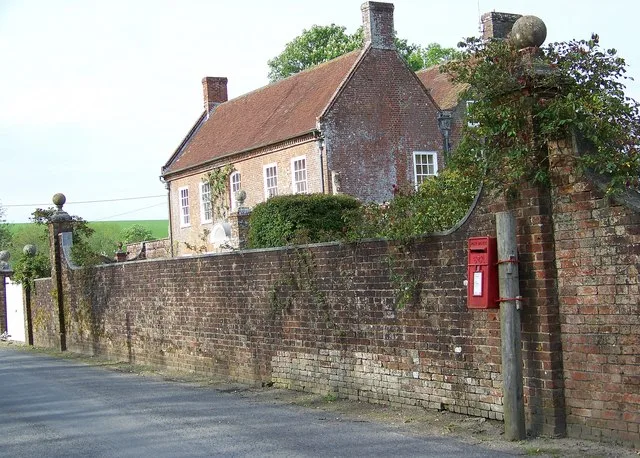
📷 5Stately homes · South East England
Alvediston Manor
Alvediston Manor — manor house in Alvediston, Wiltshire, England, UK.
 📷 5
📷 5Mountains & hills · South East England
Castle Hill
Castle Hill — mountain in england south east. Elevation: 165 m.
 📷 5
📷 5Mountains & hills · South East England
Winkelbury Hill
Winkelbury Hill — mountain in england south east. Elevation: 250 m.
Where to eat & stay near Trow Down
Places to stay
 📷 5
📷 5Caravan parks · South East England
Church Farm Campsite
Church Farm Campsite — a caravan park in england south east.
 📷 5
📷 5B&Bs · South East England
The Royal Oak
The Royal Oak — a bed-and-breakfast in england south east.
 📷 5
📷 5Campsites · South East England
Melbury Vale Farm
Melbury Vale Farm — a campsite in england south east.
 📷 5
📷 5Hotels · South East England
Royal Chase Hotel
Royal Chase Hotel — a hotel in england south east.
 📷 5
📷 5Caravan parks · South East England
Cherwell Leys Farm
Cherwell Leys Farm — a caravan park in england south east.
 📷 5
📷 5Caravan parks · South East England
Lower Farm Caravan Site
Lower Farm Caravan Site — a caravan park in england south east.
Places to eat & drink
 📷 5
📷 5Historic pubs · South West England
Talbot Inn
Talbot Inn in England South West, United Kingdom.
 📷 5
📷 5Historic pubs · South West England
The Benett Arms
The Benett Arms in England South West, United Kingdom.
 📷 5
📷 5Historic pubs · South West England
The Mitre Inn
The Mitre Inn in England South West, United Kingdom.
 📷 5
📷 5Historic pubs · South West England
The Ship Inn
The Ship Inn in England South West, United Kingdom.
 📷 5
📷 5Historic pubs · South West England
Fox And Hounds Public House
Fox And Hounds Public House in England South West, United Kingdom.
 📷 5
📷 5Historic pubs · South West England
The Talbot at Iwerne Minster
The Talbot at Iwerne Minster in England South West, United Kingdom.
More mountains in this region
 📷 5
📷 5Mountains & hills · South East England
Alum Bay
Alum Bay is a mountain or hill in the United Kingdom.
 📷 5
📷 5Mountains & hills · South East England
Arish Mell
Arish Mell — bay in Dorset, England.
 📷 5
📷 5Mountains & hills · South East England
Balaclava Bay
Balaclava Bay — bay in Dorset, England.
 📷 5
📷 5Mountains & hills · South East England
Balch Cave
Balch Cave — Cave in Somerset, England.
Frequently asked questions
- Where is Trow Down?
- Trow Down is in South-East England, United Kingdom.
- What is Trow Down?
- Trow Down — mountain in england south east. Elevation: 243 m.
- How do I get to Trow Down?
- Its coordinates are 50.9948°, -2.0421°.