
Hill forts · Central Scotland
Trimontium
Trimontium — archaeological site in Scottish Borders, Scotland, UK.

Wikimedia Commons contributors — see linked file page for photographer and licence licence

Plan your visit
- Typical visit
- 1 h–2 h
- Nearest railway station
- Tweedbank · 4.6 km
- Free entry
- Dog-friendly
About
Trimontium is a hill fort in the United Kingdom. Wikidata describes it as: "archaeological site in Scottish Borders, Scotland, UK". Coordinates: 55.6010°, -2.6870°.
Photo gallery
From the Wikipedia article
Trimontium was a Roman fort complex located at Newstead, near Melrose, in the Scottish Borders, beneath the three Eildon Hills which almost certainly gave it its name (Latin: trium montium, three hills). It was occupied intermittently from about 79 to 184 AD and was the largest of the "outpost" forts after the construction of Hadrian's Wall in the 120s AD. It was located 60 mi (100 km) north of the wall on the extension of Dere Street the main Roman route to the north, initially in seemingly "hostile" territory. Trimontium was about three times larger than any fort on Hadrian's Wall and by 180 became the most northerly settlement of the whole Roman Empire. Trimontium is also considered of international importance as the site of one of the largest caches of Roman military objects in Britain, found in 117 pits. It was identified by Roman geographer Ptolemy in his Geography. The fort sits on the banks of the River Tweed, with the Eildon Hills and the Iron Age hillfort atop Eildon North, a visible reminder of both the local population and imposing landscape of the Scottish Borders. The location benefitted from the rivers Tweed and Leader providing routes for the movement of goods and people and from the Roman road that became Dere Street passing alongside the fort.
Excerpt from Wikipedia under CC BY-SA 4.0. See the source article linked in Sources below.
Background
History
at Trimontium, with the modern Leaderfoot Viaduct behind]] It took the Romans almost four decades, from the invasion of 43 AD and subsequent conquest of southern & eastern Britain, followed by expansion into northern England and Wales, to close in on southern Scotland He built a network of military roads and forts, including Trimontium, to secure the Roman occupation. Existing forts were strengthened and new ones planted in northeastern Scotland along the Highland Line, consolidating control of the glens that provided access to and from the Scottish Highlands. The line of military communication and supply across southeastern Scotland and northeastern England was Dere Street (on which…
Architecture
The earliest modern reference to the archaeological significance of Trimontium stems from finds uncovered during mid-Victorian railway cutting works as part of the Waverley Line construction in 1846. As land to the east of the village of Newstead was worked, finds from pits full of Roman artefacts were uncovered. , Edinburgh]] Excavations by James Curle between February 1905 and September 1910 began the first exploration of the site, making many findings. horse fittings including bronze saddleplates and studded leather chamfrons, numerous artefacts associated with trade and manufacture, building and construction, and daily life on the Roman frontier. In 1911 Curle published his…
Description
near the Newstead Helmet]] The fort was constructed in multiple phases. Dr Simon Clarke of Bradford University has produced a logical sequence of building and destruction for the fort and its annexes. This was managed by combining evidence from the first excavations of James Curle and Sir Ian Richmond with aerial photographs and modern search and rescue excavations of Bradford University (1987–1997) Phase 1 (c.79-87 AD): The earliest occupation of the site identified by aerial photographs since the 1940s have revealed at least three and possibly as many as five camps in this area. The enormous "Great Camp" identified by Curle was on the highest point of the ridge at the centre of the whole…
Sourced from Wikipedia under CC BY-SA 4.0.
- Coordinates
- 55.6010, -2.6870
- District
- Scottish Borders
- Postcode
- TD6 9DB
- Parliamentary constituency
- Berwickshire, Roxburgh and Selkirk
- Nearest railway station
- Tweedbank — 4.6 km
Sources
- wikidata: Q3539246 (CC0)
- wikipedia: Trimontium (Newstead) (CC BY-SA 4.0)
- commons: Trimontium.jpg (CC BY-SA 4.0)
Other places nearby
Loading nearby places…
Nearby
 📷 3
📷 3Memorials & monuments · Central Scotland
Trimontium Monument
Trimontium Monument — a memorial in scotland-central, United Kingdom.
📷 4Museums · North East England
Newstead Helmet
Newstead Helmet in England North East, United Kingdom.
 📷 3
📷 3Archaeological sites · Central Scotland
Trimontium Roman Amphitheatre
Trimontium Roman Amphitheatre — a archaeological in scotland-central, United Kingdom.
 📷 5
📷 5Open-air theatres · Central Scotland
Newstead, amphitheatre
Newstead, amphitheatre — a open-air theatre in scotland central.
 📷 4
📷 4Other places · North East England
Newstead
Newstead in England North East, United Kingdom.
 📷 3
📷 3Viewpoints · Central Scotland
Trimontium viewing platform
Trimontium viewing platform is a viewpoint in the United Kingdom.
More places in this region
 Flagship📷 4
Hill forts · Central Scotland
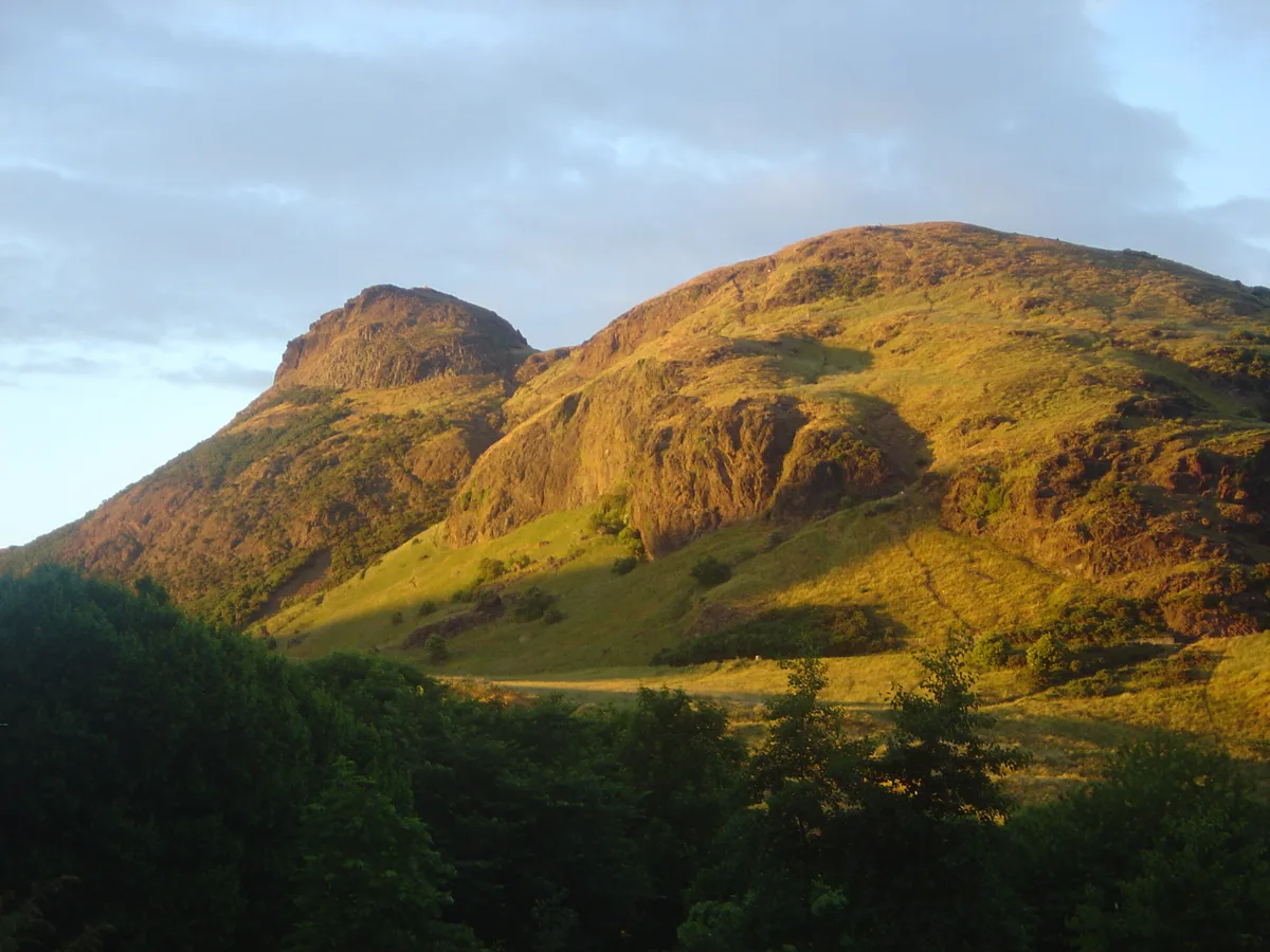
Holyrood Park
Holyrood Park — park in Edinburgh, Scotland, UK.
 📷 3
📷 3Hill forts · Central Scotland
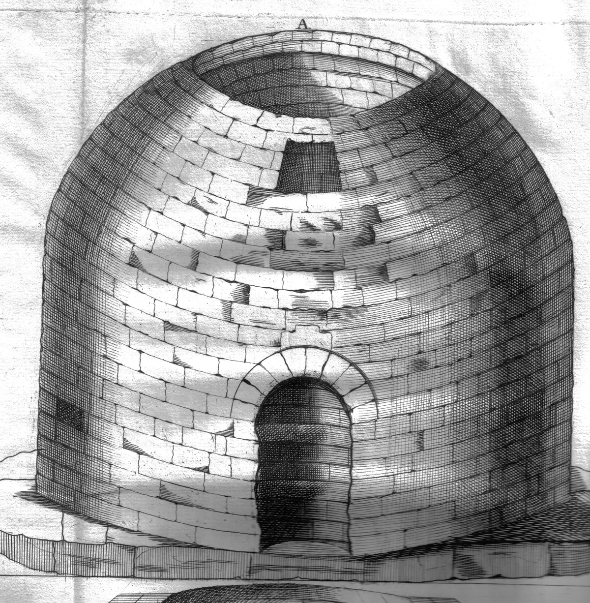
Arthur's O'on temple
Arthur's O'on temple — probable Roman temple near Falkirk, Scotland, destroyed in 1743.
 📷 5
📷 5Hill forts · Central Scotland
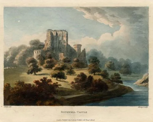
Bothwell Castle
Bothwell Castle — castle in South Lanarkshire, Scotland, UK.
 📷 3
📷 3Hill forts · Central Scotland
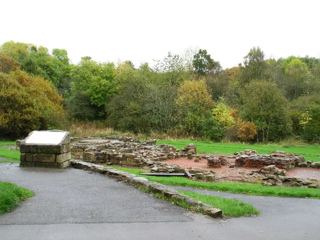
Bothwellhaugh Roman Fort
Bothwellhaugh Roman Fort — architectural structure in North Lanarkshire, Scotland, UK.
Frequently asked questions
- Where is Trimontium?
- Trimontium is in central Scotland, United Kingdom (postcode TD6 9DB).
- What is Trimontium?
- Trimontium — archaeological site in Scottish Borders, Scotland, UK.
- How do I get to Trimontium?
- The nearest railway station is Tweedbank, about 4.6 km away. Drivers can use postcode TD6 9DB.
- Is Trimontium free to visit?
- Yes, Trimontium is free to enter.
- How do I get to Trimontium?
- The nearest railway station is Tweedbank, about 4.6 km away. Drivers can navigate to postcode TD6 9DB.