
Memorials & monuments · North East England
Tidal limit marker stone 1783
In or near Ryton.
Tidal limit marker stone 1783 — a memorial in scotland-lowlands, United Kingdom.

Andrew Curtis — CC BY-SA 2.0 via Wikimedia Commons licence

Plan your visit
- Typical visit
- 15 min–45 min
- Nearest railway station
- Wylam · 2.4 km
- Free entry
- Dog-friendly
About
Tidal limit marker stone 1783 is a memorial located in scotland-lowlands, United Kingdom. Sourced from OpenStreetMap (ODbL licence); see local listings for visitor information, opening hours and admission details.
Photo gallery
Place summary
The Tidal Limit Marker Stone, located in the Scottish Lowlands, is a memorial that dates back to 1783. It signifies the furthest point of tidal influence in the River Tweed, marking an important geographical feature in the area.
AI-generated from the structured facts on this page (operator, designation, listing, era). Not a substitute for visiting.
- Coordinates
- 54.9835, -1.7792
- District
- Northumberland
- Parish
- Heddon-on-the-Wall
- Postcode
- NE15 0EQ
- Parliamentary constituency
- Hexham
- Nearest railway station
- Wylam — 2.4 km
Sources
- osm: node/4083101950 (ODbL)
Other places nearby

Heddon on the Wall railway station
Heritage railway stations · 0.2 km

Old ferry landing
Historic houses · 0.9 km

Clara Vale War Memorial
Memorials & monuments · 1.0 km
Clara Vale
Other places · 1.0 km

Motte, 50m north of Holycross Church, Ryton
Literary houses · 1.0 km

Motte north of Holycross Church
Archaeological sites · 1.1 km

Church of Holy Cross, Ryton
Memorials & monuments · 1.1 km
Ryton War Memorial
Memorials & monuments · 1.2 km
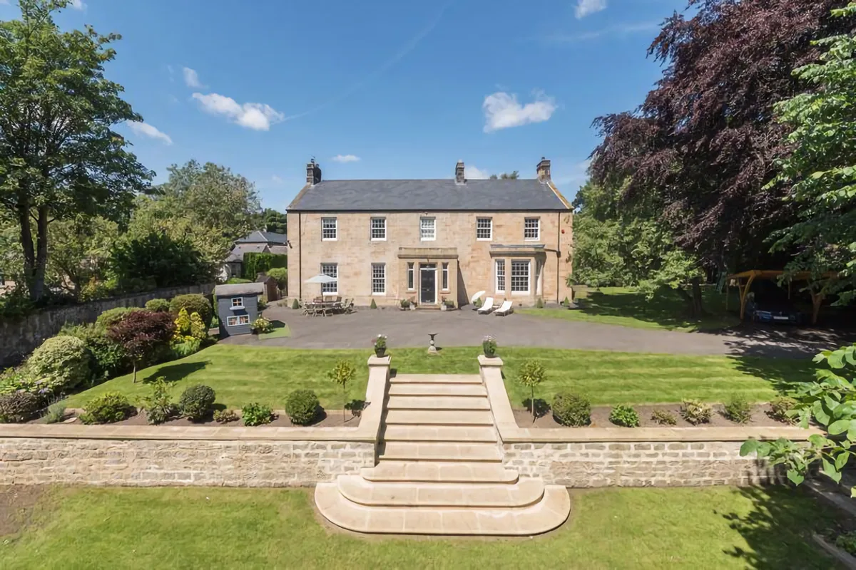
Throckley Hall
Stately homes · 1.2 km

Ryton village cross
Memorials & monuments · 1.2 km

Ryton railway station
Heritage railway stations · 1.3 km

Shingle Beach
Beaches · 1.3 km
Nearby
📷 4Heritage railway stations · North East England
Heddon on the Wall railway station
Heddon on the Wall railway station in England North East, United Kingdom.
📷 3Historic houses · North East England
Old ferry landing
Old ferry landing — a historic house in scotland-lowlands, United Kingdom.
📷 3Memorials & monuments · North East England
Clara Vale War Memorial
Clara Vale War Memorial — a memorial in scotland-lowlands, United Kingdom.
📷 5📷 5Literary houses · North East England
Motte, 50m north of Holycross Church, Ryton
Motte, 50m north of Holycross Church, Ryton — a literary house museum in scotland lowlands.
📷 3Archaeological sites · North East England
Motte north of Holycross Church
Motte north of Holycross Church — a archaeological in scotland-lowlands, United Kingdom.
Where to eat & stay near Tidal limit marker stone 1783
Places to stay
 📷 5
📷 5 📷 5
📷 5 📷 5
📷 5Campsites · North East England
High Hermitage Caravan Park
High Hermitage Caravan Park — a campsite in scotland lowlands.
📷 5Caravan parks · North East England
High Hermitage Caravan Park
High Hermitage Caravan Park — a caravan park in scotland lowlands.
 📷 5
📷 5 📷 5
📷 5Hotels · North East England
DoubleTree by Hilton Newcastle International Airport
DoubleTree by Hilton Newcastle International Airport — a hotel in scotland lowlands. 4-star. Brand: DoubleTree.
Places to eat & drink
 📷 5
📷 5 📷 5
📷 5Historic pubs · North East England
The Crown And Anchor
The Crown And Anchor in Scotland Lowlands, United Kingdom.
 📷 4
📷 4Historic pubs · North East England
Winlaton Mill
Winlaton Mill in England North East, United Kingdom.
 📷 5
📷 5 📷 5
📷 5Historic pubs · North East England
The Seven Stars Public House
The Seven Stars Public House in Scotland Lowlands, United Kingdom.
 📷 5
📷 5More memorials in this region
 📷 3
📷 3Memorials & monuments · North East England
Hurworth and Neasham War Memorial
Hurworth and Neasham War Memorial — Grade II listed building-listed memorial in england-yorkshire, United Kingdom.
 📷 3
📷 3Memorials & monuments · North East England
Fryingpan Stone
Fryingpan Stone — a memorial in england-yorkshire, United Kingdom.
 📷 3
📷 3Memorials & monuments · North East England
Yoak Stone
Yoak Stone — a memorial in england-yorkshire, United Kingdom.
 📷 3
📷 3Memorials & monuments · North East England
Pump Cottage 1680
Pump Cottage 1680 — a memorial in england-yorkshire, United Kingdom.
Frequently asked questions
- Where is Tidal limit marker stone 1783?
- Tidal limit marker stone 1783 is in the Scottish Lowlands, United Kingdom (postcode NE15 0EQ), in the parish of Heddon-on-the-Wall.
- What is Tidal limit marker stone 1783?
- Tidal limit marker stone 1783 — a memorial in scotland-lowlands, United Kingdom.
- How do I get to Tidal limit marker stone 1783?
- The nearest railway station is Wylam, about 2.4 km away. Drivers can use postcode NE15 0EQ.
- Is Tidal limit marker stone 1783 free to visit?
- Yes, Tidal limit marker stone 1783 is free to enter.
- How do I get to Tidal limit marker stone 1783?
- The nearest railway station is Wylam, about 2.4 km away. Drivers can navigate to postcode NE15 0EQ.