
Mountains & hills · Scottish Islands
Thurso Bay
In or near Halkirk.
Thurso Bay — bay in Highland, Scotland, UK.

Wikimedia Commons contributors — see linked file page for photographer and licence licence

Plan your visit
- Typical visit
- 3 h–8 h
- Best time of year
- Late spring – early autumn (May–Oct)
- Nearest railway station
- Thurso · 3.1 km
- Free entry
- Dog-friendly
Getting there & planning your visit
To visit Thurso Bay, the nearest railway station is Thurso, located 3.1 km away. Entry is free, and the postcode for sat-nav is KW14 7UW.
About
Thurso Bay is a named summit in the United Kingdom. Wikidata describes it as: "bay in Highland, Scotland, UK". Coordinates: 58.6167°, -3.5167°.
Photo gallery
From the Wikipedia article
Thurso Bay, known also as Scrabster Bay, is a bay of Atlantic water between the points of Clairdon Head and Holborn Head on the north coast of Caithness, Scotland. The bay receives fresh water from the River Thurso and the Wolf Burn. The river mouth is at the most southerly reach of the bay and at least two kilometres from the more northerly and more open waters of the Atlantic. The Atlantic here has Orkney to the northeast and the Pentland Firth and Dunnet Bay to the east. The points of Clairdon Head and Holborn Head are separated by four or five kilometres of water, which is also the bay's widest extent. Within the bay, about three kilometres west/northwest of the river mouth, Scrabster harbour has deep water in the shelter of Holborn Head and berths a ferry which links mainland Scotland with Stromness in Orkney. Holborn Head Lighthouse is about one kilometre south of the headland's point and close to Scrabster Harbour. The river mouth serves now as a small harbour and was a busy commercial port during the 19th century. Tidal water reaches inland about one kilometre beyond the river mouth and about twice the distance usually indicated on Ordnance Survey maps. Sandy beach and the burgh of Thurso front the bay west of the river mouth. Wolf Burn enters the bay at Burnside, midway between the river mouth and Scrabster Harbour.
Excerpt from Wikipedia under CC BY-SA 4.0. See the source article linked in Sources below.
- Coordinates
- 58.6167, -3.5167
- District
- Highland
- Postcode
- KW14 7UW
- Parliamentary constituency
- Caithness, Sutherland and Easter Ross
- Nearest railway station
- Thurso — 3.1 km
Sources
- wikidata: Q7799428 (CC0)
- wikipedia: Thurso Bay (CC BY-SA 4.0)
- commons: Thurso Bay - geograph.org.uk - 3469980.jpg (CC BY-SA 4.0)
Other places nearby

Holburn Head
Vineyards · 1.3 km
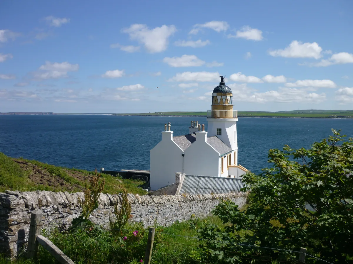
Holburn Head Lighthouse
Lighthouses · 1.3 km

Scrabster Road
Marinas · 1.6 km

Lady Janet's Seat Tower
Follies · 1.7 km

Clett
Islands · 1.7 km

Scrabster Port
Marinas · 1.7 km
Scrabster
Villages · 1.8 km
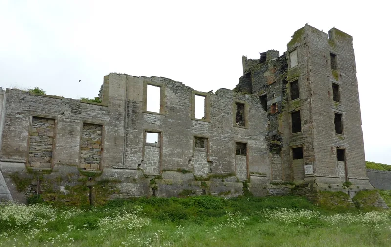
Thurso Castle
Castles · 2.0 km

Thurso Caravan Park
Campsites · 2.2 km

Scrabster Castle (site of)
Castles · 2.2 km
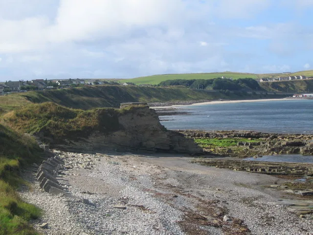
Scrabster Castle
Castles · 2.2 km

Victoria Walk
Viewpoints · 2.2 km
Nearby
📷 5Vineyards · Scottish Islands
Holburn Head
Holburn Head — a UK vineyard in scotland islands, producing English or Welsh wine from cool-climate grape varieties.
📷 3Lighthouses · Scottish Islands
Holburn Head Lighthouse
Holburn Head Lighthouse — lighthouse in Highland, Scotland, UK.
📷 5📷 3Follies · Scottish Islands
Lady Janet's Seat Tower
Lady Janet's Seat Tower — Folly or eyecatcher.
📷 3📷 5Where to eat & stay near Thurso Bay
Places to stay
📷 5Campsites · Scottish Islands
Thurso Caravan Park
Thurso Caravan Park — a campsite in scotland islands.
 📷 5
📷 5 📷 7
📷 7Hotels · Scottish Islands
Muthu Royal Hotel
Muthu Royal Hotel — a hotel in scotland islands.
 📷 5
📷 5 📷 5
📷 5Caravan parks · Scottish Islands
Murkle Caravan Park
Murkle Caravan Park — a caravan park in scotland islands.
 📷 5
📷 5Hotels · Scottish Islands
Forss House
Forss House — a hotel in scotland islands.
More mountains in this region
 📷 3
📷 3Mountains & hills · Scottish Islands
Acairseid Mhor
Acairseid Mhor — bay in Outer Hebrides, Scotland, UK.
 📷 3
📷 3Mountains & hills · Scottish Islands
Ainshval
Ainshval — Named summit at 781 m.
 📷 3
📷 3 📷 5
📷 5Mountains & hills · Scottish Islands
An Cliseam
An Cliseam — Named summit at 799 m.
Frequently asked questions
- Where is Thurso Bay?
- Thurso Bay is in the Scottish Islands, United Kingdom (postcode KW14 7UW).
- What is Thurso Bay?
- Thurso Bay — bay in Highland, Scotland, UK.
- How do I get to Thurso Bay?
- The nearest railway station is Thurso, about 3.1 km away. The nearest town is Halkirk. Drivers can use postcode KW14 7UW.
- Is Thurso Bay free to visit?
- Yes, Thurso Bay is free to enter.
- How do I get to Thurso Bay?
- The nearest railway station is Thurso, about 3.1 km away. Drivers can navigate to postcode KW14 7UW.