Mines & mining heritage · North East England
Throckley
In or near Walbottle.
Throckley in England North East, United Kingdom.

Les Hull — CC BY-SA 2.0 via Wikimedia Commons licence
Plan your visit
- Typical visit
- 1 h–2 h
- Nearest railway station
- Blaydon · 4.2 km
Getting there & planning your visit
To visit Throckley mine, the nearest railway station is Blaydon, which is 4.2 km away. The postcode for the location is NE15 9EN. There is no information provided regarding entry fees or accessibility.
About
Throckley is a place of interest in England North East, United Kingdom — drawn from open-data sources for visitor reference. See the linked Wikipedia article for the full description.
Photo gallery
From the Wikipedia article
Throckley is a village in the Newcastle upon Tyne district, in the county of Tyne and Wear, England, approximately 7 miles (11 km) west of Newcastle city centre. Hadrian's Wall passed through the village, its course traced by the village's main road, Hexham Road. Throckley lies within the historic county of Northumberland. Throckley was a colliery village, being adjacent to Throckley Colliery, but with the decline in the coal-mining industry the village has become more urbanised. The English industrialist, philanthropist and historical Lord Mayor of Newcastle Upon Tyne, Sir William Haswell Stephenson was born in Throckley and lived in the manor house Throckley Hall with his wife and two children, located in the South West of the village. Stephenson owned much of the land surrounding Throckley and the coal pits. He was Mayor of Newcastle upon Tyne in 1875, 1884, and 1894 and Lord Mayor in 1902, 1909, 1910, and 1911. Other notable residents include William Brown, a consulting engineer in the 18th century, and part owner of Throckley Colliery, who was responsible for the construction of many colliery waggonways throughout the North East of England. As a youngster, George Stephenson worked on Dewley farm which lies to the north of the A69. Throckley neighbours the villages of Newburn, Walbottle, Blucher, and across the border in Northumberland, Heddon-on-the-Wall. The village expanded with a number of new housing estates having been developed since the mid-2000s. Amenities include a supermarket, car parts shop, a number of hair salons, social clubs and a working men's club, three care homes for the elderly, two churches, a solarium, funeral parlour, an optometrist, medical surgery, a range of newsagents, a chemist, a Masonic hall, and a primary school (Throckley Primary School). Throckley's economy is also boosted by the presence of an industrial estate, home to Throckley Brickworks and Warmseal Windows.
Excerpt from Wikipedia under CC BY-SA 4.0. See the source article linked in Sources below.
- Coordinates
- 54.9960, -1.7540
- District
- Newcastle upon Tyne
- Parish
- Newcastle upon Tyne, unparished area
- Postcode
- NE15 9EN
- Parliamentary constituency
- Hexham
- Nearest railway station
- Blaydon — 4.2 km
Sources
Other places nearby
Throckley War Memorial
Memorials & monuments · 0.0 km

Former Valve House
Historic houses · 0.6 km

Milecastle 10
Historic houses · 0.6 km
Milecastle 10 (Walbottle Dene)
Archaeological sites · 0.6 km

Throckley Hall Commemorative Plaque
Memorials & monuments · 0.7 km

Bank Top
Other places · 0.8 km

Walbottle Campus
Other places · 0.8 km
Milecastle 11
Archaeological sites · 0.8 km
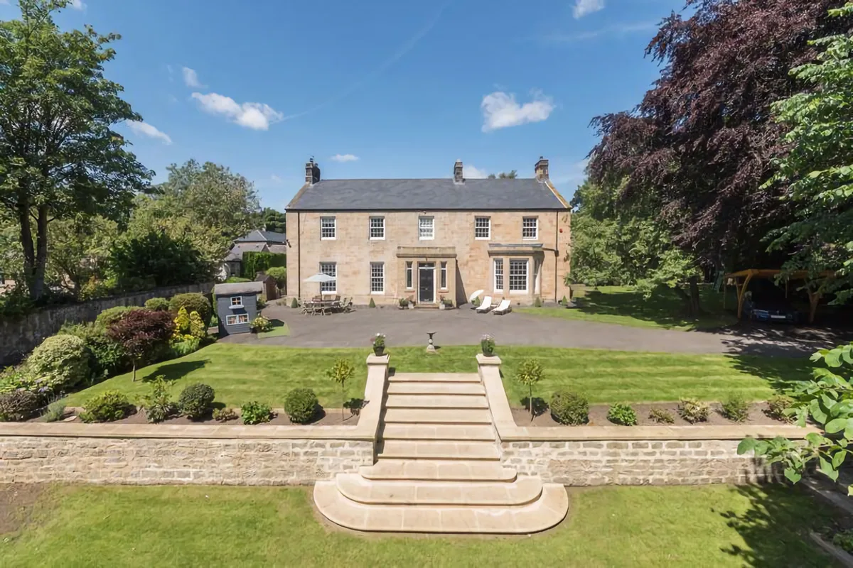
Throckley Hall
Stately homes · 0.9 km

TANDO
Campsites · 1.1 km
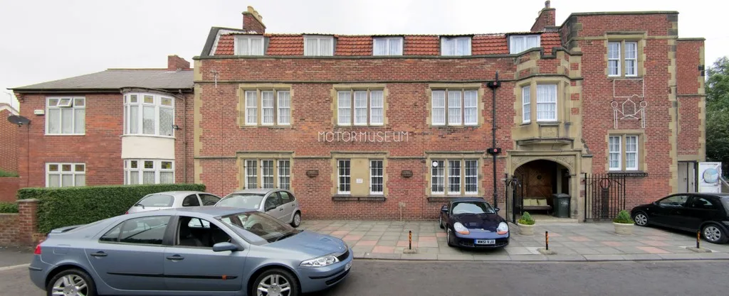
Newburn Hall Motor Museum
Museums · 1.3 km

Newburn Ford 1640
Forts · 1.4 km
Nearby
📷 3Memorials & monuments · North East England
Throckley War Memorial
Throckley War Memorial — Grade II listed building-listed memorial in scotland-lowlands, United Kingdom.
📷 3Historic houses · North East England
Former Valve House
Former Valve House — house in Newcastle upon Tyne, Tyne and Wear, England, UK.
📷 3Historic houses · North East England
Milecastle 10
Milecastle 10 in England North East, United Kingdom.
📷 3Archaeological sites · North East England
Milecastle 10 (Walbottle Dene)
Milecastle 10 (Walbottle Dene) — a archaeological in scotland-lowlands, United Kingdom.
📷 3Memorials & monuments · North East England
Throckley Hall Commemorative Plaque
Throckley Hall Commemorative Plaque — a memorial in scotland-lowlands, United Kingdom.
📷 4Where to eat & stay near Throckley
Places to stay
📷 5 📷 5
📷 5 📷 5
📷 5Hotels · North East England
DoubleTree by Hilton Newcastle International Airport
DoubleTree by Hilton Newcastle International Airport — a hotel in scotland lowlands. 4-star. Brand: DoubleTree.
 📷 5
📷 5Caravan parks · North East England
High Hermitage Caravan Park
High Hermitage Caravan Park — a caravan park in scotland lowlands.
📷 5Campsites · North East England
High Hermitage Caravan Park
High Hermitage Caravan Park — a campsite in scotland lowlands.
 📷 5
📷 5Places to eat & drink
 📷 5
📷 5 📷 5
📷 5 📷 5
📷 5Historic pubs · North East England
The Seven Stars Public House
The Seven Stars Public House in Scotland Lowlands, United Kingdom.
 📷 4
📷 4Historic pubs · North East England
Winlaton Mill
Winlaton Mill in England North East, United Kingdom.
 📷 5
📷 5Historic pubs · North East England
The Crown And Anchor
The Crown And Anchor in Scotland Lowlands, United Kingdom.
 📷 3
📷 3Historic pubs · North East England
Red House Farm
Red House Farm in England North East, United Kingdom.
More places in this region
 📷 5
📷 5Mines & mining heritage · North East England
Grinkle Mine
Grinkle Mine — former ironstone mine in North Yorkshire, England.
 📷 3
📷 3Mines & mining heritage · North East England
North Skelton Mine
North Skelton Mine — disused ironstone mine in Cleveland, England.
 📷 4
📷 4Mines & mining heritage · North East England
Carrshield
Carrshield in England North East, United Kingdom.
 📷 4
📷 4Mines & mining heritage · North East England
Old Powder Magazine
Old Powder Magazine in England North East, United Kingdom.
Frequently asked questions
- Where is Throckley?
- Throckley is in North-East England, United Kingdom (postcode NE15 9EN), in the parish of Newcastle upon Tyne, unparished area.
- What is Throckley?
- Throckley in England North East, United Kingdom.
- How do I get to Throckley?
- The nearest railway station is Blaydon, about 4.2 km away. Drivers can use postcode NE15 9EN.
- How do I get to Throckley?
- The nearest railway station is Blaydon, about 4.2 km away. Drivers can navigate to postcode NE15 9EN.