
Wildlife reserves · East of England
Thompson Water, Carr and Common
In or near Thompson.
Thompson Water, Carr and Common — Site of Special Scientific Interest in Norfolk, England, UK.

Wikimedia Commons licence
Plan your visit
- Typical visit
- 2 h–4 h
- Best time of year
- Autumn & winter (migration & wildfowl)
- Nearest railway station
- Harling Road · 9.3 km
- Free entry
- Dog-friendly
Getting there & planning your visit
To visit Thompson Water, Carr and Common, the nearest railway station is Harling Road, located 9.3 km away. The postcode for sat-nav is IP24 1QA, and entry to the reserve is free.
About
Thompson Water, Carr and Common is a wildlife reserve in the United Kingdom. Heritage designation: Site of Special Scientific Interest. Wikidata describes it as: "Site of Special Scientific Interest in Norfolk, England, UK". Coordinates: 52.5184°, 0.8211°.
Photo gallery
Protected designations
- Site of Special Scientific Interest: Stanford Training Area SSSI
- Site of Special Scientific Interest: Breckland Forest SSSI
- Site of Special Scientific Interest: Thompson Water, Carr and Common SSSI
- Site of Special Scientific Interest: Breckland Farmland SSSI
Designations sourced from Natural England open data under OGL v3.
From the Wikipedia article
Thompson Water, Carr and Common is a 154.7-hectare (382-acre) biological Site of Special Scientific Interest north of Thetford in Norfolk, England. Most of it is managed by the Norfolk Wildlife Trust as Thompson Common. It is a Nature Conservation Review site, Grade I, and part of the Norfolk Valley Fens Special Area of Conservation. It is crossed by the Great Eastern Pingo Trail Local Nature Reserve. This grassland site, located in the valley of a tributary of the River Wissey, contains a number of ponds left by melted pingos: damp, water-filled depressions formed by the melting of ice within these geological formations at the end of the last glaciation. It also features a lake called Thompson Water, which, along with its surrounding reed swamp, is important for breeding birds. The site is open to the public.
Excerpt from Wikipedia under CC BY-SA 4.0. See the source article linked in Sources below.
- Coordinates
- 52.5184, 0.8211
- County
- Norfolk
- District
- Breckland
- Parish
- Thompson
- Postcode
- IP24 1QA
- Parliamentary constituency
- Mid Norfolk
- Nearest railway station
- Harling Road — 9.3 km
Sources
- wikidata: Q7795812 (CC0)
- wikipedia: Thompson Water, Carr and Common (CC BY-SA 4.0)
Other places nearby

Peddars Way Songline Stone
Heritage railway stations · 0.6 km

Tottington
Villages · 1.4 km

Thompson Village Sign
Public art & sculpture · 1.8 km
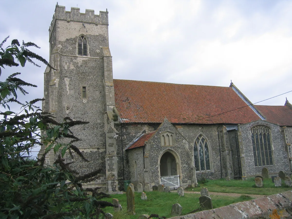
Thompson
Towns & cities · 1.9 km

Crossing Keeper's Cottage
Historic houses · 2.0 km

Tottington War Memorial, Norfolk
Memorials & monuments · 2.1 km

Galley Hill
Mountains & hills · 2.4 km

College Road
Historic bridges · 2.6 km

Merton Hall Brewery
Breweries · 2.9 km

Merton
Villages · 3.5 km

Puddledock Farm
Caravan parks · 3.6 km

Ruins of St Lawrence's Church
Historic churches · 3.8 km
Nearby
📷 3Heritage railway stations · East of England
Peddars Way Songline Stone
Peddars Way Songline Stone — Public artwork (sculpture) by Tom Perkins.
📷 5📷 3Public art & sculpture · East of England
Thompson Village Sign
Thompson Village Sign — a public art in East of England, United Kingdom.
Flagship📷 3Towns & cities · East of England
Thompson
Thompson — village and civil parish in Norfolk, England, UK.
📷 3Historic houses · East of England
Crossing Keeper's Cottage
Crossing Keeper's Cottage — a historic house in East of England, United Kingdom.
📷 3Memorials & monuments · East of England
Tottington War Memorial, Norfolk
Tottington War Memorial, Norfolk — Grade II listed building-listed memorial in england-east, United Kingdom.
Where to eat & stay near Thompson Water, Carr and Common
Places to stay
📷 5 📷 5
📷 5 📷 5
📷 5Campsites · East of England
Grove Farm Campsite
Grove Farm Campsite — a campsite in england east.
 📷 5
📷 5 📷 5
📷 5 📷 5
📷 5Places to eat & drink
 📷 5
📷 5Historic pubs · East of England
The Railway Public House
The Railway Public House in England East, United Kingdom.
 📷 5
📷 5Historic pubs · East of England
Old Mill Public House, Rudolph's Nite Spot And Old Mill Pizza House
Old Mill Public House, Rudolph's Nite Spot And Old Mill Pizza House in England East, United Kingdom.
 📷 5
📷 5Restaurants · East of England
Wong's Taste of China
Wong's Taste of China — a restaurant in england east.
 📷 5
📷 5Historic pubs · East of England
Griffin Hotel, Attleborough
Griffin Hotel, Attleborough in England East, United Kingdom.
 📷 5
📷 5Restaurants · East of England
Swaffham Kebab & Pizza House
Swaffham Kebab & Pizza House — a restaurant in england east.
 📷 5
📷 5Historic pubs · East of England
Green Dragon Public House
Green Dragon Public House in England East, United Kingdom.
More places in this region
 Flagship📷 10
Wildlife reserves · East of England
Amwell Quarry
Amwell Quarry — nature reserve in United Kingdom.
 Flagship📷 10
Wildlife reserves · East of England
Aubrey Buxton Nature Reserve
Aubrey Buxton Nature Reserve — Essex Wildlife Trust Nature reserve.
 Flagship📷 10
Wildlife reserves · East of England
Canvey Wick
Canvey Wick — nature reserve in Essex, United Kingdom.
 Flagship📷 10
Wildlife reserves · East of England
Crowsheath Wood
Crowsheath Wood — Essex Wildlife Trust Nature reserve.
Frequently asked questions
- Where is Thompson Water, Carr and Common?
- Thompson Water, Carr and Common is in Norfolk, East of England, United Kingdom (postcode IP24 1QA), in the parish of Thompson.
- What is Thompson Water, Carr and Common?
- Thompson Water, Carr and Common — Site of Special Scientific Interest in Norfolk, England, UK.
- How do I get to Thompson Water, Carr and Common?
- The nearest railway station is Harling Road, about 9.3 km away. The nearest town is Thompson. Drivers can use postcode IP24 1QA.
- Is Thompson Water, Carr and Common a listed building?
- Thompson Water, Carr and Common is officially recognised as Site of Special Scientific Interest listed.
- Is Thompson Water, Carr and Common a protected site?
- Yes — Thompson Water, Carr and Common is part of the Stanford Training Area SSSI Site of Special Scientific Interest and the Breckland Forest SSSI Site of Special Scientific Interest.
- Is Thompson Water, Carr and Common free to visit?
- Yes, Thompson Water, Carr and Common is free to enter.
- How do I get to Thompson Water, Carr and Common?
- Drivers can navigate to postcode IP24 1QA. It sits within the Mid Norfolk parliamentary constituency.
- Are dogs allowed at Thompson Water, Carr and Common?
- Most wildlife reserves allow dogs on lead only, with restrictions during ground-nesting bird season (March-July). Check signage at the reserve.