
Beaches · South West England
Thomas' Porth or Shark's Pit
In or near Hugh Town.
Thomas' Porth or Shark's Pit is a beach in the United Kingdom.

Bob Embleton — CC BY-SA 2.0 via Wikimedia Commons licence

Plan your visit
- Typical visit
- 1 h–3 h
- Best time of year
- Summer (Jun–Aug)
- Free entry
- Family-friendly
- Dog-friendly
About
Thomas' Porth or Shark's Pit is a named beach on the United Kingdom coastline. Coordinates: 49.9197°, -6.3084°. This entry is part of The Great Britain Guide, a free, ad-free, open-data tourist directory.
Photo gallery
Official information
Harry's Walls consists of two artillery bastions and a length of curtain wall located on St Mary's in the Isles of Scilly. This fortification was initiated in 1551 but was left unfinished as the site for the main fortress was relocated to Star Castle.
Protected designations
- Area of Outstanding Natural Beauty: Isles Of Scilly
Designations sourced from Natural England open data under OGL v3.
Place summary
Thomas' Porth, also known as Shark's Pit, is a beach located in St Mary's, South-West England. It is part of the Isles of Scilly Area of Outstanding Natural Beauty (AONB). This beach is noted for its scenic coastal views and natural environment.
AI-generated from the structured facts on this page (operator, designation, listing, era). Not a substitute for visiting.
- Coordinates
- 49.9197, -6.3084
- District
- Isles of Scilly
- Parish
- St Mary's
- Postcode
- TR21 0NE
- Parliamentary constituency
- St Ives
- Opening
- Open any reasonable time during daylight hours
- Official site
- www.english-heritage.org.uk
Sources
- osm: w33458948 (ODbL)
Other places nearby

Harry's Walls
Historic houses · 0.2 km

Harry's Walls
Archaeological sites · 0.2 km

Newford Island
Islands · 0.2 km

Porthloo Beach
Beaches · 0.3 km

Porth Mellon
Beaches · 0.3 km

St. Mary's Pool
Natural landmarks · 0.4 km
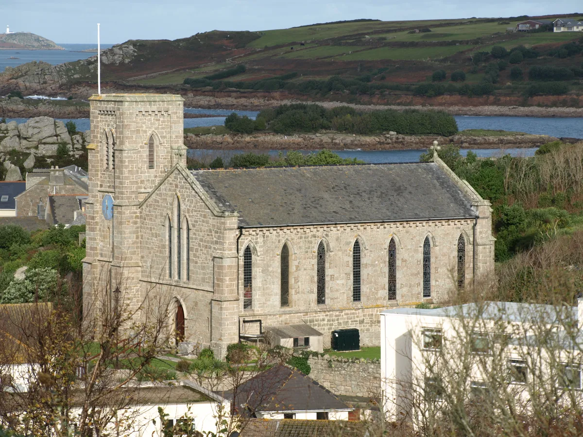
St Mary's Church, St Mary's
Historic churches · 0.5 km

Hugh Town Harbour
Harbours & ports · 0.5 km

Town Beach
Beaches · 0.6 km

Lyonesse Guest House
B&Bs · 0.7 km

Buzza Hill
Mountains & hills · 0.7 km

Buzza Tower
Memorials & monuments · 0.7 km
Nearby
📷 3Historic houses · South West England
Harry's Walls
Harry's Walls — a historic house in South West England, United Kingdom.
📷 5Archaeological sites · South West England
Harry's Walls
Harry's Walls — archaeological in england south west.
📷 5Islands · South West England
Newford Island
Newford Island — island in the Isles of Scilly.
📷 5Beaches · South West England
Porthloo Beach
Porthloo Beach is a beach in the United Kingdom.
📷 5Beaches · South West England
Porth Mellon
Porth Mellon is a beach in the United Kingdom.
📷 5Natural landmarks · South West England
St. Mary's Pool
St. Mary's Pool — a natural feature in england south west.
Where to eat & stay near Thomas' Porth or Shark's Pit
Places to stay
📷 5B&Bs · South West England
Lyonesse Guest House
Lyonesse Guest House — a bed-and-breakfast in england south west.
 📷 5
📷 5Hotels · South West England
Atlantic Hotel
Atlantic Hotel — a hotel in england south west.
 📷 5
📷 5Hotels · South West England
Tregarthen's Hotel
Tregarthen's Hotel — a hotel in england south west.
 📷 5
📷 5Hotels · South West England
Star Castle
Star Castle — a hotel in england south west.
 📷 5
📷 5Campsites · South West England
Pelistry Campsite
Pelistry Campsite — a campsite in england south west.
 📷 5
📷 5Campsites · South West England
Troytown Farm Campsite
Troytown Farm Campsite — a campsite in england south west.
More beaches in this region
 📷 5
📷 5Beaches · South West England
Alum Chine Beach
Alum Chine Beach is a beach in the United Kingdom.
 📷 5
📷 5Beaches · South West England
Bournemouth Beach
Bournemouth Beach — beach in Bournemouth, Dorset, UK.
 📷 5
📷 5Beaches · South West England
Bournemouth East Beach
Bournemouth East Beach is a beach in the United Kingdom.
 📷 5
📷 5Beaches · South West England
Bournemouth West Beach
Bournemouth West Beach is a beach in the United Kingdom.
Frequently asked questions
- Where is Thomas' Porth or Shark's Pit?
- Thomas' Porth or Shark's Pit is in South-West England, United Kingdom (postcode TR21 0NE), in the parish of St Mary's.
- What is Thomas' Porth or Shark's Pit?
- Thomas' Porth or Shark's Pit is a beach in the United Kingdom.
- How do I get to Thomas' Porth or Shark's Pit?
- The nearest town is Hugh Town. Drivers can use postcode TR21 0NE.
- Is Thomas' Porth or Shark's Pit a protected site?
- Yes — Thomas' Porth or Shark's Pit is part of the Isles Of Scilly National Landscape (AONB).
- Is Thomas' Porth or Shark's Pit free to visit?
- Yes, Thomas' Porth or Shark's Pit is free to enter.
- How do I get to Thomas' Porth or Shark's Pit?
- Drivers can navigate to postcode TR21 0NE. It sits within the St Ives parliamentary constituency.