
Beaches · South West England
Porth Mellon
In or near Hugh Town.
Porth Mellon is a beach in the United Kingdom.

Richard Johns — CC BY-SA 2.0 via Wikimedia Commons licence

Plan your visit
- Typical visit
- 1 h–3 h
- Best time of year
- Summer (Jun–Aug)
- Free entry
- Family-friendly
- Dog-friendly
Getting there & planning your visit
Porth Mellon is located in the Isles of Scilly, with the postcode TR21 0JY. Entry to the beach is free. There is no nearest railway station mentioned, so please plan your visit accordingly.
About
Porth Mellon is a named beach on the United Kingdom coastline. Coordinates: 49.9172°, -6.3089°. This entry is part of The Great Britain Guide, a free, ad-free, open-data tourist directory.
Photo gallery
Official information
Harry's Walls consists of two artillery bastions and a length of curtain wall located on St Mary's in the Isles of Scilly. The fortification was initiated in 1551 but was left unfinished as the main fortress was built elsewhere. Visitors can explore the historical site and enjoy views overlooking the main harbour.
Protected designations
- Area of Outstanding Natural Beauty: Isles Of Scilly
Designations sourced from Natural England open data under OGL v3.
From the Wikipedia article
Mullion Cove, or Porth Mellin, (Cornish: Porth Melin) is a small community on the West Coast of the Lizard Peninsula in Cornwall, England, and on the eastern side of Mount's Bay. The Cove forms part of the parish of Mullion, and is accessible by road from Mullion village, 1 mile (1.6 km) to the northeast, and also via the South West coast path. It lies within an Area of Outstanding Natural Beauty. The cove is 5 miles (8 km) south of Porthleven and 14 miles (23 km) southeast of Penzance by sea. It is 6 miles (9.7 km) south of Helston by land and 13 miles (21 km) southwest of Falmouth by land. In 1937, a 2-mile (3.2 km) stretch of the coast from Mullion Cove to Predannack was preserved for the nation with the help of the Council for the Preservation of Rural England and the National Trust. The cove is partly protected from the strong winds and ocean currents in the region by Mullion Island or (Enys Pryven in Cornish), which lies about 720 yards (660 m) offshore to the southwest. Occupancy of the Mullion Cove goes back several hundred years, but in the early 1800s, it had three working Grist Mills, including "Criggan Mill, Mullion Mill Farm" (List Entry Number 1141889) (currently listed as Criggan Mill, Mullion Cove), and by the Census of 1841 the Cove had several working fish cellars, net lofts and two thatched cottages. Until the early 20th century, it had a thriving inshore pilchard seine fishing industry, was part of the Mounts Bay Fishery and also had an abundant history of crab, lobster and crawfish fishing using traditional Cornish methods with locally manufactured withy pots. Between 1890 and 1892, and between 1895 and 1897, a harbour of two stone piers, mostly made from granite, serpentine and elvan with a concrete core was constructed with the financial help of Lord Robartes of Lanhydrock for both coastal protection and to provide support and an economic base for fishermen, local farmers and local traders at a time when agriculture was going through a…
Excerpt from Wikipedia under CC BY-SA 4.0. See the source article linked in Sources below.
- Coordinates
- 49.9172, -6.3089
- District
- Isles of Scilly
- Parish
- St Mary's
- Postcode
- TR21 0JY
- Parliamentary constituency
- St Ives
- Opening
- Open any reasonable time during daylight hours
- Official site
- www.english-heritage.org.uk
Sources
- osm: w33459054 (ODbL)
- wikipedia: Porth Mellin (CC BY-SA 4.0)
Other places nearby

Harry's Walls
Historic houses · 0.2 km

Harry's Walls
Archaeological sites · 0.2 km
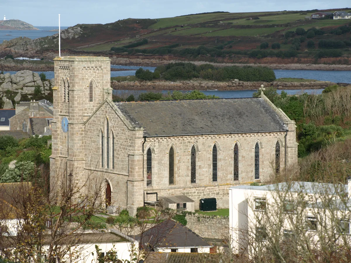
St Mary's Church, St Mary's
Historic churches · 0.2 km

Thomas' Porth or Shark's Pit
Beaches · 0.3 km

St. Mary's Pool
Natural landmarks · 0.4 km

Hugh Town Harbour
Harbours & ports · 0.4 km

Lyonesse Guest House
B&Bs · 0.4 km

Buzza Hill
Mountains & hills · 0.4 km

Buzza Tower
Memorials & monuments · 0.4 km

Newford Island
Islands · 0.4 km

Town Beach
Beaches · 0.4 km

Porthloo Beach
Beaches · 0.5 km
Nearby
📷 3Historic houses · South West England
Harry's Walls
Harry's Walls — a historic house in South West England, United Kingdom.
📷 5Archaeological sites · South West England
Harry's Walls
Harry's Walls — archaeological in england south west.
📷 3Historic churches · South West England
St Mary's Church, St Mary's
St Mary's Church, St Mary's — church building in St. Mary's, Isles of Scilly, Cornwall, England, UK.
📷 3Beaches · South West England
Thomas' Porth or Shark's Pit
Thomas' Porth or Shark's Pit is a beach in the United Kingdom.
📷 5Natural landmarks · South West England
St. Mary's Pool
St. Mary's Pool — a natural feature in england south west.
📷 5Harbours & ports · South West England
Hugh Town Harbour
Hugh Town Harbour — harbour at Hugh Town.
Where to eat & stay near Porth Mellon
Places to stay
📷 5B&Bs · South West England
Lyonesse Guest House
Lyonesse Guest House — a bed-and-breakfast in england south west.
 📷 5
📷 5Hotels · South West England
Atlantic Hotel
Atlantic Hotel — a hotel in england south west.
 📷 5
📷 5Hotels · South West England
Tregarthen's Hotel
Tregarthen's Hotel — a hotel in england south west.
 📷 5
📷 5Hotels · South West England
Star Castle
Star Castle — a hotel in england south west.
 📷 5
📷 5Campsites · South West England
Pelistry Campsite
Pelistry Campsite — a campsite in england south west.
 📷 5
📷 5Campsites · South West England
Troytown Farm Campsite
Troytown Farm Campsite — a campsite in england south west.
More beaches in this region
 📷 5
📷 5Beaches · South West England
Alum Chine Beach
Alum Chine Beach is a beach in the United Kingdom.
 📷 5
📷 5Beaches · South West England
Bournemouth Beach
Bournemouth Beach — beach in Bournemouth, Dorset, UK.
 📷 5
📷 5Beaches · South West England
Bournemouth East Beach
Bournemouth East Beach is a beach in the United Kingdom.
 📷 5
📷 5Beaches · South West England
Bournemouth West Beach
Bournemouth West Beach is a beach in the United Kingdom.
Frequently asked questions
- Where is Porth Mellon?
- Porth Mellon is in South-West England, United Kingdom (postcode TR21 0JY), in the parish of St Mary's.
- What is Porth Mellon?
- Porth Mellon is a beach in the United Kingdom.
- How do I get to Porth Mellon?
- The nearest town is Hugh Town. Drivers can use postcode TR21 0JY.
- Is Porth Mellon a protected site?
- Yes — Porth Mellon is part of the Isles Of Scilly National Landscape (AONB).
- Is Porth Mellon free to visit?
- Yes, Porth Mellon is free to enter.
- How do I get to Porth Mellon?
- Drivers can navigate to postcode TR21 0JY. It sits within the St Ives parliamentary constituency.