
Aqueducts · North West England
Thirlmere Aqueduct
In or near Grange in Borrowdale.
Thirlmere Aqueduct — aqueduct in North West England, UK.

Wikimedia Commons contributors — see linked file page for photographer and licence licence

Plan your visit
- Typical visit
- 30 min–1 h
- Nearest railway station
- Threlkeld Quarry · 5.5 km
- Free entry
- Dog-friendly
Getting there & planning your visit
To visit Thirlmere Aqueduct, the nearest railway station is Threlkeld Quarry, located 5.5 km away. The postcode for sat-nav is CA12 4TG. Entry to the aqueduct is free.
About
Thirlmere Aqueduct is a aqueduct in the United Kingdom. Wikidata describes it as: "aqueduct in North West England, UK". Coordinates: 54.5615°, -3.0680°.
Photo gallery
See it from the streetimagery from 2020
Imagery © Mapillary contributors, CC BY-SA 4.0
Protected designations
- Site of Special Scientific Interest: River Derwent and Tributaries SSSI
- Site of Special Scientific Interest: Armboth Fells SSSI
- Site of Special Scientific Interest: Thirlmere Woods SSSI
Designations sourced from Natural England open data under OGL v3.
From the Wikipedia article
The Thirlmere Aqueduct is a 95.9-mile-long (154.3-kilometre-long) pioneering section of water supply system in England, built by the Manchester Corporation Waterworks between 1890 and 1925. Often incorrectly thought of as one of the longest tunnels in the world, the aqueduct's tunnel section is not continuous. The aqueduct was built to carry approximately 55,000,000 imperial gallons (250,000 m3) per day of water from Thirlmere Reservoir to Manchester. The construction of the reservoir and aqueduct was authorised by the Manchester Corporation Waterworks Act 1879 (42 & 43 Vict. c. cxxvi). The first phase was completed in 1897 and, for the pipeline sections, subsequent phases were completed in 1925. The first water to arrive in Manchester from the Lake District was marked with an official ceremony on 13 October 1894. The route of the reservoir passes through Lancashire and then enters Manchester through Salford and Trafford.
Excerpt from Wikipedia under CC BY-SA 4.0. See the source article linked in Sources below.
Background
History
In 1874 John Frederick Bateman advised Manchester Corporation that the increasing demand for water, then averaging 18000000 impgal per day, would soon exhaust the available supply from Longdendale. His first recommendation was to source water from Ullswater, but it was eventually decided to seek powers to acquire Thirlmere and build a dam there. In the face of local opposition the Manchester Corporation Waterworks Act 1879 (42 & 43 Vict. c. cxxvi) authorising the project received royal assent. Under this act Manchester was granted priority of right to 25 impgal per person per day.
Architecture
Sections of the route of the aqueduct have over time been modified for the construction of modern motorways. During the construction of the M6 and M61 connection a short section was diverted. A short section of the aqueduct near Worsley, Greater Manchester, was also re-routed in the late 1960s during the construction of the M62/M63/M602 motorway interchange.
Sourced from Wikipedia under CC BY-SA 4.0.
- Coordinates
- 54.5615, -3.0680
- District
- Cumberland
- Parish
- St John's Castlerigg and Wythburn
- Postcode
- CA12 4TG
- Parliamentary constituency
- Penrith and Solway
- Nearest railway station
- Threlkeld Quarry — 5.5 km
- Official site
- c8.alamy.com
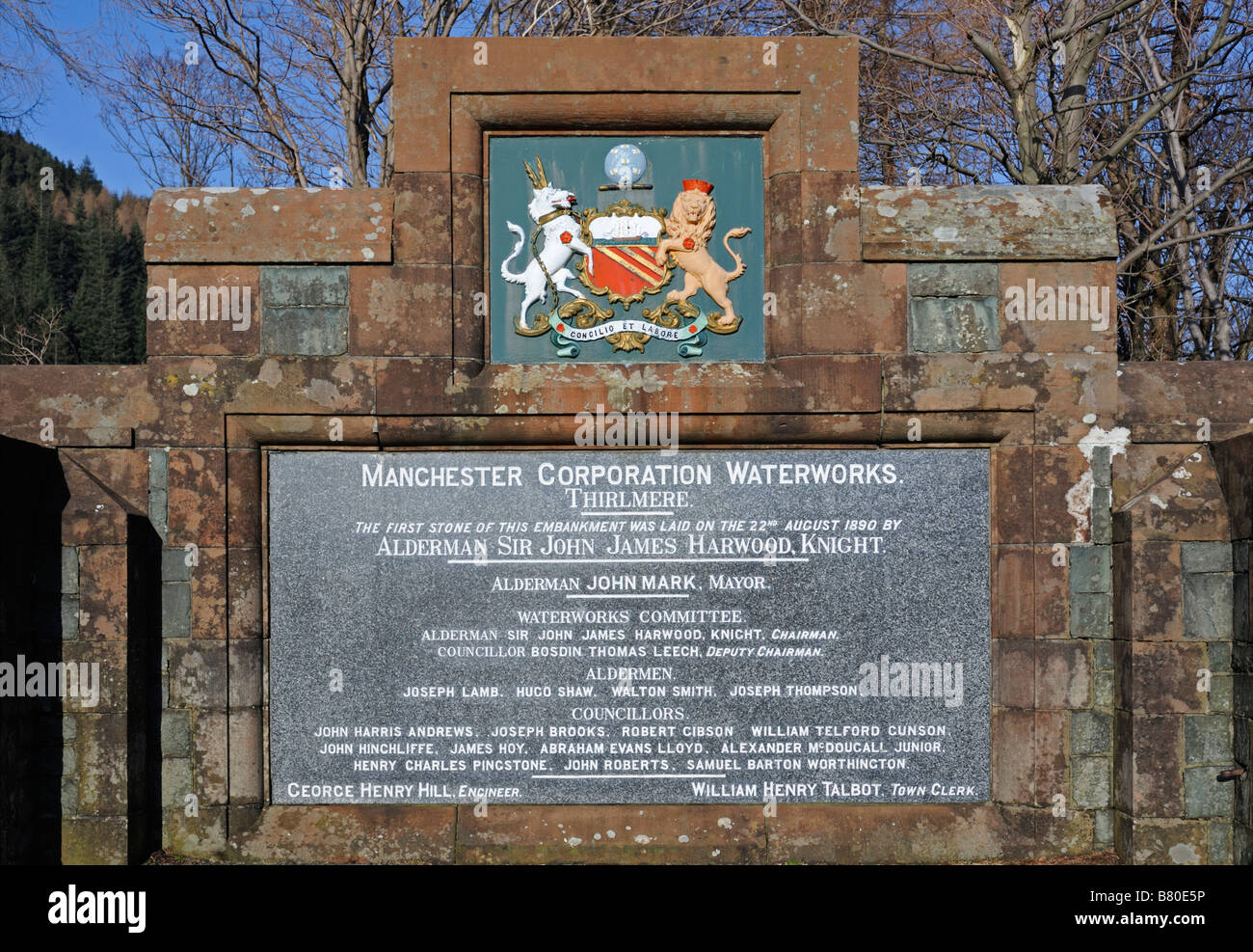
Sources
- wikidata: Q7785115 (CC0)
- wikipedia: Thirlmere Aqueduct (CC BY-SA 4.0)
- commons: Thirlmere Aqueduct Higher Wheelton.jpg (CC BY-SA 4.0)
Featured in this guide
Other places nearby

Thirlmere Embankment
Memorials & monuments · 0.1 km

Great How
Mountains & hills · 0.4 km
Great How (Thirlmere)
Mountains & hills · 0.4 km
Great How
Mountains & hills · 0.4 km

High Bridge End Farm
Caravan parks · 0.5 km
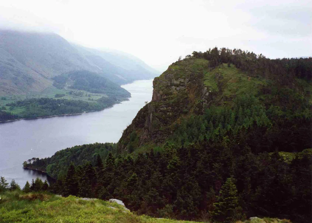
Raven Crag
Natural landmarks · 0.7 km

Raven Crag
Mountains & hills · 0.7 km

Smaithwaite Hill
Mountains & hills · 0.8 km

The Benn
Mountains & hills · 0.9 km
Sippling Crag
Mountains & hills · 0.9 km

Shoulthwaite Gill hillfort, Thirlmere
Vineyards · 1.1 km
Castle Crag
Mountains & hills · 1.1 km
Nearby
📷 3Memorials & monuments · North West England
Thirlmere Embankment
Thirlmere Embankment — a memorial in North West England, United Kingdom.
📷 5Mountains & hills · North West England
Great How
Great How — mountain in england north east. Elevation: 332.8 m.
📷 5Mountains & hills · North West England
Great How (Thirlmere)
Great How (Thirlmere) — a hill or mountain in england north east.
📷 5Mountains & hills · North West England
Great How
Great How — mountain in england north east. Elevation: 333.1 m.
📷 5Caravan parks · North West England
High Bridge End Farm
High Bridge End Farm — a caravan park in england north east.
📷 3Where to eat & stay near Thirlmere Aqueduct
Places to stay
📷 5Caravan parks · North West England
High Bridge End Farm
High Bridge End Farm — a caravan park in england north east.
 📷 5
📷 5Campsites · North West England
Thirlspot Farm Camping
Thirlspot Farm Camping — a campsite in england north east.
 📷 5
📷 5Caravan parks · North West England
Dalebottom Farm Camping Site and Caravan Park
Dalebottom Farm Camping Site and Caravan Park — a caravan park in england north east.
 📷 5
📷 5Hostels · North West England
St John's in the Vale Centre
St John's in the Vale Centre — a hostel in england north east.
 📷 5
📷 5Hostels · North West England
St John's in the Vale Centre
St John's in the Vale Centre — a hostel in england north east.
 📷 5
📷 5Campsites · North West England
Keswick Scouts Ashness Hut
Keswick Scouts Ashness Hut — a campsite in england north east.
Places to eat & drink
 📷 7
📷 7Cafés · North West England
Grange Bridge Cottage
Grange Bridge Cottage — a café in england north east.
 📷 5
📷 5 📷 7
📷 7Historic pubs · North West England
The Travellers Rest
The Travellers Rest in England North West, United Kingdom.
 📷 5
📷 5Historic pubs · North West England
Golden Rule Hotel
Golden Rule Hotel in England North West, United Kingdom.
 📷 7
📷 7Historic pubs · North West England
The Pheasant Inn
The Pheasant Inn in Scotland Lowlands, United Kingdom.
 📷 5
📷 5Historic pubs · North West England
Horse And Farrier Inn And Stables
Horse And Farrier Inn And Stables in Scotland Lowlands, United Kingdom.
More places in this region
 📷 3
📷 3Aqueducts · North West England
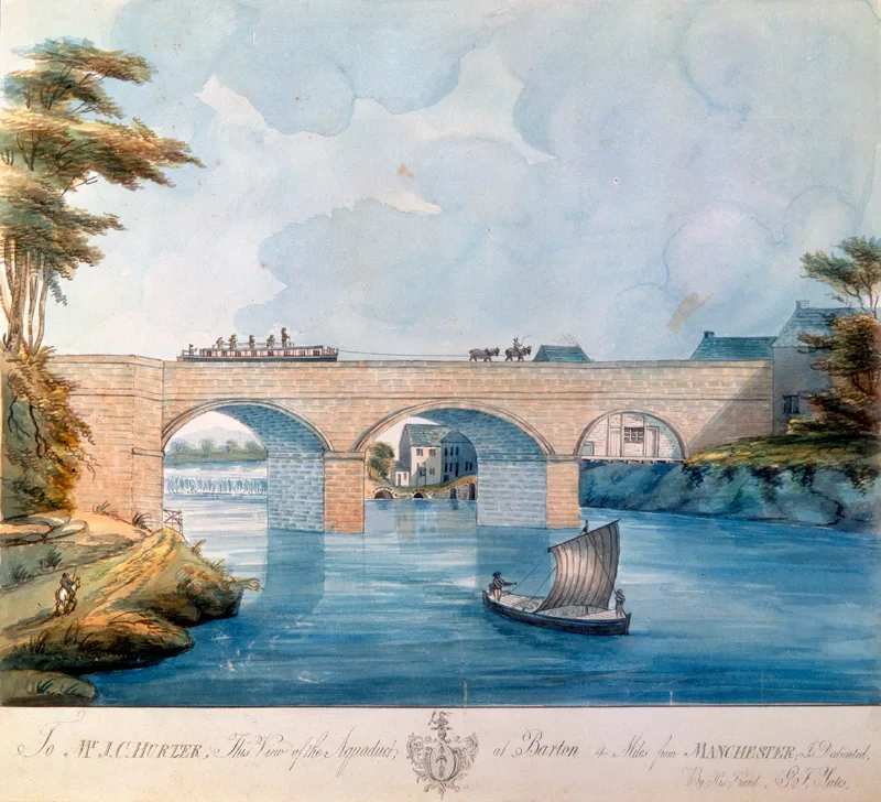
Barton Aqueduct
Barton Aqueduct is a aqueduct in the United Kingdom.
 📷 3
📷 3Aqueducts · North West England
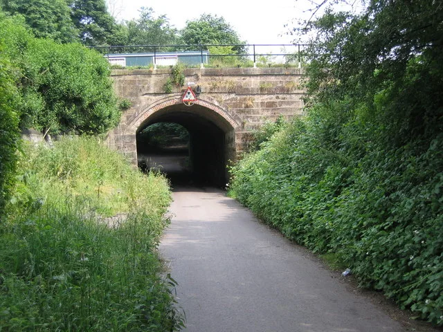
Bridgewater Canal Aqueduct Bridgewater Canal Aqueduct Over Hawthorn Road
Bridgewater Canal Aqueduct Bridgewater Canal Aqueduct Over Hawthorn Road — aqueduct in Trafford, Greater Manchester, England, UK.
 📷 3
📷 3Aqueducts · North West England
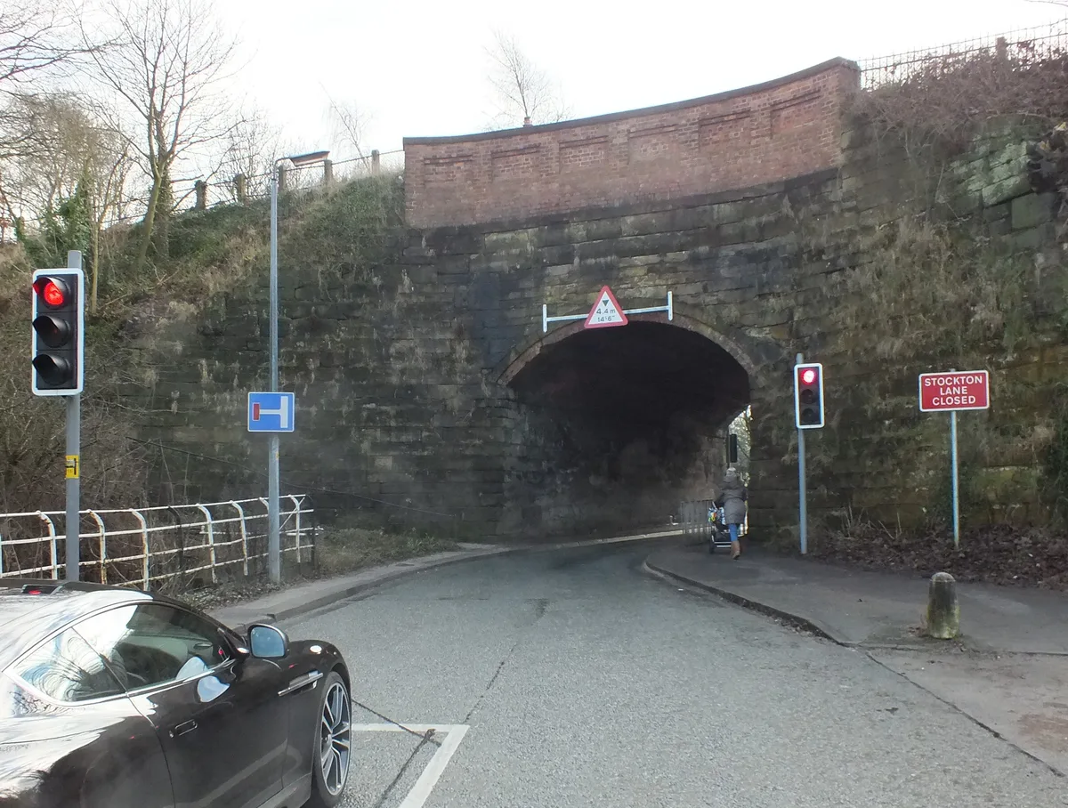
Lumb Brook Bridge (An Aqueduct)
Lumb Brook Bridge (An Aqueduct) — aqueduct in Stockton Heath, Warrington, Cheshire, England, UK.
 📷 3
📷 3Aqueducts · North West England
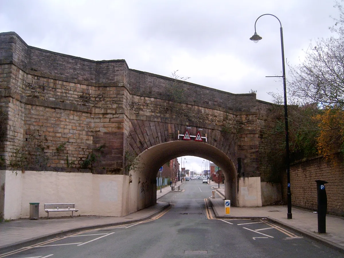
Store Street Aqueduct
Store Street Aqueduct — bridge in Manchester, Greater Manchester, England, UK.
Frequently asked questions
- Where is Thirlmere Aqueduct?
- Thirlmere Aqueduct is in North-West England, United Kingdom (postcode CA12 4TG), in the parish of St John's Castlerigg and Wythburn.
- What is Thirlmere Aqueduct?
- Thirlmere Aqueduct — aqueduct in North West England, UK.
- How do I get to Thirlmere Aqueduct?
- The nearest railway station is Threlkeld Quarry, about 5.5 km away. The nearest town is Grange in Borrowdale. Drivers can use postcode CA12 4TG.
- Is Thirlmere Aqueduct a protected site?
- Yes — Thirlmere Aqueduct is part of the River Derwent and Tributaries SSSI Site of Special Scientific Interest and the Armboth Fells SSSI Site of Special Scientific Interest.
- Is Thirlmere Aqueduct free to visit?
- Yes, Thirlmere Aqueduct is free to enter.
- How do I get to Thirlmere Aqueduct?
- The nearest railway station is Threlkeld Quarry, about 5.5 km away. Drivers can navigate to postcode CA12 4TG.