
Historic houses · South West England
The Round House, Stanton Drew
In or near Chelwood.
The Round House, Stanton Drew — a Grade II-listed historic house in england-south-west, United Kingdom.

John Lord — CC BY-SA 2.0 via Wikimedia Commons licence

Plan your visit
- Typical visit
- 1 h–2 h
- Nearest railway station
- Parson Street · 7.2 km
- Family-friendly
- Limited wheelchair access
Getting there & planning your visit
To visit The Round House in Stanton Drew, the nearest railway station is Parson Street, located 7.2 km away. The postcode for sat-nav is BS39 4ET. Accessibility is limited for wheelchair users.
About
The Round House, Stanton Drew is a Grade II-listed building in england-south-west, United Kingdom. Grade II status is conferred by Historic England (or Cadw, Historic Environment Scotland or NIEA equivalents) on buildings of exceptional national interest. See the linked Wikipedia article for full historical and architectural details.
Photo gallery
Protected designations
- Site of Special Scientific Interest: Severn Estuary SSSI
Designations sourced from Natural England open data under OGL v3.
From the Wikipedia article
The Round House (also known as The Toll House) at Stanton Drew in the English county of Somerset was built in the 18th century. It has been designated as a Grade II listed building. The two-storey thatched building is hexagonal in plan. It is on the road between Chew Magna and Pensford and close to the bridge over the River Chew. It was built around 1793 by the West Harptree Turnpike Trust and served as a toll house when turnpikes were in use. A pouch hung on a hook over the door was used by coach drivers to pay the toll. In the 1850s it was home to the Burridge family who acted as the toll collectors until the Turnpike Trust was abolished in 1876. From 1896 to the 1940s was lived in by Frederick Rich. It was still occupied in 2012. On the ground floor are a kitchen and shower room, and there is a bedroom on the first floor. The total living space is 24 square meters.
Excerpt from Wikipedia under CC BY-SA 4.0. See the source article linked in Sources below.
- Coordinates
- 51.3703, -2.5811
- District
- Bath and North East Somerset
- Parish
- Stanton Drew
- Postcode
- BS39 4ET
- Parliamentary constituency
- North East Somerset and Hanham
- Nearest railway station
- Parson Street — 7.2 km
Sources
- wikidata: Q15979569 (CC0)
- wikipedia: The Round House, Stanton Drew (CC BY-SA 4.0)
Other places nearby
.jpg?width=1200)
The Court
Historic houses · 0.3 km

Stanton Drew Great Circle
Archaeological sites · 0.5 km
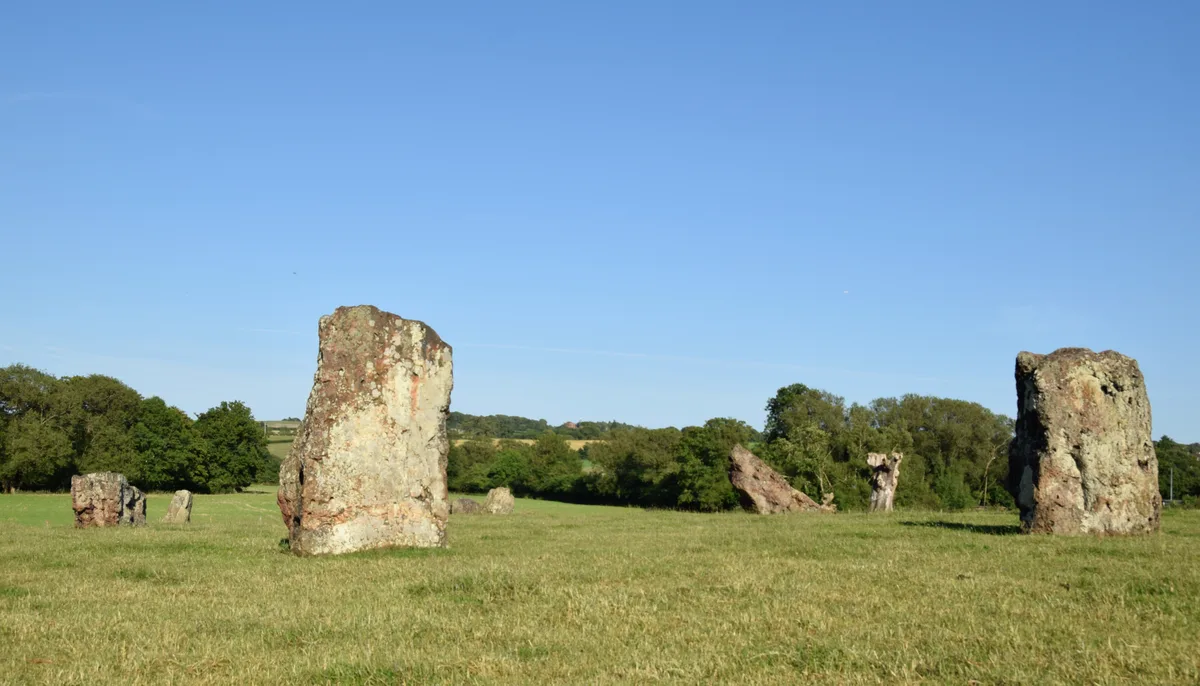
Stanton Drew stone circles
Hill forts · 0.5 km
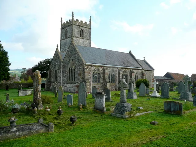
Church of St Mary the Virgin, Stanton Drew
Historic churches · 0.5 km

Stanton Drew Circle North-east
Archaeological sites · 0.5 km

Hautville's Quoit
Windmills · 0.5 km

The Cove
Memorials & monuments · 0.5 km

Stanton Drew Circle South-west
Archaeological sites · 0.6 km

Stanton Drew Circle South-west
Archaeological sites · 0.6 km
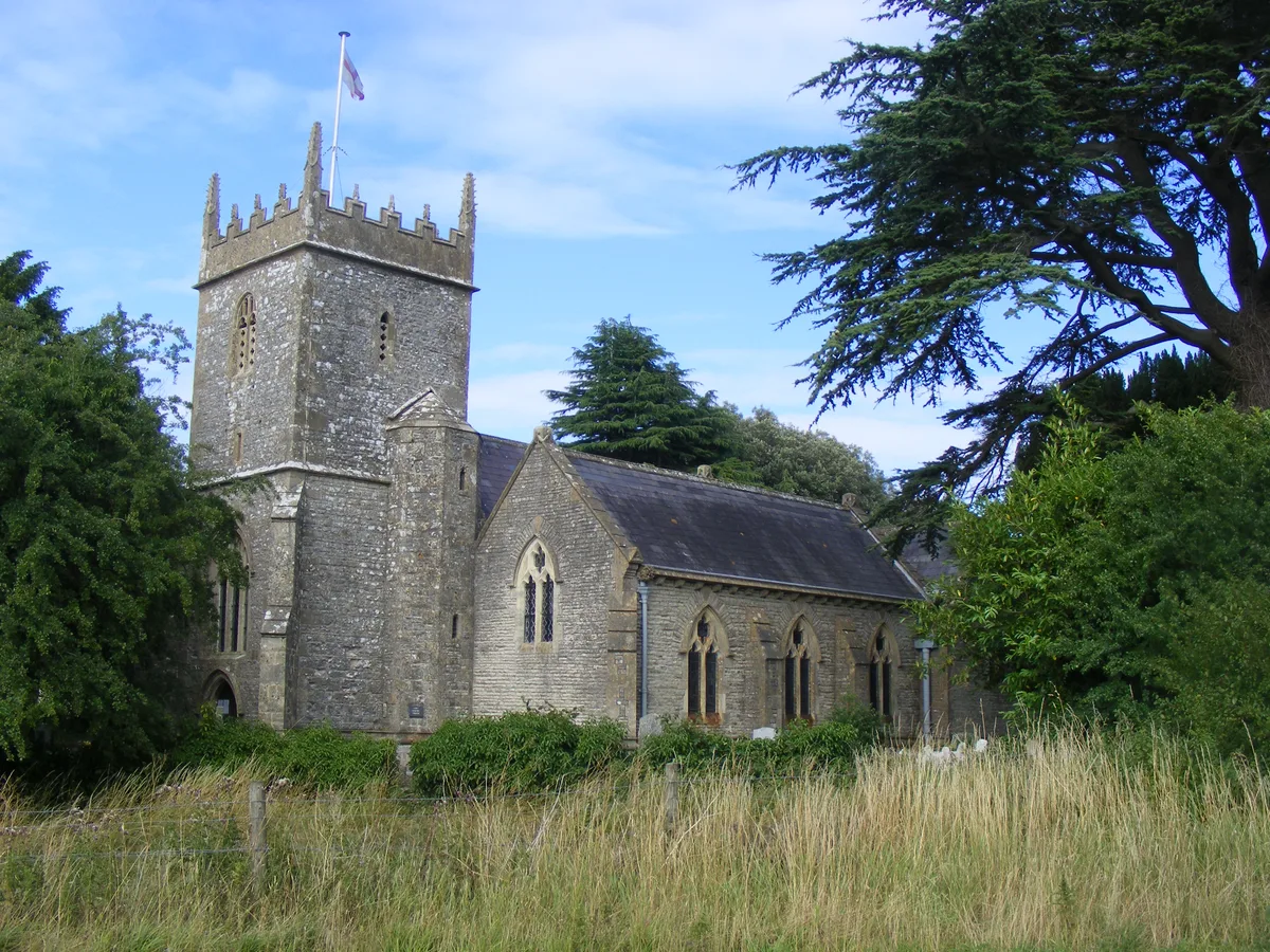
Holy Trinity Church, Norton Malreward
Historic churches · 1.6 km

Chew Court
Historic houses · 1.9 km

St Andrew's Church, Chew Magna
Historic churches · 2.0 km
Nearby
📷 3Historic houses · South West England
The Court
The Court — house in Stanton Drew, Somerset, England, UK.
📷 3Archaeological sites · South West England
Stanton Drew Great Circle
Stanton Drew Great Circle — a archaeological in england-south-west, United Kingdom.
📷 3Hill forts · South West England
Stanton Drew stone circles
Stanton Drew stone circles — Neolithic henge monument; stone circles.
📷 5Historic churches · South West England
Church of St Mary the Virgin, Stanton Drew
Church of St Mary the Virgin, Stanton Drew — church in Bath and North East Somerset, England, UK.
📷 3Archaeological sites · South West England
Stanton Drew Circle North-east
Stanton Drew Circle North-east — a archaeological in england-south-west, United Kingdom.
📷 5Windmills · South West England
Hautville's Quoit
Hautville's Quoit — a post mill in england-south-west, United Kingdom.
Where to eat & stay near The Round House, Stanton Drew
Places to stay
 📷 5
📷 5Caravan parks · South West England
Chew Valley Caravan Park
Chew Valley Caravan Park — a caravan park in england south west.
 📷 5
📷 5Campsites · South West England
Bristol View Glamping
Bristol View Glamping — a campsite in wales south.
 📷 5
📷 5Campsites · South West England
Chelwood Scout Campsite
Chelwood Scout Campsite — a campsite in england south west.
 📷 5
📷 5Campsites · South Wales
Walnut Tree Farm Camping
Walnut Tree Farm Camping — a campsite in wales south.
 📷 5
📷 5Hotels · South West England
Cameley Lodge
Cameley Lodge — a hotel in england south west.
 📷 5
📷 5Campsites · South West England
Bury View Farm
Bury View Farm — a campsite in england south east.
Places to eat & drink
 📷 5
📷 5Historic pubs · South West England
The Trout Tavern
The Trout Tavern in England South West, United Kingdom.
 📷 5
📷 5Historic pubs · South West England
The Old Bank Public House
The Old Bank Public House in England South West, United Kingdom.
 📷 5
📷 5 📷 7
📷 7Historic pubs · South West England
The Thunderbolt
The Thunderbolt in Wales South, United Kingdom.
 📷 5
📷 5Historic pubs · South West England
Black Castle Public House
Black Castle Public House in Wales South, United Kingdom.
 📷 5
📷 5Historic pubs · South West England
The Louisiana Public House
The Louisiana Public House in Wales South, United Kingdom.
More historic houses in this region
 📷 5
📷 5Historic houses · South West England
1 South Parade
1 South Parade — Grade I listed house in Bath, Somerset, England, UK.
_(geograph_6440799).jpg?width=1200) 📷 5
📷 5Historic houses · South West England
1-4 Lansdowne Grove, Morris Lane
1-4 Lansdowne Grove, Morris Lane — houses in Devizes, Wiltshire, England, UK.
 📷 5
📷 5Historic houses · South West England
2 North Parade
2 North Parade — building in Bath, UK; part of Abbey Hotel.
 📷 5
📷 5Historic houses · South West England
2, South Place, Lacock Road
2, South Place, Lacock Road — house in Corsham, Wiltshire, England, UK.
Frequently asked questions
- Where is The Round House, Stanton Drew?
- The Round House, Stanton Drew is in South-West England, United Kingdom (postcode BS39 4ET), in the parish of Stanton Drew.
- What is The Round House, Stanton Drew?
- The Round House, Stanton Drew — a Grade II-listed historic house in england-south-west, United Kingdom.
- How do I get to The Round House, Stanton Drew?
- The nearest railway station is Parson Street, about 7.2 km away. The nearest town is Chelwood. Drivers can use postcode BS39 4ET.
- Who owns The Round House, Stanton Drew?
- The Round House, Stanton Drew is owned by | designation1 =Grade II listed building.
- Is The Round House, Stanton Drew a listed building?
- The Round House, Stanton Drew is officially recognised as Grade II listed.
- Is The Round House, Stanton Drew a protected site?
- Yes — The Round House, Stanton Drew is part of the Severn Estuary SSSI Site of Special Scientific Interest.
- How do I get to The Round House, Stanton Drew?
- The nearest railway station is Parson Street, about 7.2 km away. Drivers can navigate to postcode BS39 4ET.