Reservoirs & lochs · Scottish Highlands
The Rough Bounds
Also known as: Na Garbh Chríochan
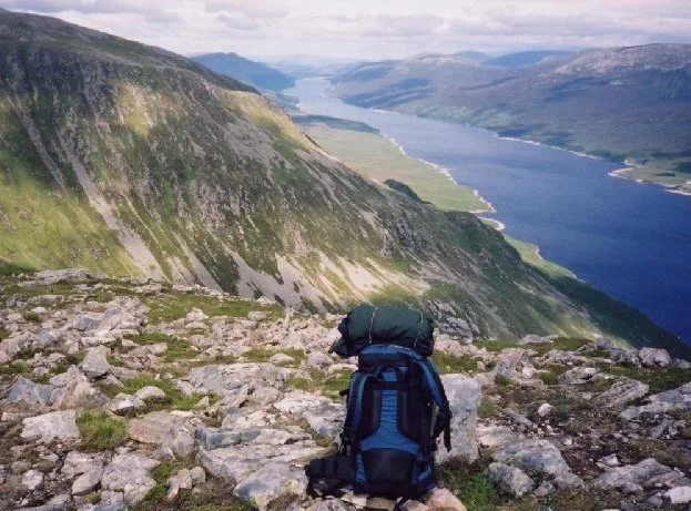
The Rough Bounds in Scotland Islands, United Kingdom.

Adam Ward — CC BY-SA 2.0 via Wikimedia Commons licence
Plan your visit
- Typical visit
- 1 h–2.5 h
- Free entry
- Dog-friendly
About
The Rough Bounds is a place of interest in Scotland Islands, United Kingdom — drawn from open-data sources for visitor reference. See the linked Wikipedia article for the full description.
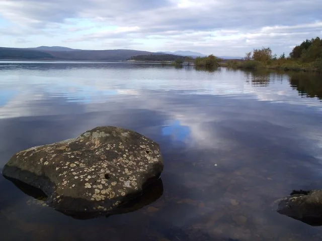
Photo gallery
From the Wikipedia article
The Rough Bounds (Scottish Gaelic: Na Garbh Chriochan), in the Scottish Highlands, is the area of West Inverness-shire bounded by Loch Hourn, Loch Shiel, and Loch Moidart, consisting of the districts of Knoydart, North Morar, Arisaig and Moidart. The area is famous for its wildness and inaccessibility and remains very sparsely populated. An anonymous writer in 1750 commented that "all these countries viz. Knoydart, the Two Morrirs, Moydart, and Arisaig, are the most Rough Mountainous and impassible parts in all the Highlands of Scotland, and are commonly called by the Inhabitants of the Neighbouring countries the highlands of the Highlands."
Excerpt from Wikipedia under CC BY-SA 4.0. See the source article linked in Sources below.
Background
History
Following raids by Vikings, the Rough Bounds became part of the Kingdom of the Isles, a Norwegian dependency. In the late 11th century, however, Malcolm III of Scotland made a written agreement with Magnus Barelegs, the Norwegian king, which moved the border to the coast; the area thus became Scottish. In the early 12th century, Somerled, a Norse-Gael of uncertain origin, came into possession of the Rough Bounds and Lorn; no reliable record explains how this happened, but by the 1140s, David I of Scotland's control of the region had been eroded. In the middle of the century, Somerled launched a coup in the Kingdom of the Isles, which resulted in that kingdom joining his other possessions,…
Description
Following the 1266 Treaty of Perth, Garmoran became a Scottish crown dependency - the Lordship of Garmoran. At the turn of the century, William I had created the position of Sheriff of Inverness, to be responsible for the Scottish highlands, which theoretically now extended to Garmoran. Most of the remainder of the Kingdom of the Isles had become the Lordship of the Isles, ruled by the MacDonalds (another group of Somerled's descendants). The Lordship of Garmoran remained under the rule of the MacRory, and their descendants - the Siol Gorrie and Clan Ranald. However, violent disputes between the latter two groups lead, in 1427, to king James I executing the leader of the Siol Gorrie, and…
Sourced from Wikipedia under CC BY-SA 4.0.
- Coordinates
- 57.0583, -5.6667
Sources
- wikidata: Q3778487 (CC0)
- wikipedia: The Rough Bounds (CC BY-SA 4.0)
Other places nearby

Gleann na Guiserein
Gorges · 0.9 km

Knoydart
Reservoirs & lochs · 1.4 km

Easan Buidhe
Natural landmarks · 1.6 km

Sgurr Coire Choinnichean
Mountains & hills · 1.8 km

Sgùrr Coire Chòinnichean
Mountains & hills · 1.8 km

Eas A Chaorainn
Waterfalls · 2.1 km

Eas Breac-achaidh
Natural landmarks · 2.3 km

Inverie
Reservoirs & lochs · 2.5 km

The Seven Men of Knoydart Memorial
Memorials & monuments · 2.6 km

Church Of Scotland, Inverie, Knoydart
Historic churches · 2.6 km
Rusty bulldozer
Natural landmarks · 2.7 km

Beinn Bhreac
Mountains & hills · 2.7 km
Nearby
📷 5📷 4📷 3Natural landmarks · Scottish Highlands
Easan Buidhe
Easan Buidhe in Scotland Islands, United Kingdom.
📷 5Mountains & hills · Scottish Highlands
Sgurr Coire Choinnichean
Sgurr Coire Choinnichean — a hill or mountain in scotland highlands.
📷 3Mountains & hills · Scottish Highlands
Sgùrr Coire Chòinnichean
Sgùrr Coire Chòinnichean — a mountain in scotland-highlands, United Kingdom.
📷 5Where to eat & stay near The Rough Bounds
Places to stay
 📷 5
📷 5 📷 5
📷 5Hostels · Scottish Highlands
Knoydart Foundation Bunkhouse
Knoydart Foundation Bunkhouse — a hostel in scotland highlands.
 📷 5
📷 5Campsites · Scottish Highlands
Long Beach Campsite
Long Beach Campsite — a campsite in scotland highlands.
 📷 5
📷 5Campsites · Scottish Highlands
Barrisdale Estate Campsite
Barrisdale Estate Campsite — a campsite in scotland highlands.
 📷 5
📷 5Hostels · Scottish Highlands
The Mission Bunkhouse
The Mission Bunkhouse — a hostel in scotland highlands.
 📷 5
📷 5Hostels · Scottish Highlands
Mallaig Backpackers
Mallaig Backpackers — a hostel in scotland highlands.
More places in this region
 Flagship📷 3
Reservoirs & lochs · Scottish Highlands
Loch Ericht
Loch Ericht — lake in Perth and Kinross, and Highland, Scotland, UK, outflows to River Ericht.
 Flagship📷 3
Reservoirs & lochs · Scottish Highlands
Loch Shin
Loch Shin — reservoir in Highland, Scotland, UK, outflows to the River Shin.
 📷 4
📷 4Reservoirs & lochs · Scottish Highlands
Backwater Reservoir
Backwater Reservoir — lake in Angus, Scotland, UK.
 📷 3
📷 3Reservoirs & lochs · Scottish Highlands
Blackwater Reservoir
Blackwater Reservoir — reservoir in Highland, Scotland, UK, outflows to the River Leven.
Frequently asked questions
- Where is The Rough Bounds?
- The Rough Bounds is in the Scottish Islands, United Kingdom.
- What is The Rough Bounds?
- The Rough Bounds in Scotland Islands, United Kingdom.
- How do I get to The Rough Bounds?
- Its coordinates are 57.0583°, -5.6667°.
- Is The Rough Bounds free to visit?
- Yes, The Rough Bounds is free to enter.