
Historic houses · East of England
The Rampart
In or near Marks Tey.
The Rampart — a historic house in england-east, United Kingdom.

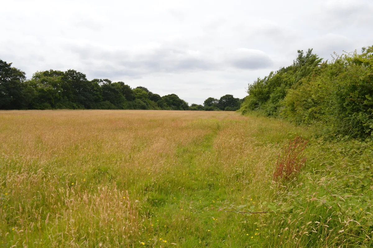
Andrew Hill — CC BY-SA 2.0 via Wikimedia Commons licence

Plan your visit
- Typical visit
- 1 h–2 h
- Nearest railway station
- Kelvedon · 5.0 km
- Family-friendly
- Limited wheelchair access
About
The Rampart is a historic house located in england-east, United Kingdom. Sourced from OpenStreetMap (ODbL licence); see local listings for visitor information, opening hours and admission details.
Photo gallery
Place summary
The Rampart is a historic house located in the East of England. It features distinctive architectural elements and reflects the region's heritage. The property is recognised for its historical significance, although specific details on its era or designation are not provided.
AI-generated from the structured facts on this page (operator, designation, listing, era). Not a substitute for visiting.
- Coordinates
- 51.8239, 0.7697
- County
- Essex
- District
- Colchester
- Parish
- Layer Marney
- Postcode
- CO5 9UF
- Parliamentary constituency
- Witham
- Nearest railway station
- Kelvedon — 5 km
Sources
- osm: way/147981392 (ODbL)
Other places nearby

Layer Marney
Villages · 1.8 km

Messing Maypole Mill
Windmills · 1.8 km

Layer Marney Tower
Natural landmarks · 1.9 km

Layer Marney Tower
Castles · 1.9 km

Messing
Villages · 1.9 km

Messing War Memorial
Memorials & monuments · 1.9 km

Tiptree
Museums · 2.1 km

Wilkin & Sons
Museums · 2.1 km
Tiptree Jam Museum
Museums · 2.2 km
Oxley Meadow
Wildlife reserves · 2.7 km

Tolleshunt Knights
Villages · 2.8 km

Inworth
Villages · 2.9 km
Nearby
📷 5📷 3Windmills · East of England
Messing Maypole Mill
Messing Maypole Mill is a windmill in the United Kingdom.
📷 3Natural landmarks · East of England
Layer Marney Tower
Layer Marney Tower — a other in england-east, United Kingdom.
📷 5Castles · East of England
Layer Marney Tower
Layer Marney Tower — castle in england east. Operated by he.
📷 5📷 3Memorials & monuments · East of England
Messing War Memorial
Messing War Memorial is a memorial in the United Kingdom.
Where to eat & stay near The Rampart
Places to stay
 📷 3
📷 3 📷 7
📷 7Hotels · East of England
White Hart Hotel
White Hart Hotel — a hotel in england east.
 📷 5
📷 5 📷 5
📷 5Campsites · East of England
Colchester Country Park
Colchester Country Park — a campsite in england east.
 📷 5
📷 5Caravan parks · East of England
Barrow Marsh Caravan Park
Barrow Marsh Caravan Park — a caravan park in england east.
 📷 5
📷 5Places to eat & drink
 📷 7
📷 7Historic pubs · East of England
Donkey And Buskins Public House
Donkey And Buskins Public House in England East, United Kingdom.
 📷 7
📷 7Historic pubs · East of England
The Fleece Public House
The Fleece Public House in England East, United Kingdom.
 📷 5
📷 5Historic pubs · East of England
Ye Olde Leather Bottle Public House
Ye Olde Leather Bottle Public House in England East, United Kingdom.
 📷 5
📷 5Historic pubs · East of England
The King's Head Public House
The King's Head Public House in England East, United Kingdom.
 📷 7
📷 7Historic pubs · East of England
Peldon Rose Public House
Peldon Rose Public House in England East, United Kingdom.
 📷 5
📷 5More historic houses in this region
 📷 5
📷 5Historic houses · East of England
41 and 41a, Broad Street
41 and 41a, Broad Street — Grade II* listed house in Ely, East Cambridgeshire, England, UK.
 📷 5
📷 5Historic houses · East of England
Abbey Gate House
Abbey Gate House — house in St Albans, Hertfordshire, England, UK.
 📷 5
📷 5Historic houses · East of England
Abbey House
Abbey House — house in Cambridge, Cambridgeshire, England, UK.
.jpg?width=1200) 📷 5
📷 5Historic houses · East of England
Amores Including Outbuildings
Amores Including Outbuildings — architectural structure in Hertford, East Hertfordshire, England, UK.
Frequently asked questions
- Where is The Rampart?
- The Rampart is in Essex, East of England, United Kingdom (postcode CO5 9UF), in the parish of Layer Marney.
- What is The Rampart?
- The Rampart — a historic house in england-east, United Kingdom.
- How do I get to The Rampart?
- The nearest railway station is Kelvedon, about 5.0 km away. Drivers can use postcode CO5 9UF.
- How do I get to The Rampart?
- The nearest railway station is Kelvedon, about 5.0 km away. Drivers can navigate to postcode CO5 9UF.