
Windmills · East of England
Messing Maypole Mill
In or near Little Braxted.
Messing Maypole Mill is a windmill in the United Kingdom.

Wikimedia Commons contributors — see linked file page for photographer and licence licence

Plan your visit
- Typical visit
- 30 min–1 h
- Nearest railway station
- Kelvedon · 4.1 km
- Free entry
- Family-friendly
- Dog-friendly
About
Messing Maypole Mill is a named windmill in the United Kingdom. Coordinates: 51.8161°, 0.7465°. This entry is part of The Great Britain Guide, a free, ad-free, open-data tourist directory.
Photo gallery
From the Wikipedia article
Messing Maypole Mill is a grade II listed Tower mill at Tiptree, Essex, England which has been converted to a residence. Prior to boundary changes made when the civil parish of Tiptree was established in 1934, the mill was in the parish of Tolleshunt Knights.
Excerpt from Wikipedia under CC BY-SA 4.0. See the source article linked in Sources below.
Background
History
Messing Maypole Mill was built in 1775 by Colchester millwright John Mathett at a cost of £315 excluding the brickwork. Matchett also rebuilt a post mill which stood some 190 yd south west of the tower mill (TL 894 167) and sum of £315 may include that work. Matchett owned the mill until it was purchased by miller Thomas Green in 1797. The mill passed to Edward Harvey on Green's death in 1806. Harvey died in 1829 and in 1829 the mill was purchased by miller James Peake. Peake was declared bankrupt in 1845 and the mill sold by his assignees. George Ransom was the next miller, and he introduced steam power. After the death of Ransom in 1884 the mill was run by his widow for a few years and…
Description
Messing Maypole Mill is a four-storey brick tower mill with a domed cap. When built it had four Common sails carried on a wooden windshaft and was winded by hand. There was a stage at first-floor level. The tower is 27 ft diameter at base level, decreasing to 14 ft at curb level. Height of the tower is 42 ft to curb and the mill stands 55 ft to the base of the finial on the cap, which was latterly winded by a fantail carried over the rear extension which housed the hand winding apparatus. The brickwork is 4 ft thick at base level and 22 in thick at curb level. The 10 ft diameter wooden Brake Wheel is of clasp arm construction, converted from compass arm. It has 72 cogs and is carried on a…
Sourced from Wikipedia under CC BY-SA 4.0.
- Coordinates
- 51.8161, 0.7465
- County
- Essex
- District
- Colchester
- Parish
- Tiptree
- Postcode
- CO5 0LG
- Parliamentary constituency
- Witham
- Established
- 1775
- Nearest railway station
- Kelvedon — 4.1 km
Sources
- osm: n358570755 (ODbL)
- wikipedia: Messing Maypole Mill (CC BY-SA 4.0)
- commons: Messing Maypole mill.jpg (CC BY-SA 4.0)
Other places nearby

Tiptree
Museums · 0.7 km

Wilkin & Sons
Museums · 1.1 km
Tiptree Jam Museum
Museums · 1.2 km

Inworth
Villages · 1.8 km

The Rampart
Historic houses · 1.8 km

Messing War Memorial
Memorials & monuments · 2.3 km
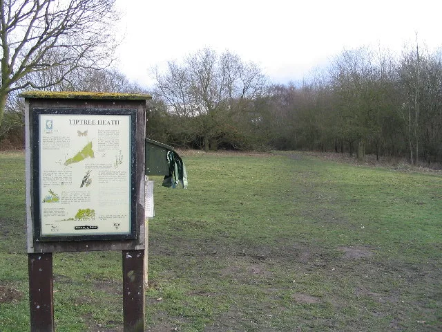
Tiptree Heath Nature Reserve
Wildlife reserves · 2.4 km

Messing
Villages · 2.4 km
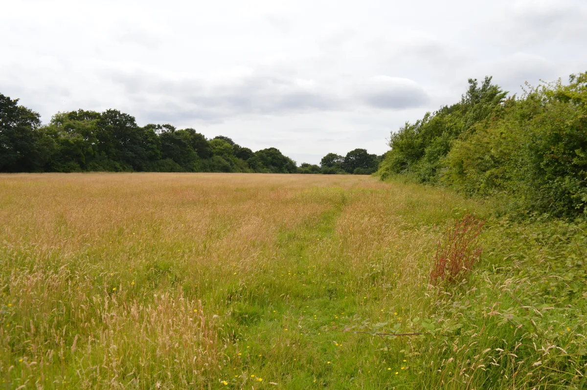
Oxley Meadow
Wildlife reserves · 2.8 km

Tolleshunt Knights
Villages · 2.8 km

Prested Hall
Hotels · 3.2 km

Layer Marney Tower
Natural landmarks · 3.5 km
Nearby
📷 5📷 5Museums · East of England
Wilkin & Sons
Wilkin & Sons — a museum in england-east, United Kingdom.
📷 3Museums · East of England
Tiptree Jam Museum
Tiptree Jam Museum — a museum in East of England, United Kingdom.
📷 5📷 3Historic houses · East of England
The Rampart
The Rampart — a historic house in East of England, United Kingdom.
📷 3Memorials & monuments · East of England
Messing War Memorial
Messing War Memorial is a memorial in the United Kingdom.
Where to eat & stay near Messing Maypole Mill
Places to stay
📷 3 📷 7
📷 7Hotels · East of England
White Hart Hotel
White Hart Hotel — a hotel in england east.
 📷 5
📷 5 📷 5
📷 5Caravan parks · East of England
Barrow Marsh Caravan Park
Barrow Marsh Caravan Park — a caravan park in england east.
📷 5Caravan parks · East of England
Happy Days Caravan Park
Happy Days Caravan Park — a caravan park in england east.
 📷 5
📷 5Places to eat & drink
 📷 7
📷 7Historic pubs · East of England
The Fleece Public House
The Fleece Public House in England East, United Kingdom.
 📷 5
📷 5Historic pubs · East of England
The King's Head Public House
The King's Head Public House in England East, United Kingdom.
 📷 7
📷 7Historic pubs · East of England
Donkey And Buskins Public House
Donkey And Buskins Public House in England East, United Kingdom.
 📷 5
📷 5 📷 5
📷 5Historic pubs · East of England
Ye Olde Leather Bottle Public House
Ye Olde Leather Bottle Public House in England East, United Kingdom.
 📷 5
📷 5More windmills in this region
 📷 5
📷 5Windmills · East of England
Baker Street Mill
Baker Street Mill is a windmill in the United Kingdom.
 📷 5
📷 5 📷 5
📷 5 📷 5
📷 5Frequently asked questions
- Where is Messing Maypole Mill?
- Messing Maypole Mill is in Essex, East of England, United Kingdom (postcode CO5 0LG), in the parish of Tiptree.
- What is Messing Maypole Mill?
- Messing Maypole Mill is a windmill in the United Kingdom.
- How do I get to Messing Maypole Mill?
- The nearest railway station is Kelvedon, about 4.1 km away. The nearest town is Little Braxted. Drivers can use postcode CO5 0LG.
- When was Messing Maypole Mill built?
- Built or established in 1775.
- Who owns Messing Maypole Mill?
- Messing Maypole Mill is owned by Private.
- Is Messing Maypole Mill free to visit?
- Yes, Messing Maypole Mill is free to enter.
- How do I get to Messing Maypole Mill?
- The nearest railway station is Kelvedon, about 4.1 km away. Drivers can navigate to postcode CO5 0LG.