
Natural landmarks · London
The Poor School
In or near Covent Garden.
The Poor School — a school heritage in england-london, United Kingdom.

John Sutton — CC BY-SA 2.0 via Wikimedia Commons licence

Plan your visit
- Typical visit
- 1 h–2 h
- Nearest railway station
- London King's Cross · 0.3 km
- Free entry
- Dog-friendly
About
The Poor School is a school heritage located in england-london, United Kingdom. Catalogued from Wikidata's UK heritage register; see the Wikipedia article for further historical and visitor details.
Photo gallery
360° view
Imagery © Mapillary contributors, CC BY-SA 4.0
Place summary
The Poor School is located in London. It serves as a training institution for actors and performers, focusing on providing affordable education in the dramatic arts.
AI-generated from the structured facts on this page (operator, designation, listing, era). Not a substitute for visiting.
- Coordinates
- 51.5311, -0.1199
- District
- Islington
- Parish
- Islington, unparished area
- Postcode
- N1 9BG
- Parliamentary constituency
- Islington South and Finsbury
- Established
- 1986
- Nearest railway station
- London King's Cross — 0.3 km
Sources
- wikidata: Q7757749 (CC0)
- wikipedia: The Poor School (CC BY-SA 4.0)
Other places nearby
King's Cross Cinema
Theatres · 0.0 km

2Northdown
Theatres · 0.1 km

Flying Scotsman
Historic houses · 0.1 km

Flying Scotsman
Historic pubs · 0.1 km

Keystone House
Hostels · 0.1 km

Scala
Theatres · 0.1 km

Cosy Corner Picture Playhouse
Theatres · 0.1 km

Journey's End
Hostels · 0.1 km

The Lighthouse
Memorials & monuments · 0.1 km

Oscar's Cinema
Theatres · 0.2 km

Gagosian
Galleries · 0.2 km

Al-Nehar Mosque & Education Centre
Historic churches · 0.2 km
Nearby
📷 5Theatres · London
King's Cross Cinema
King's Cross Cinema — a cinema heritage in england-london, United Kingdom.
📷 5📷 5Historic houses · London
Flying Scotsman
Flying Scotsman — a Grade II*-listed historic house in england-london, United Kingdom.
📷 5Historic pubs · London
Flying Scotsman
Flying Scotsman in England London, United Kingdom.
📷 5📷 5Where to eat & stay near The Poor School
Places to stay
📷 5📷 5 📷 5
📷 5 📷 5
📷 5 📷 7
📷 7 📷 5
📷 5Places to eat & drink
📷 5Historic pubs · London
Flying Scotsman
Flying Scotsman in England London, United Kingdom.
📷 7Historic pubs · London
The Water Rats
The Water Rats in England London, United Kingdom.
 📷 5
📷 5 📷 7
📷 7Historic pubs · London
The Penny Farthing Public House
The Penny Farthing Public House in England London, United Kingdom.
 📷 5
📷 5Historic pubs · London
Pakenham Arms Public House
Pakenham Arms Public House in England London, United Kingdom.
 📷 5
📷 5Historic pubs · London
Calthorpe Arms Public House
Calthorpe Arms Public House in England London, United Kingdom.
More natural landmarks in this region
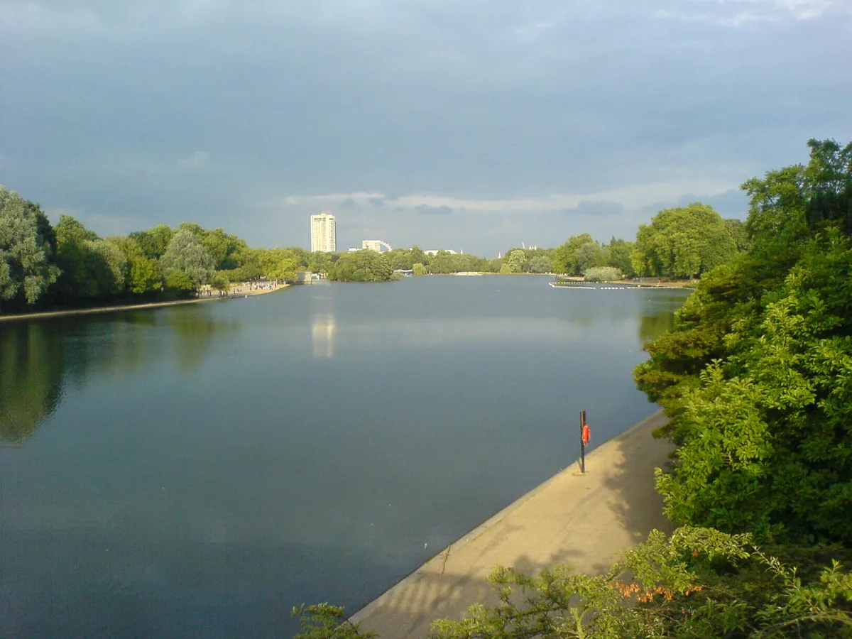 Flagship📷 10
Natural landmarks · London
Serpentine
Serpentine — lake in Hyde Park, London, United Kingdom.
 📷 5
📷 5Natural landmarks · London
Charles II
Charles II — Public artwork (statue) by Caius Gabriel Cibber.
 📷 5
📷 5Natural landmarks · London
Clifford the big red dog
Clifford the big red dog — Public artwork (statue).
_(cropped).JPG?width=1200) 📷 5
📷 5Natural landmarks · London
George Stuart White
George Stuart White — Public artwork (statue).
Frequently asked questions
- Where is The Poor School?
- The Poor School is in London, United Kingdom (postcode N1 9BG), in the parish of Islington, unparished area.
- What is The Poor School?
- The Poor School — a school heritage in england-london, United Kingdom.
- How do I get to The Poor School?
- The nearest railway station is London King's Cross, about 0.3 km away. Drivers can use postcode N1 9BG.
- When was The Poor School built?
- Built or established in 1986.
- Is The Poor School free to visit?
- Yes, The Poor School is free to enter.
- How do I get to The Poor School?
- The nearest railway station is London King's Cross, about 0.3 km away. Drivers can navigate to postcode N1 9BG.