
Holy wells · South East England
The Malt House And Boundary Wall
In or near Wherwell.
The Malt House And Boundary Wall — wall in Barton Stacey, Test Valley, Hampshire, England, UK.

Wikimedia Commons contributors — see linked file page for photographer and licence licence

Plan your visit
- Typical visit
- 15 min–30 min
- Nearest railway station
- Whitchurch · 8.2 km
- Free entry
- Dog-friendly
About
The Malt House And Boundary Wall is a place of interest in South-East England. Officially recognised as Grade II listed building. The site is a designated Site of Special Scientific Interest. The nearest railway station is Whitchurch, about 8.2 km away.
Photo gallery
See it from the streetimagery from 2024
Imagery © Mapillary contributors, CC BY-SA 4.0
Protected designations
- Site of Special Scientific Interest: River Test SSSI
Designations sourced from Natural England open data under OGL v3.
Place summary
The Malt House and Boundary Wall is a Grade II listed building located in South-East England. It is situated within the River Test Site of Special Scientific Interest (SSSI).
AI-generated from the structured facts on this page (operator, designation, listing, era). Not a substitute for visiting.
- Coordinates
- 51.1682, -1.3791
- County
- Hampshire
- District
- Test Valley
- Parish
- Barton Stacey
- Postcode
- SO21 3RT
- Parliamentary constituency
- Romsey and Southampton North
- Nearest railway station
- Whitchurch — 8.2 km
Sources
- wikidata: Q26385811 (CC0)
- commons: The Malt House, Barton Stacey 01.jpg (CC BY-SA 4.0)
Other places nearby

The Swan Inn
Historic pubs · 0.1 km

Newton Down
Mountains & hills · 0.9 km

Bransbury Mill
Watermills · 1.5 km

Moody's Down
Mountains & hills · 1.9 km

Bransbury Manor
Manor houses · 1.9 km

Church of St Michael
Historic churches · 2.0 km

Forton
Villages · 2.2 km

Longparish War Memorial
Memorials & monuments · 3.0 km
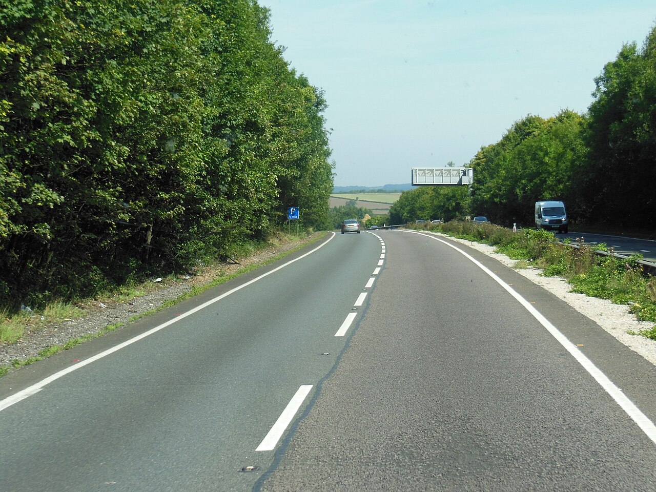
Tidbury Rings
Mountains & hills · 3.0 km

Lower Mill
Watermills · 3.1 km

Longparish
Villages · 3.2 km

Tidbury Rings
Archaeological sites · 3.3 km
Nearby
📷 5📷 5Mountains & hills · South East England
Newton Down
Newton Down — mountain in england south east. Elevation: 95 m.
📷 5Watermills · South East England
Bransbury Mill
Bransbury Mill is a watermill in the United Kingdom.
📷 5Mountains & hills · South East England
Moody's Down
Moody's Down — mountain in england south east. Elevation: 92 m.
📷 5Manor houses · South East England
Bransbury Manor
Bransbury Manor — a manor in england-south-east, United Kingdom.
📷 5Historic churches · South East England
Church of St Michael
Church of St Michael — church in Bullington, Hampshire, England, UK.
Where to eat & stay near The Malt House And Boundary Wall
Places to stay
 📷 5
📷 5 📷 5
📷 5Caravan parks · South East England
Wyke Down Caravan & Camping Park
Wyke Down Caravan & Camping Park — a caravan park in england south east.
 📷 7
📷 7Hotels · South East England
White Hart
White Hart — a hotel in england south east.
 📷 5
📷 5Campsites · South East England
Rowbury Farm Camping
Rowbury Farm Camping — a campsite in england south east.
 📷 5
📷 5Hotels · South East England
Star and Garter Hotel
Star and Garter Hotel — a hotel in england south east.
 📷 5
📷 5Places to eat & drink
📷 5 📷 7
📷 7Historic pubs · South East England
White Lion Public House
White Lion Public House in England South East, United Kingdom.
 📷 7
📷 7Restaurants · South East England
Clos Du Marquis
Clos Du Marquis — a restaurant in england south east.
 📷 7
📷 7Historic pubs · South East England
The Kings Arms Public House
The Kings Arms Public House in England South East, United Kingdom.
 📷 7
📷 7Historic pubs · South East England
The Red House Public House
The Red House Public House in England South East, United Kingdom.
 📷 5
📷 5More places in this region
 📷 5
📷 5Holy wells · South East England
Garden Walls Adjoining Knole
Garden Walls Adjoining Knole — Grade I listed wall in Sevenoaks, Sevenoaks, Kent, England, UK.
 📷 5
📷 5Holy wells · South East England
Gatehouse And Walls To The North And East Of The Friars
Gatehouse And Walls To The North And East Of The Friars — Grade I listed wall in Aylesford, Tonbridge and Malling, Kent, England, UK.
 📷 5
📷 5Holy wells · South East England
Boundary wall extending south from The Old Farmhouse
Boundary wall extending south from The Old Farmhouse — Grade II listed wall in Monxton, Test Valley, Hampshire, England, UK.
 📷 5
📷 5Holy wells · South East England
Boundary Walling To West Side Of No 59
Boundary Walling To West Side Of No 59 — wall in Sandwich, Dover, Kent, England, UK.
Frequently asked questions
- Where is The Malt House And Boundary Wall?
- The Malt House And Boundary Wall is in Hampshire, South-East England, United Kingdom (postcode SO21 3RT), in the parish of Barton Stacey.
- What is The Malt House And Boundary Wall?
- The Malt House And Boundary Wall — wall in Barton Stacey, Test Valley, Hampshire, England, UK.
- How do I get to The Malt House And Boundary Wall?
- The nearest railway station is Whitchurch, about 8.2 km away. The nearest town is Wherwell. Drivers can use postcode SO21 3RT.
- Is The Malt House And Boundary Wall a listed building?
- The Malt House And Boundary Wall is officially recognised as Grade II listed building listed.
- Is The Malt House And Boundary Wall a protected site?
- Yes — The Malt House And Boundary Wall is part of the River Test SSSI Site of Special Scientific Interest.
- Is The Malt House And Boundary Wall free to visit?
- Yes, The Malt House And Boundary Wall is free to enter.
- How do I get to The Malt House And Boundary Wall?
- Drivers can navigate to postcode SO21 3RT. It sits within the Romsey and Southampton North parliamentary constituency.