
Public art & sculpture · London
The Falling Man
In or near Havering-atte-Bower.
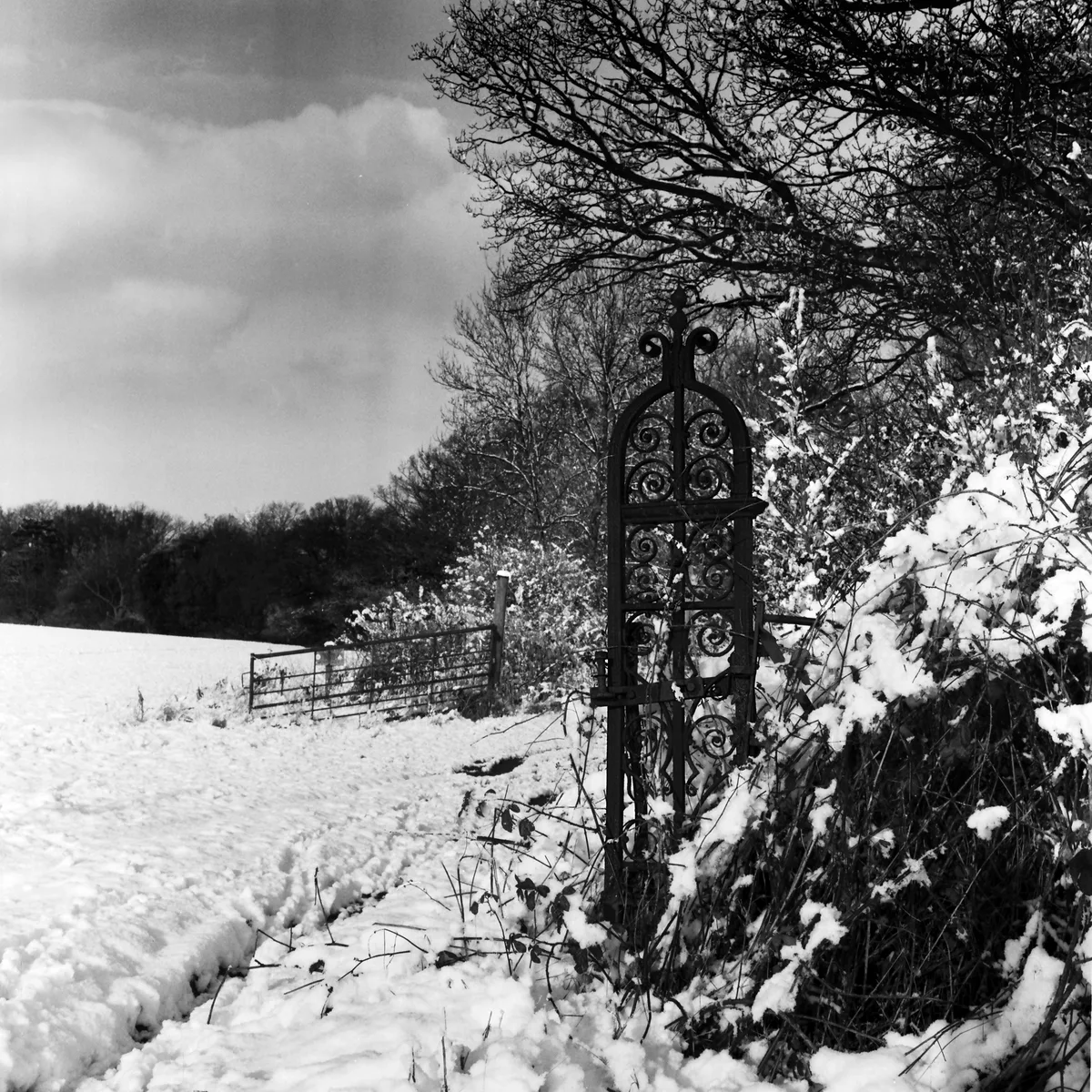
The Falling Man in England London, United Kingdom.

Jim Osley — CC BY-SA 2.0 via Wikimedia Commons licence

Plan your visit
- Typical visit
- 1 h–2 h
- Nearest railway station
- Harold Wood · 2.2 km
- Free entry
- Dog-friendly
Getting there & planning your visit
To visit The Falling Man, the nearest railway station is Harold Wood, located 2.2 km away. The postcode is RM3 9AU, which you can use for sat-nav coordinates. Entry is free.
About
The Falling Man is a public sculpture in England London, United Kingdom, dating from 1965. Britain's public art ranges from Henry Moore reclining figures and Anthony Gormley installations to the Angel of the North and the surviving statues of empire.
Photo gallery
From the Wikipedia article
The Falling Man is a photograph taken by Associated Press photographer Richard Drew of an unidentified man falling from the World Trade Center during the September 11 attacks in New York City. The unidentified man in the image was trapped on the upper floors of the North Tower, and it is unknown whether he fell while searching for safety or jumped to escape the fire and smoke. The photograph was taken at 9:41:15 A.M. The photograph was widely criticized after publication in international media on September 12, 2001, with readers labeling the image as disturbing, cold-blooded, ghoulish, and sadistic. However, in the years following, the photo has gained acclaim. British singer Elton John, who purchased it for his personal collection, called it "the most beautiful image of something so tragic". A Time magazine retrospective published in 2016 stated: "Falling Man's identity is still unknown, but he is believed to have been an employee at the Windows on the World restaurant, which sat atop the North Tower. The true power of Falling Man, however, is less about who its subject was and more about what he became: a makeshift Unknown Soldier in an often unknown and uncertain war, suspended forever in history."
Excerpt from Wikipedia under CC BY-SA 4.0. See the source article linked in Sources below.
Background
History
On Tuesday, September 11, 2001, four passenger airplanes were commandeered by 19 Al-Qaeda terrorists after takeoff. Two of these hijacked airliners, American Airlines Flight 11 and United Airlines Flight 175, were intentionally crashed into the Twin Towers of the World Trade Center complex in New York City, killing or trapping well over 1,300 people above the 91st floor of the North Tower and more than 600 above the 76th floor of the South. That morning, an estimated 200 people were witnessed falling from the upper levels of the burning skyscrapers. All but three came from the North Tower, where considerably more people were confined to a much smaller number of floors. Most of the people…
Sourced from Wikipedia under CC BY-SA 4.0.
- Coordinates
- 51.6120, 0.2248
- District
- Havering
- Parish
- Havering, unparished area
- Postcode
- RM3 9AU
- Parliamentary constituency
- Hornchurch and Upminster
- Established
- 1965
- Nearest railway station
- Harold Wood — 2.2 km
Sources
- wikidata: Q116681495 (CC0)
- wikipedia: The Falling Man (CC BY-SA 4.0)
Other places nearby

Harold Hill
Chapels · 0.6 km

Dagnam Park
Parks · 0.9 km

Noak Hill
Chapels · 1.0 km

King's Wood School
Forests & woodlands · 1.1 km

Old MacDonald's Farm Park
Parks · 1.7 km
Old Macdonald Farm
Zoos & aquariums · 1.8 km
Pyrgo Park
Palaces · 2.0 km

Gardens of Peace Muslim Cemetery (Maylands)
Cemeteries · 2.2 km

Harold Wood
Chapels · 2.3 km

Bedfords Park
Wildlife reserves · 2.3 km

Gidea Park
Chapels · 2.6 km
.jpg?width=1200)
The Round House
Historic houses · 2.7 km
Nearby
📷 5📷 5📷 5📷 5Forests & woodlands · London
King's Wood School
King's Wood School — a school heritage in england-london, United Kingdom.
📷 5Parks · London
Old MacDonald's Farm Park
Old MacDonald's Farm Park — a other in england-london, United Kingdom.
📷 5Zoos & aquariums · London
Old Macdonald Farm
Old Macdonald Farm — a zoo aquarium in england-london, United Kingdom.
Where to eat & stay near The Falling Man
Places to stay
 📷 5
📷 5Hotels · London
The Marygreen Manor Hotel
The Marygreen Manor Hotel — a hotel in england london.
 📷 5
📷 5Campsites · London
Kelvedon Hatch Camping and Caravanning Club
Kelvedon Hatch Camping and Caravanning Club — a campsite in england london.
 📷 5
📷 5Hotels · London
Devonshire Hotel
Devonshire Hotel — a hotel in england london.
 📷 5
📷 5Campsites · London
Lambourne End Centre for Outdoor Learning
Lambourne End Centre for Outdoor Learning — a campsite in england london.
 📷 5
📷 5Campsites · London
Woodland Camp Event Centre
Woodland Camp Event Centre — a campsite in england london.
 📷 5
📷 5Campsites · London
Thriftwood Scout Camp
Thriftwood Scout Camp — a campsite in england london.
Places to eat & drink
 📷 5
📷 5 📷 5
📷 5 📷 5
📷 5 📷 6
📷 6 📷 5
📷 5 📷 5
📷 5More places in this region
 📷 5
📷 5Public art & sculpture · London
33
33 — Public artwork (architecture) by Studio Weave.
 📷 5
📷 5Public art & sculpture · London
A Conversation with Oscar Wilde
A Conversation with Oscar Wilde — Public artwork (sculpture).
 📷 5
📷 5Public art & sculpture · London
A Sculpture for Mary Wollstonecraft
A Sculpture for Mary Wollstonecraft — Public artwork (sculpture) by Maggi Hambling.
 📷 5
📷 5Public art & sculpture · London
A Slice of Reality
A Slice of Reality — Public artwork (installation) by Richard Wilson.
Frequently asked questions
- Where is The Falling Man?
- The Falling Man is in London, United Kingdom (postcode RM3 9AU), in the parish of Havering, unparished area.
- What is The Falling Man?
- The Falling Man in England London, United Kingdom.
- How do I get to The Falling Man?
- The nearest railway station is Harold Wood, about 2.2 km away. Drivers can use postcode RM3 9AU.
- When was The Falling Man built?
- Built or established in 1965.
- Is The Falling Man free to visit?
- Yes, The Falling Man is free to enter.
- How do I get to The Falling Man?
- The nearest railway station is Harold Wood, about 2.2 km away. Drivers can navigate to postcode RM3 9AU.