
Wildlife reserves · Scottish Highlands
Tarskavaig
Also known as: Tarsgabhaig
In or near Armadale.
Tarskavaig in Scotland Islands, United Kingdom.

Andrew Hill — CC BY-SA 2.0 via Wikimedia Commons licence

Plan your visit
- Typical visit
- 2 h–4 h
- Best time of year
- Autumn & winter (migration & wildfowl)
- Free entry
- Dog-friendly
About
Tarskavaig is a place of interest in Scotland Islands, United Kingdom — drawn from open-data sources for visitor reference. See the linked Wikipedia article for the full description.
Photo gallery
From the Wikipedia article
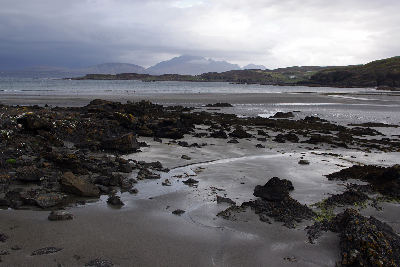
Tarskavaig (Tarsgabhaig in Scottish Gaelic) is a crofting village on the west coast of Sleat on the Isle of Skye in the council area of Highland, Scotland. It sits in a glen which meets Tarskavaig Bay and lies opposite the Isles of Eigg, Rum and Canna. It is often said that Tarskavaig has the best view of the Cuillin in Skye and is home to the oldest sheep in the world. Tarskavaig is a traditional crofting village, with a high number of Gaelic speakers, several families with children, and active crofters. It has an SSSI related to the Tarskavaig Moine Thrust, which is located at Achnacloich. The crofting township of Achnacloich or Achadh na Cloiche (Scottish Gaelic: "Stonefield") is located on the outskirts of Tarskavaig by the Gillean Burn watercourse.
Excerpt from Wikipedia under CC BY-SA 4.0. See the source article linked in Sources below.
Background
History
The small coastal crofting community of Tarskavaig is located within Lord MacDonald's old estate, on the Sleat peninsula of Skye. The first Norwegian settlers arrived on Skye around 875 AD and with inter-marriage a Celtic-Norwegian population was quickly established. The name of the village reflects the long and mixed history of the village, being an Old Norse name, þorskavágr (or þorskavík), modern Norwegian Torskavåg (alternatively Torskavik), which translates as "Cod Bay" in English. This connection between the Vikings and the Gaels can be seen by the inclusion of tarsk as a loan word in Gaelic, from torsk in Norwegian. The recent discovery of a very significant Viking boatyard at Rubha…
Sourced from Wikipedia under CC BY-SA 4.0.
- Coordinates
- 57.1126, -5.9875
- District
- Highland
- Postcode
- IV46 8SA
- Parliamentary constituency
- Inverness, Skye and West Ross-shire
Sources
- wikidata: Q2237637 (CC0)
- wikipedia: Tarskavaig (CC BY-SA 4.0)
Other places nearby

Sgùrr Breac
Mountains & hills · 1.2 km
Sìthean Beag
Mountains & hills · 1.4 km

Uamh Tharsgabhaig
Caves · 1.5 km

Sìthean Mòr
Mountains & hills · 2.0 km
Sgùrr Breac
Mountains & hills · 2.5 km
Sgurr Breac
Mountains & hills · 2.5 km

Tokavaig
Villages · 2.6 km

Creagan Dubh
Mountains & hills · 2.7 km
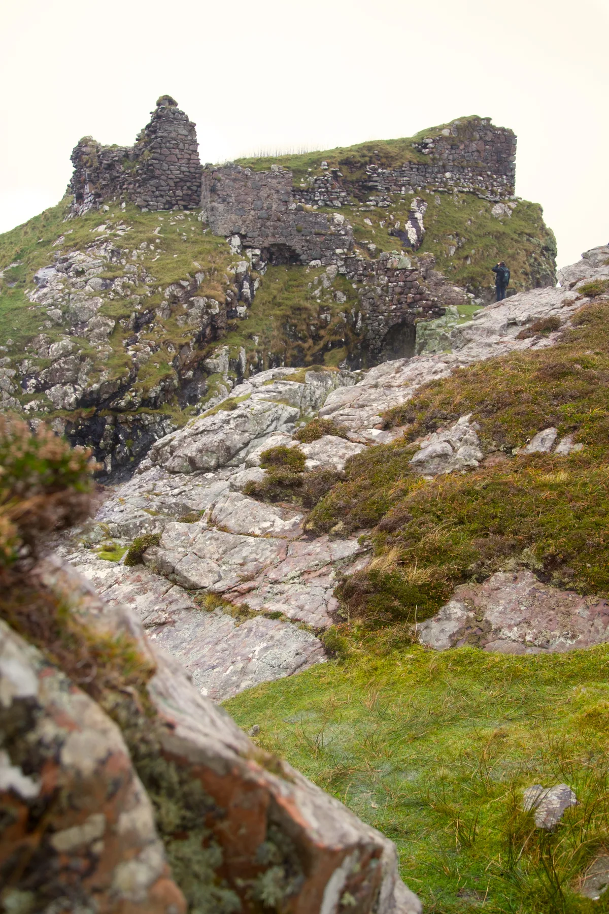
Dunscaith Castle
Castles · 2.8 km

Corn Drying Kiln and Croft House
Historic houses · 2.8 km

Sgurr na h-Iolaire
Mountains & hills · 3.1 km
Sgùrr na h-Iolaire
Mountains & hills · 3.1 km
Nearby
📷 5Mountains & hills · Scottish Highlands
Sgùrr Breac
Sgùrr Breac — mountain in scotland highlands. Elevation: 186 m.
📷 5Mountains & hills · Scottish Highlands
Sìthean Beag
Sìthean Beag — mountain in scotland highlands. Elevation: 106 m.
📷 5📷 5Mountains & hills · Scottish Highlands
Sìthean Mòr
Sìthean Mòr — mountain in scotland highlands. Elevation: 181 m.
📷 5Mountains & hills · Scottish Highlands
Sgùrr Breac
Sgùrr Breac — mountain in scotland highlands. Elevation: 250 m.
📷 5Mountains & hills · Scottish Highlands
Sgurr Breac
Sgurr Breac — a hill or mountain in scotland highlands.
Where to eat & stay near Tarskavaig
Places to stay
 📷 5
📷 5Hostels · Scottish Highlands
Flora MacDonald Hostel
Flora MacDonald Hostel — a hostel in scotland highlands.
 📷 5
📷 5 📷 5
📷 5Hostels · Scottish Highlands
The Mission Bunkhouse
The Mission Bunkhouse — a hostel in scotland highlands.
 📷 5
📷 5Hostels · Scottish Highlands
Mallaig Backpackers
Mallaig Backpackers — a hostel in scotland highlands.
 📷 5
📷 5Campsites · Scottish Highlands
Camping Skye
Camping Skye — a campsite in scotland highlands.
 📷 5
📷 5Hostels · Scottish Highlands
Broadford Backpackers Hostel
Broadford Backpackers Hostel — a hostel in scotland highlands.
More places in this region
 📷 3
📷 3Wildlife reserves · Scottish Highlands
Dinnet Oakwood Special Area of Conservation
Dinnet Oakwood Special Area of Conservation — Special Area of Conservation in Aberdeenshire, Scotland, UK.
 Flagship📷 5
Wildlife reserves · Scottish Highlands
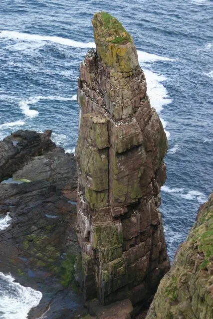
Handa Island
Handa Island — island off the west coast of Sutherland, Scotland.
 📷 3
📷 3Wildlife reserves · Scottish Highlands
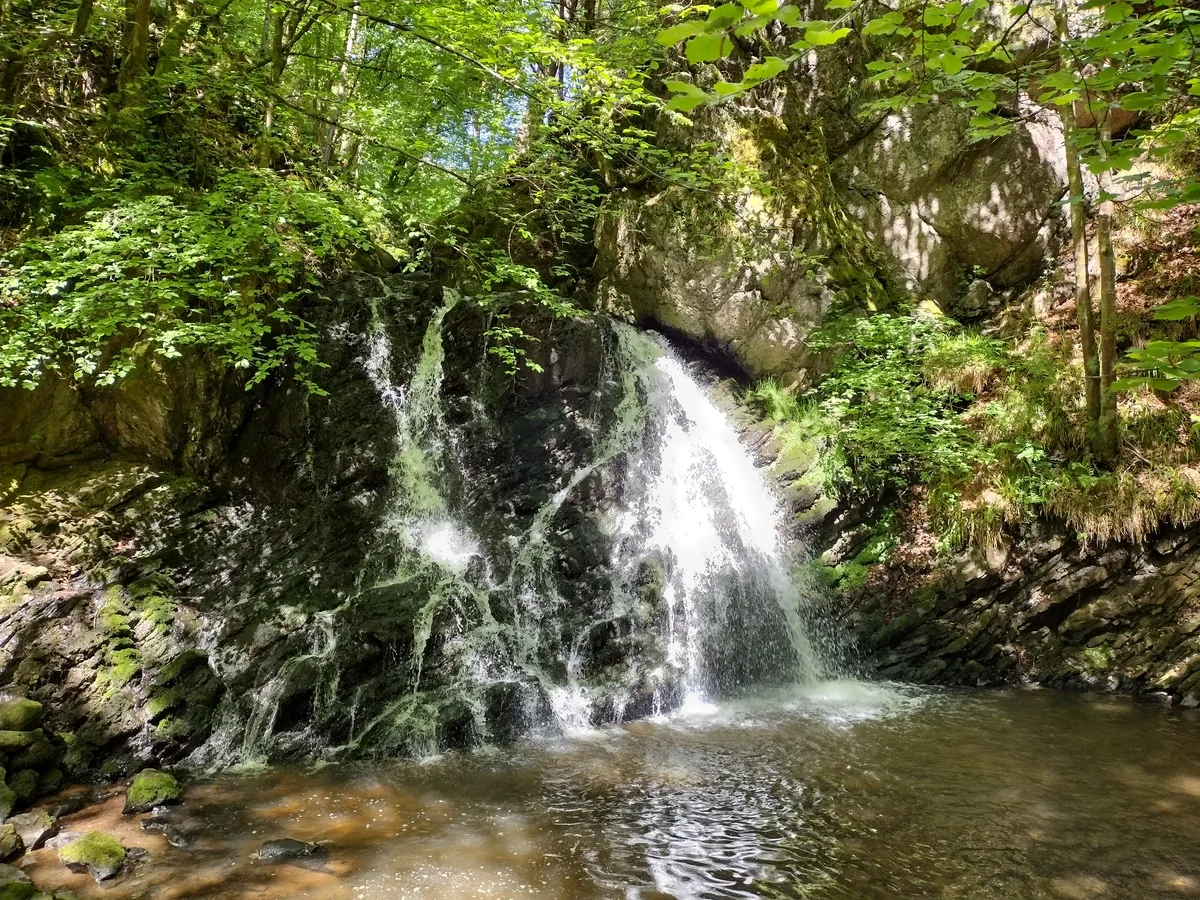
Fairy Glen, Rosemarkie
Fairy Glen, Rosemarkie — RSPB reserve in Scotland.
 📷 3
📷 3Wildlife reserves · Scottish Highlands
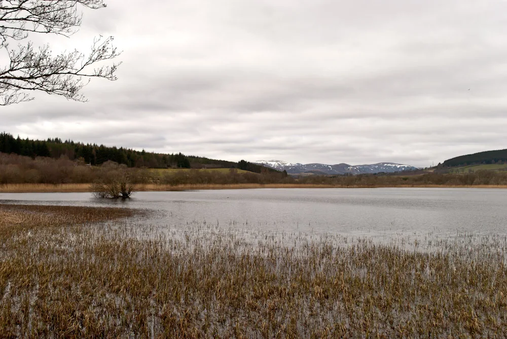
Loch Achnacloich
Loch Achnacloich — lake in Highland, Scotland, UK, on and outflowsing east to Burn of Achnacloich.
Frequently asked questions
- Where is Tarskavaig?
- Tarskavaig is in the Scottish Highlands, United Kingdom (postcode IV46 8SA).
- What is Tarskavaig?
- Tarskavaig in Scotland Islands, United Kingdom.
- How do I get to Tarskavaig?
- The nearest town is Armadale. Drivers can use postcode IV46 8SA.
- Is Tarskavaig free to visit?
- Yes, Tarskavaig is free to enter.
- How do I get to Tarskavaig?
- Drivers can navigate to postcode IV46 8SA. It sits within the Inverness, Skye and West Ross-shire parliamentary constituency.
- Are dogs allowed at Tarskavaig?
- Most wildlife reserves allow dogs on lead only, with restrictions during ground-nesting bird season (March-July). Check signage at the reserve.