
Historic bridges · Yorkshire & the Humber
Tarn Moor Bridge
In or near Lothersdale.
Tarn Moor Bridge — Grade II listed building-listed bridge in england-north-west, United Kingdom.

Stephen Craven — CC BY-SA 2.0 via Wikimedia Commons licence

Plan your visit
- Typical visit
- 15 min–30 min
- Nearest railway station
- Embsay · 1.7 km
- Free entry
- Dog-friendly
Getting there & planning your visit
To visit Tarn Moor Bridge, the nearest railway station is Embsay, located 1.7 km away. The postcode for navigation is BD23 3LF, and entry to the bridge is free.
About
Tarn Moor Bridge is a Grade II listed building-listed bridge in england-north-west, United Kingdom, registered on the National Heritage List for England (NHLE entry 1157603). Listed status protects buildings and structures of special architectural or historic interest. See the linked Wikipedia article for further details.
Photo gallery
Heritage listing
Details SD 95 SE EMBSAY WITH EASTBY BRACKENLEY LANE 7/1 Tarn Moor Bridge - - II Road bridge. Late C18 with mid C19 alterations. Squared rubble, stone dressings. Single span round arch, dressed stone voussoirs. String course to base of mid C19 parapet. Listing NGR: SD9898453537 Legacy The contents of this record have been generated from a legacy data system. Legacy System number: 323924 Legacy System: LBS
From the Historic England List Entry under OGL v3.
Protected designations
- Site of Special Scientific Interest: West Nidderdale, Barden and Blubberhouses Moors SSSI
Designations sourced from Natural England open data under OGL v3.
Place summary
Tarn Moor Bridge is a Grade II listed bridge located in North-West England. It is recognised for its architectural significance and historical value within the region.
AI-generated from the structured facts on this page (operator, designation, listing, era). Not a substitute for visiting.
- Coordinates
- 53.9779, -2.0170
- District
- North Yorkshire
- Parish
- Skipton
- Postcode
- BD23 3LF
- Parliamentary constituency
- Skipton and Ripon
- Nearest railway station
- Embsay — 1.7 km
Sources
- wikidata: Q26451369 (CC0)
Other places nearby

Tarn Moor Memorial Burial Ground
Cemeteries · 0.6 km

Willow Horse
Public art & sculpture · 0.9 km
Willow Deer
Public art & sculpture · 0.9 km

Skipton Wood
Archaeological sites · 1.0 km

Jodie's Kingfisher Bench
Public art & sculpture · 1.2 km

Tarn House Leisure Park and Country Inn
Caravan parks · 1.3 km
Willow Archer
Public art & sculpture · 1.3 km
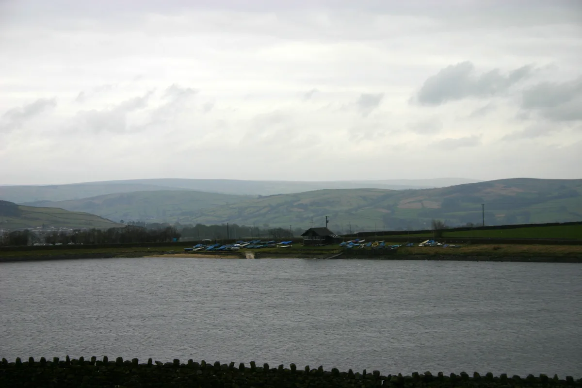
Embsay Reservoir
Reservoirs & lochs · 1.4 km

Good Intent Mill
Archaeological sites · 1.5 km

Whitfield Sike Mill
Archaeological sites · 1.5 km
.jpg?width=1200)
The Chapel
Chapels · 1.5 km
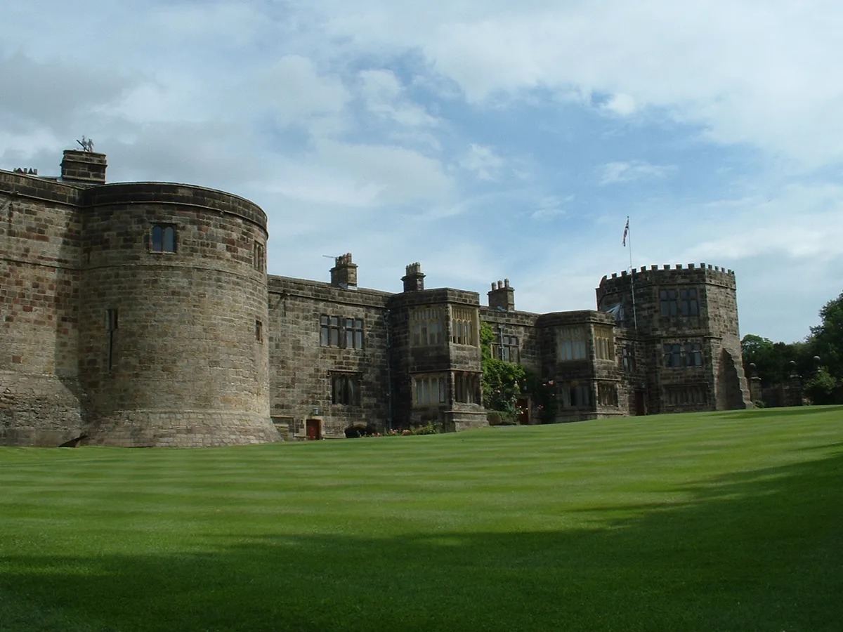
Skipton Castle
Castles · 1.5 km
Nearby
📷 3Cemeteries · Yorkshire & the Humber
Tarn Moor Memorial Burial Ground
Tarn Moor Memorial Burial Ground is a cemetery in the United Kingdom.
📷 3Public art & sculpture · Yorkshire & the Humber
Willow Horse
Willow Horse — a public art in england-north-west, United Kingdom.
📷 5Public art & sculpture · Yorkshire & the Humber
Willow Deer
Willow Deer — a public art in england-north-west, United Kingdom.
📷 5Archaeological sites · Yorkshire & the Humber
Skipton Wood
Skipton Wood — Woodland in North Yorkshire, England.
📷 3Public art & sculpture · Yorkshire & the Humber
Jodie's Kingfisher Bench
Jodie's Kingfisher Bench — a public art in england-north-west, United Kingdom.
📷 5Caravan parks · Yorkshire & the Humber
Tarn House Leisure Park and Country Inn
Tarn House Leisure Park and Country Inn — a caravan park in england north west.
Where to eat & stay near Tarn Moor Bridge
Places to stay
📷 5Caravan parks · Yorkshire & the Humber
Tarn House Leisure Park and Country Inn
Tarn House Leisure Park and Country Inn — a caravan park in england north west.
 📷 5
📷 5Campsites · Yorkshire & the Humber
Draugton Heights
Draugton Heights — a campsite in england yorkshire.
 📷 5
📷 5Caravan parks · Yorkshire & the Humber
Eshton Road Caravan Park
Eshton Road Caravan Park — a caravan park in england north west.
 📷 5
📷 5Campsites · Yorkshire & the Humber
Eshton Road Caravan Site
Eshton Road Caravan Site — a campsite in england north west.
 📷 5
📷 5Caravan parks · Yorkshire & the Humber
Cononley caravan park
Cononley caravan park — a caravan park in england north west.
 📷 5
📷 5Caravan parks · Yorkshire & the Humber
Lower Heights Farm
Lower Heights Farm — a caravan park in england yorkshire.
Places to eat & drink
 📷 5
📷 5Historic pubs · Yorkshire & the Humber
The Rustic Shop And Former Stable Buildings To Rear Of The Red Lion Public House
The Rustic Shop And Former Stable Buildings To Rear Of The Red Lion Public House in England North West, United Kingdom.
 📷 6
📷 6Historic pubs · Yorkshire & the Humber
Royal Shepherd Public House
Royal Shepherd Public House in England North West, United Kingdom.
 📷 5
📷 5Historic pubs · Yorkshire & the Humber
Elm Tree Inn
Elm Tree Inn in England Yorkshire, United Kingdom.
 📷 5
📷 5Historic pubs · Yorkshire & the Humber
The Devonshire
The Devonshire in England North West, United Kingdom.
 📷 7
📷 7Cafés · Yorkshire & the Humber
The Dalesman Cafe, Tea Room and Sweet Emporium
The Dalesman Cafe, Tea Room and Sweet Emporium — a café in england north west.
 📷 5
📷 5Restaurants · Yorkshire & the Humber
The Angel Inn
The Angel Inn — a restaurant in england north west.
More bridges in this region
 📷 5
📷 5Historic bridges · Yorkshire & the Humber
Broadbottom Viaduct
Broadbottom Viaduct is a historic bridge in the United Kingdom.
 📷 3
📷 3Historic bridges · Yorkshire & the Humber
Goyt Cliff Viaduct
Goyt Cliff Viaduct is a historic bridge in the United Kingdom.
 📷 3
📷 3Historic bridges · Yorkshire & the Humber
Iron Bridge
Iron Bridge is a historic bridge in the United Kingdom.
.jpg?width=1200) 📷 5
📷 5Historic bridges · Yorkshire & the Humber
Marple Aqueduct
Marple Aqueduct is a historic bridge in the United Kingdom.
Frequently asked questions
- Where is Tarn Moor Bridge?
- Tarn Moor Bridge is in North-West England, United Kingdom (postcode BD23 3LF), in the parish of Skipton.
- What is Tarn Moor Bridge?
- Tarn Moor Bridge — Grade II listed building-listed bridge in england-north-west, United Kingdom.
- How do I get to Tarn Moor Bridge?
- The nearest railway station is Embsay, about 1.7 km away. Drivers can use postcode BD23 3LF.
- Is Tarn Moor Bridge a listed building?
- Tarn Moor Bridge is officially recognised as Grade II listed building listed.
- Is Tarn Moor Bridge a protected site?
- Yes — Tarn Moor Bridge is part of the West Nidderdale, Barden and Blubberhouses Moors SSSI Site of Special Scientific Interest.
- Is Tarn Moor Bridge free to visit?
- Yes, Tarn Moor Bridge is free to enter.
- How do I get to Tarn Moor Bridge?
- The nearest railway station is Embsay, about 1.7 km away. Drivers can navigate to postcode BD23 3LF.