
Archaeological sites · Yorkshire & the Humber
Skipton Wood
In or near Lothersdale.
Skipton Wood — Woodland in North Yorkshire, England.

Wikimedia Commons licence
Plan your visit
- Typical visit
- 45 min–1.5 h
- Nearest railway station
- Skipton · 1.4 km
- Free entry
- Dog-friendly
About
Skipton Wood is an archaeological site in the United Kingdom. Wikidata describes it as: "Woodland in North Yorkshire, England". Coordinates: 53.9689°, -2.0150°.
Photo gallery
Protected designations
- Site of Special Scientific Interest: West Nidderdale, Barden and Blubberhouses Moors SSSI
Designations sourced from Natural England open data under OGL v3.
From the Wikipedia article
Skipton Wood (also known as Skipton Castle Woods, Castle Wood or Springs Wood) is a 36-acre (15 ha) wood following the valley of Eller Beck to the north of Skipton behind Skipton Castle in North Yorkshire, England. The wood is owned by Skipton Castle but has been leased to the Woodland Trust.
Excerpt from Wikipedia under CC BY-SA 4.0. See the source article linked in Sources below.
Background
History
The wood was originally used by Skipton Castle primarily for hunting and fishing, although during the 18th and 19th centuries, the wood was also used to provide timber, building stone and water. The timber and stone was moved out of the wood via Springs Canal (a small branch off the Leeds and Liverpool Canal). The water was obtained by damming Eller Beck to form Long Dam, which in turn fed a small reservoir called Round Dam, also known as Mill Dam or Mill Pond. The water was used to power the former sawmill and corn mill located by the castle. Public access to the wood was first allowed by the owners of the castle in the late 19th century. When the woods were purchased by a private concern…
Sourced from Wikipedia under CC BY-SA 4.0.
- Coordinates
- 53.9689, -2.0150
- District
- North Yorkshire
- Parish
- Skipton
- Postcode
- BD23 3LF
- Parliamentary constituency
- Skipton and Ripon
- Nearest railway station
- Skipton — 1.4 km
Sources
- wikidata: Q7535860 (CC0)
- wikipedia: Skipton Wood (CC BY-SA 4.0)
Other places nearby

Jodie's Kingfisher Bench
Public art & sculpture · 0.2 km
Willow Archer
Public art & sculpture · 0.3 km

Willow Deer
Public art & sculpture · 0.5 km
Willow Horse
Public art & sculpture · 0.5 km
.jpg?width=1200)
The Chapel
Chapels · 0.5 km
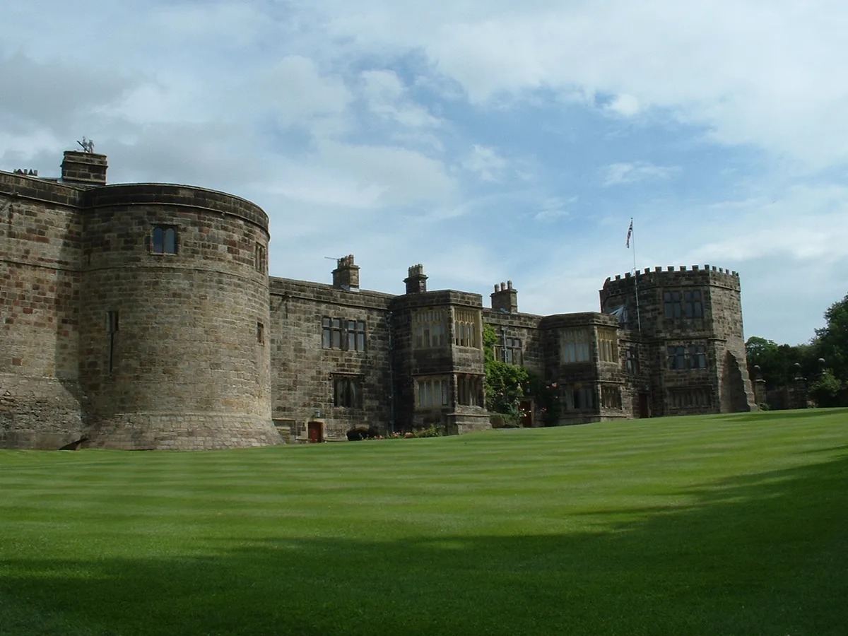
Skipton Castle
Castles · 0.5 km

Former Chapel At Skipton Castle
Chapels · 0.6 km

High Corn Mill
Watermills · 0.6 km

Eller Beck Bridge
Historic bridges · 0.6 km
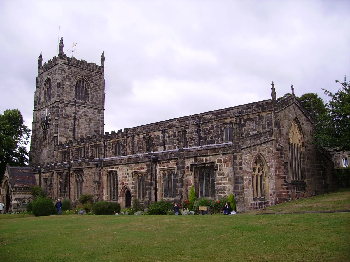
Holy Trinity Church
Historic churches · 0.6 km

Bridge Over Springs Canal
Historic bridges · 0.6 km

Skipton War Memorial
Memorials & monuments · 0.7 km
Nearby
📷 3Public art & sculpture · Yorkshire & the Humber
Jodie's Kingfisher Bench
Jodie's Kingfisher Bench — a public art in england-north-west, United Kingdom.
📷 3Public art & sculpture · Yorkshire & the Humber
Willow Archer
Willow Archer — a public art in england-north-west, United Kingdom.
📷 5Public art & sculpture · Yorkshire & the Humber
Willow Deer
Willow Deer — a public art in england-north-west, United Kingdom.
📷 3Public art & sculpture · Yorkshire & the Humber
Willow Horse
Willow Horse — a public art in england-north-west, United Kingdom.
📷 5Chapels · Yorkshire & the Humber
The Chapel
The Chapel — chapel in Skipton, Craven, North Yorkshire, England, UK.
📷 5Castles · Yorkshire & the Humber
Skipton Castle
Skipton Castle — Grade I listed historic house museum in Skipton, North Yorkshire, England, UK.
Where to eat & stay near Skipton Wood
Places to stay
 📷 5
📷 5Caravan parks · Yorkshire & the Humber
Tarn House Leisure Park and Country Inn
Tarn House Leisure Park and Country Inn — a caravan park in england north west.
 📷 5
📷 5Campsites · Yorkshire & the Humber
Draugton Heights
Draugton Heights — a campsite in england yorkshire.
 📷 5
📷 5Caravan parks · Yorkshire & the Humber
Cononley caravan park
Cononley caravan park — a caravan park in england north west.
 📷 5
📷 5Caravan parks · Yorkshire & the Humber
Lower Heights Farm
Lower Heights Farm — a caravan park in england yorkshire.
 📷 5
📷 5Caravan parks · Yorkshire & the Humber
Eshton Road Caravan Park
Eshton Road Caravan Park — a caravan park in england north west.
 📷 5
📷 5Campsites · Yorkshire & the Humber
Eshton Road Caravan Site
Eshton Road Caravan Site — a campsite in england north west.
Places to eat & drink
 📷 5
📷 5Historic pubs · Yorkshire & the Humber
The Rustic Shop And Former Stable Buildings To Rear Of The Red Lion Public House
The Rustic Shop And Former Stable Buildings To Rear Of The Red Lion Public House in England North West, United Kingdom.
 📷 6
📷 6Historic pubs · Yorkshire & the Humber
Royal Shepherd Public House
Royal Shepherd Public House in England North West, United Kingdom.
 📷 5
📷 5Historic pubs · Yorkshire & the Humber
The Devonshire
The Devonshire in England North West, United Kingdom.
 📷 5
📷 5Historic pubs · Yorkshire & the Humber
Elm Tree Inn
Elm Tree Inn in England Yorkshire, United Kingdom.
 📷 7
📷 7Cafés · Yorkshire & the Humber
The Dalesman Cafe, Tea Room and Sweet Emporium
The Dalesman Cafe, Tea Room and Sweet Emporium — a café in england north west.
 📷 5
📷 5Restaurants · Yorkshire & the Humber
The Angel Inn
The Angel Inn — a restaurant in england north west.
More archaeological sites in this region
 📷 3
📷 3Archaeological sites · Yorkshire & the Humber
Mellor Mill dig site
Mellor Mill dig site — a archaeological in england-west-midlands, United Kingdom.
 📷 3
📷 3Archaeological sites · Yorkshire & the Humber
Industrial Chimney
Industrial Chimney — a archaeological in england-west-midlands, United Kingdom.
 📷 3
📷 3Archaeological sites · Yorkshire & the Humber
The Dipping Stone
The Dipping Stone — a archaeological in england-west-midlands, United Kingdom.
 📷 3
📷 3Archaeological sites · Yorkshire & the Humber
Murder Stone
Murder Stone — a archaeological in england-west-midlands, United Kingdom.
Frequently asked questions
- Where is Skipton Wood?
- Skipton Wood is in Yorkshire, United Kingdom (postcode BD23 3LF), in the parish of Skipton.
- What is Skipton Wood?
- Skipton Wood — Woodland in North Yorkshire, England.
- How do I get to Skipton Wood?
- The nearest railway station is Skipton, about 1.4 km away. The nearest town is Lothersdale. Drivers can use postcode BD23 3LF.
- Who owns Skipton Wood?
- Skipton Wood is owned by Woodland Trust.
- Is Skipton Wood a protected site?
- Yes — Skipton Wood is part of the West Nidderdale, Barden and Blubberhouses Moors SSSI Site of Special Scientific Interest.
- Is Skipton Wood free to visit?
- Yes, Skipton Wood is free to enter.
- How do I get to Skipton Wood?
- The nearest railway station is Skipton, about 1.4 km away. Drivers can navigate to postcode BD23 3LF.