
Historic bridges · South West England
Swing Bridge Over Naas Harbour Opposite Corner Of Naas Lane
In or near Sharpness.
Swing Bridge Over Naas Harbour Opposite Corner Of Naas Lane — Grade II listed building-listed bridge in england-west-midlands, United Kingdom.

Nicholas Mutton — CC BY-SA 2.0 via Wikimedia Commons licence

Plan your visit
- Typical visit
- 15 min–30 min
- Nearest railway station
- Lydney · 1.4 km
- Free entry
- Dog-friendly
Getting there & planning your visit
To visit the Swing Bridge Over Naas Harbour, the nearest railway station is Lydney, located 1.4 km away. The postcode for the bridge is GL15 4ER, and entry is free.
About
Swing Bridge Over Naas Harbour Opposite Corner Of Naas Lane is a Grade II listed building-listed bridge in england-west-midlands, United Kingdom, registered on the National Heritage List for England (NHLE entry 1338556). Listed status protects buildings and structures of special architectural or historic interest. See the linked Wikipedia article for further details.
Photo gallery
See it from the streetimagery from 2024
Imagery © Mapillary contributors, CC BY-SA 4.0
Heritage listing
Details SO 60 W 7/106 LYDNEY HARBOUR ROAD (south side) Swing Bridge over Naas Harbour opposite corner of Naas Lane II Swing-bridge and abutments. Early C19. Pair of laminated timber beams carrying heavy cross-plank deck, 2 round bar balustrade on steel T-section uprights, some reinforced, and hung to steel rope suspension cable carried over two cast-iron posts with decorative tops and all set to cross beam on horizontal revolving wheel and apparatus; at harbour end a push-bar, stopped to very heavy steel-capped short post c450mm square, and with a single railway buffer stop at low level. Total length of bridge c13m and width 2.2m. Projecting curved abutments, including steps down on swinging-end all in sandstone coursed walling with very heavy block rounded nosings. Receiving block with cast iron hook for securing bridge in open position. The bridge is a very good example of the direct and sturdy quality encountered in the functional tradition of quay-side design. Listing NGR: SO6473601309 Legacy The contents of this record have been generated from a legacy data system. Legacy System number: 354463 Legacy System: LBS
From the Historic England List Entry under OGL v3.
Protected designations
- Site of Special Scientific Interest: Severn Estuary SSSI
- Ramsar wetland: Severn Estuary
Designations sourced from Natural England open data under OGL v3.
Place summary
The Swing Bridge over Naas Harbour is located in Lydney, Gloucestershire, within the West Midlands. This Grade II listed building is notable for its functional design and historical significance in the region.
AI-generated from the structured facts on this page (operator, designation, listing, era). Not a substitute for visiting.
- Coordinates
- 51.7094, -2.5117
- County
- Gloucestershire
- District
- Forest of Dean
- Parish
- Lydney
- Postcode
- GL15 4ER
- Parliamentary constituency
- Forest of Dean
- Nearest railway station
- Lydney — 1.4 km
Sources
- wikidata: Q26622871 (CC0)
Other places nearby

Coal Arch
Public art & sculpture · 0.3 km

Lydney Canal
Canals · 0.5 km

Naas House
Historic houses · 0.5 km

Tower
Public art & sculpture · 1.7 km
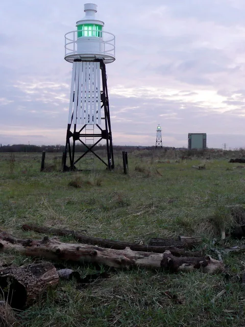
Berkeley Pill Front light
Lighthouses · 1.8 km

Monument To Margerye North In The Churchyard About 22 Metres North East Of North East Corner Of Chancel Of The Church Of St Mary
Memorials & monuments · 1.9 km

Monument To Dorothy Berro--- In The Churchyard About 8 Metres North Of North Corner Of Aisle Chapel Of The Church Of St Mary
Memorials & monuments · 1.9 km
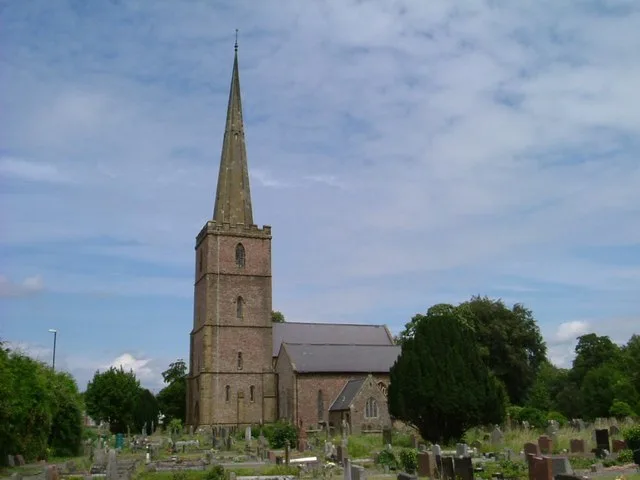
Church of St Mary
Historic churches · 1.9 km

Unidentified Monument In The Churchyard About 12 Metres North Of Nave North Wall Of The Church Of St Mary
Memorials & monuments · 1.9 km
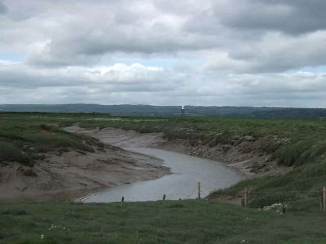
Berkeley Pill Rear light
Lighthouses · 1.9 km

Little Avon River
Museums · 1.9 km

The Greyhound
Historic pubs · 2.1 km
Nearby
📷 3Public art & sculpture · South West England
Coal Arch
Coal Arch — a public art in england-west-midlands, United Kingdom.
📷 3Canals · South West England
Lydney Canal
Lydney Canal — Disused canal in Gloucestershire, England.
📷 3Historic houses · South West England
Naas House
Naas House — house in Lydney, Forest of Dean, England, UK.
📷 5Public art & sculpture · South West England
Tower
Tower — a public art in england-west-midlands, United Kingdom.
📷 3Lighthouses · South West England
Berkeley Pill Front light
Berkeley Pill Front light — navigation light on the Severn.
📷 3Memorials & monuments · South West England
Monument To Margerye North In The Churchyard About 22 Metres North East Of North East Corner Of Chancel Of The Church Of St Mary
Monument To Margerye North In The Churchyard About 22 Metres North East Of North East Corner Of Chancel Of The Church Of St Mary — Grade II* listed building-listed memorial in england-west-midlands, U
Where to eat & stay near Swing Bridge Over Naas Harbour Opposite Corner Of Naas Lane
Places to stay
 📷 5
📷 5Hotels · South West England
Berkeley Arms
Berkeley Arms — a hotel in england west midlands.
 📷 5
📷 5Campsites · South West England
The Christian Adventure Centre at Viney Hill
The Christian Adventure Centre at Viney Hill — a campsite in england west midlands.
 📷 5
📷 5 📷 5
📷 5Campsites · South West England
Whitemead Forest Park
Whitemead Forest Park — a campsite in england west midlands.
📷 5Caravan parks · South West England
Whitemead Park
Whitemead Park — a caravan park in england west midlands.
 📷 5
📷 5Places to eat & drink
📷 5 📷 7
📷 7 📷 5
📷 5Historic pubs · South West England
The Salutation Inn
The Salutation Inn in England South West, United Kingdom.
 📷 5
📷 5Cafés · South West England
Swan House
Swan House — a café in england west midlands.
 📷 5
📷 5Historic pubs · South West England
Berkeley Arms, Purton
Berkeley Arms, Purton in England South East, United Kingdom.
 📷 7
📷 7Historic pubs · South West England
King's Head Hotel
King's Head Hotel in England South East, United Kingdom.
More bridges in this region
 📷 5
📷 5Historic bridges · South West England
Avoncliff Aqueduct
Avoncliff Aqueduct is a historic bridge in the United Kingdom.
📷 5Historic bridges · South West England
Avoncliff Aqueduct
Avoncliff Aqueduct is a historic bridge in the United Kingdom.
 📷 5
📷 5Historic bridges · South West England
Bradford Viaduct
Bradford Viaduct is a historic bridge in the United Kingdom.
 📷 5
📷 5Historic bridges · South West England
Chippenham Viaduct
Chippenham Viaduct is a historic bridge in the United Kingdom.
Frequently asked questions
- Where is Swing Bridge Over Naas Harbour Opposite Corner Of Naas Lane?
- Swing Bridge Over Naas Harbour Opposite Corner Of Naas Lane is in Gloucestershire, South-West England, United Kingdom (postcode GL15 4ER), in the parish of Lydney.
- What is Swing Bridge Over Naas Harbour Opposite Corner Of Naas Lane?
- Swing Bridge Over Naas Harbour Opposite Corner Of Naas Lane — Grade II listed building-listed bridge in england-west-midlands, United Kingdom.
- How do I get to Swing Bridge Over Naas Harbour Opposite Corner Of Naas Lane?
- The nearest railway station is Lydney, about 1.4 km away. The nearest town is Sharpness. Drivers can use postcode GL15 4ER.
- Is Swing Bridge Over Naas Harbour Opposite Corner Of Naas Lane a listed building?
- Swing Bridge Over Naas Harbour Opposite Corner Of Naas Lane is officially recognised as Grade II listed building listed.
- Is Swing Bridge Over Naas Harbour Opposite Corner Of Naas Lane a protected site?
- Yes — Swing Bridge Over Naas Harbour Opposite Corner Of Naas Lane is part of the Severn Estuary SSSI Site of Special Scientific Interest and the Severn Estuary Ramsar wetland.
- Is Swing Bridge Over Naas Harbour Opposite Corner Of Naas Lane free to visit?
- Yes, Swing Bridge Over Naas Harbour Opposite Corner Of Naas Lane is free to enter.
- How do I get to Swing Bridge Over Naas Harbour Opposite Corner Of Naas Lane?
- The nearest railway station is Lydney, about 1.4 km away. Drivers can navigate to postcode GL15 4ER.