
Holy wells · South East England
Stone stile and attached wall about 5 1/2 metres long, adjoining on east of wall of Quenington House
In or near Coln St. Aldwyns.
Stone stile and attached wall about 5 1/2 metres long, adjoining on east of wall of Quenington House — Grade II listed stile and wall in Quenington, Cotswold, Gloucestershire, England, UK.

Wikimedia Commons contributors — see linked file page for photographer and licence licence

Plan your visit
- Typical visit
- 15 min–30 min
- Free entry
- Dog-friendly
About
Stone stile and attached wall about 5 1/2 metres long, adjoining on east of wall of Quenington House is a holy well in the United Kingdom. Heritage designation: Grade II listed building. Wikidata describes it as: "Grade II listed stile and wall in Quenington, Cotswold, Gloucestershire, England, UK". Coordinates: 51.7364°, -1.7873°.
Photo gallery
Protected designations
- Area of Outstanding Natural Beauty: Cotswolds
Designations sourced from Natural England open data under OGL v3.
Place summary
The stone stile and attached wall, approximately 5.5 metres long, are located to the east of the wall of Quenington House in the West Midlands. This structure is a Grade II listed building and is situated within an Area of Outstanding Natural Beauty (AONB) in the Cotswolds.
AI-generated from the structured facts on this page (operator, designation, listing, era). Not a substitute for visiting.
- Coordinates
- 51.7364, -1.7873
- County
- Gloucestershire
- District
- Cotswold
- Parish
- Quenington
- Postcode
- GL7 5BH
- Parliamentary constituency
- North Cotswolds
Sources
- wikidata: Q26382309 (CC0)
- commons: Stone stile near Quenington House.jpg (CC BY-SA 4.0)
Other places nearby

Quenington Preceptory
Abbeys & priories · 0.2 km

Quenington
Villages · 0.3 km

Dovecote At Knights Gate
Historic houses · 0.3 km
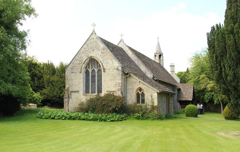
Church of St Swithin, Quenington
Historic churches · 0.3 km

Coln Saint Aldwyn
Villages · 0.4 km
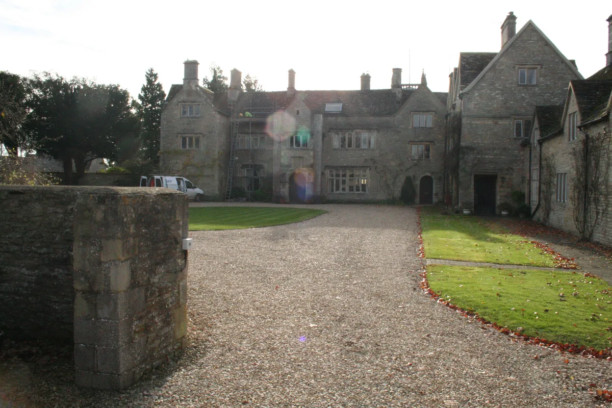
Coln Manor
Stately homes · 1.1 km
.jpg?width=1200)
Coln St. Aldwyns
Towns & cities · 1.1 km

Hatherop
Castles · 1.2 km

Votive Column Monument
Memorials & monuments · 1.3 km

Bridge Over River Coln, To North Of Mill House
Historic bridges · 2.8 km

Blackford Barn
Historic houses · 2.9 km

The Oxpens
Natural landmarks · 2.9 km
Nearby
Flagship📷 3Abbeys & priories · South East England
Quenington Preceptory
Quenington Preceptory — monastery in Gloucestershire, England, UK.
📷 5📷 3Historic houses · South East England
Dovecote At Knights Gate
Dovecote At Knights Gate — a Grade I-listed historic house in england-west-midlands, United Kingdom.
📷 3Historic churches · South East England
Church of St Swithin, Quenington
Church of St Swithin, Quenington — church in Cotswold, UK.
📷 5Villages · South East England
Coln Saint Aldwyn
Coln Saint Aldwyn — a village in england west midlands.
Flagship📷 3Stately homes · South East England
Coln Manor
Coln Manor — manor house in Coln St. Aldwyns, Cotswold, Gloucestershire, England, UK.
Where to eat & stay near Stone stile and attached wall about 5 1/2 metres long, adjoining on east of wall of Quenington House
Places to stay
 📷 6
📷 6Hotels · South East England
The Swan Hotel
The Swan Hotel — a hotel in england west midlands.
 📷 5
📷 5Campsites · South East England
Bibury Camping
Bibury Camping — a campsite in england west midlands.
 📷 5
📷 5Campsites · South East England
Kempsford Camping (July Only)
Kempsford Camping (July Only) — a campsite in england west midlands.
 📷 5
📷 5 📷 5
📷 5Caravan parks · South East England
Rough Grounds Farm
Rough Grounds Farm — a caravan park in england west midlands.
 📷 5
📷 5Campsites · South West England
The T Barn
The T Barn — a campsite in england west midlands.
Places to eat & drink
 📷 7
📷 7Historic pubs · South West England
The Village Pub
The Village Pub in England South East, United Kingdom.
 📷 7
📷 7Historic pubs · South East England
Trout Inn
Trout Inn — Historic pub — listed building or notable heritage status.
 📷 7
📷 7Historic pubs · South East England
Inn For All Seasons
Inn For All Seasons in England South East, United Kingdom.
 📷 7
📷 7Historic pubs · South West England
Fossebridge Inn
Fossebridge Inn in England South East, United Kingdom.
 📷 7
📷 7Historic pubs · South East England
Plough Cottage The Plough Inn
Plough Cottage The Plough Inn in England South West, United Kingdom.
 📷 7
📷 7Historic pubs · South West England
The White Lion Public House
The White Lion Public House in England South West, United Kingdom.
More places in this region
 📷 5
📷 5Holy wells · South East England
Garden Walls Adjoining Knole
Garden Walls Adjoining Knole — Grade I listed wall in Sevenoaks, Sevenoaks, Kent, England, UK.
 📷 5
📷 5Holy wells · South East England
Gatehouse And Walls To The North And East Of The Friars
Gatehouse And Walls To The North And East Of The Friars — Grade I listed wall in Aylesford, Tonbridge and Malling, Kent, England, UK.
 📷 5
📷 5Holy wells · South East England
Boundary wall extending south from The Old Farmhouse
Boundary wall extending south from The Old Farmhouse — Grade II listed wall in Monxton, Test Valley, Hampshire, England, UK.
 📷 5
📷 5Holy wells · South East England
Boundary Walling To West Side Of No 59
Boundary Walling To West Side Of No 59 — wall in Sandwich, Dover, Kent, England, UK.
Frequently asked questions
- Where is Stone stile and attached wall about 5 1/2 metres long, adjoining on east of wall of Quenington House?
- Stone stile and attached wall about 5 1/2 metres long, adjoining on east of wall of Quenington House is in Gloucestershire, South-East England, United Kingdom (postcode GL7 5BH), in the parish of Quenington.
- What is Stone stile and attached wall about 5 1/2 metres long, adjoining on east of wall of Quenington House?
- Stone stile and attached wall about 5 1/2 metres long, adjoining on east of wall of Quenington House — Grade II listed stile and wall in Quenington, Cotswold, Gloucestershire, England, UK.
- How do I get to Stone stile and attached wall about 5 1/2 metres long, adjoining on east of wall of Quenington House?
- The nearest town is Coln St. Aldwyns. Drivers can use postcode GL7 5BH.
- Is Stone stile and attached wall about 5 1/2 metres long, adjoining on east of wall of Quenington House a listed building?
- Stone stile and attached wall about 5 1/2 metres long, adjoining on east of wall of Quenington House is officially recognised as Grade II listed building listed.
- Is Stone stile and attached wall about 5 1/2 metres long, adjoining on east of wall of Quenington House a protected site?
- Yes — Stone stile and attached wall about 5 1/2 metres long, adjoining on east of wall of Quenington House is part of the Cotswolds National Landscape (AONB).
- Is Stone stile and attached wall about 5 1/2 metres long, adjoining on east of wall of Quenington House free to visit?
- Yes, Stone stile and attached wall about 5 1/2 metres long, adjoining on east of wall of Quenington House is free to enter.
- How do I get to Stone stile and attached wall about 5 1/2 metres long, adjoining on east of wall of Quenington House?
- Drivers can navigate to postcode GL7 5BH. It sits within the North Cotswolds parliamentary constituency.