
Natural landmarks · Scottish Highlands
Stob Bàn
Also known as: Stob Bán
In or near Spean Bridge.
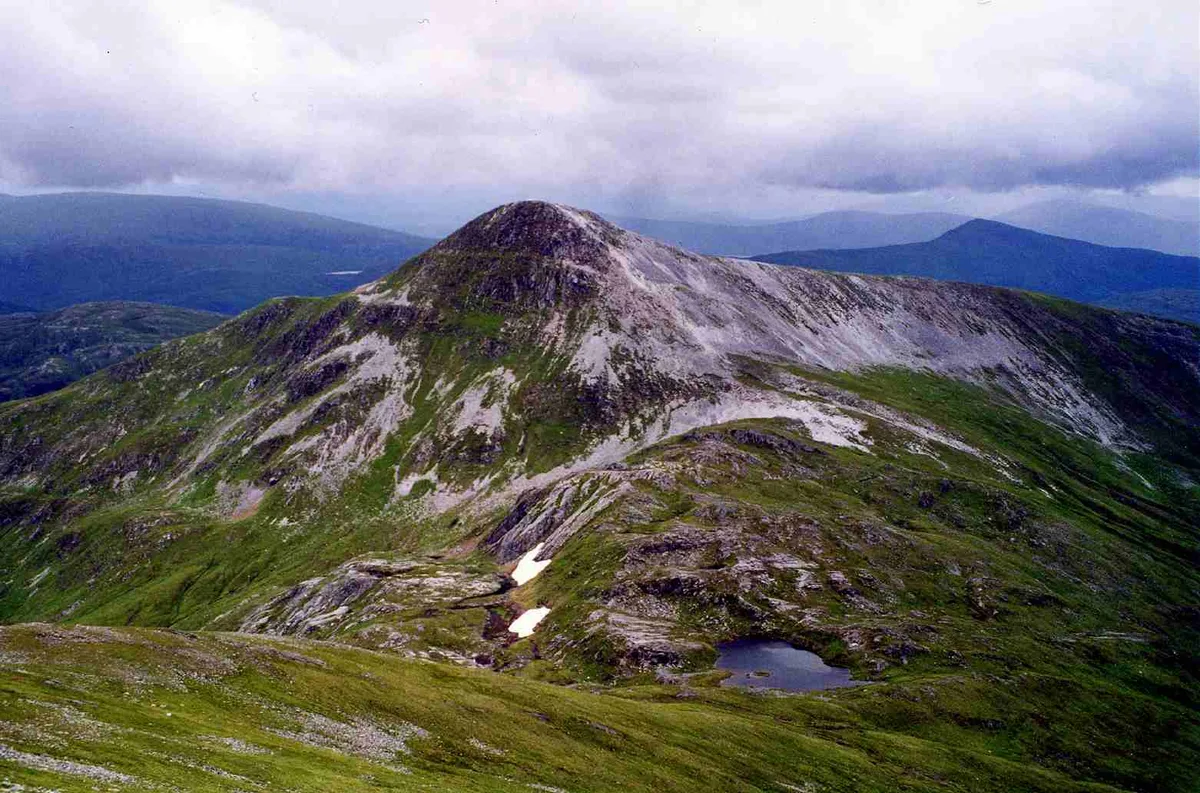
Stob Bàn — 977m high mountain in Highland, Scotland, UK.

Wikimedia Commons contributors — see linked file page for photographer and licence licence

Plan your visit
- Typical visit
- 1 h–2 h
- Nearest railway station
- Roy Bridge · 8.6 km
- Free entry
- Dog-friendly
Getting there & planning your visit
To visit Stob Bàn in the Scottish Highlands, the nearest railway station is Roy Bridge, located 8.6 km away. Entry to the site is free.
About
Stob Bàn is a named natural landmark in the United Kingdom. Part of Grey Corries. Wikidata describes it as: "977m high mountain in Highland, Scotland, UK". Coordinates: 56.8106°, -4.8409°.
Photo gallery
Official information
Stob Bàn is a prominent mountain located in the Grey Corries range near Fort William. It offers scenic hiking routes and panoramic views from its summit, making it a popular destination for walkers and climbers.
From the Wikipedia article
Stob Bàn is a mountain situated in the Lochaber region of Highland, Scotland, 16 kilometres east of Fort William. It reaches a height of 977 metres (3205 feet) and lies in a group of hills known as the Grey Corries which includes three other Munros and nine Munro "Tops" along an eight kilometre ridge. The mountain's name translate as “White Peak”, while other sources give the translation as Light Coloured Peak with the hill being covered in light coloured schist scree, in contrast to the rest of the Grey Corries which are made up of grey quartzite scree. The mountain is a prominent conical shape, isolated from the rest of the group and distant from any main roads. It should not be confused with another Munro named Stob Bàn situated in the Mamores. Stob Bàn lies south of the main Grey Corries ridge, connected to it and the highest mountain of the group, Stob Choire Claurigh, by an unnamed col with a height of 800 metres, this col has a small lochan also unnamed lying within it. Stob Bàn's conical shape is formed by three distinct ridges. The north eastern ridge drops to the valley of the Allt na Lairige which flows southerly into Loch Treig. The south western ridge is gentle in gradient dropping down to a col at 750 metres before rising to the subsidiary summit of Meall a’ Bhuirich (841 metres) which stands two kilometres from the main summit. The northern ridge is steep and connects to the Munro of Stob Choire Claurigh with rough scree underfoot with some care needed by walkers traversing between the two mountains. Stob Bàn's north eastern face is precipitous and craggy and drops steeply to the valley of the Allt na Lairige. All drainage from the mountain finds its way to Loch Treig to reach the sea via the River Spean and Loch Linnhe at the west coast. One unusual characteristic of Stob Bàn is the so-called “Giants Staircase”, this is a 200-metre stretch of quartzite slabs encountered when descending from the 800 metre col between Stob Bàn and Stob Choire Claurigh…
Excerpt from Wikipedia under CC BY-SA 4.0. See the source article linked in Sources below.
- Coordinates
- 56.8106, -4.8409
- Address
- Highland, Scotland
- Nearest railway station
- Roy Bridge — 8.6 km
- Official site
- www.walkhighlands.co.uk
Sources
- wikidata: Q7617758 (CC0)
- wikipedia: Stob Bàn (Grey Corries) (CC BY-SA 4.0)
- commons: Stob Ban from Stob Coire Claurigh.jpg (CC BY-SA 4.0)
Other places nearby

Stob Ban
Mountains & hills · 0.0 km
Stob Bàn
Mountains & hills · 0.0 km
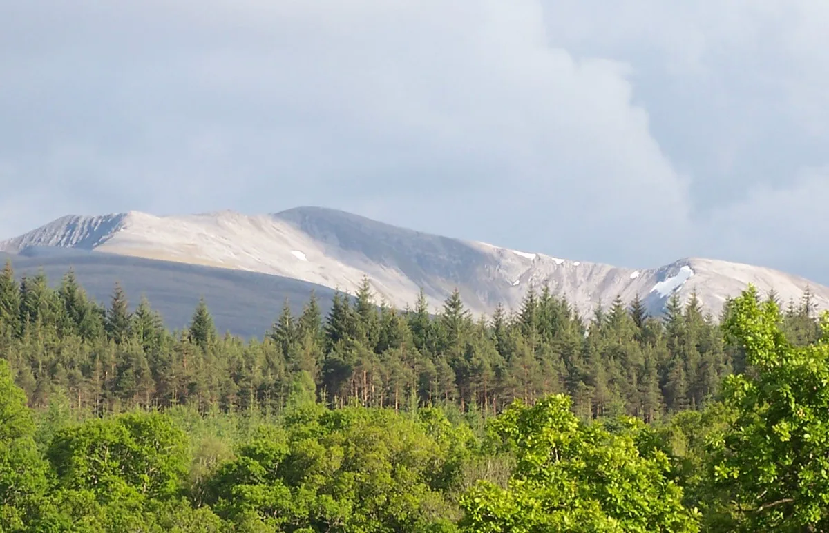
Stob Choire Claurigh
Natural landmarks · 1.6 km
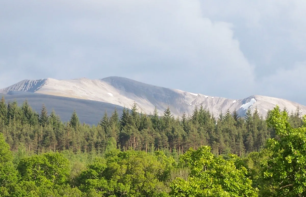
Stob Choire Claurigh
Mountains & hills · 1.6 km

Stob Coire Cath na Sine
Mountains & hills · 1.6 km

Stob Choire Claurigh - Stob a'Choire Leith
Mountains & hills · 1.6 km

Stob Choire Claurigh North Top
Mountains & hills · 1.9 km
Grey Corries
Mountains & hills · 2.1 km

Stob Choire Claurigh - Stob Coire na Ceannain
Mountains & hills · 2.1 km

Meall a' Bhuirich
Mountains & hills · 2.1 km
Caisteal
Mountains & hills · 2.1 km

Meall a' Bhùirich
Mountains & hills · 2.2 km
Nearby
📷 5📷 3Mountains & hills · Scottish Highlands
Stob Bàn
Stob Bàn — Named summit at 977 m.
📷 3Natural landmarks · Scottish Highlands
Stob Choire Claurigh
Stob Choire Claurigh — 1177m high mountain in Highland, Scotland, UK.
📷 3Mountains & hills · Scottish Highlands
Stob Choire Claurigh
Stob Choire Claurigh — Named summit at 1177 m.
📷 3Mountains & hills · Scottish Highlands
Stob Coire Cath na Sine
Stob Coire Cath na Sine — a mountain in scotland-highlands, United Kingdom.
📷 3Mountains & hills · Scottish Highlands
Stob Choire Claurigh - Stob a'Choire Leith
Stob Choire Claurigh - Stob a'Choire Leith — a mountain in scotland-highlands, United Kingdom.
Where to eat & stay near Stob Bàn
Places to stay
 📷 5
📷 5Campsites · Scottish Highlands
Insh Scout Campsite
Insh Scout Campsite — a campsite in scotland highlands.
 📷 5
📷 5Campsites · Scottish Highlands
Bunroy Caravan & Camping Park
Bunroy Caravan & Camping Park — a campsite in scotland highlands.
 📷 5
📷 5 📷 5
📷 5 📷 5
📷 5Caravan parks · Scottish Highlands
Nevis Range Campervan Park
Nevis Range Campervan Park — a caravan park in scotland highlands.
 📷 5
📷 5Places to eat & drink
 📷 4
📷 4Historic pubs · Scottish Highlands
Clachaig Inn
Clachaig Inn in Scotland Islands, United Kingdom.
More natural landmarks in this region
 Flagship📷 3
Natural landmarks · Scottish Highlands
Dunalastair Water
Dunalastair Water — lake in Perth and Kinross, Scotland, UK, on the River Tummel.
 Flagship📷 3
Natural landmarks · Scottish Highlands
Loch Arkaig
Loch Arkaig — lake in Highland, Scotland, UK, outflows east to River Arkaig.
 Flagship📷 3
Natural landmarks · Scottish Highlands
Loch Assynt
Loch Assynt — lake in Highland, Scotland, UK, outflows to the River Inver and Loch na Garbh Uidhe.
 Flagship📷 5
Natural landmarks · Scottish Highlands
Loch Eilt
Loch Eilt — lake in Highland, Scotland, UK, outflows west to River Ailort.
Frequently asked questions
- Where is Stob Bàn?
- Stob Bàn is in the Scottish Highlands, United Kingdom.
- What is Stob Bàn?
- Stob Bàn — 977m high mountain in Highland, Scotland, UK.
- How do I get to Stob Bàn?
- The nearest railway station is Roy Bridge, about 8.6 km away. Its coordinates are 56.8106°, -4.8409°.
- Is Stob Bàn free to visit?
- Yes, Stob Bàn is free to enter.