
Towns & cities · East of England
Steppingley
Steppingley — village and civil parish in Bedfordshire, UK.

Wikimedia Commons contributors — see linked file page for photographer and licence licence

Plan your visit
- Typical visit
- 3 h–6 h
- Nearest railway station
- Flitwick · 2.3 km
- Free entry
- Family-friendly
- Dog-friendly
Getting there & planning your visit
To visit Steppingley, the nearest railway station is Flitwick, located 2.3 km away. Entry to the town is free.
About
Steppingley is a town, city, village or settlement in the United Kingdom. Recent population estimates put it at around 194 people. Address: MK45. Wikidata describes it as: "village and civil parish in Bedfordshire, UK". Coordinates: 52.0075°, -0.5283°.
Photo gallery
From the Wikipedia article
Steppingley is a rural village and civil parish in Bedfordshire, England. It stands on high ground in the centre of a small parish of about 562 ha on the Greensand Ridge and is mentioned in the Domesday Book. It is located close to the nearby towns of Ampthill, Flitwick and Woburn, Bedfordshire. Much of the surrounding land is part of either Beckerings Park, or the Woburn Estate. The Duke of Bedford influence can be seen in the characteristic style of the numerous workers cottages throughout the village. Steppingley is a sought after village to live in, with a strong and active sense of community and excellent schools nearby. It also has good transport links to the M1 (close to junctions 12 and 13) and the Thameslink trainline to London (45 mins to St Pancras) is accessible at nearby Flitwick station (2 miles). The Steppingley Parish website provides additional information relating to the village:
Excerpt from Wikipedia under CC BY-SA 4.0. See the source article linked in Sources below.
- Coordinates
- 52.0075, -0.5283
- District
- Central Bedfordshire
- Parish
- Steppingley
- Postcode
- MK45
- Parliamentary constituency
- Mid Bedfordshire
- Population
- 194
- Nearest railway station
- Flitwick — 2.3 km
- Official site
- www.neighbourhood.statistics.gov.uk
Sources
- wikidata: Q1520331 (CC0)
- wikipedia: Steppingley (CC BY-SA 4.0)
- commons: St Lawrence's Church, Steppingley - geograph.org.uk - 1121388.jpg (CC BY-SA 4.0)
Other places nearby
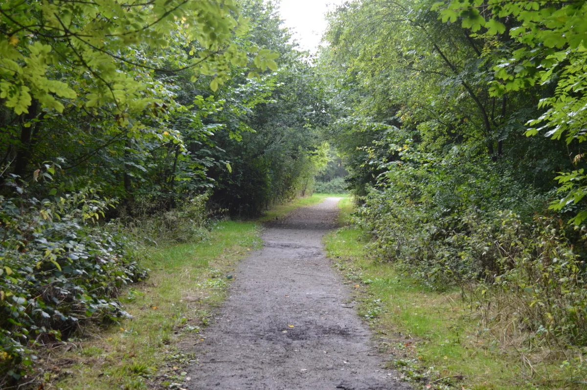
Flitwick Wood
Archaeological sites · 1.3 km

The Beach
Beaches · 1.7 km

Escape The Forest
Escape rooms · 1.9 km

Flitwick Castle
Castles · 1.9 km

Flitwick (Mount Hill)
Castles · 1.9 km
Flitwick Castle
Literary houses · 1.9 km
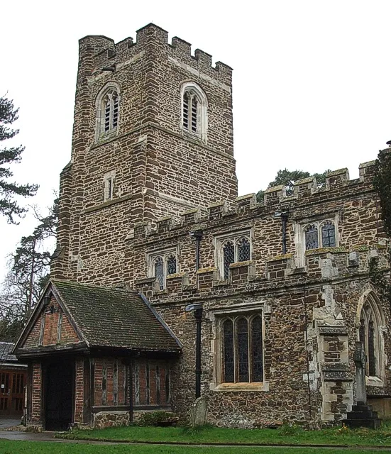
Church of St Peter & St Paul, Flitwick
Historic churches · 2.1 km
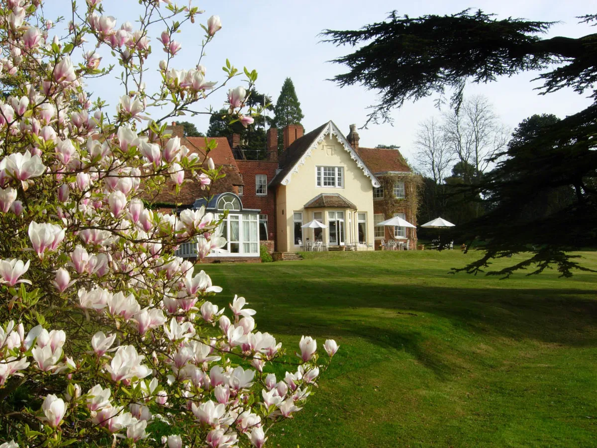
Flitwick Manor
Stately homes · 2.2 km

Leisure Bowl
Bowling alleys · 2.2 km

Flitwick
Museums · 2.2 km

Flitwick War Memorial
Memorials & monuments · 2.4 km
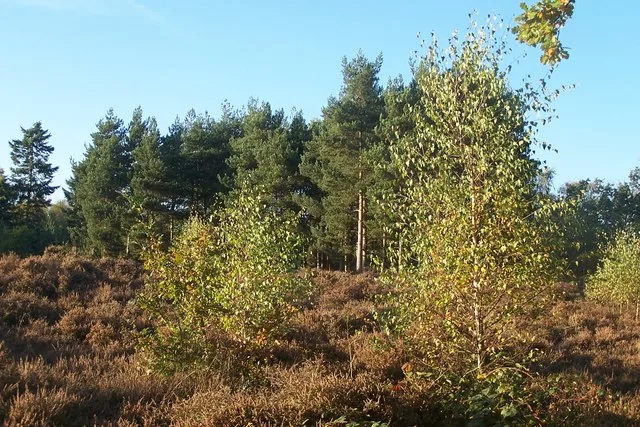
Cooper's Hill
Wildlife reserves · 2.9 km
Steppingley is a village located in the West Midlands region of England, with a population of 194. Our guide lists nearby attractions within reach.
At a glance
- Population
- 194
- Constituency
- Mid Bedfordshire
- Top categories near here
Things to see in Steppingley
6 attractions within 12 km.
📷 5Museums · East of England
Flitwick
Flitwick ( ) is a town and civil parish in Central Bedfordshire, England. It is mentioned in the Domesday Book of 1086 as "a hamlet on the River Flitt". The spelling Flytwyk appears in 1381. The nearb
📷 3Archaeological sites · East of England
Flitwick Wood
Flitwick Wood — Nature Reserve in Bedfordshire, England.
📷 3📷 3Escape rooms · East of England
Escape The Forest
Escape The Forest — a escape room in england-west-midlands, United Kingdom.
📷 3Bowling alleys · East of England
Leisure Bowl
Leisure Bowl — a bowling in england-west-midlands, United Kingdom.
 📷 5
📷 5Mountains & hills · East of England
Heydon Hill
Heydon Hill — a hill or mountain in england west midlands.
Nearby
📷 3Archaeological sites · East of England
Flitwick Wood
Flitwick Wood — Nature Reserve in Bedfordshire, England.
📷 3📷 3Escape rooms · East of England
Escape The Forest
Escape The Forest — a escape room in england-west-midlands, United Kingdom.
📷 5Castles · East of England
Flitwick Castle
Flitwick Castle — a castle in england-west-midlands, United Kingdom.
📷 5Castles · East of England
Flitwick (Mount Hill)
Flitwick (Mount Hill) — a castle in england west midlands.
📷 5Literary houses · East of England
Flitwick Castle
Flitwick Castle — a literary house museum in england west midlands.
Where to eat & stay near Steppingley
Places to stay
 📷 5
📷 5Campsites · East of England
Belvedere Camping
Belvedere Camping — a campsite in england west midlands.
 📷 5
📷 5Campsites · East of England
The Rose and Crown
The Rose and Crown — a campsite in england west midlands.
 📷 5
📷 5Hotels · East of England
The White Hart
The White Hart — a hotel in england london.
 📷 7📷 7
Hotels · South East England
The Woburn Hotel
The Woburn Hotel — a hotel in england west midlands.
 📷 5
📷 5Campsites · East of England
Lower Woodend Farm
Lower Woodend Farm — a campsite in england west midlands.
Places to eat & drink
 📷 5📷 5
 📷 5
📷 5Historic pubs · East of England
The Old Sun Public House
The Old Sun Public House in England East, United Kingdom.
 📷 5
📷 5Historic pubs · East of England
The Odd Fellows Arms
The Odd Fellows Arms in England East, United Kingdom.
 📷 5
📷 5Historic pubs · East of England
Bedford Arms Public House
Bedford Arms Public House in England East, United Kingdom.
 📷 5
📷 5Historic pubs · East of England
The Flying Horse Public House
The Flying Horse Public House in England East, United Kingdom.
More towns in this region
 Flagship📷 10
 Flagship📷 10
Towns & cities · East of England
Cambridge
Cambridge — city in Cambridgeshire, England.
 Flagship📷 10
Towns & cities · East of England
Chelmsford
Chelmsford — city in Essex, United Kingdom.
 Flagship📷 10
Towns & cities · East of England
Colney Heath
Colney Heath — village and civil parish in St Albans, Hertfordshire, England, UK.
Frequently asked questions
- Where is Steppingley?
- Steppingley is in the West Midlands, United Kingdom (postcode MK45), in the parish of Steppingley.
- What is Steppingley?
- Steppingley — village and civil parish in Bedfordshire, UK.
- How do I get to Steppingley?
- The nearest railway station is Flitwick, about 2.3 km away. Drivers can use postcode MK45.
- Is Steppingley free to visit?
- Yes, Steppingley is free to enter.
- How do I get to Steppingley?
- The nearest railway station is Flitwick, about 2.3 km away. Drivers can navigate to postcode MK45.