
Wildlife reserves · South West England
Stenders Quarry
In or near Abenhall.
Stenders Quarry (grid reference SO659183) is a 2.8-hectare (6.9-acre) biological and geological Site of Special Scientific Interest in the Forest of Dean, Gloucestershire, England, notified in 1966 an

Mr Red — CC BY-SA 2.0 via Wikimedia Commons licence

Plan your visit
- Typical visit
- 2 h–4 h
- Best time of year
- Autumn & winter (migration & wildfowl)
- Free entry
- Dog-friendly
About
Stenders Quarry (grid reference SO659183) is a 2.8-hectare (6.9-acre) biological and geological Site of Special Scientific Interest in the Forest of Dean, Gloucestershire, England, notified in 1966 and renotified in 1990. The site is designated as an SSSI for its important geological features, although there is also a diversity of plants and animals recorded. The site is listed in the 'Forest of Dean Local Plan Review' as a Key Wildlife Site (KWS). Stenders Quarry is situated west of Mitcheldean and is on the south side of the Drybrook road. The site was known formerly as the Wilderness Cement Work Quarry. The Quarry, which was gradually extended during the second half of the nineteenth century, provided material for the cement works. Scully Grove Quarry SSSI which is situated to the north also provided material for the cement works.. The remains of an overhead tramway, which was built to carry the limestone across the road, can be seen on the eastern side of Stenders Quarry. Working stopped in 1918 and the Quarry became derelict. The site is regularly used by geological students. The site is owned and managed by the Gloucestershire Wildlife Trust. It was purchased in 1974.
Photo gallery
Protected designations
- Site of Special Scientific Interest: Stenders Quarry SSSI
Designations sourced from Natural England open data under OGL v3.
From the Wikipedia article
Stenders Quarry (grid reference SO659183) is a 2.8-hectare (6.9-acre) biological and geological Site of Special Scientific Interest in the Forest of Dean, Gloucestershire, England, notified in 1966 and renotified in 1990. The site is designated as an SSSI for its important geological features, although there is also a diversity of plants and animals recorded. The site is listed in the 'Forest of Dean Local Plan Review' as a Key Wildlife Site (KWS). Stenders Quarry is situated west of Mitcheldean and is on the south side of the Drybrook road. The site was known formerly as the Wilderness Cement Work Quarry. The Quarry, which was gradually extended during the second half of the nineteenth century, provided material for the cement works. Scully Grove Quarry SSSI which is situated to the north also provided material for the cement works.. The remains of an overhead tramway, which was built to carry the limestone across the road, can be seen on the eastern side of Stenders Quarry. Working stopped in 1918 and the Quarry became derelict. The site is regularly used by geological students. The site is owned and managed by the Gloucestershire Wildlife Trust. It was purchased in 1974.
Excerpt from Wikipedia under CC BY-SA 4.0. See the source article linked in Sources below.
Background
Description
The dip of the quarry is steep and shows a wide range of rock types. There are exposures of fossiliferous Lower Carboniferous limestone shales. Their junctions with the Old Red Sandstone and with part of the Lower Dolomite formation are visible. There are fossils in the rocks such as sea lilies, water fleas and shellfish.
Sourced from Wikipedia under CC BY-SA 4.0.
- Coordinates
- 51.8627, -2.4959
- County
- Gloucestershire
- District
- Forest of Dean
- Parish
- Mitcheldean
- Postcode
- GL17 0JE
- Parliamentary constituency
- Forest of Dean
Sources
- wikipedia: Stenders Quarry (CC BY-SA 4.0)
Other places nearby

Mitcheldean
Museums · 0.4 km
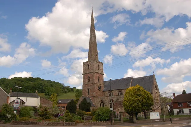
Church of St Michael and All Angels
Historic churches · 0.5 km

Abenhall
Towns & cities · 0.9 km

Plump Hill Dolomite Quarry
Forests & woodlands · 1.2 km
Plump Hill Dolomite Quarry
Parks · 1.2 km

Mitcheldean Meend Marsh
Parks · 1.2 km

Greenway Farm Campsite
Campsites · 1.4 km

Breakheart Hill
Mountains & hills · 1.4 km
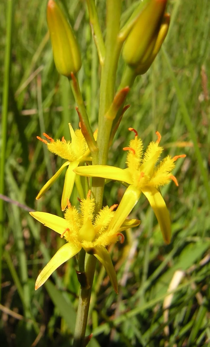
Wigpool
Wildlife reserves · 1.5 km
Breakheart Hill
Mountains & hills · 1.5 km

Knight Monument In Churchyard About 3 Metres South Of East End Of South Aisle, Church Of St Michael And All Angels
Memorials & monuments · 1.5 km
Lloyd Monument In Churchyard, About 8 Metres South Of East Side Of Porch, Church Of St Michael And All Angels
Memorials & monuments · 1.5 km
Nearby
📷 5Museums · South West England
Mitcheldean
Mitcheldean — a museum in england-west-midlands, United Kingdom.
📷 3Historic churches · South West England
Church of St Michael and All Angels
Church of St Michael and All Angels — historic church in Micheldean, Gloucestershire, England, United Kingdom.
📷 3Towns & cities · South West England
Abenhall
Abenhall — village in Gloucestershire, England, UK.
📷 3Forests & woodlands · South West England
Plump Hill Dolomite Quarry
Plump Hill Dolomite Quarry is a forest or woodland in the United Kingdom.
📷 3Parks · South West England
Plump Hill Dolomite Quarry
Plump Hill Dolomite Quarry — English nature reserve.
📷 3Parks · South West England
Mitcheldean Meend Marsh
Mitcheldean Meend Marsh — park in United Kingdom.
Where to eat & stay near Stenders Quarry
Places to stay
📷 5Campsites · South West England
Greenway Farm Campsite
Greenway Farm Campsite — a campsite in england west midlands.
 📷 5
📷 5Campsites · West Midlands
Greenacres Camping & Caravan Site
Greenacres Camping & Caravan Site — a campsite in england west midlands.
 📷 5
📷 5Campsites · South West England
Forest Road Camping
Forest Road Camping — a campsite in england west midlands.
 📷 5
📷 5Caravan parks · South West England
Enfield Park
Enfield Park — a caravan park in england west midlands.
 📷 5
📷 5 📷 5
📷 5Caravan parks · West Midlands
Broadmeadow Caravan & Camping Park
Broadmeadow Caravan & Camping Park — a caravan park in england west midlands.
Places to eat & drink
 📷 5
📷 5 📷 5
📷 5 📷 7
📷 7 📷 5
📷 5Historic pubs · West Midlands
The Man of Ross
The Man of Ross — Historic pub — listed building or notable heritage status.
 📷 7
📷 7 📷 6
📷 6Historic pubs · South West England
The Yew Tree (Public House)
The Yew Tree (Public House) in England South East, United Kingdom.
More places in this region
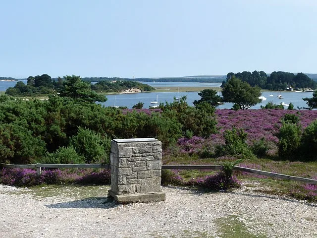 Flagship📷 10
Wildlife reserves · South West England
Arne RSPB reserve
Arne RSPB reserve — RSPB nature reserve in the United Kingdom.
 📷 5
📷 5Wildlife reserves · South West England
Bath and Bradford-on-Avon Bats SAC
Bath and Bradford-on-Avon Bats SAC — Special Area of Conservation in England, UK.
 📷 5
📷 5Wildlife reserves · South West England
Baverstock Juniper Bank
Baverstock Juniper Bank — Conservation site in Wiltshire, England.
 📷 5
📷 5Wildlife reserves · South West England
Girdlers Coppice
Girdlers Coppice — nature reserve in Dorset, UK.
Frequently asked questions
- Where is Stenders Quarry?
- Stenders Quarry is in Gloucestershire, South-East England, United Kingdom (postcode GL17 0JE), in the parish of Mitcheldean.
- What is Stenders Quarry?
- Stenders Quarry (grid reference SO659183) is a 2.8-hectare (6.9-acre) biological and geological Site of Special Scientific Interest in the Forest of Dean, Gloucestershire, England, notified in 1966 an
- How do I get to Stenders Quarry?
- Drivers can use postcode GL17 0JE.
- Is Stenders Quarry a protected site?
- Yes — Stenders Quarry is part of the Stenders Quarry SSSI Site of Special Scientific Interest.
- Is Stenders Quarry free to visit?
- Yes, Stenders Quarry is free to enter.
- How do I get to Stenders Quarry?
- Drivers can navigate to postcode GL17 0JE. It sits within the Forest of Dean parliamentary constituency.
- Are dogs allowed at Stenders Quarry?
- Most wildlife reserves allow dogs on lead only, with restrictions during ground-nesting bird season (March-July). Check signage at the reserve.