
Archaeological sites · South West England
Forest of Dean
Also known as: Fforest y Ddena, Foraois Dean
In or near Ruardean Woodside.
Forest of Dean — geographical, historical and cultural region in Gloucestershire, England.

Wikimedia Commons contributors — see linked file page for photographer and licence licence

Plan your visit
- Typical visit
- 45 min–1.5 h
- Nearest railway station
- Parkend · 2.7 km
- Free entry
- Dog-friendly
Getting there & planning your visit
To visit the Forest of Dean, the nearest railway station is Parkend, located 2.7 km away. The postcode for the area is GL15 4HS, and entry is free.
About
Forest of Dean is an archaeological site in the United Kingdom. Part of Gloucestershire. Wikidata describes it as: "geographical, historical and cultural region in Gloucestershire, England". Coordinates: 51.7900°, -2.5400°.
Photo gallery
Protected designations
- Area of Outstanding Natural Beauty: Wye Valley
Designations sourced from Natural England open data under OGL v3.
From the Wikipedia article
The Forest of Dean (Forest of Dean English: Vorest o’ Dean) is a geographical, historical and cultural region in the western part of the county of Gloucestershire, England. It forms a roughly triangular plateau bounded by the River Wye to the west and northwest, Herefordshire to the north, the River Severn to the south, and the City of Gloucester to the east. The area is characterised by more than 110 square kilometres (42 sq mi) of mixed woodland, one of the surviving ancient woodlands in England. A large area was reserved for royal hunting before 1066, and remained as the second largest crown forest in England, after the New Forest, 105 kilometres (65 mi) to the southeast. Although the name is used loosely to refer to the part of Gloucestershire between the Severn and Wye, the Forest of Dean proper has covered a much smaller area since the Middle Ages. In 1327, it was defined to cover only the royal demesne and parts of parishes within the hundred of St Briavels, and after 1668 comprised the royal demesne only. The Forest proper is within the civil parishes of West Dean, Lydbrook, Cinderford, Ruspidge, and Drybrook, together with a strip of land in the parish of English Bicknor. Traditionally the main sources of work have been forestry – including charcoal production – iron working and coal mining. Archaeological studies have dated the earliest use of coal to Roman times for domestic heating and industrial processes such as the preparation of iron ore. The area gives its name to the local government district, Forest of Dean, and a parliamentary constituency, both of which cover wider areas than the historic Forest. The administrative centre of the local authority is Coleford, one of the main towns in the historic Forest area, together with Cinderford and Lydney.
Excerpt from Wikipedia under CC BY-SA 4.0. See the source article linked in Sources below.
Background
Visiting
In 1967, John Berger's sociological work A Fortunate Man was set in the Forest of Dean. A film of the same name was filmed in the Forest of Dean in 1972. Heavy metal band Black Sabbath rented Clearwell Castle in 1973 to write and record their fifth album, Sabbath Bloody Sabbath. The band rehearsed in the castle dungeon for inspiration. In 1978, the members of Led Zeppelin reconvened at the castle after a period apart, and began writing and rehearsing what became their In Through the Out Door album. J. K. Rowling, author of the Harry Potter series, sets several crucial chapters of her final Harry Potter book in this forest. In July 2014, scenes from Star Wars: The Force Awakens were filmed…
Sourced from Wikipedia under CC BY-SA 4.0.
- Coordinates
- 51.7900, -2.5400
- County
- Gloucestershire
- District
- Forest of Dean
- Parish
- West Dean
- Postcode
- GL15 4HS
- Parliamentary constituency
- Forest of Dean
- Nearest railway station
- Parkend — 2.7 km
Sources
- wikidata: Q902997 (CC0)
- wikipedia: Forest of Dean (CC BY-SA 4.0)
- commons: Symonds Yat Rock View.JPG (CC BY-SA 4.0)
Other places nearby

New Fancy
Viewpoints · 0.7 km
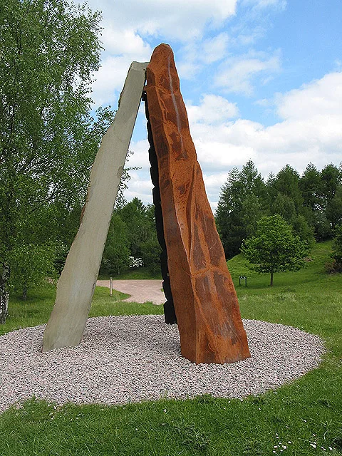
New Fancy
Parks · 0.7 km

Roll of Honour Sculpture
Public art & sculpture · 0.8 km

Forest of Dean District
Museums · 1.0 km

Staple Edge Hill
Mountains & hills · 1.7 km
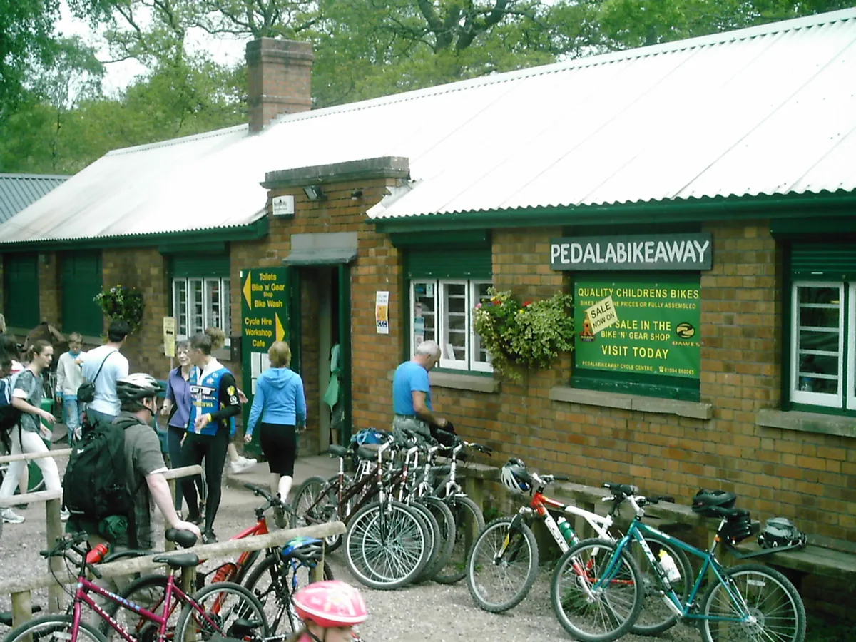
Forest of Dean Cycle Centre
Parks · 2.0 km

Speech House Hotel
Manor houses · 2.0 km

Speech House
Gardens · 2.0 km
Forest of Dean Sculpture Trail
Military museums · 2.0 km
Forest of Dean Sculpture Trail
Forests & woodlands · 2.0 km

Obelisk Opposite Speech House Hotel
Forts · 2.1 km

Traditional Centre of the Forest of Dean
Memorials & monuments · 2.1 km
Nearby
📷 4📷 3📷 3Public art & sculpture · South West England
Roll of Honour Sculpture
Roll of Honour Sculpture — a public art in england-west-midlands, United Kingdom.
📷 5Museums · South West England
Forest of Dean District
Forest of Dean is a local government district in west Gloucestershire, England, named after the Forest of Dean. Its council is based in Coleford. Other towns and villages in the district include Blake
📷 5Mountains & hills · South West England
Staple Edge Hill
Staple Edge Hill — a hill or mountain in england west midlands.
📷 3Parks · South West England
Forest of Dean Cycle Centre
Forest of Dean Cycle Centre — park in United Kingdom.
Where to eat & stay near Forest of Dean
Places to stay
 📷 5
📷 5B&Bs · South West England
Edale House B&B
Edale House B&B — a bed-and-breakfast in england west midlands.
 📷 5
📷 5 📷 5
📷 5Campsites · South West England
Whitemead Forest Park
Whitemead Forest Park — a campsite in england west midlands.
 📷 5
📷 5Caravan parks · South West England
Enfield Park
Enfield Park — a caravan park in england west midlands.
📷 5Caravan parks · South West England
Whitemead Park
Whitemead Park — a caravan park in england west midlands.
 📷 5
📷 5Campsites · South West England
The Christian Adventure Centre at Viney Hill
The Christian Adventure Centre at Viney Hill — a campsite in england west midlands.
Places to eat & drink
 📷 6
📷 6Historic pubs · South West England
The Yew Tree (Public House)
The Yew Tree (Public House) in England South East, United Kingdom.
 📷 7
📷 7Historic pubs · South West England
King's Head Hotel
King's Head Hotel in England South East, United Kingdom.
 📷 7
📷 7 📷 5
📷 5 📷 5
📷 5 📷 5
📷 5Historic pubs · South West England
The Red Hart (Public House)
The Red Hart (Public House) in England South East, United Kingdom.
More archaeological sites in this region
 📷 5
📷 5Archaeological sites · South West England
Battlesbury Camp Monuments: hillfort, settlement, cemetery, barrows, enclosure, and field systems
Battlesbury Camp Monuments: hillfort, settlement, cemetery, barrows, enclosure, and field systems — archaeological site in Warminster, Wiltshire, England, UK.
 📷 5
📷 5Archaeological sites · South West England
Blandford Forest
Blandford Forest — forest in Blandford Forum, England.
 📷 5
📷 5Archaeological sites · South West England
Boulsbury Wood
Boulsbury Wood — protected area in Dorset and Hampshire, England.
.jpg?width=1200) 📷 5
📷 5Archaeological sites · South West England
Cranborne Chase
Cranborne Chase — Plateau in southern England.
Frequently asked questions
- Where is Forest of Dean?
- Forest of Dean is in Gloucestershire, South-West England, United Kingdom (postcode GL15 4HS), in the parish of West Dean.
- What is Forest of Dean?
- Forest of Dean — geographical, historical and cultural region in Gloucestershire, England.
- How do I get to Forest of Dean?
- The nearest railway station is Parkend, about 2.7 km away. The nearest town is Ruardean Woodside. Drivers can use postcode GL15 4HS.
- Is Forest of Dean a protected site?
- Yes — Forest of Dean is part of the Wye Valley National Landscape (AONB).
- Is Forest of Dean free to visit?
- Yes, Forest of Dean is free to enter.
- How do I get to Forest of Dean?
- The nearest railway station is Parkend, about 2.7 km away. Drivers can navigate to postcode GL15 4HS.