
Mountains & hills · South East England
Steel Bay
In or near Wroxall.
Steel Bay — bay on the south-east coast of the Isle of Wight, England, UK.

Wikimedia Commons contributors — see linked file page for photographer and licence licence

Plan your visit
- Typical visit
- 3 h–8 h
- Best time of year
- Late spring – early autumn (May–Oct)
- Nearest railway station
- Shanklin · 3.2 km
- Free entry
- Dog-friendly
Getting there & planning your visit
To visit Steel Bay, the nearest railway station is Shanklin, located 3.2 km away. Entry is free, and the postcode for navigation is PO38 1QD.
About
Steel Bay is a named summit in the United Kingdom. Part of English Channel. Wikidata describes it as: "bay on the south-east coast of the Isle of Wight, England, UK". Coordinates: 50.6050°, -1.1752°.
Photo gallery
Protected designations
- Site of Special Scientific Interest: Bonchurch Landslips SSSI
- Area of Outstanding Natural Beauty: Isle Of Wight
Designations sourced from Natural England open data under OGL v3.
From the Wikipedia article
Steel Bay is a bay on the south-east coast of the Isle of Wight, England. It lies to the east of the village of Bonchurch. It faces south-east towards the English Channel and has a one-half-mile (0.80 km) shoreline. It stretches from Bordwood Ledge in the north to Dunnose headland in the south. The bay is remote and has no established access. It is best viewed from Dunnose which can be accessed by scrambling over The Landslip, which is close to the Isle of Wight Coastal Path in the woods to the east of Upper Bonchurch. The bay has a large intertidal reef with outlying rocks, which can be a danger for marine traffic. Situated beneath Bonchurch Landslips, part of the wider Undercliff landslide complex, the cliffs are highly unstable and prone to landslides. The cliffs consist of sandstones from the uppermost sections of the Lower Greensand group overlain by the Gault Clay, with superficial deposits of landslide debris including material from the Upper Greensand and Chalk. The coastline saw major landslide events in 1810, 1818 and to a lesser extent in February 1995. In 1871, the Underley, a 1,292-ton iron-hulled sailing ship, ran around in a strong gale at the point between Monk's Bay and Steel Bay. She was on a voyage from London to Melbourne with thirty passengers and cargo on board, the vessel was lost but all her passengers and crew were saved bar one – a steward re-boarded the ship to rescue his pet bird and was washed overboard as it broke apart. Fragments of the wreck can still be seen by divers in the area when a gale has shifted the sands.
Excerpt from Wikipedia under CC BY-SA 4.0. See the source article linked in Sources below.
- Coordinates
- 50.6050, -1.1752
- District
- Isle of Wight
- Parish
- Ventnor
- Postcode
- PO38 1QD
- Parliamentary constituency
- Isle of Wight East
- Nearest railway station
- Shanklin — 3.2 km
Sources
- wikidata: Q7605637 (CC0)
- wikipedia: Steel Bay (CC BY-SA 4.0)
- commons: Steel Bay.jpg (CC BY-SA 4.0)
Other places nearby

Wishing Seat
Natural landmarks · 0.3 km
Landslip Recreational Area
Natural landmarks · 0.5 km
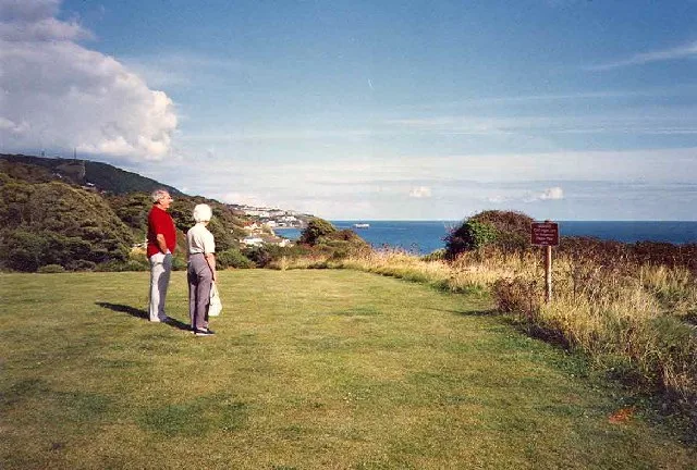
Luccombe Bay
Mountains & hills · 0.7 km

Bonchurch Down
Mountains & hills · 0.8 km
Monks Bay
Mountains & hills · 0.8 km
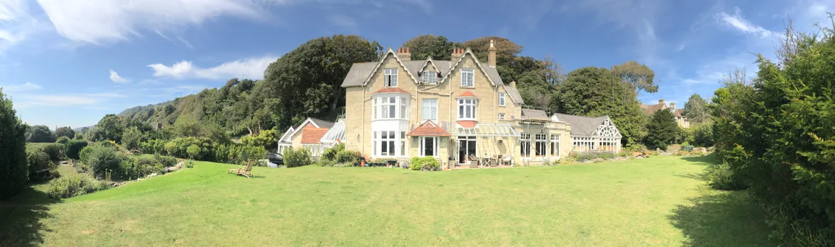
Bonchurch Manor
Stately homes · 0.9 km

Ventnor oppidum
Archaeological sites · 0.9 km

Bonchurch
Vineyards · 0.9 km

Old St. Boniface Church, Bonchurch
Historic churches · 0.9 km

Bonchurch War Memorial
Memorials & monuments · 1.0 km
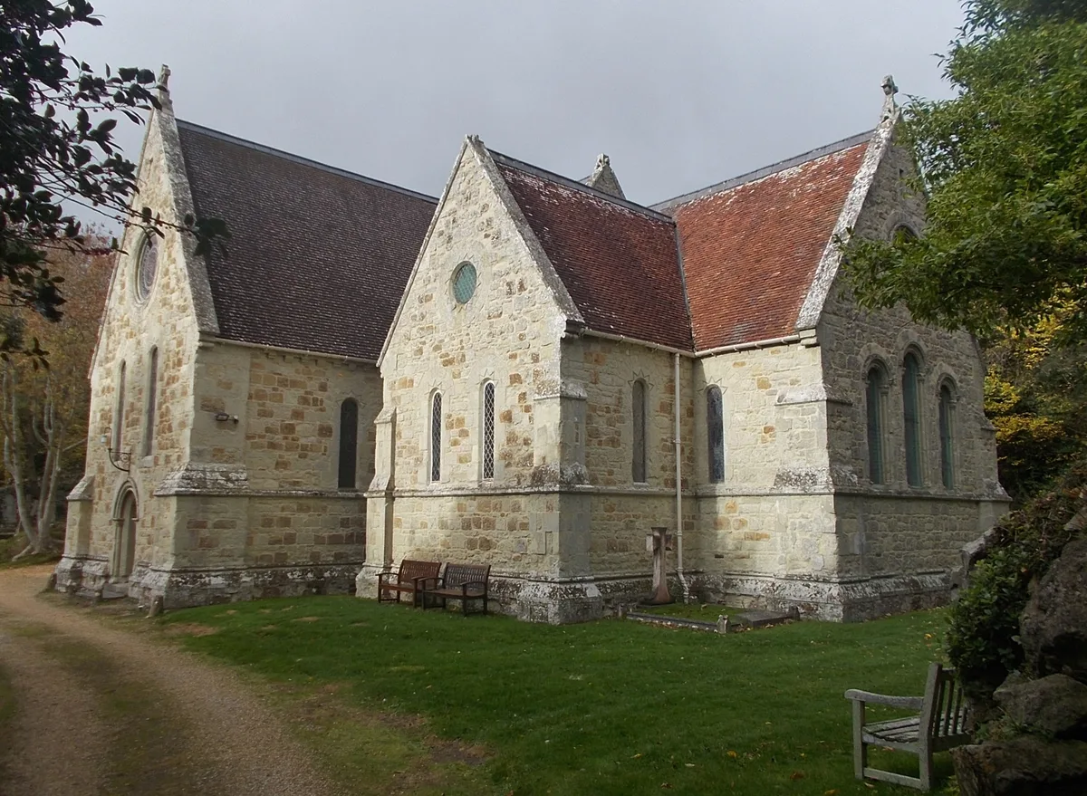
St. Boniface Church, Bonchurch
Historic churches · 1.0 km

Bronze Age Burrial Barrow
Burial mounds & barrows · 1.3 km
Nearby
📷 5Natural landmarks · South East England
Wishing Seat
Wishing Seat — a other in england-south-east, United Kingdom.
📷 5Natural landmarks · South East England
Landslip Recreational Area
Landslip Recreational Area — a other in england-south-east, United Kingdom.
📷 5Mountains & hills · South East England
Luccombe Bay
Luccombe Bay — bay on the south-east coast of the Isle of Wight, England, UK.
📷 5Mountains & hills · South East England
Bonchurch Down
Bonchurch Down — mountain in england south east. Elevation: 219 m.
📷 5Mountains & hills · South East England
Monks Bay
Monks Bay — bay on the south-east coast of the Isle of Wight, England, UK.
📷 5Stately homes · South East England
Bonchurch Manor
Bonchurch Manor — manor house in Bonchurch, United Kingdom.
Where to eat & stay near Steel Bay
Places to stay
 📷 5
📷 5Hotels · South East England
Ventnor Towers Hotel
Ventnor Towers Hotel — a hotel in england south east.
 📷 5
📷 5Campsites · South East England
3rd Ventnor Scouts Campsite
3rd Ventnor Scouts Campsite — a campsite in england south east.
 📷 5
📷 5 📷 7
📷 7 📷 5
📷 5Hotels · South East England
Rylstone Manor Hotel
Rylstone Manor Hotel — a hotel in england south east.
 📷 5
📷 5Hotels · South East England
The Fernbank
The Fernbank — a hotel in england south east.
Places to eat & drink
 📷 7
📷 7Historic pubs · South East England
King Harry's Bar
King Harry's Bar in England South East, United Kingdom.
 📷 7
📷 7Cafés · South East England
Pencil Cottage
Pencil Cottage — a café in england south east.
 📷 5
📷 5Cafés · South East England
No24 Ventnor
No24 Ventnor — a café in england south east.
 📷 5
📷 5 📷 5
📷 5Restaurants · South East England
Vernon Cottage
Vernon Cottage — a restaurant in england south east.
 📷 7
📷 7Historic pubs · South East England
The Griffin Public House
The Griffin Public House in England South East, United Kingdom.
More mountains in this region
 📷 5
📷 5 📷 5
📷 5Mountains & hills · South East England
Reigate Caves
Reigate Caves is a mountain or hill in the United Kingdom.
 📷 5
📷 5Mountains & hills · South East England
North Downs
North Downs — a hill or mountain in england london.
 📷 5
📷 5Mountains & hills · South East England
Blue Bell Hill
Blue Bell Hill — a hill or mountain in england london.
Frequently asked questions
- Where is Steel Bay?
- Steel Bay is in South-East England, United Kingdom (postcode PO38 1QD), in the parish of Ventnor.
- What is Steel Bay?
- Steel Bay — bay on the south-east coast of the Isle of Wight, England, UK.
- How do I get to Steel Bay?
- The nearest railway station is Shanklin, about 3.2 km away. The nearest town is Wroxall. Drivers can use postcode PO38 1QD.
- Is Steel Bay a protected site?
- Yes — Steel Bay is part of the Bonchurch Landslips SSSI Site of Special Scientific Interest and the Isle Of Wight National Landscape (AONB).
- Is Steel Bay free to visit?
- Yes, Steel Bay is free to enter.
- How do I get to Steel Bay?
- The nearest railway station is Shanklin, about 3.2 km away. Drivers can navigate to postcode PO38 1QD.