
Mountains & hills · South East England
Luccombe Bay
In or near Wroxall.
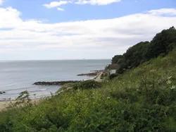
Luccombe Bay — bay on the south-east coast of the Isle of Wight, England, UK.

Wikimedia Commons contributors — see linked file page for photographer and licence licence

Plan your visit
- Typical visit
- 3 h–8 h
- Best time of year
- Late spring – early autumn (May–Oct)
- Nearest railway station
- Shanklin · 2.6 km
- Free entry
- Dog-friendly
Getting there & planning your visit
To visit Luccombe Bay, the nearest railway station is Shanklin, located 2.6 km away. The postcode for navigation is PO37 6RY, and entry to the site is free.
About
Luccombe Bay is a named summit in the United Kingdom. Part of English Channel. Wikidata describes it as: "bay on the south-east coast of the Isle of Wight, England, UK". Coordinates: 50.6109°, -1.1750°.
Photo gallery
Protected designations
- Area of Outstanding Natural Beauty: Isle Of Wight
Designations sourced from Natural England open data under OGL v3.
From the Wikipedia article
Luccombe Bay is a bay on the south-east coast of the Isle of Wight, England. It lies to the east of Luccombe Village from which it takes its name. It faces south-east towards the English Channel, its shoreline is 2⁄3 mile (1.1 km) in length. It consists of a predominantly sand and shingle beach lined with sea cliffs which range from 200 to 280 feet (60 to 85 m) in height. It stretches from Horse Ledge in the north to Bordwood Ledge in the south. The sea bottom is a mixture of mud and rocks. Along the top of the cliffs which line the bay is the site of the National trust maintained 4+1⁄2-mile (7.2 km) Luccombe and the Landslip Walk. The bay is best viewed from Luccombe Chine which descends to the beach about two-thirds of the way along the bay. A small fishing community existed at the foot of the Chine on the bay until it was destroyed in the Great Landslip of 1910. The area is the site of a lot of erosion and cliff retreat (though no cliff failures), with a loss of around a foot (30 cm) per year.
Excerpt from Wikipedia under CC BY-SA 4.0. See the source article linked in Sources below.
- Coordinates
- 50.6109, -1.1750
- District
- Isle of Wight
- Parish
- Shanklin
- Postcode
- PO37 6RY
- Parliamentary constituency
- Isle of Wight East
- Nearest railway station
- Shanklin — 2.6 km
Sources
- wikidata: Q6696418 (CC0)
- wikipedia: Luccombe Bay (CC BY-SA 4.0)
- commons: Luccombe Down looking towards Shanklin and Sandown - geograph.org.uk - 53587.jpg (CC BY-SA 4.0)
Other places nearby

Wishing Seat
Natural landmarks · 0.5 km
Landslip Recreational Area
Natural landmarks · 0.6 km
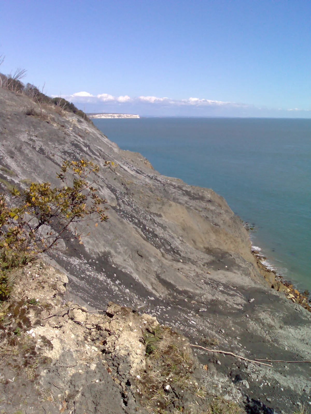
Steel Bay
Mountains & hills · 0.7 km

Bonchurch Down
Mountains & hills · 1.1 km
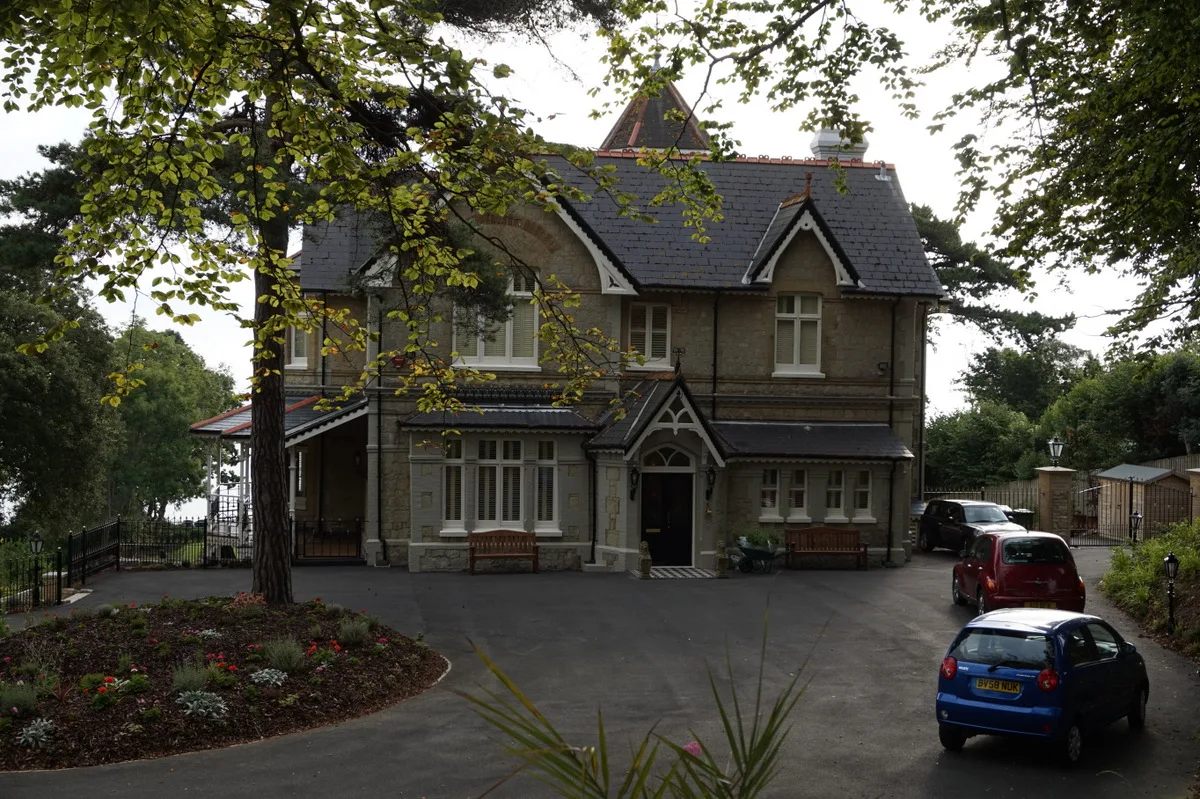
Alverstone Manor
Stately homes · 1.1 km

Luccombe Down
Mountains & hills · 1.3 km
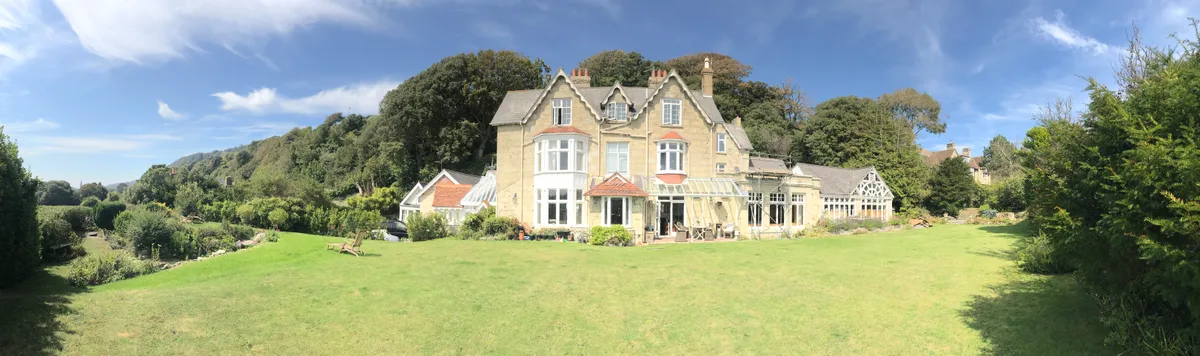
Bonchurch Manor
Stately homes · 1.3 km
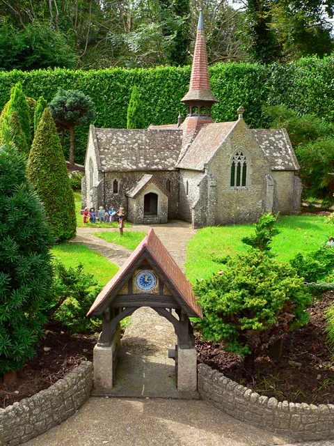
St. Blasius Church, Shanklin
Historic churches · 1.4 km
Monks Bay
Mountains & hills · 1.4 km

Ventnor oppidum
Archaeological sites · 1.4 km

Bonchurch War Memorial
Memorials & monuments · 1.5 km

Bonchurch
Vineyards · 1.5 km
Nearby
📷 5Natural landmarks · South East England
Wishing Seat
Wishing Seat — a place in South East England, United Kingdom.
📷 5Natural landmarks · South East England
Landslip Recreational Area
Landslip Recreational Area — a place in South East England, United Kingdom.
📷 5Mountains & hills · South East England
Steel Bay
Steel Bay — bay on the south-east coast of the Isle of Wight, England, UK.
📷 5Mountains & hills · South East England
Bonchurch Down
Bonchurch Down — mountain in england south east. Elevation: 219 m.
📷 5Stately homes · South East England
Alverstone Manor
Alverstone Manor — manor house in Alverstone, United Kingdom.
📷 5Mountains & hills · South East England
Luccombe Down
Luccombe Down — mountain in england south east. Elevation: 231 m.
Where to eat & stay near Luccombe Bay
Places to stay
 📷 7
📷 7 📷 5
📷 5Hotels · South East England
Rylstone Manor Hotel
Rylstone Manor Hotel — a hotel in england south east.
 📷 5
📷 5B&Bs · South East England
Grange Bank House
Grange Bank House — a bed-and-breakfast in england south east.
 📷 5
📷 5Hotels · South East England
The Fernbank
The Fernbank — a hotel in england south east.
 📷 5
📷 5B&Bs · South East England
Bedford Lodge
Bedford Lodge — a bed-and-breakfast in england south east.
 📷 7
📷 7Places to eat & drink
 📷 7
📷 7Historic pubs · South East England
King Harry's Bar
King Harry's Bar in England South East, United Kingdom.
 📷 7
📷 7Cafés · South East England
Pencil Cottage
Pencil Cottage — a café in england south east.
📷 5Restaurants · South East England
Vernon Cottage
Vernon Cottage — a restaurant in england south east.
 📷 5
📷 5Cafés · South East England
No24 Ventnor
No24 Ventnor — a café in england south east.
 📷 5
📷 5 📷 7
📷 7Historic pubs · South East England
The Griffin Public House
The Griffin Public House in England South East, United Kingdom.
More mountains in this region
 📷 5
📷 5 📷 5
📷 5Mountains & hills · South East England
Reigate Caves
Reigate Caves is a mountain or hill in the United Kingdom.
 📷 5
📷 5Mountains & hills · South East England
North Downs
North Downs — a hill or mountain in england london.
 📷 5
📷 5Mountains & hills · South East England
Blue Bell Hill
Blue Bell Hill — a hill or mountain in england london.
Frequently asked questions
- Where is Luccombe Bay?
- Luccombe Bay is in South-East England, United Kingdom (postcode PO37 6RY), in the parish of Shanklin.
- What is Luccombe Bay?
- Luccombe Bay — bay on the south-east coast of the Isle of Wight, England, UK.
- How do I get to Luccombe Bay?
- The nearest railway station is Shanklin, about 2.6 km away. The nearest town is Wroxall. Drivers can use postcode PO37 6RY.
- Is Luccombe Bay a protected site?
- Yes — Luccombe Bay is part of the Isle Of Wight National Landscape (AONB).
- Is Luccombe Bay free to visit?
- Yes, Luccombe Bay is free to enter.
- How do I get to Luccombe Bay?
- The nearest railway station is Shanklin, about 2.6 km away. Drivers can navigate to postcode PO37 6RY.