
Parks · London
Stationers Park
In or near City of London.
Stationers Park — a 1.5-hectare park in the London Borough of Haringey.

Wikimedia Commons contributors — see linked file page for photographer and licence licence

Plan your visit
- Typical visit
- 1 h–2 h
- Nearest railway station
- Harringay · 0.5 km
- Free entry
- Family-friendly
- Dog-friendly
Getting there & planning your visit
To visit Stationers Park, the nearest railway station is Harringay, which is 0.5 km away. Entry to the park is free.
About
Stationers Park is a public park in the United Kingdom. Wikidata describes it as: "a 1.5-hectare park in the London Borough of Haringey". Coordinates: 51.5793°, -0.1116°.
Photo gallery
360° view
Imagery © Mapillary contributors, CC BY-SA 4.0
From the Wikipedia article
Stationers Park is a 1.5-hectare park between Crouch End, Stroud Green and Harringay, London Borough of Haringey and was opened in 1987. The park sits between Mayfield Road and Denton Road (N8 9LP). It includes a MUGA (multi-user games area), two tennis courts, an under-7 playground and a junior playground with a massive fort, which has recently had new equipment fitted. It also has an open-air classroom and performance space, and a table tennis table. It has over 200 trees with a massive central weeping willow, two ponds and a thriving café, famous for its cakes. The park is modest but popular with kids, especially since Weston Park Primary School is situated on the park. The park is managed by Haringey with support from TCV and the Friends of Stationers Park (chair Chris Arnold). The park holds a number of community events, including the Summer Festival (in association with the Crouch End Festival), Jazz in the Park and Art in the Park. Details and news can be found on the Stationers Park Community Facebook group. Many locals are puzzled why it's not called Weston Park, the road next to it. The answer is that it is named after the former Stationers' Company's School. The school was founded by the 'Worshipful Company of Stationers and Newspaper Makers' to provide education for sons of those in the printing, newspaper, publishing and allied trade. Originally opened in 1981, the school was relocated in 1983. As of 2021, it is a winner of the Green Flag Award.
Excerpt from Wikipedia under CC BY-SA 4.0. See the source article linked in Sources below.
- Coordinates
- 51.5793, -0.1116
- District
- Haringey
- Parish
- Haringey, unparished area
- Postcode
- N8 9NS
- Parliamentary constituency
- Hornsey and Friern Barnet
- Nearest railway station
- Harringay — 0.5 km
- Opening
- 24/7
Sources
- wikidata: Q7604352 (CC0)
- wikipedia: Stationers Park (CC BY-SA 4.0)
- commons: Mini waterfalls in Stationers Park - geograph.org.uk - 1559607.jpg (CC BY-SA 4.0)
- osm: w4234648 (ODbL)
Other places nearby

Site Of The Stationers Company School
Memorials & monuments · 0.1 km

Stroud Green
Chapels · 0.3 km
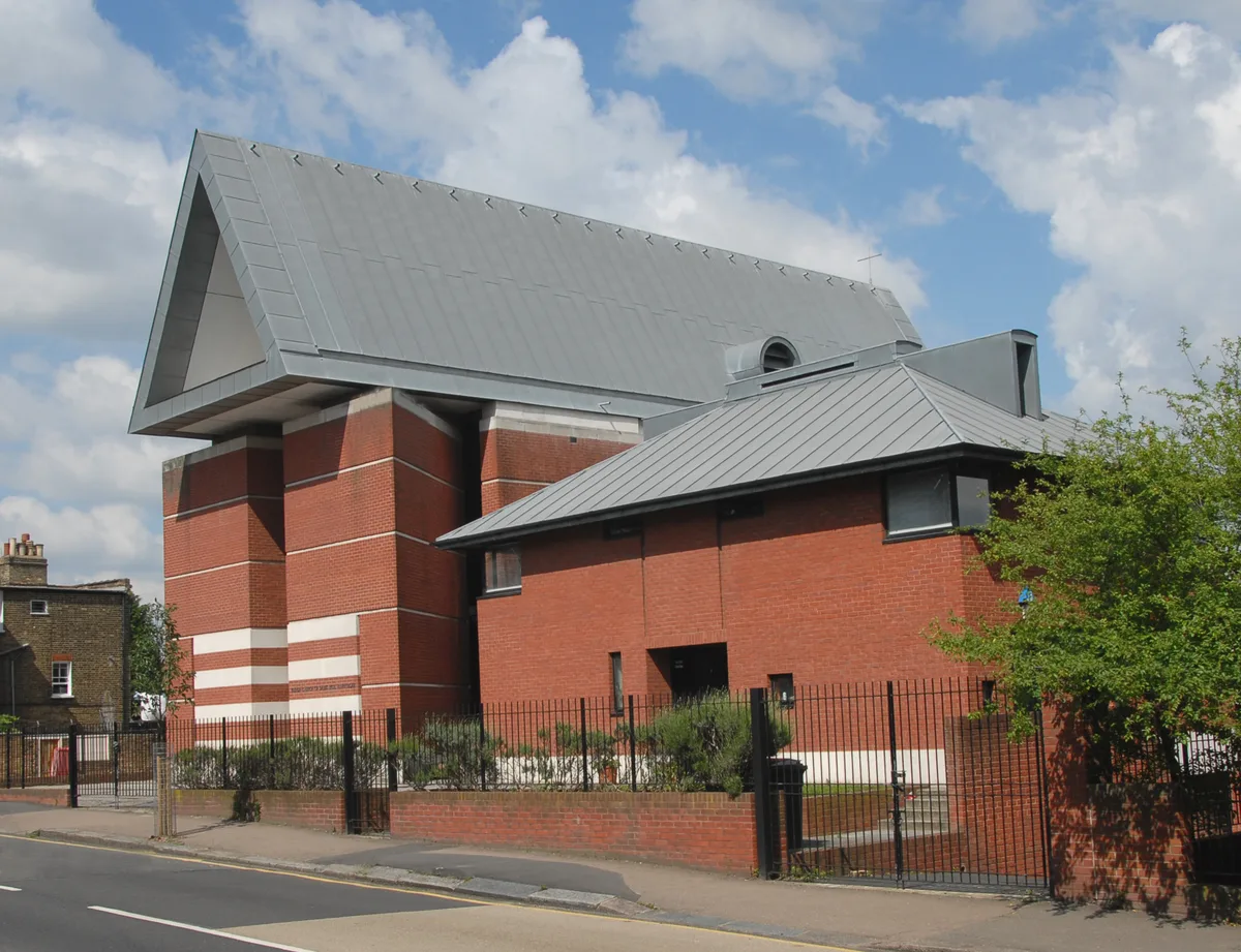
St Paul's Harringay
Historic churches · 0.5 km

Pallette And Frame
Galleries · 0.6 km

ArtHouse Crouch End
Theatres · 0.7 km

Light House
Gardens · 0.7 km

Crouch End Picturehouse
Cinemas · 0.7 km

Laurie Cunningham
Memorials & monuments · 0.7 km
YMCA London City and North
Hostels · 0.7 km

The Wave Sculpture
Public art & sculpture · 0.7 km

Queens, Crouch End
Historic pubs · 0.7 km
Carswell Prentice
Memorials & monuments · 0.7 km
Nearby
📷 5Memorials & monuments · London
Site Of The Stationers Company School
Site Of The Stationers Company School — a memorial in London, United Kingdom.
📷 5Chapels · London
Stroud Green
Stroud Green — a methodist chapel in england-london, United Kingdom.
📷 5Historic churches · London
St Paul's Harringay
St Paul's Harringay — church building in Haringey, London, England, UK.
📷 5📷 5📷 5Where to eat & stay near Stationers Park
Places to stay
📷 5Hostels · London
YMCA London City and North
YMCA London City and North — a hostel in england london.
 📷 5
📷 5 📷 5
📷 5Hotels · London
Best Western London Highbury
Best Western London Highbury — a hotel in england london. 3-star. Brand: Best Western.
 📷 7
📷 7 📷 5
📷 5 📷 5
📷 5Places to eat & drink
📷 7Historic pubs · London
Queens, Crouch End
Queens, Crouch End in England London, United Kingdom.
 📷 5
📷 5 📷 5
📷 5Historic pubs · London
Great Northern Railway
Great Northern Railway in England London, United Kingdom.
 📷 7
📷 7 📷 5
📷 5Historic pubs · London
The Winchester, Highgate
The Winchester, Highgate in England London, United Kingdom.
 📷 7
📷 7Historic pubs · London
Owl and Hitchhiker Public House
Owl and Hitchhiker Public House in England London, United Kingdom.
More parks in this region
 Flagship📷 10
 📷 10
📷 10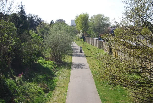 Flagship📷 10
Parks · London
Addiscombe Railway Park
Addiscombe Railway Park — park in London Borough of Croydon, United Kingdom.
 Flagship📷 10
Parks · London
Alexandra Park
Alexandra Park — park in the London Borough of Haringey.
Frequently asked questions
- Where is Stationers Park?
- Stationers Park is in London, United Kingdom (postcode N8 9NS), in the parish of Haringey, unparished area.
- What is Stationers Park?
- Stationers Park — a 1.5-hectare park in the London Borough of Haringey.
- How do I get to Stationers Park?
- The nearest railway station is Harringay, about 0.5 km away. The nearest town is City of London. Drivers can use postcode N8 9NS.
- Is Stationers Park free to visit?
- Yes, Stationers Park is free to enter.
- How do I get to Stationers Park?
- The nearest railway station is Harringay, about 0.5 km away. Drivers can navigate to postcode N8 9NS.