
Parks · London
Addington Hills
In or near Farleigh.
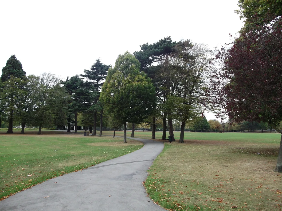
Addington Hills — park in the United Kingdom.

Wikimedia Commons contributors — see linked file page for photographer and licence licence

Plan your visit
- Typical visit
- 1 h–2 h
- Nearest railway station
- South Croydon · 2.5 km
- Free entry
- Family-friendly
- Dog-friendly
Getting there & planning your visit
Addington Hills is located in Croydon, London, with the nearest railway station being South Croydon, which is 2.5 km away. Entry to the park is free.
About
Addington Hills is a public park in the United Kingdom. It covers approximately 130 km². Wikidata describes it as: "park in the United Kingdom". Coordinates: 51.3630°, -0.0580°.
Photo gallery
From the Wikipedia article
Addington Hills (also referred to as Shirley Hills) is a park in Upper Shirley, London, England. It is managed by the London Borough of Croydon. It was part of the old parish of Addington before the suburb of Shirley was developed in the 1930s. The site consists largely of woodland on a gravel bed, with London's largest area of heathland at its heart. It is a Site of Metropolitan Importance. In the mid-18th century, it was a noted cricket venue used by the then-prominent Addington Cricket Club. Addington Hills and Croham Hurst, a short distance to the southwest, form popular open spaces in Croydon. It is a peaceful area with many pathways, close to central Croydon. There is a viewpoint with fine views across Croydon and across to north London, including Docklands and Parliament Hill. It is served by Coombe Lane tram stop on the London Tramlink route to New Addington which runs along the southern edge of the land. The park covers an area of 130 acres (53 ha). The London Loop path runs through the park. The park is fully accessible at all times.
Excerpt from Wikipedia under CC BY-SA 4.0. See the source article linked in Sources below.
Background
Description
]] Addington Hills reaches 460 feet (140 m) above sea level. The terrain drops sharply to the north, exposing the hills' pebbly composition at the end of the gullies. Addington Hills borders Coombe Park / Lloyd Park on its west and Coombe Wood on its south. The area was originally called the hill of Pripledeane or Prible Dean, a name meaning "Gravel Valley" that came from the Middle English words prebel ("gravel") and dene ("valley"). The land was acquired by Croydon Board of Health in four parts over a 45-year period.
Sourced from Wikipedia under CC BY-SA 4.0.
- Coordinates
- 51.3630, -0.0580
- District
- Croydon
- Parish
- Croydon, unparished area
- Postcode
- CR0 5HL
- Parliamentary constituency
- Croydon East
- Nearest railway station
- South Croydon — 2.5 km
- Opening
- All year
Sources
- wikidata: Q1785211 (CC0)
- wikipedia: Addington Hills (CC BY-SA 4.0)
- commons: Addington-hills-view.jpg (CC BY-SA 4.0)
Other places nearby

Heathfield
Gardens · 0.7 km

Shirley Windmill
Windmills · 0.7 km
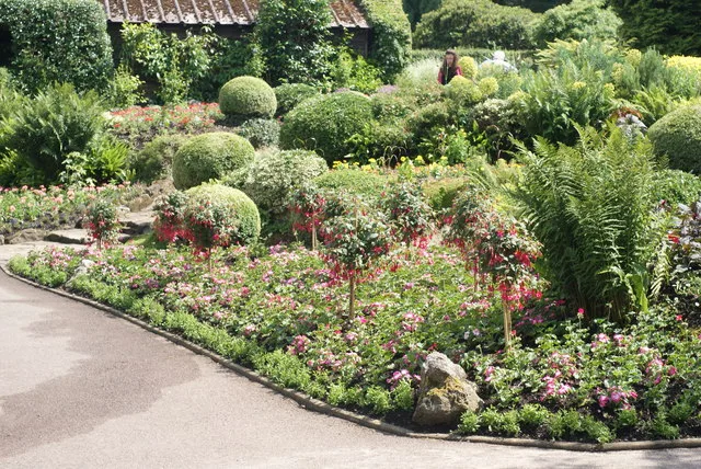
Coombe Wood
Country parks · 0.7 km

Coombe
Chapels · 0.8 km

Royal Russell School
Natural landmarks · 0.8 km

Bramley Bank
Forests & woodlands · 0.9 km
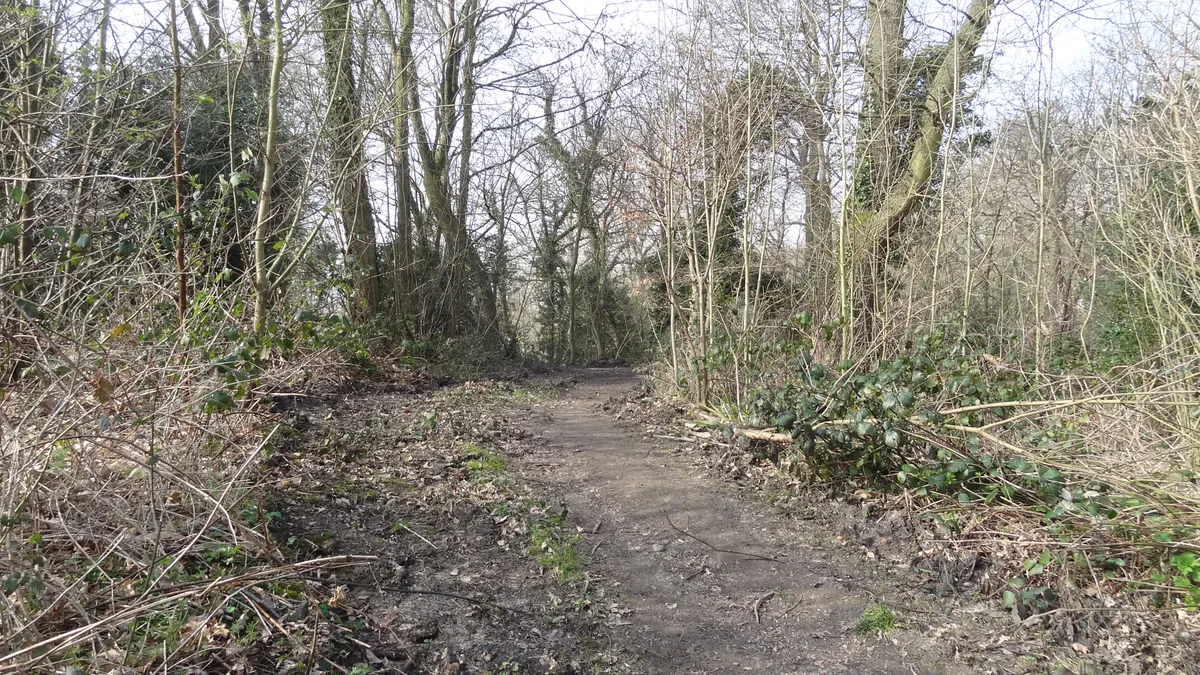
Bramley Bank
Wildlife reserves · 1.0 km

The Wilderness
Gardens · 1.0 km
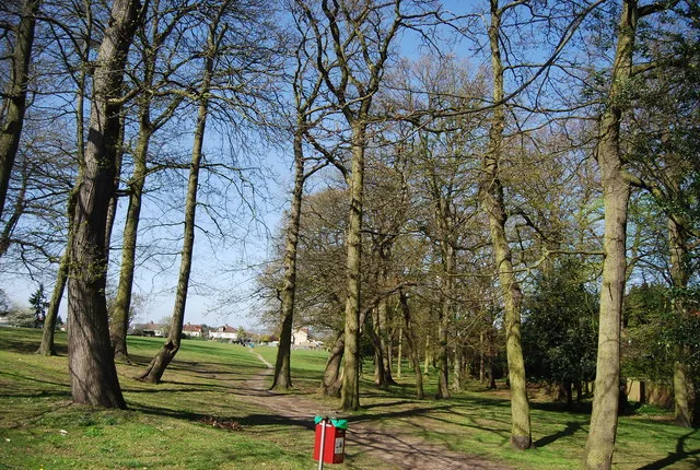
Shirley Church Recreation Ground
Country parks · 1.2 km
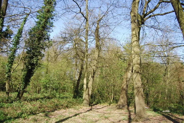
Foxes Wood
Country parks · 1.3 km

Croydon & District Synagogue
Historic churches · 1.4 km
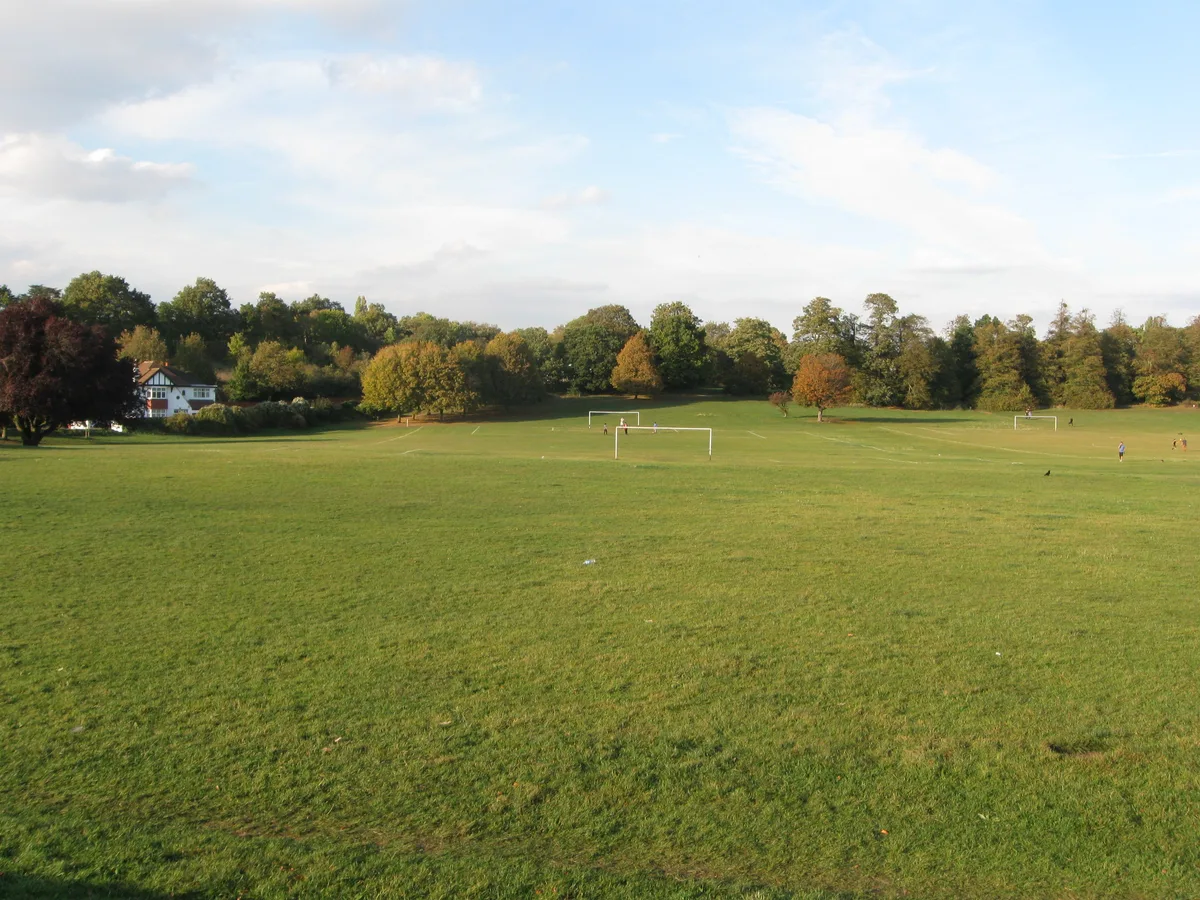
Lloyd Park
Country parks · 1.5 km
Nearby
📷 5Gardens · London
Heathfield
Heathfield — a garden in england-london, United Kingdom.
📷 5Windmills · London
Shirley Windmill
Shirley Windmill is a windmill in the United Kingdom.
Flagship📷 10Country parks · London
Coombe Wood
Coombe Wood — woodland and garden area in the London Borough of Croydon.
📷 5📷 5Natural landmarks · London
Royal Russell School
Royal Russell School — a school heritage in england-london, United Kingdom.
📷 5Forests & woodlands · London
Bramley Bank
Bramley Bank is a forest or woodland in the United Kingdom.
Where to eat & stay near Addington Hills
Places to stay
 📷 5
📷 5Campsites · London
Bears Wood Scout Campsite
Bears Wood Scout Campsite — a campsite in england london.
 📷 7
📷 7Hotels · London
Hampton by Hilton London Croydon
Hampton by Hilton London Croydon — a hotel in england london. 3.5-star. Brand: Hampton.
 📷 7
📷 7Hotels · London
Holiday Inn Express London-Croydon
Holiday Inn Express London-Croydon — a hotel in england london. 3-star. Brand: Holiday Inn Express.
 📷 5
📷 5Campsites · London
Frylands Wood Scout Outdoor Centre
Frylands Wood Scout Outdoor Centre — a campsite in england london.
 📷 5
📷 5 📷 7
📷 7Hotels · London
London Croydon Aerodrome Hotel, BW Signature Collection
London Croydon Aerodrome Hotel, BW Signature Collection — a hotel in england london. 4-star. Brand: Best Western.
Places to eat & drink
 📷 5
📷 5 📷 5
📷 5 📷 5
📷 5 📷 5
📷 5 📷 5
📷 5Restaurants · London
Park Place
Park Place — a restaurant in england london. Cuisine: british. Brand: Toby Carvery.
 📷 5
📷 5Historic pubs · London
Burn Bullock Public House
Burn Bullock Public House in England London, United Kingdom.
More parks in this region
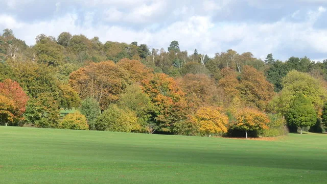 📷 10
📷 10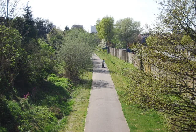 Flagship📷 10
Parks · London
Addiscombe Railway Park
Addiscombe Railway Park — park in London Borough of Croydon, United Kingdom.
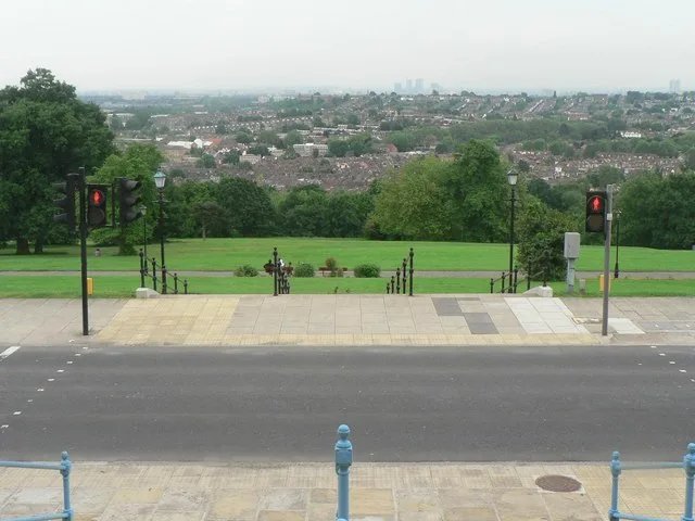 Flagship📷 10
Parks · London
Alexandra Park
Alexandra Park — park in the London Borough of Haringey.
 Flagship📷 10
Parks · London
Ashburton Park
Ashburton Park — park in the United Kingdom.
Frequently asked questions
- Where is Addington Hills?
- Addington Hills is in London, United Kingdom (postcode CR0 5HL), in the parish of Croydon, unparished area.
- What is Addington Hills?
- Addington Hills — park in the United Kingdom.
- How do I get to Addington Hills?
- The nearest railway station is South Croydon, about 2.5 km away. Drivers can use postcode CR0 5HL.
- Who owns Addington Hills?
- Addington Hills is owned by London Borough of Croydon.
- Is Addington Hills free to visit?
- Yes, Addington Hills is free to enter.
- How do I get to Addington Hills?
- The nearest railway station is South Croydon, about 2.5 km away. Drivers can navigate to postcode CR0 5HL.