Reservoirs & lochs · North East England
Startforth Rural District
In or near Startforth.
Startforth Rural District in England North East, United Kingdom.

Andy Waddington — CC BY-SA 2.0 via Wikimedia Commons licence
Plan your visit
- Typical visit
- 1 h–2.5 h
- Free entry
- Dog-friendly
About
Startforth Rural District is a place of interest in England North East, United Kingdom — drawn from open-data sources for visitor reference. See the linked Wikipedia article for the full description.
Photo gallery
Protected designations
- Area of Outstanding Natural Beauty: North Pennines
Designations sourced from Natural England open data under OGL v3.
From the Wikipedia article
Startforth Rural District was a rural district in the North Riding of the historic county of Yorkshire in the Pennines of northern England. It was formed in 1894 under the Local Government Act 1894. It constituted the part of the Teesdale Rural Sanitary District that was in the North Riding (the rest being in County Durham). In 1974, the district was abolished and became, for administrative purposes, part of the Teesdale district of the non-metropolitan county of County Durham. It comprised the area south of the River Tees between Cow Green Reservoir and Gainford, and north of the modern administrative border between County Durham and North Yorkshire. The area is hilly and fairly sparsely populated. Places within it included; Villages Barningham Boldron Bowbank Bowes Brignall Cotherstone Gilmonby Grassholme Greta Bridge Hutton Magna Holwick Hunderthwaite Hury Lartington Mickleton Ovington Romaldkirk Scargill Startforth Thringarth Wycliffe Dales Baldersdale Deep Dale Lunedale Teesdale (south side only) Reservoirs and lakes Balderhead Blackton Fish Lake Grassholme Hury Selset Fells and moors Barningham Moor Bowes Moor Cotherstone Moor Cronkley Fell Holwick Fell Hope Moor Hunderthwaite Moor Lune Moor Mickle Fell Scargill High Moor Sleightholme Moor Forests Lune Stainmore Rivers and becks River Balder Deepdale Beck River Greta Roads A66 A67 B6276 B6277 The Pennine Way also passes through the area.
Excerpt from Wikipedia under CC BY-SA 4.0. See the source article linked in Sources below.
- Coordinates
- 54.5500, -1.9740
- District
- County Durham
- Parish
- Lartington
- Postcode
- DL12 9DE
- Parliamentary constituency
- Bishop Auckland
Sources
- wikidata: Q7602559 (CC0)
- wikipedia: Startforth Rural District (CC BY-SA 4.0)
Other places nearby

Lartington
Castles · 0.5 km
Lartington railway station
Castles · 0.6 km

Lartington Hall
Historic houses · 0.7 km

Barnard Castle Camping and Caravanning Club Site
Campsites · 1.0 km

Pecknell Farm Caravan Site
Caravan parks · 1.3 km

Deepdale
Castles · 1.5 km

Crag Force
Waterfalls · 1.8 km

Cotherstone railway station
Castles · 2.0 km

Tees railway viaduct
Castles · 2.1 km

Teesdale Barnard Castle Caravan & Motorhome Club Campsite
Caravan parks · 2.2 km

North Gill Bridge
Historic bridges · 2.2 km

Prehistoric defended settlement 500m north west of West Holme House
Vineyards · 2.4 km
Nearby
📷 4📷 4Castles · North East England
Lartington railway station
Lartington railway station in England North East, United Kingdom.
📷 4Historic houses · North East England
Lartington Hall
Lartington Hall in England North East, United Kingdom.
📷 5Campsites · North East England
Barnard Castle Camping and Caravanning Club Site
Barnard Castle Camping and Caravanning Club Site — a campsite in england north east.
📷 5Caravan parks · North East England
Pecknell Farm Caravan Site
Pecknell Farm Caravan Site — a caravan park in england north east.
📷 4Where to eat & stay near Startforth Rural District
Places to stay
📷 5Campsites · North East England
Barnard Castle Camping and Caravanning Club Site
Barnard Castle Camping and Caravanning Club Site — a campsite in england north east.
📷 5Caravan parks · North East England
Pecknell Farm Caravan Site
Pecknell Farm Caravan Site — a caravan park in england north east.
📷 5Caravan parks · North East England
Teesdale Barnard Castle Caravan & Motorhome Club Campsite
Teesdale Barnard Castle Caravan & Motorhome Club Campsite — a caravan park in england north east.
 📷 5
📷 5Caravan parks · North East England
Marwood Caravan Park
Marwood Caravan Park — a caravan park in england north east.
 📷 5
📷 5Caravan parks · North East England
Doe Park Caravan Site
Doe Park Caravan Site — a caravan park in england north east.
 📷 5
📷 5Campsites · North East England
The Old Armoury Campsite
The Old Armoury Campsite — a campsite in england north east.
Places to eat & drink
 📷 5
📷 5Historic pubs · North East England
The White Swan Public House And Swan Cottage
The White Swan Public House And Swan Cottage in England North East, United Kingdom.
 📷 6
📷 6Historic pubs · North East England
Commercial Hotel
Commercial Hotel in England North East, United Kingdom.
 📷 5
📷 5 📷 6
📷 6Historic pubs · North East England
Cricketers' Arms Public House
Cricketers' Arms Public House in England North East, United Kingdom.
 📷 5
📷 5Historic pubs · North East England
Blue Bell Public House
Blue Bell Public House in England North East, United Kingdom.
 📷 5
📷 5Historic pubs · North East England
Turk's Head Public House
Turk's Head Public House in England North East, United Kingdom.
More places in this region
 📷 2
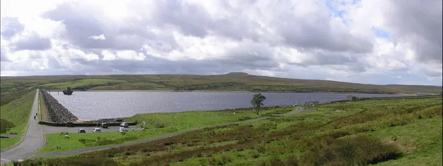
📷 2Reservoirs & lochs · North East England
Balderhead Reservoir
Balderhead Reservoir — reservoir in County Durham, England, UK.
 📷 3
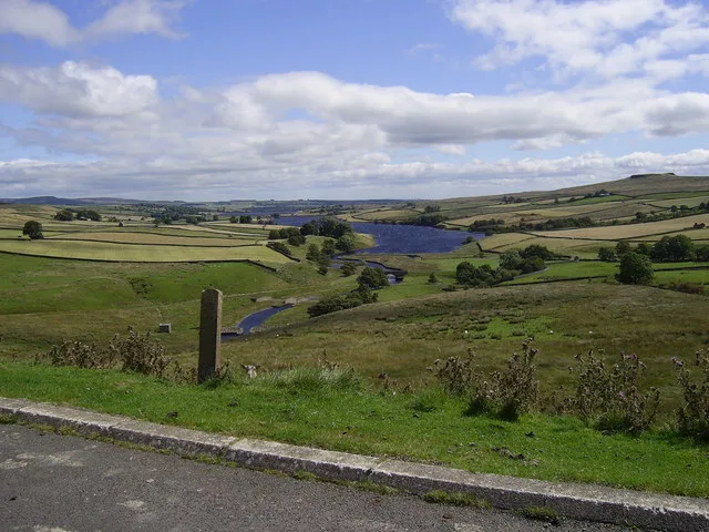
📷 3Reservoirs & lochs · North East England
Blackton Reservoir
Blackton Reservoir — reservoir in County Durham, England, UK.
 📷 5
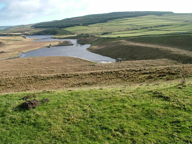
📷 5Reservoirs & lochs · North East England
Grassholme Reservoir
Grassholme Reservoir — reservoir in County Durham, England, UK.
 📷 3
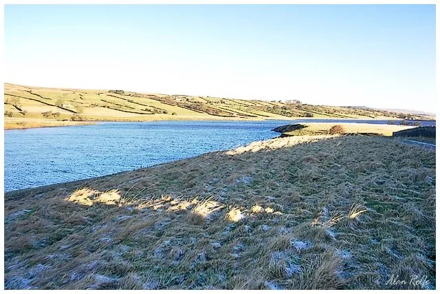
📷 3Reservoirs & lochs · North East England
Hury Reservoir
Hury Reservoir — reservoir in County Durham, England, UK.
Frequently asked questions
- Where is Startforth Rural District?
- Startforth Rural District is in North-East England, United Kingdom (postcode DL12 9DE), in the parish of Lartington.
- What is Startforth Rural District?
- Startforth Rural District in England North East, United Kingdom.
- How do I get to Startforth Rural District?
- Drivers can use postcode DL12 9DE.
- Is Startforth Rural District a protected site?
- Yes — Startforth Rural District is part of the North Pennines National Landscape (AONB).
- Is Startforth Rural District free to visit?
- Yes, Startforth Rural District is free to enter.
- How do I get to Startforth Rural District?
- Drivers can navigate to postcode DL12 9DE. It sits within the Bishop Auckland parliamentary constituency.