Castles · North East England
Deepdale
In or near Gilmonby.
Deepdale in England North East, United Kingdom.

john durkin — CC BY-SA 2.0 via Wikimedia Commons licence
Plan your visit
- Typical visit
- 1.5 h–3 h
- Family-friendly
- Limited wheelchair access
About
Deepdale is a place of interest in England North East, United Kingdom — drawn from open-data sources for visitor reference. See the linked Wikipedia article for the full description.
Photo gallery
Protected designations
- Site of Special Scientific Interest: Cotherstone Moor SSSI
- Area of Outstanding Natural Beauty: North Pennines
Designations sourced from Natural England open data under OGL v3.
From the Wikipedia article
Deepdale, sometimes spelt Deep Dale, is a side valley of Teesdale in County Durham, England. In its lower reaches, just west of the town of Barnard Castle, the valley is well wooded, and is a nature reserve, known for its bird life and a population of otters. Deepdale Beck, a tributary of the River Tees, runs through the valley. By the beck is the Great Stone, a glacial erratic from Shap in Cumbria, one of the largest erratics in Teesdale. The valley was once crossed by the Deepdale Viaduct, 2 miles (3 km) west of Barnard Castle. The viaduct was designed by Thomas Bouch (of the Tay Bridge disaster fame) and built in 1861 to carry the South Durham and Lancashire Union Railway. It closed in 1962 and was dismantled in 1963. At the foot of the dale the Deepdale Aqueduct, which is also a footbridge, crosses the River Tees. It was built in 1898, and is a Grade II listed building. Deerbolt army camp Startforth used Deepdale as a training ground until the early 1960s. The road at the bottom of the dale was tarmac with concrete bollards on each side, as you went up the road there was 2 Nissan army huts on the left side of the river a little further up on the right hand side of the road was ditches which are still there but filled with bog plants, these used to have barbed wire over them so the soldiers had to crawl under the wire through the ditches. I think there was 4 in the open area on the right of the road. The road then dips down to a concrete ford and onto the rifle ranges. The open land was used for parking and there was rifle shooting ranges aiming towards the bank next to the back of a concrete roofed building. This was used as a store, the targets were pulled up on top of the bank next to the building.
Excerpt from Wikipedia under CC BY-SA 4.0. See the source article linked in Sources below.
- Coordinates
- 54.5400, -1.9900
- District
- County Durham
- Parish
- Boldron
- Postcode
- DL12 9JJ
- Parliamentary constituency
- Bishop Auckland
Sources
- wikidata: Q15213287 (CC0)
- wikipedia: Deepdale, County Durham (CC BY-SA 4.0)
Other places nearby

Crag Force
Waterfalls · 0.2 km

Startforth Rural District
Reservoirs & lochs · 1.5 km

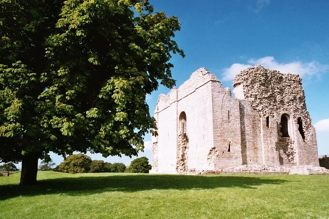
Lartington
Castles · 1.8 km

North Gill Bridge
Historic bridges · 1.8 km
Lartington railway station
Castles · 2.0 km

Barnard Castle Camping and Caravanning Club Site
Campsites · 2.1 km

Lartington Hall
Historic houses · 2.2 km

The Old Armoury Campsite
Campsites · 2.5 km

Pecknell Farm Caravan Site
Caravan parks · 2.7 km

Bowes railway station
Castles · 2.7 km
Bowes
Castles · 2.9 km
Bowes Castle
Castles · 3.0 km
Nearby
📷 5📷 3Reservoirs & lochs · North East England
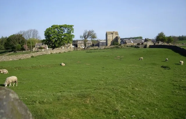
Startforth Rural District
Startforth Rural District in England North East, United Kingdom.
📷 4📷 3Historic bridges · North East England
North Gill Bridge
North Gill Bridge — Grade II listed building-listed bridge in england-north-east, United Kingdom.
📷 4Castles · North East England
Lartington railway station
Lartington railway station in England North East, United Kingdom.
📷 5Campsites · North East England
Barnard Castle Camping and Caravanning Club Site
Barnard Castle Camping and Caravanning Club Site — a campsite in england north east.
Where to eat & stay near Deepdale
Places to stay
📷 5Campsites · North East England
Barnard Castle Camping and Caravanning Club Site
Barnard Castle Camping and Caravanning Club Site — a campsite in england north east.
📷 5Campsites · North East England
The Old Armoury Campsite
The Old Armoury Campsite — a campsite in england north east.
📷 5Caravan parks · North East England
Pecknell Farm Caravan Site
Pecknell Farm Caravan Site — a caravan park in england north east.
 📷 5
📷 5Campsites · North East England
Ivy Hall Farm Campsite
Ivy Hall Farm Campsite — a campsite in england north east.
 📷 5
📷 5Caravan parks · North East England
Teesdale Barnard Castle Caravan & Motorhome Club Campsite
Teesdale Barnard Castle Caravan & Motorhome Club Campsite — a caravan park in england north east.
 📷 5
📷 5Caravan parks · North East England
Doe Park Caravan Site
Doe Park Caravan Site — a caravan park in england north east.
Places to eat & drink
 📷 5
📷 5Historic pubs · North East England
The White Swan Public House And Swan Cottage
The White Swan Public House And Swan Cottage in England North East, United Kingdom.
 📷 5
📷 5Historic pubs · North East England
Blue Bell Public House
Blue Bell Public House in England North East, United Kingdom.
 📷 6
📷 6Historic pubs · North East England
Commercial Hotel
Commercial Hotel in England North East, United Kingdom.
 📷 5
📷 5 📷 5
📷 5Historic pubs · North East England
Turk's Head Public House
Turk's Head Public House in England North East, United Kingdom.
 📷 6
📷 6Historic pubs · North East England
Cricketers' Arms Public House
Cricketers' Arms Public House in England North East, United Kingdom.
More castles in this region
 📷 3
📷 3Castles · North East England
Scargill Castle
Scargill Castle — house in Scargill, County Durham, England, UK.
 📷 3
📷 3Castles · North East England
Roper Castle or Round Table (Roman Signal Station)
Roper Castle or Round Table (Roman Signal Station) — a castle in england-north-west, United Kingdom.
 📷 5
📷 5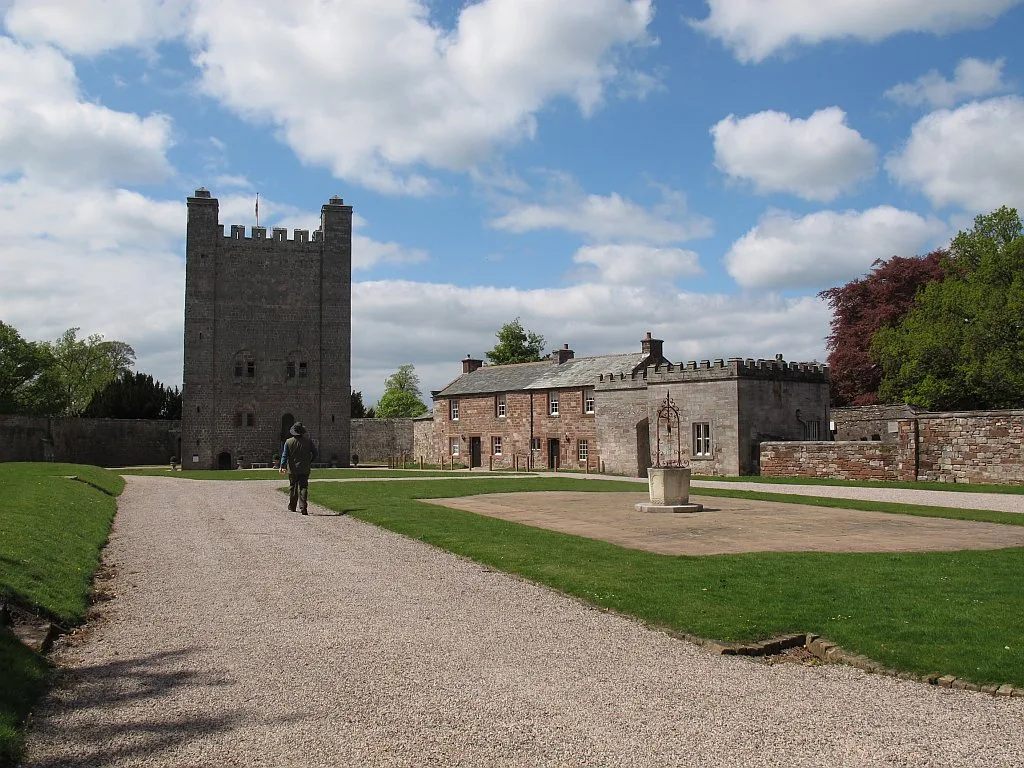 📷 5
📷 5Castles · North East England
Appleby Castle
Appleby Castle — Grade I listed English country house in Appleby-in-Westmorland, United Kingdom.
Frequently asked questions
- Where is Deepdale?
- Deepdale is in North-East England, United Kingdom (postcode DL12 9JJ), in the parish of Boldron.
- What is Deepdale?
- Deepdale in England North East, United Kingdom.
- How do I get to Deepdale?
- Drivers can use postcode DL12 9JJ.
- Is Deepdale a protected site?
- Yes — Deepdale is part of the Cotherstone Moor SSSI Site of Special Scientific Interest and the North Pennines National Landscape (AONB).
- Does Deepdale charge admission?
- Deepdale typically charges admission. Check the official site for current ticket prices and opening hours.
- How do I get to Deepdale?
- Drivers can navigate to postcode DL12 9JJ. It sits within the Bishop Auckland parliamentary constituency.