
Aqueducts · Yorkshire & the Humber
Stanley Ferry Aqueduct
In or near Wakefield.
Stanley Ferry Aqueduct — Grade I listed aqueduct in West Yorkshire, England.

Wikimedia Commons contributors — see linked file page for photographer and licence licence

Plan your visit
- Typical visit
- 30 min–1 h
- Nearest railway station
- Normanton · 2.6 km
- Free entry
- Dog-friendly
Getting there & planning your visit
To visit Stanley Ferry Aqueduct, the nearest railway station is Normanton, which is 2.6 km away. The postcode for the aqueduct is WF3 4LZ, and entry is free.
About
Stanley Ferry Aqueduct is a aqueduct in the United Kingdom. Heritage designation: scheduled monument. Wikidata describes it as: "Grade I listed aqueduct in West Yorkshire, England". Coordinates: 53.7024°, -1.4626°.
Photo gallery
From the Wikipedia article
Stanley Ferry Aqueduct was built between 1836 and 1839 to take the Aire and Calder Navigation over the River Calder in West Yorkshire, England. It is one of the earliest through arch bridges in the world and is considered to be the longest span aqueduct executed in cast iron. Designed by George Leather Sr. and built by H. McIntosh, the aqueduct has a span of 165 feet (50 m), a width of 24 feet (7.3 m) and a depth of 8.5 feet (2.6 m). It is still in use today, though an additional wider concrete aqueduct was constructed alongside in 1981 and the bridge was then renovated. Stanley Ferry is also the place where the Tom Pudding tub boats were loaded with coal from local collieries between 1863 and 1985 and transported down to Goole in long trains by canal. The site is one of three historic fords crossing the River Calder near Wakefield. Because the water was deepened for navigation a ferry became necessary, but was replaced by the first bridge in 1879. Like many through arch bridges, the design of the bridge is often confused with the tied-arch bridge; many bridges have both characteristics. However in this case the bridge is of cast iron, which would be weak in tension. Although the aqueduct channel is in the right position to act in tying the arch, it would have no strength in this direction. At Stanley Ferry, the outward sideways thrust of the arch is retained by its abutments, as for the simple arch bridge.
Excerpt from Wikipedia under CC BY-SA 4.0. See the source article linked in Sources below.
- Coordinates
- 53.7024, -1.4626
- District
- Wakefield
- Parish
- Wakefield, unparished area
- Postcode
- WF3 4LZ
- Parliamentary constituency
- Wakefield and Rothwell
- Nearest railway station
- Normanton — 2.6 km
- Opening
- |rebuilt =
Sources
- wikidata: Q7599594 (CC0)
- wikipedia: Stanley Ferry Aqueduct (CC BY-SA 4.0)
- commons: StanleyFerryAqueduct.jpg (CC BY-SA 4.0)
Featured in this guide
Other places nearby

Everglow
Public art & sculpture · 1.3 km

Stanley Cemetery
Cemeteries · 1.4 km

Picture House, Stanley
Theatres · 1.5 km

Stanley
Villages · 1.5 km

Newmarket Stadium
Stadiums · 1.6 km

Stanley, West Yorkshire
Museums · 1.6 km

Clarke Hall
Historic houses · 1.6 km

Wakefield City Academy
Natural landmarks · 1.8 km

Aire And Calder Navigation - Floodlock Gates And Overbridge Approximately 100 Metres North Of Broadreach Lock
Historic bridges · 1.8 km

Altofts Cemetery
Cemeteries · 1.9 km

Fieldhead Hospital
Museums · 2.0 km
Mental Health Muesum
Museums · 2.1 km
Nearby
📷 5Public art & sculpture · Yorkshire & the Humber
Everglow
Everglow — a public art in Yorkshire & the Humber, United Kingdom.
📷 3Cemeteries · Yorkshire & the Humber
Stanley Cemetery
Stanley Cemetery is a cemetery in the United Kingdom.
📷 3Theatres · Yorkshire & the Humber
Picture House, Stanley
Picture House, Stanley in England Yorkshire, United Kingdom.
📷 5📷 3Stadiums · Yorkshire & the Humber
Newmarket Stadium
Newmarket Stadium — proposed stadium in Wakefield, England.
📷 5Museums · Yorkshire & the Humber
Stanley, West Yorkshire
Stanley, West Yorkshire — a museum in england-yorkshire, United Kingdom.
Where to eat & stay near Stanley Ferry Aqueduct
Places to stay
 📷 5
📷 5Hotels · Yorkshire & the Humber
Premier Inn Wakefield City North
Premier Inn Wakefield City North — a hotel in england yorkshire. 3-star. Brand: Premier Inn.
 📷 5
📷 5Hotels · Yorkshire & the Humber
Bank House Hotel
Bank House Hotel — a hotel in england yorkshire.
 📷 5
📷 5Caravan parks · Yorkshire & the Humber
Heath Common Travelers Site
Heath Common Travelers Site — a caravan park in england yorkshire.
 📷 5
📷 5Hotels · Yorkshire & the Humber
Oulton Hall Hotel
Oulton Hall Hotel — a hotel in england yorkshire.
 📷 5
📷 5Caravan parks · Yorkshire & the Humber
Nostell Holiday Park
Nostell Holiday Park — a caravan park in england yorkshire.
 📷 5
📷 5Caravan parks · Yorkshire & the Humber
Broadlands Farm Caravan Site
Broadlands Farm Caravan Site — a caravan park in england yorkshire.
Places to eat & drink
 📷 5
📷 5Historic pubs · Yorkshire & the Humber
The Wakefield Arms
The Wakefield Arms in England Yorkshire, United Kingdom.
 📷 5
📷 5Historic pubs · Yorkshire & the Humber
The Original Alfred Moody's Public House
The Original Alfred Moody's Public House in England Yorkshire, United Kingdom.
 📷 5
📷 5Restaurants · Yorkshire & the Humber
Toby Carvery
Toby Carvery — a restaurant in england yorkshire. Cuisine: british. Brand: Toby Carvery.
 📷 5
📷 5 📷 7
📷 7Historic pubs · Yorkshire & the Humber
The British Oak
The British Oak in England Yorkshire, United Kingdom.
 📷 5
📷 5Historic pubs · Yorkshire & the Humber
New Scarborough Inn
New Scarborough Inn in England Yorkshire, United Kingdom.
More places in this region
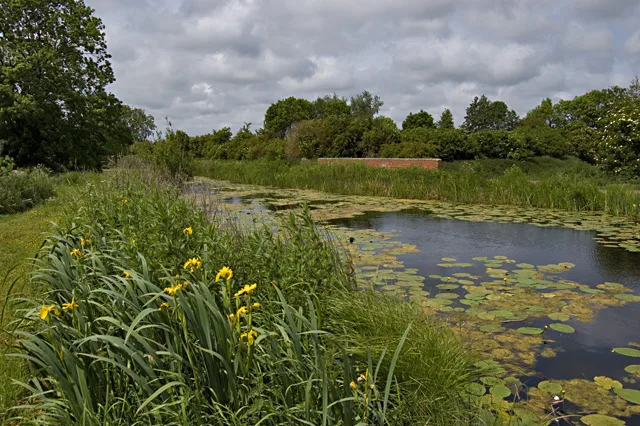 📷 3
📷 3Aqueducts · Yorkshire & the Humber
Aqueduct At Sandholme Farm
Aqueduct At Sandholme Farm — aqueduct in Leven, East Riding of Yorkshire, England, UK.
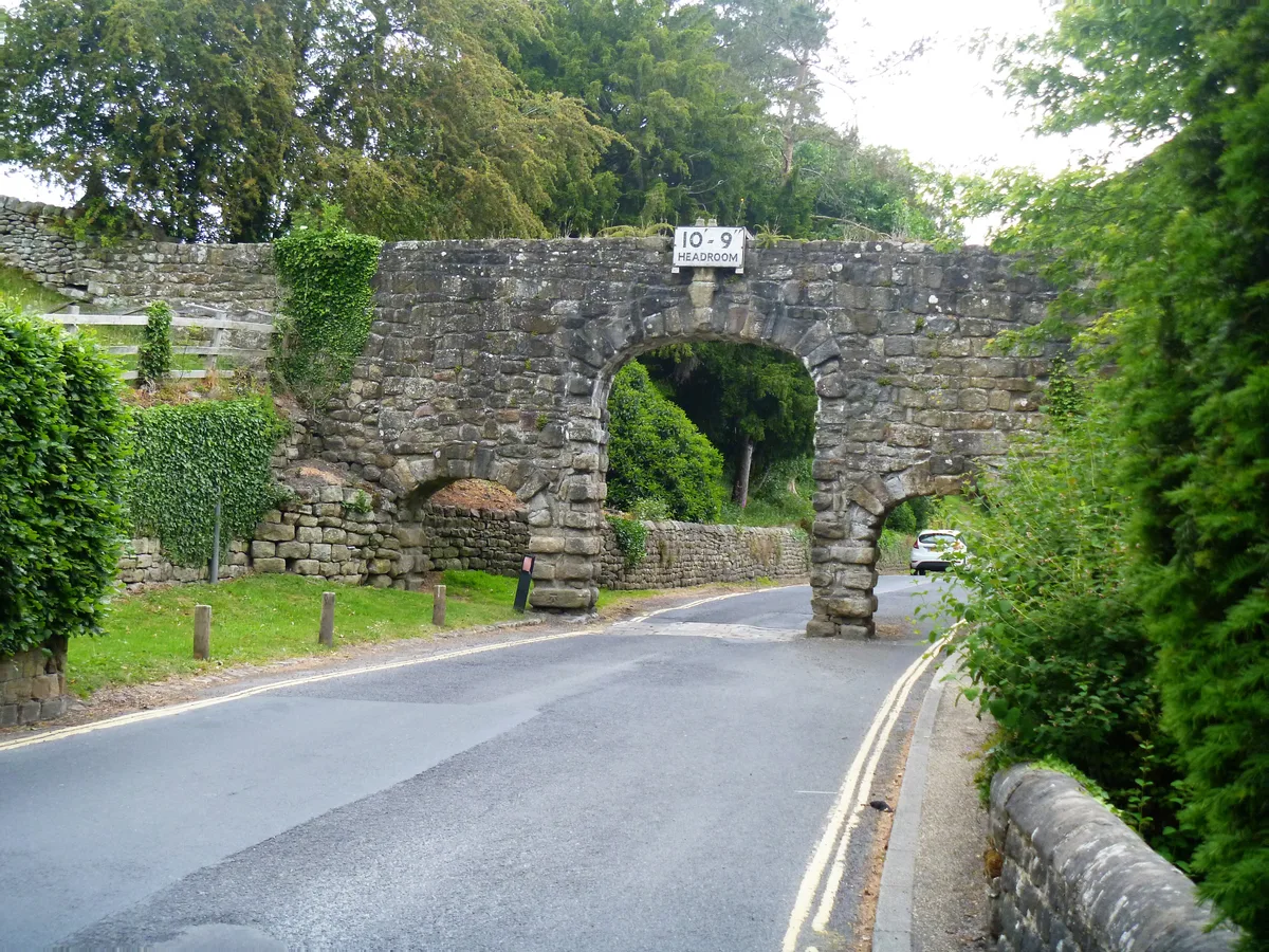 📷 3
📷 3Aqueducts · Yorkshire & the Humber
Aqueduct North Of The Abbey Mill
Aqueduct North Of The Abbey Mill — aqueduct in Bolton Abbey, Craven, North Yorkshire, England, UK.
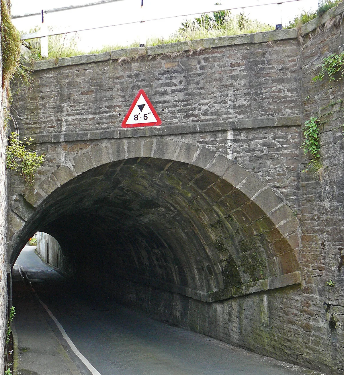 📷 3
📷 3Aqueducts · Yorkshire & the Humber
Aqueduct On Leeds-Liverpool Canal
Aqueduct On Leeds-Liverpool Canal — aqueduct in Farnhill, Craven, North Yorkshire, England, UK.
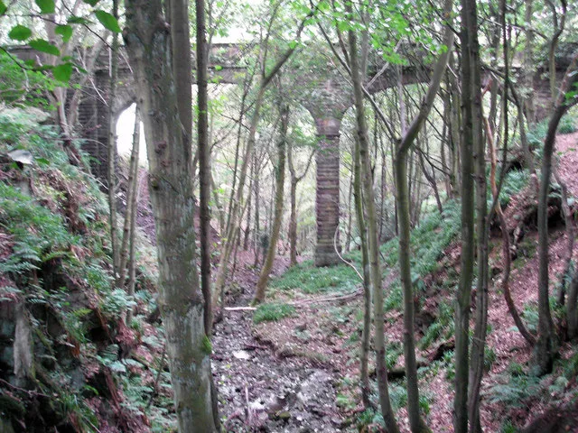 📷 3
📷 3Aqueducts · Yorkshire & the Humber
Barden Aqueduct
Barden Aqueduct — aqueduct in Silsden, Bradford, West Yorkshire, England, UK.
Frequently asked questions
- Where is Stanley Ferry Aqueduct?
- Stanley Ferry Aqueduct is in Yorkshire, United Kingdom (postcode WF3 4LZ), in the parish of Wakefield, unparished area.
- What is Stanley Ferry Aqueduct?
- Stanley Ferry Aqueduct — Grade I listed aqueduct in West Yorkshire, England.
- How do I get to Stanley Ferry Aqueduct?
- The nearest railway station is Normanton, about 2.6 km away. The nearest town is Wakefield. Drivers can use postcode WF3 4LZ.
- Is Stanley Ferry Aqueduct a listed building?
- Stanley Ferry Aqueduct is officially recognised as scheduled monument listed.
- Is Stanley Ferry Aqueduct free to visit?
- Yes, Stanley Ferry Aqueduct is free to enter.
- How do I get to Stanley Ferry Aqueduct?
- The nearest railway station is Normanton, about 2.6 km away. Drivers can navigate to postcode WF3 4LZ.