
Historic churches · East of England
St Mary's Church, Moulton
In or near Halvergate.
St Mary's Church, Moulton — church in Moulton St Mary, Norfolk, England, UK.

Wikimedia Commons contributors — see linked file page for photographer and licence licence

Plan your visit
- Typical visit
- 30 min–1 h
- Nearest railway station
- Acle · 3.3 km
- Free entry
Getting there & planning your visit
To visit St Mary's Church in Moulton, the nearest railway station is Acle, located 3.3 km away. The postcode for sat-nav is NR13 3NW, and entry to the church is free.
About
St Mary's Church, Moulton is a historic church in the United Kingdom. Records date its origin to 1150. Built in the Norman architecture style. Heritage designation: Grade I listed building. Wikidata describes it as: "church in Moulton St Mary, Norfolk, England, UK". Coordinates: 52.6046°, 1.5464°.
Photo gallery
Heritage listing
St Mary's Church is a redundant Anglican round-tower church near the village of Moulton St Mary, Norfolk, England. It is recorded in the National Heritage List for England as a designated Grade I listed building, and is under the care of the Churches Conservation Trust. It stands some 4 kilometres (2 mi) to the south of Acle in an isolated position adjacent to a farm.
From the Historic England List Entry under OGL v3.
Official information
St Mary's Church in Moulton is a historic church known for its architectural features and community significance. Visitors can explore the church's interior and appreciate its heritage.
From the Wikipedia article
St Mary's Church is a redundant Anglican round-tower church near the village of Moulton St Mary, Norfolk, England. It is recorded in the National Heritage List for England as a designated Grade I listed building, and is under the care of the Churches Conservation Trust. It stands some 4 kilometres (2 mi) to the south of Acle in an isolated position adjacent to a farm.
Excerpt from Wikipedia under CC BY-SA 4.0. See the source article linked in Sources below.
Background
History
The tower dates from the 12th century, and the nave and chancel from the 14th century. The south porch was added during the 16th century, and the east wall of the chancel was rebuilt during the 1870s.
Architecture
In the south wall of the chancel is a double piscina and a sedilia. The benches in the chancel date from the 17th century and are carved with poppyheads. The communion rail dates from the same period and is carried on turned balusters and posts. At the southeast corner of the nave are the remains of a former stairway that led to a rood loft. The nave also contains a wall monument to Edmund Anguish who died in 1616. The octagonal pulpit dates from the early 17th century; it is finely carved, and has a backboard and a tester. The font is also octagonal, each face is carved with a pair of blind arches; it dates from the 13th century, and is carried on a central stem and eight shafts.
Sourced from Wikipedia under CC BY-SA 4.0.
- Coordinates
- 52.6046, 1.5464
- County
- Norfolk
- District
- Broadland
- Parish
- Beighton
- Postcode
- NR13 3NW
- Parliamentary constituency
- Broadland and Fakenham
- Established
- 1150
- Nearest railway station
- Acle — 3.3 km
- Official site
- www.visitchurches.org.uk
Sources
- wikidata: Q7594386 (CC0)
- wikipedia: St Mary's Church, Moulton (CC BY-SA 4.0)
- commons: Moulton-g1.jpg (CC BY-SA 4.0)
Other places nearby
War Memorial
Memorials & monuments · 0.0 km

Moulton War Memorial Cross
Memorials & monuments · 0.0 km

Moulton St Mary Village Sign
Public art & sculpture · 1.1 km

Freethorpe
Villages · 1.5 km

Halvergate & Tunstall Village Sign
Public art & sculpture · 1.6 km
Halvergate and Tunstall War Memorial, including gated railings
Memorials & monuments · 1.7 km
War Memorial
Memorials & monuments · 1.7 km

Saint Edmund
Archaeological sites · 1.7 km

Freethorpe War Memorial
Memorials & monuments · 1.9 km

Saint Peter and Saint Paul
Archaeological sites · 2.0 km

Freethorpe Village Sign
Public art & sculpture · 2.1 km
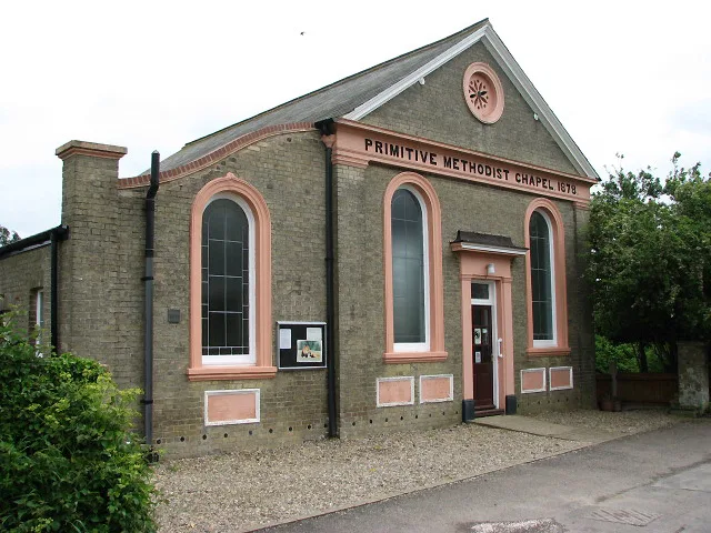
Halvergate
Towns & cities · 2.2 km
Nearby
📷 3Memorials & monuments · East of England
Moulton War Memorial Cross
Moulton War Memorial Cross — Grade II listed building-listed memorial in england-east, United Kingdom.
📷 3Public art & sculpture · East of England
Moulton St Mary Village Sign
Moulton St Mary Village Sign — a public art in East of England, United Kingdom.
📷 5📷 3Public art & sculpture · East of England
Halvergate & Tunstall Village Sign
Halvergate & Tunstall Village Sign — a public art in East of England, United Kingdom.
📷 3Memorials & monuments · East of England
Halvergate and Tunstall War Memorial, including gated railings
Halvergate and Tunstall War Memorial, including gated railings — Grade II listed building-listed memorial in england-east, United Kingdom.
Where to eat & stay near St Mary's Church, Moulton
Places to stay
 📷 5
📷 5 📷 5
📷 5Caravan parks · East of England
The Reedcutter Caravan and Motorhome Club
The Reedcutter Caravan and Motorhome Club — a caravan park in england east.
 📷 5
📷 5 📷 5
📷 5Campsites · East of England
Strumpshaw Steam Museum
Strumpshaw Steam Museum — a campsite in england east.
 📷 5
📷 5Caravan parks · East of England
Reedham Ferry Touring Park
Reedham Ferry Touring Park — a caravan park in england east.
 📷 5
📷 5Caravan parks · East of England
Breydon Yare Holiday Park
Breydon Yare Holiday Park — a caravan park in england east. Brand: Parkdean Resorts.
Places to eat & drink
 📷 5
📷 5Historic pubs · East of England
The Top House Public House, Including Boundary Wall To Yard
The Top House Public House, Including Boundary Wall To Yard in England East, United Kingdom.
 📷 5
📷 5Historic pubs · East of England
St Johns Head Public House
St Johns Head Public House in England East, United Kingdom.
 📷 5
📷 5 📷 5
📷 5Historic pubs · East of England
Dukes Head Public House
Dukes Head Public House in England East, United Kingdom.
 📷 5
📷 5Historic pubs · East of England
Two Necked Swan Public House
Two Necked Swan Public House in England East, United Kingdom.
 📷 5
📷 5Other places from this era
 📷 5
📷 5Historic churches · London
All Hallows Staining
All Hallows Staining — church in City of London, UK.
 📷 5
📷 5Historic churches · London
All Hallows' Church, Tottenham
All Hallows' Church, Tottenham — church in Tottenham, London.
 📷 5
📷 5Historic churches · London
All Saints Church, Kingston upon Thames
All Saints Church, Kingston upon Thames — church in Kingston upon Thames, London.
 📷 5
📷 5Historic churches · London
All Saints' Church, Edmonton
All Saints' Church, Edmonton — church in Edmonton, London.
More places in this region
 📷 5
📷 5Historic churches · East of England
All Saints Church
All Saints Church — church on Jesus Lane in central Cambridge, England.
 📷 5
📷 5Historic churches · East of England
All Saints Church, Conington
All Saints Church, Conington — church in Conington, Huntingdonshire, Cambridgeshire, England, UK.
 📷 5
📷 5Historic churches · East of England
All Saints Church, Vange
All Saints Church, Vange — church in Basildon, Essex, England, UK.
 📷 5
📷 5Historic churches · East of England
All Saints Parish Church, Kirtling
All Saints Parish Church, Kirtling — church in East Cambridgeshire, England, UK.
Frequently asked questions
- Where is St Mary's Church, Moulton?
- St Mary's Church, Moulton is in Norfolk, East of England, United Kingdom (postcode NR13 3NW), in the parish of Beighton.
- What is St Mary's Church, Moulton?
- St Mary's Church, Moulton — church in Moulton St Mary, Norfolk, England, UK.
- How do I get to St Mary's Church, Moulton?
- The nearest railway station is Acle, about 3.3 km away. The nearest town is Halvergate. Drivers can use postcode NR13 3NW.
- When was St Mary's Church, Moulton built?
- Built or established in 1150.
- Is St Mary's Church, Moulton a listed building?
- St Mary's Church, Moulton is officially recognised as Grade I listed building listed.
- Is St Mary's Church, Moulton free to visit?
- Yes, St Mary's Church, Moulton is free to enter.
- How do I get to St Mary's Church, Moulton?
- The nearest railway station is Acle, about 3.3 km away. Drivers can navigate to postcode NR13 3NW.