
Historic churches · North West England
St Mary's Church
In or near Barrowford.
St Mary's Church — church in Newchurch in Pendle, Goldshaw Booth, Pendle, Lancashire, England, UK.

Wikimedia Commons contributors — see linked file page for photographer and licence licence

Plan your visit
- Typical visit
- 30 min–1 h
- Nearest railway station
- Brierfield · 3.7 km
- Free entry
Getting there & planning your visit
To visit St Mary's Church in Pendle, Lancashire, the nearest railway station is Brierfield, located 3.7 km away. The postcode for sat-nav is BB12 9JR, and entry to the church is free.
About
St Mary's Church is a historic church in the United Kingdom. Built in the English Gothic architecture style. Heritage designation: Grade II* listed building. Affiliated with Anglicanism. Wikidata describes it as: "church in Newchurch in Pendle, Goldshaw Booth, Pendle, Lancashire, England, UK". Coordinates: 53.8503°, -2.2705°.
Photo gallery
Protected designations
- Area of Outstanding Natural Beauty: Forest Of Bowland
Designations sourced from Natural England open data under OGL v3.
From the Wikipedia article
St Mary's Church is in the village of Newchurch in Pendle, Lancashire, England. The church is recorded in the National Heritage List for England as a designated Grade II* listed building. It is active Anglican parish church in the diocese of Blackburn, the archdeaconry of Blackburn and the deanery of Pendle. Its benefice is combined with that of St Thomas', Barrowford.
Excerpt from Wikipedia under CC BY-SA 4.0. See the source article linked in Sources below.
Background
History
A chapel of ease was on the site of the present church in 1250. A later chapel was dedicated by the Rt Revd John Bird, Bishop of Chester, on 1 October 1544. It is not known when the tower was built, but it was restored in 1653, and again in 1712. The rest of the building dates from around 1740. In 1815 it was decided to raise to walls of the church to accommodate a gallery. This was built between 1816 and 1817 at a cost of £352 (). In 1830 the church bell was purchased. Restorations took place in 1850 and 1902.
Architecture
In the porch is a memorial containing the names of the men from the parish who lost their lives in the World Wars together with the names of those who served in the armed forces in these wars. Inside the church, to the left of the entrance, are the churchwardens' seats and a board containing the names of the districts into which the parish was divided.
Sourced from Wikipedia under CC BY-SA 4.0.
- Coordinates
- 53.8503, -2.2705
- County
- Lancashire
- District
- Pendle
- Parish
- Goldshaw Booth
- Postcode
- BB12 9JR
- Parliamentary constituency
- Pendle and Clitheroe
- Nearest railway station
- Brierfield — 3.7 km
- Official site
- www.stmarysnewchurchinpendle.org.uk
Sources
- wikidata: Q7594392 (CC0)
- wikipedia: St Mary's Church, Newchurch in Pendle (CC BY-SA 4.0)
- commons: St Mary's Church, Newchurch in Pendle.jpg (CC BY-SA 4.0)
Other places nearby
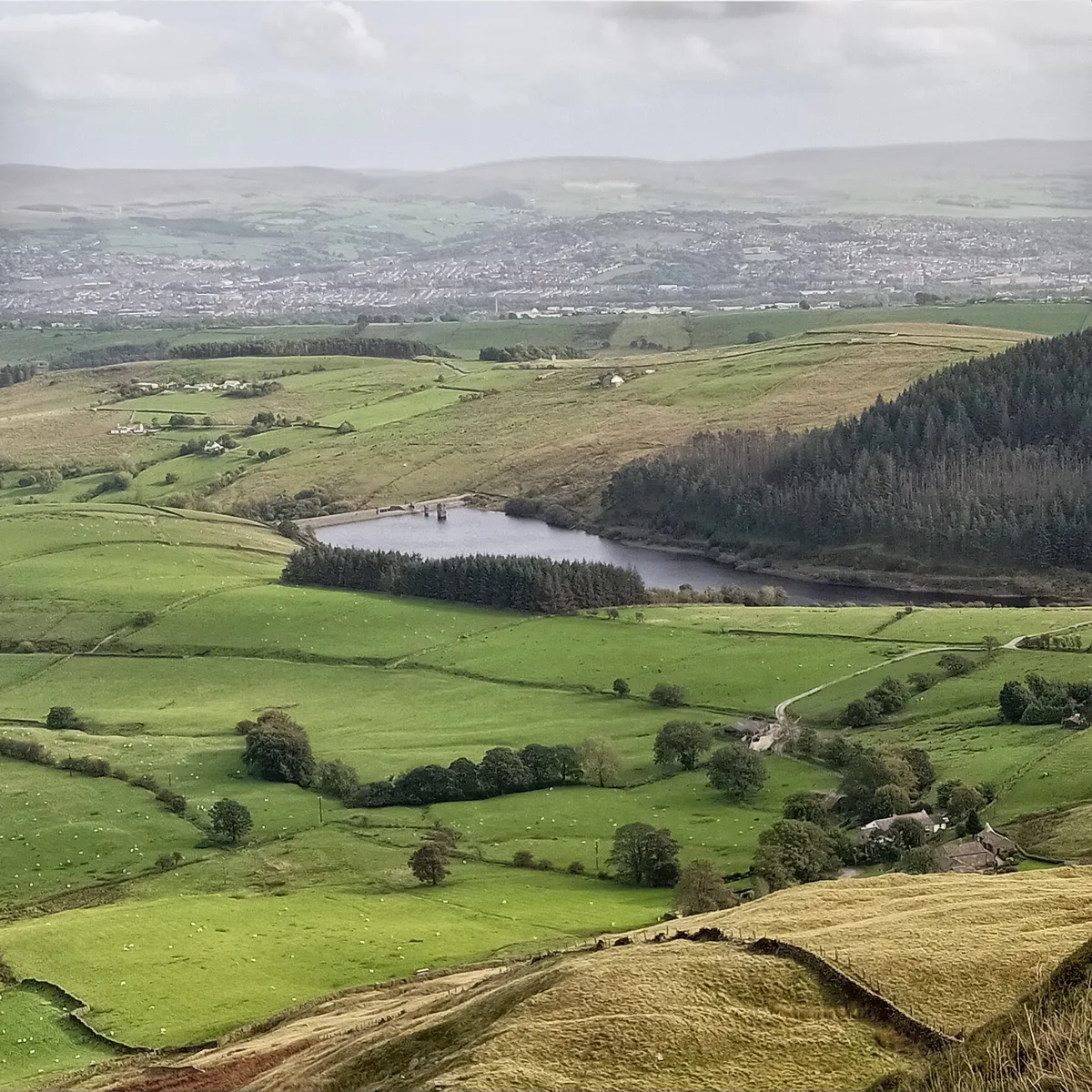
Ogden Reservoirs
Reservoirs & lochs · 0.9 km

Rigg of England
Mountains & hills · 1.5 km

Historic Cottage
Historic houses · 1.6 km
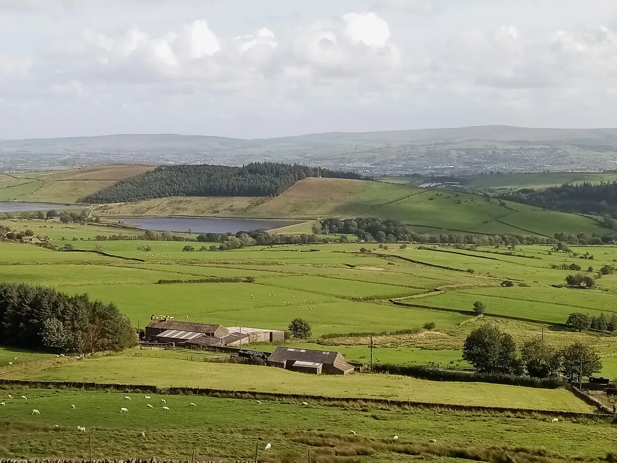
Black Moss Reservoirs
Reservoirs & lochs · 2.0 km

Stang Top Moor
Mountains & hills · 2.0 km

Fence Gate Inn
Restaurants · 2.2 km

Alice Nutter
Public art & sculpture · 2.2 km

Hollin Top
Mountains & hills · 2.3 km
Bay Horse
Historic pubs · 2.3 km
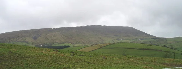
Pendle Hill
Mountains & hills · 2.7 km
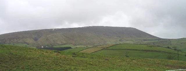
Pendle Hill
Natural landmarks · 2.8 km

Higham War Memorial
Memorials & monuments · 3.1 km
Nearby
📷 5Reservoirs & lochs · North West England
Ogden Reservoirs
Ogden Reservoirs — reservoirs in Lancashire, England, UK.
📷 5Mountains & hills · North West England
Rigg of England
Rigg of England — a hill or mountain in england north west.
📷 3Historic houses · North West England
Historic Cottage
Historic Cottage — a historic house in North West England, United Kingdom.
📷 5Reservoirs & lochs · North West England
Black Moss Reservoirs
Black Moss Reservoirs — reservoirs in Lancashire, England, UK.
📷 5Mountains & hills · North West England
Stang Top Moor
Stang Top Moor — mountain in england north west. Elevation: 327 m.
📷 5Restaurants · North West England
Fence Gate Inn
Fence Gate Inn — a restaurant in england north west.
Where to eat & stay near St Mary's Church
Places to stay
 📷 5
📷 5Caravan parks · North West England
Stubbins Vale Caravan Park
Stubbins Vale Caravan Park — a caravan park in england north west.
 📷 5
📷 5Hotels · North West England
Travelodge
Travelodge — a hotel in england north west.
 📷 5
📷 5Caravan parks · North West England
Holgates Ribble Valley
Holgates Ribble Valley — a caravan park in england north west.
 📷 5
📷 5Caravan parks · North West England
Bridge Heywood Caravan Park
Bridge Heywood Caravan Park — a caravan park in england north west.
 📷 5
📷 5Campsites · North West England
Wiswell Shay Farm CC Site
Wiswell Shay Farm CC Site — a campsite in england north west.
 📷 5
📷 5Campsites · North West England
Lower Greenhill Holiday Park
Lower Greenhill Holiday Park — a campsite in england north west.
Places to eat & drink
📷 5Restaurants · North West England
Fence Gate Inn
Fence Gate Inn — a restaurant in england north west.
📷 5 📷 5
📷 5 📷 5
📷 5Historic pubs · North West England
Cross Gaits Inn
Cross Gaits Inn in England North West, United Kingdom.
 📷 5
📷 5Historic pubs · North West England
Duke Of York Hotel
Duke Of York Hotel in England North West, United Kingdom.
 📷 5
📷 5More places in this region
 📷 3
📷 3Historic churches · North West England
All Saints Chapel, Somerford
All Saints Chapel, Somerford — church in Cheshire East, Cheshire, England, UK.
 📷 3
📷 3Historic churches · North West England
All Saints Church, Church Lawton
All Saints Church, Church Lawton — Grade II* listed church in Church Lawton, Cheshire East, Cheshire, England, UK.
 📷 3
📷 3Historic churches · North West England
All Saints Church, Scholar Green
All Saints Church, Scholar Green — church in Cheshire East, Cheshire, England, UK.
 📷 3
📷 3Historic churches · North West England
All Saints Church, Siddington
All Saints Church, Siddington — church in Cheshire East, Cheshire, England, UK.
Frequently asked questions
- Where is St Mary's Church?
- St Mary's Church is in Lancashire, North-West England, United Kingdom (postcode BB12 9JR), in the parish of Goldshaw Booth.
- What is St Mary's Church?
- St Mary's Church — church in Newchurch in Pendle, Goldshaw Booth, Pendle, Lancashire, England, UK.
- How do I get to St Mary's Church?
- The nearest railway station is Brierfield, about 3.7 km away. The nearest town is Barrowford. Drivers can use postcode BB12 9JR.
- Is St Mary's Church a listed building?
- St Mary's Church is officially recognised as Grade II* listed building listed.
- Is St Mary's Church a protected site?
- Yes — St Mary's Church is part of the Forest Of Bowland National Landscape (AONB).
- Is St Mary's Church free to visit?
- Yes, St Mary's Church is free to enter.
- How do I get to St Mary's Church?
- The nearest railway station is Brierfield, about 3.7 km away. Drivers can navigate to postcode BB12 9JR.