
Reservoirs & lochs · North West England
Ogden Reservoirs
In or near Barrowford.
Ogden Reservoirs — reservoirs in Lancashire, England, UK.

Wikimedia Commons contributors — see linked file page for photographer and licence licence

Plan your visit
- Typical visit
- 1 h–2.5 h
- Nearest railway station
- Brierfield · 4.6 km
- Free entry
- Dog-friendly
About
Ogden Reservoirs is a reservoir in the United Kingdom. Managed by Nelson Corporation Water Works. Wikidata describes it as: "reservoirs in Lancashire, England, UK". Coordinates: 53.8558°, -2.2811°.
Photo gallery
Official information
Ogden Reservoirs consist of Lower and Upper Ogden Reservoirs, which supply drinking water to the Nelson area. The surrounding area features woodlands and offers opportunities for walking and observing local wildlife, including various bird species.
Protected designations
- Area of Outstanding Natural Beauty: Forest Of Bowland
Designations sourced from Natural England open data under OGL v3.
From the Wikipedia article
Upper and Lower Ogden Reservoirs are half a mile to the west of the village of Barley, in the Borough of Pendle, Lancashire, England. Constructed in the early 20th century, they supply drinking water to the town of Nelson. Today they are operated by United Utilities.
Excerpt from Wikipedia under CC BY-SA 4.0. See the source article linked in Sources below.
Background
History
Both reservoirs were built for the Nelson Corporation Waterworks as later parts of a larger scheme that also included the construction of the nearby Black Moss Reservoirs. An act of Parliament was obtained for the project in the late 1880s. Initially water was collected from the river here and purified through filter beds, which began operation in 1892. The Upper Ogden was completed in 1906 and the Lower Ogden in 1914. The upper reservoir has a surface area of 2.84 ha, is 17.9 m deep and can hold 247,755 m3. The lower reservoir is larger, with a surface area of 8.55 ha, a depth of 18 m and a capacity of 715,989 m3.
Sourced from Wikipedia under CC BY-SA 4.0.
- Coordinates
- 53.8558, -2.2811
- County
- Lancashire
- District
- Pendle
- Parish
- Barley-with-Wheatley Booth
- Postcode
- BB12 9JU
- Parliamentary constituency
- Pendle and Clitheroe
- Phone
- 01772 531473
- Established
- 1906
- Nearest railway station
- Brierfield — 4.6 km
- Official site
- www.forestofbowland.com
Sources
- wikidata: Q7079948 (CC0)
- wikipedia: Ogden Reservoirs (CC BY-SA 4.0)
- commons: Ogden Reservoirs.jpg (CC BY-SA 4.0)
Other places nearby
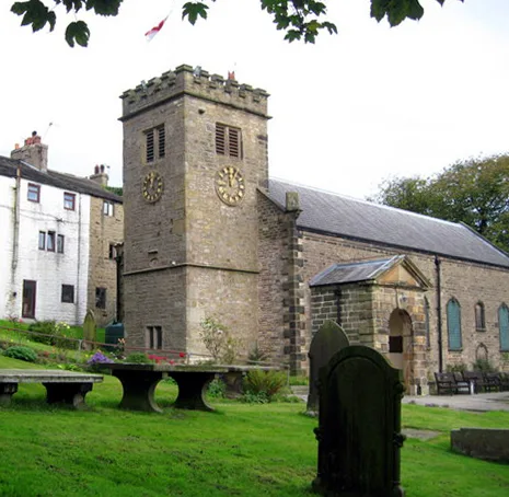
St Mary's Church
Historic churches · 0.9 km

Historic Cottage
Historic houses · 1.2 km
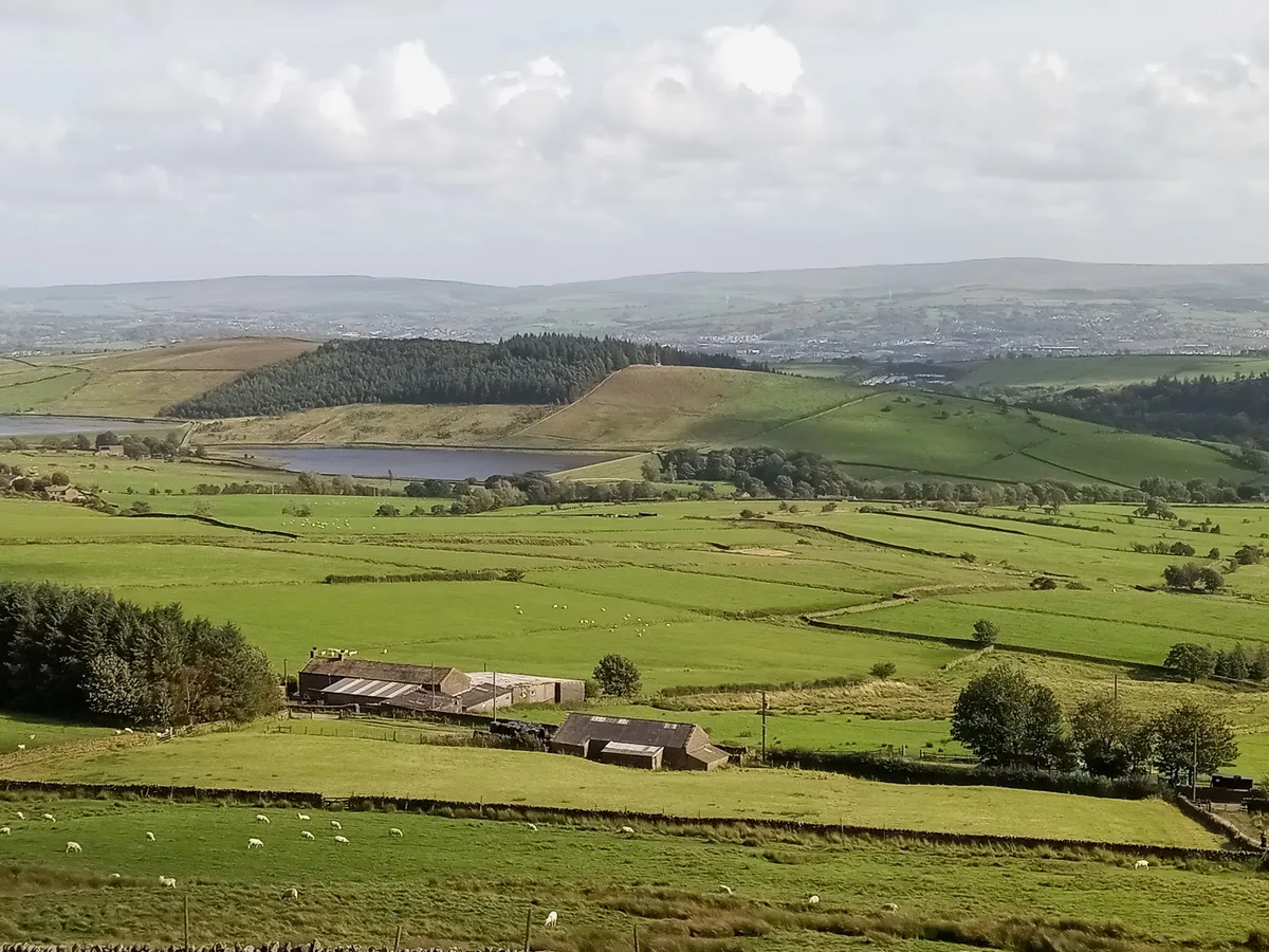
Black Moss Reservoirs
Reservoirs & lochs · 1.7 km
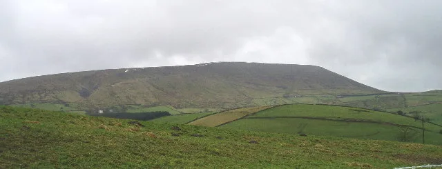
Pendle Hill
Mountains & hills · 1.8 km
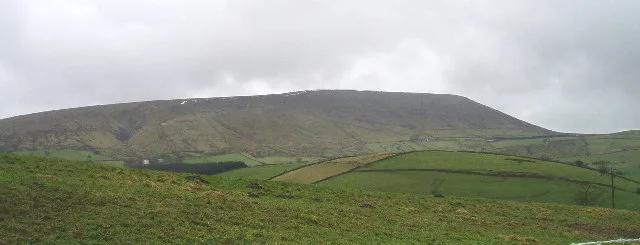
Pendle Hill
Natural landmarks · 1.9 km

Rigg of England
Mountains & hills · 2.0 km

Stang Top Moor
Mountains & hills · 2.0 km

Hollin Top
Mountains & hills · 2.5 km

Alice Nutter
Public art & sculpture · 2.7 km

Fence Gate Inn
Restaurants · 2.9 km
Bay Horse
Historic pubs · 3.0 km

Scout Cairn
Memorials & monuments · 3.0 km
Nearby
📷 3Historic churches · North West England
St Mary's Church
St Mary's Church — church in Newchurch in Pendle, Goldshaw Booth, Pendle, Lancashire, England, UK.
📷 3Historic houses · North West England
Historic Cottage
Historic Cottage — a historic house in North West England, United Kingdom.
📷 5Reservoirs & lochs · North West England
Black Moss Reservoirs
Black Moss Reservoirs — reservoirs in Lancashire, England, UK.
📷 5Mountains & hills · North West England
Pendle Hill
Pendle Hill — Named summit at 558 m.
📷 5Natural landmarks · North West England
Pendle Hill
Pendle Hill — hill in Lancashire, England.
📷 5Mountains & hills · North West England
Rigg of England
Rigg of England — a hill or mountain in england north west.
Where to eat & stay near Ogden Reservoirs
Places to stay
 📷 5
📷 5Caravan parks · North West England
Stubbins Vale Caravan Park
Stubbins Vale Caravan Park — a caravan park in england north west.
 📷 5
📷 5Caravan parks · North West England
Holgates Ribble Valley
Holgates Ribble Valley — a caravan park in england north west.
 📷 5
📷 5Hotels · North West England
Travelodge
Travelodge — a hotel in england north west.
 📷 5
📷 5Campsites · North West England
Wiswell Shay Farm CC Site
Wiswell Shay Farm CC Site — a campsite in england north west.
 📷 5
📷 5Caravan parks · North West England
Bridge Heywood Caravan Park
Bridge Heywood Caravan Park — a caravan park in england north west.
 📷 5
📷 5Caravan parks · North West England
Clitheroe Camping and Caravanning Club Site
Clitheroe Camping and Caravanning Club Site — a caravan park in england north west.
Places to eat & drink
📷 5Restaurants · North West England
Fence Gate Inn
Fence Gate Inn — a restaurant in england north west.
📷 5 📷 5
📷 5 📷 5
📷 5Historic pubs · North West England
Cross Gaits Inn
Cross Gaits Inn in England North West, United Kingdom.
 📷 5
📷 5Historic pubs · North West England
Swan with Two Necks
Swan with Two Necks in England North West, United Kingdom.
 📷 5
📷 5More places run by Nelson Corporation Water Works
📷 5Reservoirs & lochs · North West England
Black Moss Reservoirs
Black Moss Reservoirs — reservoirs in Lancashire, England, UK.
More places in this region
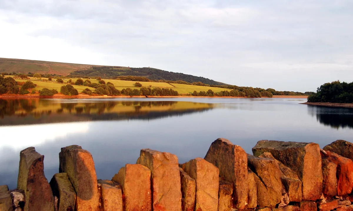 Flagship📷 5
Reservoirs & lochs · North West England
Yarrow Reservoir
Yarrow Reservoir — reservoir in Lancashire, England, UK.
.jpg?width=1200) 📷 3
📷 3Reservoirs & lochs · North West England
Abbey Village Reservoir
Abbey Village Reservoir — reservoir in Lancashire, England, UK.
 📷 3
📷 3Reservoirs & lochs · North West England
Anglezarke Reservoir
Anglezarke Reservoir — reservoir in Lancashire, England, UK.
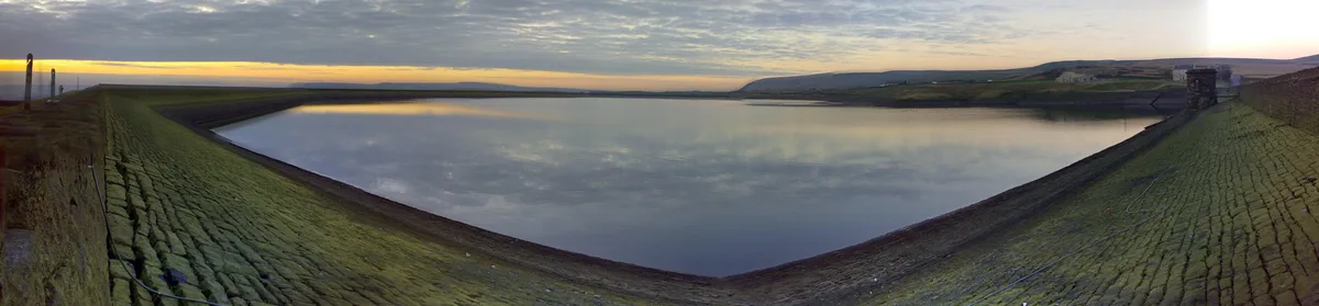 📷 3
📷 3Reservoirs & lochs · North West England
Ashworth Moor Reservoir
Ashworth Moor Reservoir — reservoir in Greater Manchester, England, UK.
Frequently asked questions
- Where is Ogden Reservoirs?
- Ogden Reservoirs is in Lancashire, North-West England, United Kingdom (postcode BB12 9JU), in the parish of Barley-with-Wheatley Booth.
- What is Ogden Reservoirs?
- Ogden Reservoirs — reservoirs in Lancashire, England, UK.
- How do I get to Ogden Reservoirs?
- The nearest railway station is Brierfield, about 4.6 km away. The nearest town is Barrowford. Drivers can use postcode BB12 9JU.
- When was Ogden Reservoirs built?
- Built or established in 1906.
- Who runs Ogden Reservoirs?
- Ogden Reservoirs is operated by Nelson Corporation Water Works.
- Is Ogden Reservoirs a protected site?
- Yes — Ogden Reservoirs is part of the Forest Of Bowland National Landscape (AONB).
- Is Ogden Reservoirs free to visit?
- Yes, Ogden Reservoirs is free to enter.
- How do I get to Ogden Reservoirs?
- The nearest railway station is Brierfield, about 4.6 km away. Drivers can navigate to postcode BB12 9JU.