
Viewpoints · South East England
St Martha's Hill
In or near Wonersh.
St Martha's Hill is a viewpoint in the United Kingdom.

Wikimedia Commons licence
Plan your visit
- Typical visit
- 20 min–45 min
- Best time of year
- Clear days year-round
- Nearest railway station
- Chilworth · 1.1 km
- Free entry
- Dog-friendly
Getting there & planning your visit
To visit St Martha's Hill, the nearest railway station is Chilworth, located 1.1 km away. The postcode for your sat-nav is GU5 9BQ. Entry to the viewpoint is free.
About
St Martha's Hill is a named viewpoint in the United Kingdom. Coordinates: 51.2248°, -0.5281°. This entry is part of The Great Britain Guide, a free, ad-free, open-data tourist directory.
Photo gallery
360° viewimagery from 2020
Imagery © Mapillary contributors, CC BY-SA 4.0
Protected designations
- Area of Outstanding Natural Beauty: Surrey Hills
Designations sourced from Natural England open data under OGL v3.
From the Wikipedia article
St Martha's Hill is a landmark in St Martha in Surrey, England between the town of Guildford and village of Chilworth. It is the 18th highest hill in the county and on the Greensand Ridge, in this case at the closest point to the North Downs, commencing to the immediate north at the Guildown-Merrow Down in the parishes of Guildford and Merrow. The top of the hill provides a semi-panorama of Newland's Corner also in the Surrey Hills AONB. Its church is the main amenity of the small parish extending to the south into the streets of Chilworth, with some medieval stone incorporations from a 12th-century predecessor (rebuilt 1848–1850 by Henry Woodyer) and is a wedding venue mainly to outside the sparsely populated parish. The knoll is crossed east-to-west by the Pilgrims' Way, which is otherwise on the North Downs.
Excerpt from Wikipedia under CC BY-SA 4.0. See the source article linked in Sources below.
Background
History
The site contains several Megalithic and Neolithic artefacts, dating from as far back as 3500 BCE. Below the church there are five circular earthworks, believed to date back to the Bronze Age. They were excavated in 1953 but one has since been obliterated by the construction of a reservoir. There is a traditional belief that the original name of this hill was Saints and Martyrs Hill, the martyr being St Thomas of Canterbury. Another theory said to be supported by some medieval charters contends that chapel was named after its location on "marterhill". According to a local tradition the hill has this name due to it being the location where some early Christian martyres were burned in Saxon…
Sourced from Wikipedia under CC BY-SA 4.0.
- Coordinates
- 51.2248, -0.5281
- County
- Surrey
- District
- Guildford
- Parish
- Albury
- Postcode
- GU5 9BQ
- Parliamentary constituency
- Godalming and Ash
- Nearest railway station
- Chilworth — 1.1 km
Sources
- osm: n565562196 (ODbL)
- wikipedia: St Martha's Hill (CC BY-SA 4.0)
Other places nearby
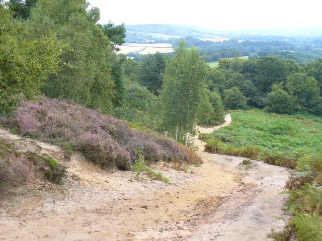
St Martha's Hill and Colyer's Hanger
Wildlife reserves · 0.1 km

St Martha's Hill
Mountains & hills · 0.1 km
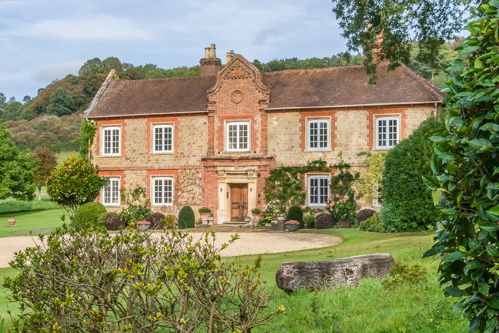
Chilworth Manor
Stately homes · 0.5 km

Chilworth Gunpowder Works
Historic houses · 0.8 km

Cordite Works
Historic houses · 0.9 km

Chilworth
Villages · 1.0 km

Chantry Wood Campsite
Campsites · 1.0 km

Percy arms
B&Bs · 1.0 km

Chilworth (St Martha) War Memorial
Memorials & monuments · 1.1 km

Cobra Kai
Mountain bike trails · 1.2 km

High Ball
Viewpoints · 1.5 km

Newlands Corner Bombholes
Mountain bike trails · 1.7 km
Nearby
📷 5Wildlife reserves · South East England
St Martha's Hill and Colyer's Hanger
St Martha's Hill and Colyer's Hanger — nature reserve in Surrey, England, UK.
📷 5Mountains & hills · South East England
St Martha's Hill
St Martha's Hill — mountain in england london.
📷 5Stately homes · South East England
Chilworth Manor
Chilworth Manor — manor house in Chilworth, Surrey, England, UK.
📷 5Historic houses · South East England
Chilworth Gunpowder Works
Chilworth Gunpowder Works — a historic house in england-london, United Kingdom.
📷 5Historic houses · South East England
Cordite Works
Cordite Works — a historic house in england-london, United Kingdom.
📷 5Where to eat & stay near St Martha's Hill
Places to stay
📷 5Campsites · South East England
Chantry Wood Campsite
Chantry Wood Campsite — a campsite in england london.
📷 7 📷 7
📷 7Hotels · South East England
Guildford Harbour Hotel
Guildford Harbour Hotel — a hotel in england london.
 📷 5
📷 5 📷 5
📷 5Caravan parks · South East England
Edgeley Holiday Park
Edgeley Holiday Park — a caravan park in england south east.
 📷 7
📷 7Hotels · South East England
Asperion Hotel
Asperion Hotel — a hotel in england london.
Places to eat & drink
 📷 7
📷 7Historic pubs · South East England
The Seahorse Public House
The Seahorse Public House in England South East, United Kingdom.
 📷 6
📷 6Historic pubs · South East England
The Royal Oak Public House
The Royal Oak Public House in England South East, United Kingdom.
 📷 7
📷 7 📷 7
📷 7Historic pubs · South East England
Horse And Groom Public House
Horse And Groom Public House in England South East, United Kingdom.
 📷 7
📷 7Historic pubs · South East England
The Angel Hotel
The Angel Hotel in England South East, United Kingdom.
 📷 7
📷 7Historic pubs · South East England
The Bulls Head Public House
The Bulls Head Public House in England South East, United Kingdom.
More viewpoints in this region
 📷 5
📷 5Viewpoints · South East England
Bird Watching
Bird Watching is a viewpoint in the United Kingdom.
 📷 5
📷 5Viewpoints · South East England
Blatchford Down
Blatchford Down is a viewpoint in the United Kingdom.
 📷 5
📷 5Viewpoints · South East England
Box Hill Viewpoint
Box Hill Viewpoint is a viewpoint in the United Kingdom.
 📷 5
📷 5Frequently asked questions
- Where is St Martha's Hill?
- St Martha's Hill is in Surrey, South-East England, United Kingdom (postcode GU5 9BQ), in the parish of Albury.
- What is St Martha's Hill?
- St Martha's Hill is a viewpoint in the United Kingdom.
- How do I get to St Martha's Hill?
- The nearest railway station is Chilworth, about 1.1 km away. The nearest town is Wonersh. Drivers can use postcode GU5 9BQ.
- Is St Martha's Hill a protected site?
- Yes — St Martha's Hill is part of the Surrey Hills National Landscape (AONB).
- Is St Martha's Hill free to visit?
- Yes, St Martha's Hill is free to enter.
- How do I get to St Martha's Hill?
- The nearest railway station is Chilworth, about 1.1 km away. Drivers can navigate to postcode GU5 9BQ.