
Mountain bike trails · South East England
Cobra Kai
In or near Wonersh.
Cobra Kai — a mtb trail in england london.

Alan Hunt — CC BY-SA 2.0 via Wikimedia Commons licence

Plan your visit
- Typical visit
- 1 h–2 h
- Nearest railway station
- Chilworth · 2.2 km
About
Cobra Kai is a mtb trail located in england london, mapped by OpenStreetMap contributors. Detailed amenities and visitor information may vary; check the OSM page for the latest tagged metadata.
Photo gallery
Protected designations
- Area of Outstanding Natural Beauty: Surrey Hills
Designations sourced from Natural England open data under OGL v3.
Place summary
Cobra Kai is a mountain bike trail located in London. This trail offers a challenging ride suitable for various skill levels, featuring a mix of terrain that includes technical sections and flowing paths. Riders can expect a well-maintained route designed for off-road cycling enthusiasts. The setting provides an urban escape for those looking to enjoy mountain biking without leaving the city.
AI-generated from the structured facts on this page (operator, designation, listing, era). Not a substitute for visiting.
- Coordinates
- 51.2350, -0.5229
- County
- Surrey
- District
- Guildford
- Parish
- Guildford, unparished area
- Postcode
- GU1 2HJ
- Parliamentary constituency
- Guildford
- Nearest railway station
- Chilworth — 2.2 km
Sources
- osm: r8482702 (ODbL)
Other places nearby

Yew Tree Project
Natural landmarks · 0.8 km

Newlands Corner Bombholes
Mountain bike trails · 1.0 km
Newlands Corner Bombholes 2
Mountain bike trails · 1.0 km
Newlands Corner Bombholes 3
Mountain bike trails · 1.0 km

Surrey Hills Boundary Sculpture
Public art & sculpture · 1.2 km
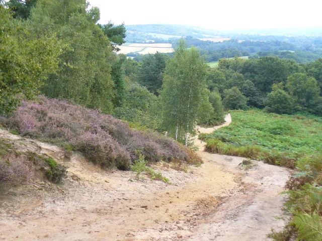
St Martha's Hill and Colyer's Hanger
Wildlife reserves · 1.2 km

St Martha's Hill
Viewpoints · 1.2 km

Merrow War Memorial
Memorials & monuments · 1.2 km

St Martha's Hill
Mountains & hills · 1.2 km

St Peter's Catholic School
Historic churches · 1.7 km
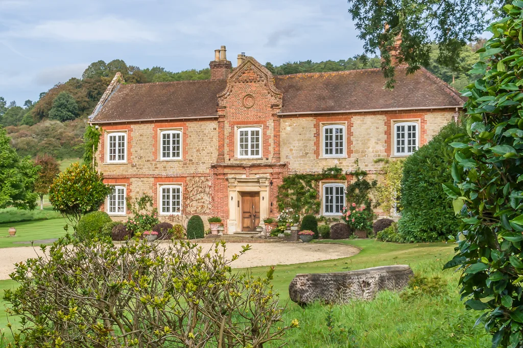
Chilworth Manor
Stately homes · 1.7 km

Cordite Works
Historic houses · 1.8 km
Nearby
📷 5Natural landmarks · South East England
Yew Tree Project
Yew Tree Project — a place in South East England, United Kingdom.
📷 5Mountain bike trails · South East England
Newlands Corner Bombholes
Newlands Corner Bombholes — a mtb trail in england london.
📷 5Mountain bike trails · South East England
Newlands Corner Bombholes 2
Newlands Corner Bombholes 2 — a mtb trail in england london.
📷 5Mountain bike trails · South East England
Newlands Corner Bombholes 3
Newlands Corner Bombholes 3 — a mtb trail in england london.
📷 5Public art & sculpture · South East England
Surrey Hills Boundary Sculpture
Surrey Hills Boundary Sculpture — a public art in South East England, United Kingdom.
📷 5Wildlife reserves · South East England
St Martha's Hill and Colyer's Hanger
St Martha's Hill and Colyer's Hanger — nature reserve in Surrey, England, UK.
Where to eat & stay near Cobra Kai
Places to stay
 📷 5
Campsites · South East England
Chantry Wood Campsite
Chantry Wood Campsite — a campsite in england london.
 📷 7
 📷 7
Hotels · South East England
Guildford Harbour Hotel
Guildford Harbour Hotel — a hotel in england london.
 📷 5
 📷 5
Hotels · South East England
Travelodge Guildford
Travelodge Guildford — a hotel in england london.
 📷 7
Hotels · South East England
Asperion Hotel
Asperion Hotel — a hotel in england london.
Places to eat & drink
 📷 7
Historic pubs · South East England
The Bulls Head Public House
The Bulls Head Public House in England South East, United Kingdom.
 📷 6
Historic pubs · South East England
The Royal Oak Public House
The Royal Oak Public House in England South East, United Kingdom.
 📷 7
Historic pubs · South East England
Horse And Groom Public House
Horse And Groom Public House in England South East, United Kingdom.
 📷 7
 📷 7
Historic pubs · South East England
The Angel Hotel
The Angel Hotel in England South East, United Kingdom.
 📷 7
Historic pubs · South East England
The Seahorse Public House
The Seahorse Public House in England South East, United Kingdom.
More places in this region
 📷 5
 📷 5
 📷 5
 📷 5
Frequently asked questions
- Where is Cobra Kai?
- Cobra Kai is in Surrey, South-East England, United Kingdom (postcode GU1 2HJ), in the parish of Guildford, unparished area.
- What is Cobra Kai?
- Cobra Kai — a mtb trail in england london.
- How do I get to Cobra Kai?
- The nearest railway station is Chilworth, about 2.2 km away. The nearest town is Wonersh. Drivers can use postcode GU1 2HJ.
- Is Cobra Kai a protected site?
- Yes — Cobra Kai is part of the Surrey Hills National Landscape (AONB).
- How do I get to Cobra Kai?
- The nearest railway station is Chilworth, about 2.2 km away. Drivers can navigate to postcode GU1 2HJ.