
Archaeological sites · South East England
St Leonard's Forest
In or near Colgate.
St Leonard's Forest — forest in West Sussex, England, UK.

Wikimedia Commons contributors — see linked file page for photographer and licence licence

Plan your visit
- Typical visit
- 45 min–1.5 h
- Nearest railway station
- Littlehaven · 3.4 km
- Free entry
- Dog-friendly
Getting there & planning your visit
St Leonard's Forest is located in Horsham, West Sussex, with the postcode RH13 6HX. The nearest railway station is Littlehaven, which is 3.4 km away. Entry to the site is free.
About
St Leonard's Forest is an archaeological site in the United Kingdom. Wikidata describes it as: "forest in West Sussex, England, UK". Coordinates: 51.0630°, -0.2680°.
Photo gallery
Protected designations
- Site of Special Scientific Interest: St. Leonard's Forest SSSI
- Area of Outstanding Natural Beauty: High Weald
Designations sourced from Natural England open data under OGL v3.
From the Wikipedia article
St Leonard's Forest is at the western end of the Wealden Forest Ridge which runs from Horsham to Tonbridge, and is part of the High Weald Area of Outstanding Natural Beauty. It lies on the ridge to the south of the A264 between Horsham and Crawley with the villages of Colgate and Lower Beeding within it. The A24 lies to west and A23 to the East and A272 through Cowfold to the south. Much has been cleared, but a large area is still wooded. Forestry England has 289 ha. (714 acres) which is open to the public (many regard this as The St. Leonard's Forest), as are Owlbeech (mainly heathland) and Leechpool Woods (claimed by Horsham District Council to be ancient woodland) to the east of Horsham, and Buchan Country Park to the SW of Crawley. The rest is private with just a few public footpaths and bridleways. Leonardslee Gardens were open to the public until July 2010 and re-opened in April 2019. An area of 85.4 hectares (211 acres) is St Leonards Forest Site of Special Scientific Interest. The main car parks are at Roosthole close to Mannings Heath Golf Club for the Forestry Commission, Owlbeech/Leechpool on Harwood Road (B2195), and Buchan Country Park on the A264. The High Weald Landscape Trail leads from Horsham Station east across the forest to Handcross. The Sussex Ouse Valley Way crosses the south of the forest from Lower Beeding to Handcross. It is one of the "Fower stately Wood Nymphs" (Michael Drayton, 1611, Poly-Olbion, Song 17) of the Forest Ridge (the other three being Worth, Ashdown and Waterdown forests) which were part of the ancient Andreaswald or Andreadswald, now the Weald. Earlier used for hunting, by the 16th century they were the centre of the English iron industry. The hammer ponds remain, the dams of those in St. Leonard's forest being crossed by Hammerpond Road between Horsham and Handcross, and today are used for fishing.
Excerpt from Wikipedia under CC BY-SA 4.0. See the source article linked in Sources below.
Background
History
The forest was part of the large wooded area now known as the Weald which extended from Hampshire east to the sea between Eastbourne and Dover, and bounded by the North and South Downs which are formed of chalk and hence have a very different vegetation. The Weald was mainly impenetrable, but vegetation must have been thinner on the poor sandy beds that top the forest ridge because Mesolithic people created a trackway along the top and have left tumuli and worked flints along its route. The forest was opened up to a limited extent by the South Saxons pushing north from the South Coast, and the Middle Saxons south from the North Downs. However, the boundary between the two was not along the…
Description
There is also a legend of St. Leonard the Dragon Slayer. Æthelweard's Chronicle of 770AD mentions "Monstrous serpents were seen in the country of the Southern Angles that is called Sussex". St. Leonard was injured and Lilies of the Valley grow where his blood fell - an area of the forest is still called The Lily Beds. As a reward he requested that snakes be banished and the nightingales which interrupted his prayers should be silenced. However, dragons were still around in August 1614 as a pamphlet was published with the title "Discourse relating a strange and monstrous Serpent (or Dragon) lately discovered, and yet living, to the great Annoyance and divers Slaughters both of Men and…
Sourced from Wikipedia under CC BY-SA 4.0.
- Coordinates
- 51.0630, -0.2680
- County
- West Sussex
- District
- Horsham
- Parish
- Colgate
- Postcode
- RH13 6HX
- Parliamentary constituency
- Horsham
- Nearest railway station
- Littlehaven — 3.4 km
Sources
- wikidata: Q7593997 (CC0)
- wikipedia: St Leonard's Forest (CC BY-SA 4.0)
- commons: Bluebells, St Leonards Forest - geograph.org.uk - 1288554.jpg (CC BY-SA 4.0)
Other places nearby

Minepits
Archaeological sites · 0.9 km

Hammer Pond Guest House
Historic houses · 1.8 km
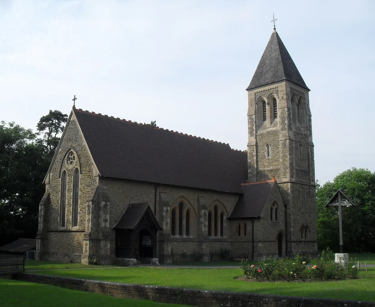
All Saints Church, Roffey
Historic churches · 2.4 km

Roffey
Villages · 2.5 km

Beacon Hill Scout Campsite
Campsites · 2.6 km
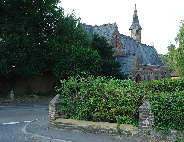
Colgate
Towns & cities · 2.6 km

Littlehaven Educational Trust
Natural landmarks · 3.1 km

Faygate Car Boot
Farmers’ markets · 3.2 km
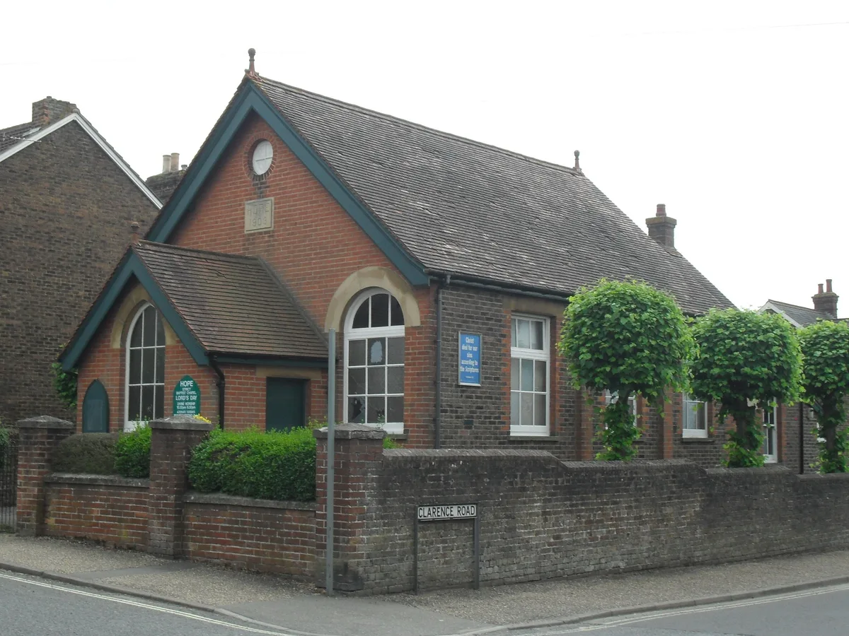
Hope Chapel, Horsham
Historic churches · 3.3 km

Lower Beeding War Memorial
Memorials & monuments · 3.4 km
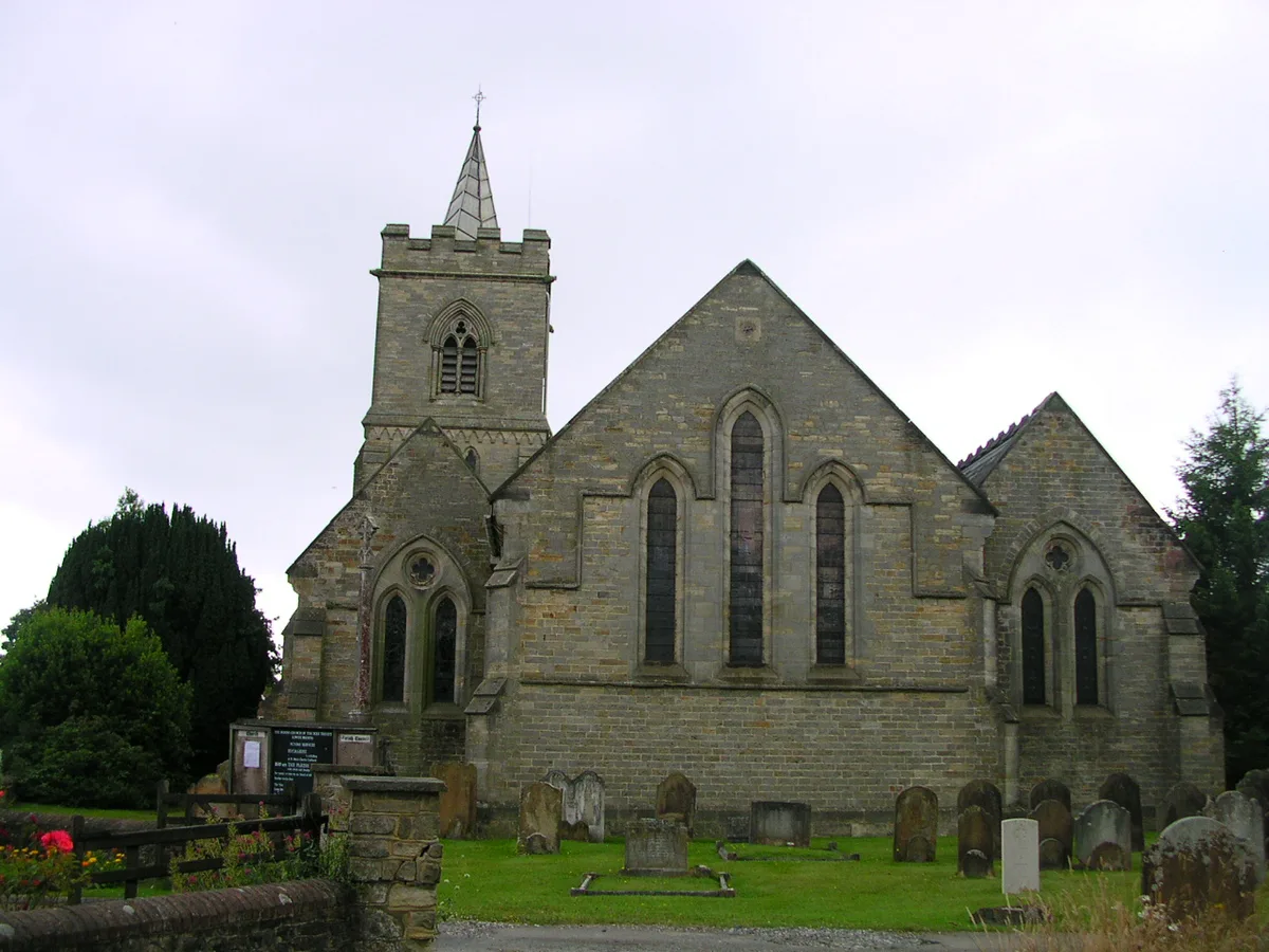
Lower Beeding
Towns & cities · 3.4 km
Newells Preparatory School
Natural landmarks · 3.5 km
Nearby
📷 5Archaeological sites · South East England
Minepits
Minepits — a archaeological in england-south-east, United Kingdom.
📷 5Historic houses · South East England
Hammer Pond Guest House
Hammer Pond Guest House — house in Lower Beeding, Horsham, West Sussex, England, UK.
📷 5Historic churches · South East England
All Saints Church, Roffey
All Saints Church, Roffey — church in Roffey, Horsham, West Sussex, England, UK.
📷 5📷 5Campsites · South East England
Beacon Hill Scout Campsite
Beacon Hill Scout Campsite — a campsite in england south east.
Flagship📷 10Towns & cities · South East England
Colgate
Colgate — village in West Sussex, England, UK.
Where to eat & stay near St Leonard's Forest
Places to stay
📷 5Campsites · South East England
Beacon Hill Scout Campsite
Beacon Hill Scout Campsite — a campsite in england south east.
 📷 5
📷 5Campsites · South East England
Stanford (Scout Campsite)
Stanford (Scout Campsite) — a campsite in england south east.
 📷 5
📷 5Caravan parks · South East England
Copperfield Farm Caravan Club Site
Copperfield Farm Caravan Club Site — a caravan park in england south east.
 📷 5
📷 5Caravan parks · South East England
Raylands Park
Raylands Park — a caravan park in england south east.
 📷 5
📷 5 📷 5
📷 5Caravan parks · South East England
Roundstone Caravan Park
Roundstone Caravan Park — a caravan park in england south east.
Places to eat & drink
 📷 5
📷 5Restaurants · South East England
Mekong House
Mekong House — a restaurant in england south east.
 📷 7
📷 7 📷 7
📷 7Restaurants · South East England
Chak de India
Chak de India — a restaurant in england south east.
 📷 7
📷 7Historic pubs · South East England
The Sussex Oak Inn
The Sussex Oak Inn in England South East, United Kingdom.
 📷 5
📷 5Historic pubs · South East England
The Jolly Tanners Public House
The Jolly Tanners Public House in England South East, United Kingdom.
 📷 5
📷 5Historic pubs · South East England
White Hart Inn
White Hart Inn in England South East, United Kingdom.
More archaeological sites in this region
 📷 5
📷 5Archaeological sites · South East England
Chatham Dockyard, site of South Mast Pond
Chatham Dockyard, site of South Mast Pond — archaeological site in Medway, Kent, England, UK.
 📷 5
📷 5Archaeological sites · South East England
Open areas within Roman, Saxon and medieval town
Open areas within Roman, Saxon and medieval town — archaeological site in Medway, Kent, England, UK.
 📷 5
📷 5Archaeological sites · South East England
Oxmoor Copse
Oxmoor Copse — woodland in Surrey, England.
 📷 5
📷 5Frequently asked questions
- Where is St Leonard's Forest?
- St Leonard's Forest is in West Sussex, South-East England, United Kingdom (postcode RH13 6HX), in the parish of Colgate.
- What is St Leonard's Forest?
- St Leonard's Forest — forest in West Sussex, England, UK.
- How do I get to St Leonard's Forest?
- The nearest railway station is Littlehaven, about 3.4 km away. Drivers can use postcode RH13 6HX.
- Who owns St Leonard's Forest?
- St Leonard's Forest is owned by Multiple - Forestry England, Horsham District Council, Private.
- Is St Leonard's Forest a protected site?
- Yes — St Leonard's Forest is part of the St. Leonard's Forest SSSI Site of Special Scientific Interest and the High Weald National Landscape (AONB).
- Is St Leonard's Forest free to visit?
- Yes, St Leonard's Forest is free to enter.
- How do I get to St Leonard's Forest?
- The nearest railway station is Littlehaven, about 3.4 km away. Drivers can navigate to postcode RH13 6HX.