
Historic churches · East Midlands
St John the Baptist church
In or near Hathersage.
St John the Baptist church — Grade II* listed church in Bamford, England.

Wikimedia Commons contributors — see linked file page for photographer and licence licence

Plan your visit
- Typical visit
- 30 min–1 h
- Nearest railway station
- Bamford · 0.9 km
- Free entry
Getting there & planning your visit
To visit St John the Baptist church in Derbyshire, the nearest railway station is Bamford, which is 0.9 km away. Entry to the church is free, and the postcode for sat-nav is S33 0AY.
About
St John the Baptist church is a historic church in the United Kingdom. Records date its origin to 1860. Designed by William Butterfield. Heritage designation: Grade II* listed building. Affiliated with Anglicanism. Wikidata describes it as: "Grade II* listed church in Bamford, England". Coordinates: 53.3469°, -1.6896°.
Photo gallery
See it from the streetimagery from 2021
Imagery © Mapillary contributors, CC BY-SA 4.0
Heritage listing
Details SK 28 SW PARISH OF BAMFORD MAIN ROAD 8/9 (East Side) 21.4.67 Church of St John the Baptist GV II* Church. 1856-60 by William Butterfield. Coursed squared gritstone with ashlar dressings and ashlar spire. Welsh slate roof with stone coped gables. Nave with north aisle, chancel, west narthex and north west steeple. Unbuttressed tower of two unequal stages. The ground stage has a west door with two chamfered orders which die into the imposts, and acts as a porch. Shallow, gableted, buttresses at the angles rising only about ten feet. Bell stage with 3-light cusped bell openings set in recessed panels. Recessed quatrefoil motifs at the angles. Pyramid spire rising directly from the edges of the tower. One tier of lucarnes. Lean-to narthex with lancet windows with Caernarvon arches. Rose window above with geometrical style tracery, set in a pointed arch and flanked by small rectangular openings. Windows on the south side of 2 and 3-lights with geometrical tracery of unusual design. The north side has groups of trefoiled lancets. The interior has a four bay north arcade with alternate circular and octagonal piers and bold single chamfered arches. Canted roof has tie beams, boarded in above and pierced by pairs of quatrefoils. Windbraces. Pulpit with stone base and wooden upper part. Wood and wrought iron communion rail. Low, simple pews. Tapering circular font with arcading. All the fittings by Butterfield. Stained glass in the east window of 1860 by Preedy. South western-most window and west rose window are probably also by Preedy. Other windows have non-pictorial glass Listing NGR: SK2076083376 Legacy The contents of this record have been generated from a legacy data system. Legacy System number: 82470 Legacy System: LBS
From the Historic England List Entry under OGL v3.
Protected designations
- Site of Special Scientific Interest: Dark Peak SSSI
- Site of Special Scientific Interest: Eastern Peak District Moors SSSI
Designations sourced from Natural England open data under OGL v3.
From the Wikipedia article
St John the Baptist church is a C of E church in Bamford in the Hope Valley, Derbyshire, England.
Excerpt from Wikipedia under CC BY-SA 4.0. See the source article linked in Sources below.
Background
History
The building that is seen today is largely a William Butterfield restoration dating from 1860, with a bell tower. The new church was consecrated on 17 October 1860 by the Bishop of Lichfield.
Description
A peal of six bells was provided at the rebuilding in 1860 by Naylor, Vickers and Co of Sheffield. The tower currently has six ringable bells, cast in 1998 by John Taylor & Co to mark the Millennium. The modern bells have sprung metal stays instead of wooden ones. The Treble weighs 1 hundredweight 3 quarters and 12lb (94.4 kg). The tenor weighs 1 hundredweight and 26lb (215.2 kg). The bellringers practice on Wednesdays.
Sourced from Wikipedia under CC BY-SA 4.0.
- Coordinates
- 53.3469, -1.6896
- County
- Derbyshire
- District
- High Peak
- Parish
- Bamford
- Postcode
- S33 0AY
- Parliamentary constituency
- High Peak
- Established
- 1860
- Nearest railway station
- Bamford — 0.9 km
Sources
- wikidata: Q4853483 (CC0)
- wikipedia: St John the Baptist's Church, Bamford (CC BY-SA 4.0)
- commons: Bamford church.jpg (CC BY-SA 4.0)
Other places nearby

Bamford
Museums · 0.2 km

Cheesehouse
Hostels · 0.3 km
Homestead
Hostels · 0.3 km

Swallowholme Camping and Caravaning Park
Campsites · 0.7 km

Peak Park Conservation Centre
Campsites · 0.8 km

River Noe
Museums · 0.9 km

Bamford Edge
Climbing & bouldering crags · 1.2 km
Bamford Edge
Climbing & bouldering crags · 1.3 km

Osprey
Public art & sculpture · 1.3 km

Bamford Edge
Natural landmarks · 1.3 km
Bamford Moor
Mountains & hills · 1.4 km
Bamford Moor
Mountains & hills · 1.4 km
Nearby
📷 5Museums · East Midlands
Bamford
Bamford is a village in the Peak District, Derbyshire, England, close to the River Derwent. To the north-east is Bamford Edge, and to the north-west the Ladybower, Derwent and Howden Reservoirs. At th
📷 5Hostels · East Midlands
Cheesehouse
Cheesehouse — a hostel in england east midlands.
📷 5Hostels · East Midlands
Homestead
Homestead — a hostel in england east midlands.
📷 5Campsites · East Midlands
Swallowholme Camping and Caravaning Park
Swallowholme Camping and Caravaning Park — a campsite in england east midlands.
📷 5Campsites · East Midlands
Peak Park Conservation Centre
Peak Park Conservation Centre — a campsite in england east midlands.
📷 5Museums · East Midlands
River Noe
River Noe — a museum in england-east-midlands, United Kingdom.
Where to eat & stay near St John the Baptist church
Places to stay
📷 5Hostels · East Midlands
Cheesehouse
Cheesehouse — a hostel in england east midlands.
📷 5Hostels · East Midlands
Homestead
Homestead — a hostel in england east midlands.
📷 5Campsites · East Midlands
Swallowholme Camping and Caravaning Park
Swallowholme Camping and Caravaning Park — a campsite in england east midlands.
📷 5Campsites · East Midlands
Peak Park Conservation Centre
Peak Park Conservation Centre — a campsite in england east midlands.
 📷 5
📷 5 📷 5
📷 5Places to eat & drink
 📷 7
📷 7Historic pubs · Yorkshire & the Humber
The Fox House
The Fox House in England Yorkshire, United Kingdom.
 📷 7
📷 7Historic pubs · East Midlands
The Three Stags' Heads
The Three Stags' Heads in England South East, United Kingdom.
 📷 5
📷 5Historic pubs · East Midlands
The Chequers Inn and attached outbuildings
The Chequers Inn and attached outbuildings in England East Midlands, United Kingdom.
 📷 5
📷 5Historic pubs · Yorkshire & the Humber
Norfolk Arms Public House
Norfolk Arms Public House in England Yorkshire, United Kingdom.
 📷 5
📷 5Historic pubs · East Midlands
The Old Nags Head
The Old Nags Head in England Yorkshire, United Kingdom.
 📷 5
📷 5Historic pubs · East Midlands
The Eyre Arms Public House
The Eyre Arms Public House in England East Midlands, United Kingdom.
Other works by William Butterfield
 📷 5
📷 5Historic churches · London
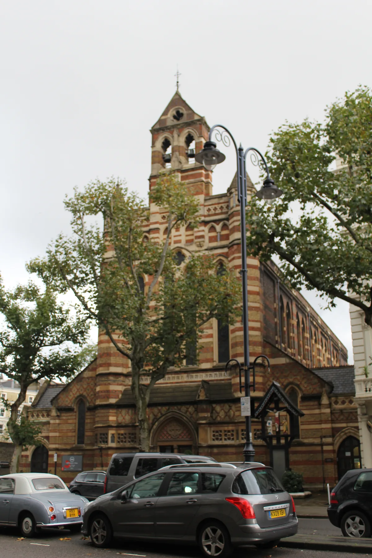
St Augustine's
St Augustine's — church in Queen's Gate, London.
 📷 5
📷 5Historic churches · London
St Mary's Church, Edmonton
St Mary's Church, Edmonton — church in United Kingdom.
 Flagship📷 5
Historic churches · London
All Saints, Margaret Street
All Saints, Margaret Street — a Grade I-listed church in england-london, United Kingdom.
 📷 4
📷 4Historic churches · South West England
St George's Church, Morebath
St George's Church, Morebath — Grade II* listed building-listed church in england-south-west, United Kingdom.
Other places from this era
 📷 5
📷 5Historic churches · London
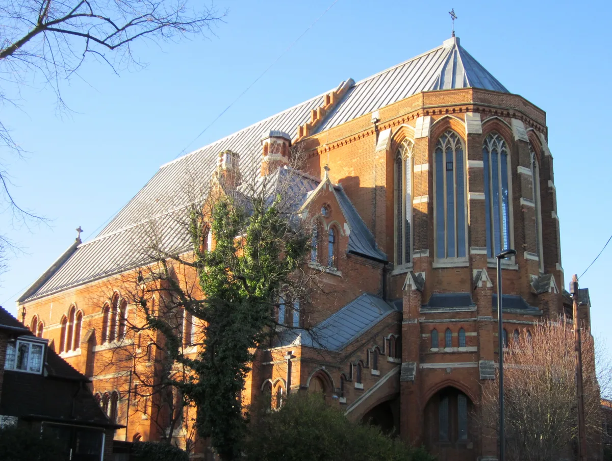
All Saints Church, West Dulwich
All Saints Church, West Dulwich — church in West Dulwich, London.
 📷 5
📷 5Historic churches · London
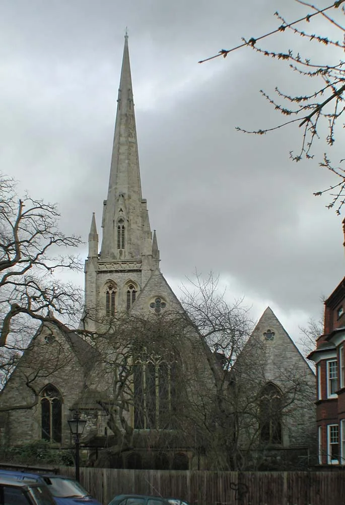
Christ Church
Christ Church — church in Hampstead, London.
 📷 5
📷 5Historic churches · London
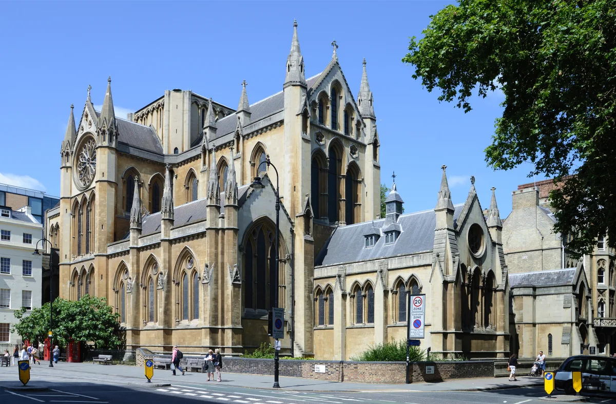
Church of Christ the King, Bloomsbury
Church of Christ the King, Bloomsbury — church in Gordon Square, Bloomsbury, London.
 📷 5
📷 5Historic churches · London
Church of St Barnabas
Church of St Barnabas — church in Pimlico, London.
More places in this region
 📷 5
📷 5Historic churches · East Midlands
All Saints' Church, Stamford
All Saints' Church, Stamford — church in Stamford, Lincolnshire, England, UK.
 📷 5
📷 5Historic churches · East Midlands
Church of All Saints
Church of All Saints — church in Little Casterton, Rutland, United Kingdom.
 📷 5
📷 5Historic churches · East Midlands
Church of All Saints
Church of All Saints — church in Fenland, UK.
 📷 5
📷 5Historic churches · East Midlands
Church of St Leonard
Church of St Leonard — church in Fenland, UK.
Frequently asked questions
- Where is St John the Baptist church?
- St John the Baptist church is in Derbyshire, the East Midlands, United Kingdom (postcode S33 0AY), in the parish of Bamford.
- What is St John the Baptist church?
- St John the Baptist church — Grade II* listed church in Bamford, England.
- How do I get to St John the Baptist church?
- The nearest railway station is Bamford, about 0.9 km away. Drivers can use postcode S33 0AY.
- When was St John the Baptist church built?
- Built or established in 1860. Designed by William Butterfield.
- Is St John the Baptist church a listed building?
- St John the Baptist church is officially recognised as Grade II* listed building listed.
- Is St John the Baptist church a protected site?
- Yes — St John the Baptist church is part of the Dark Peak SSSI Site of Special Scientific Interest and the Eastern Peak District Moors SSSI Site of Special Scientific Interest.
- Is St John the Baptist church free to visit?
- Yes, St John the Baptist church is free to enter.
- How do I get to St John the Baptist church?
- The nearest railway station is Bamford, about 0.9 km away. Drivers can navigate to postcode S33 0AY.