
Historic churches · West Midlands
St Eata's Church, Atcham
In or near Wroxeter.
St Eata's Church, Atcham — church in Atcham, Shropshire, England, UK.

Wikimedia Commons contributors — see linked file page for photographer and licence licence

Plan your visit
- Typical visit
- 30 min–1 h
- Nearest railway station
- Shrewsbury · 5.9 km
- Free entry
Getting there & planning your visit
St Eata's Church is located in Atcham, Shropshire, with the postcode SY5 6QG. The nearest railway station is Shrewsbury, which is 5.9 km away. Entry to the church is free.
About
St Eata's Church, Atcham is a historic church in the United Kingdom. Records date its origin to 1150. Built in the Norman architecture style. Heritage designation: Grade I listed building. Affiliated with Anglicanism. Wikidata describes it as: "church in Atcham, Shropshire, England, UK". Coordinates: 52.6785°, -2.6804°.
Photo gallery
Heritage listing
St Eata's Church is in the village of Atcham, Shropshire, England. It is an active Anglican parish church in the deanery of Shrewsbury, the archdeaconry of Salop, and the diocese of Lichfield. Its benefice is united with that of St Giles-with-Sutton, Shrewsbury. The church is recorded in the National Heritage List for England as a designated Grade I listed building. Its dedication to Eata of Hexham is unique.
From the Historic England List Entry under OGL v3.
Protected designations
- Area of Outstanding Natural Beauty: Shropshire Hills
Designations sourced from Natural England open data under OGL v3.
From the Wikipedia article
St Eata's Church is in the village of Atcham, Shropshire, England. It is an active Anglican parish church in the deanery of Shrewsbury, the archdeaconry of Salop, and the diocese of Lichfield. Its benefice is united with that of St Giles-with-Sutton, Shrewsbury. The church is recorded in the National Heritage List for England as a designated Grade I listed building. Its dedication to Eata of Hexham is unique.
Excerpt from Wikipedia under CC BY-SA 4.0. See the source article linked in Sources below.
Background
History
The first church to St Eata is said to have been built in the eighth century but there is no longer any trace of this. A church was present on the site by 1075, the chronicler Orderic Vitalis being baptised there on the Easter Day of that year. The oldest part of the present church is in the nave and dates from the late Saxon or the early Norman era. The tower is probably from the 12th century, and the chancel from the late 13th century. The south porch is dated 1665. The church was restored in the late 19th century.
Architecture
In the south wall of the chancel is a tomb recess. Near the organ are two brass parish war memorial plaques, one listing nine men who died serving in World War I, the other two men who died in World War II. There is a ring of six bells, four of which were cast in 1709 by Abraham Rudhall I at Gloucester, and two in 1829 by Thomas Mears II at the Whitechapel Bell Foundry. A bellringing gallery, with mezzanine floor accessed by spiral stairway, was installed in 2014; it replaces the previous gallery that was badly damaged in a fire caused by a lightning strike in 1879 (which injured several children) and taken down in 1896.
Sourced from Wikipedia under CC BY-SA 4.0.
- Coordinates
- 52.6785, -2.6804
- District
- Shropshire
- Parish
- Atcham
- Postcode
- SY5 6QG
- Parliamentary constituency
- South Shropshire
- Established
- 1150
- Nearest railway station
- Shrewsbury — 5.9 km
- Official site
- www.steatasatcham.co.uk
Sources
- wikidata: Q7592987 (CC0)
- wikipedia: St Eata's Church, Atcham (CC BY-SA 4.0)
- commons: St. Eata's Church - geograph.org.uk - 1270064.jpg (CC BY-SA 4.0)
Other places nearby

Atcham Bridge
Historic bridges · 0.1 km

Atcham
Museums · 0.1 km

Home Farm Attingham Open Farm
Farms (open to visitors) · 1.1 km

Tern Bridge
Historic bridges · 1.2 km
River Tern
Museums · 1.2 km

Estate Bridge Approximately 120 Metres To South East Of Attingham Park
Historic bridges · 1.3 km

Attingham Park
Parks · 1.6 km

The Berwick Memorial
Memorials & monuments · 1.9 km

Shropshire Union Canal, Shrewsbury Branch Canal Bridge Approximately 20 Metres To West Of Numbers 1 And 2, Canal Cottages
Historic bridges · 2.0 km

Love2Stay
Caravan parks · 2.1 km

Longner Hall
Historic houses · 2.2 km

Roman temple at insula I, Wroxeter
Follies · 2.4 km
Nearby
📷 3Historic bridges · West Midlands
Atcham Bridge
Atcham Bridge — scheduled monument-listed bridge in wales-mid, United Kingdom.
📷 5Museums · West Midlands
Atcham
Atcham is a village, ecclesiastical parish and civil parish in Shropshire, England. It lies on the B4380 (once the A5), 5 miles south-east of Shrewsbury. The River Severn flows round the village. To t
📷 3Farms (open to visitors) · West Midlands
Home Farm Attingham Open Farm
Home Farm Attingham Open Farm — a place in West Midlands, United Kingdom.
📷 3Historic bridges · West Midlands
Tern Bridge
Tern Bridge — scheduled monument-listed bridge in wales-mid, United Kingdom.
📷 5📷 3Historic bridges · West Midlands
Estate Bridge Approximately 120 Metres To South East Of Attingham Park
Estate Bridge Approximately 120 Metres To South East Of Attingham Park — Grade II* listed building-listed bridge in wales-mid, United Kingdom.
Where to eat & stay near St Eata's Church, Atcham
Places to stay
📷 5 📷 5
📷 5Hotels · West Midlands
Abbots Mead Hotel
Abbots Mead Hotel — a hotel in wales north.
 📷 6
📷 6Hotels · West Midlands
Lion & Pheasant
Lion & Pheasant — a hotel in wales north.
 📷 5
📷 5 📷 7
📷 7 📷 7
📷 7Places to eat & drink
 📷 5
📷 5Historic pubs · West Midlands
The Dun And Cow Public House
The Dun And Cow Public House in Wales North, United Kingdom.
 📷 7
📷 7Restaurants · West Midlands
The Golden Cross
The Golden Cross — a restaurant in wales north.
 📷 7
📷 7Historic pubs · West Midlands
Yorkshire House Public House
Yorkshire House Public House in Wales North, United Kingdom.
 📷 7
📷 7 📷 7
📷 7Historic pubs · West Midlands
The Castle Vaults Public House
The Castle Vaults Public House in Wales North, United Kingdom.
 📷 7
📷 7Historic pubs · West Midlands
The Hole In The Wall Public House
The Hole In The Wall Public House in Wales North, United Kingdom.
Other places from this era
 📷 5
📷 5Historic churches · London
All Hallows Staining
All Hallows Staining — church in City of London, UK.
 📷 5
📷 5Historic churches · London
All Hallows' Church, Tottenham
All Hallows' Church, Tottenham — church in Tottenham, London.
 📷 5
📷 5Historic churches · London
All Saints Church, Kingston upon Thames
All Saints Church, Kingston upon Thames — church in Kingston upon Thames, London.
 📷 5
📷 5Historic churches · London
All Saints' Church, Edmonton
All Saints' Church, Edmonton — church in Edmonton, London.
More places in this region
 📷 3
📷 3Historic churches · West Midlands
Church of All Saints
Church of All Saints — Grade I listed church in King's Bromley, Staffordshire, England, UK.
 📷 3
📷 3Historic churches · West Midlands
Church of St Leonard, Blithfield
Church of St Leonard, Blithfield — Grade I listed church, Blithfield, United Kingdom.
 📷 3
📷 3Historic churches · West Midlands
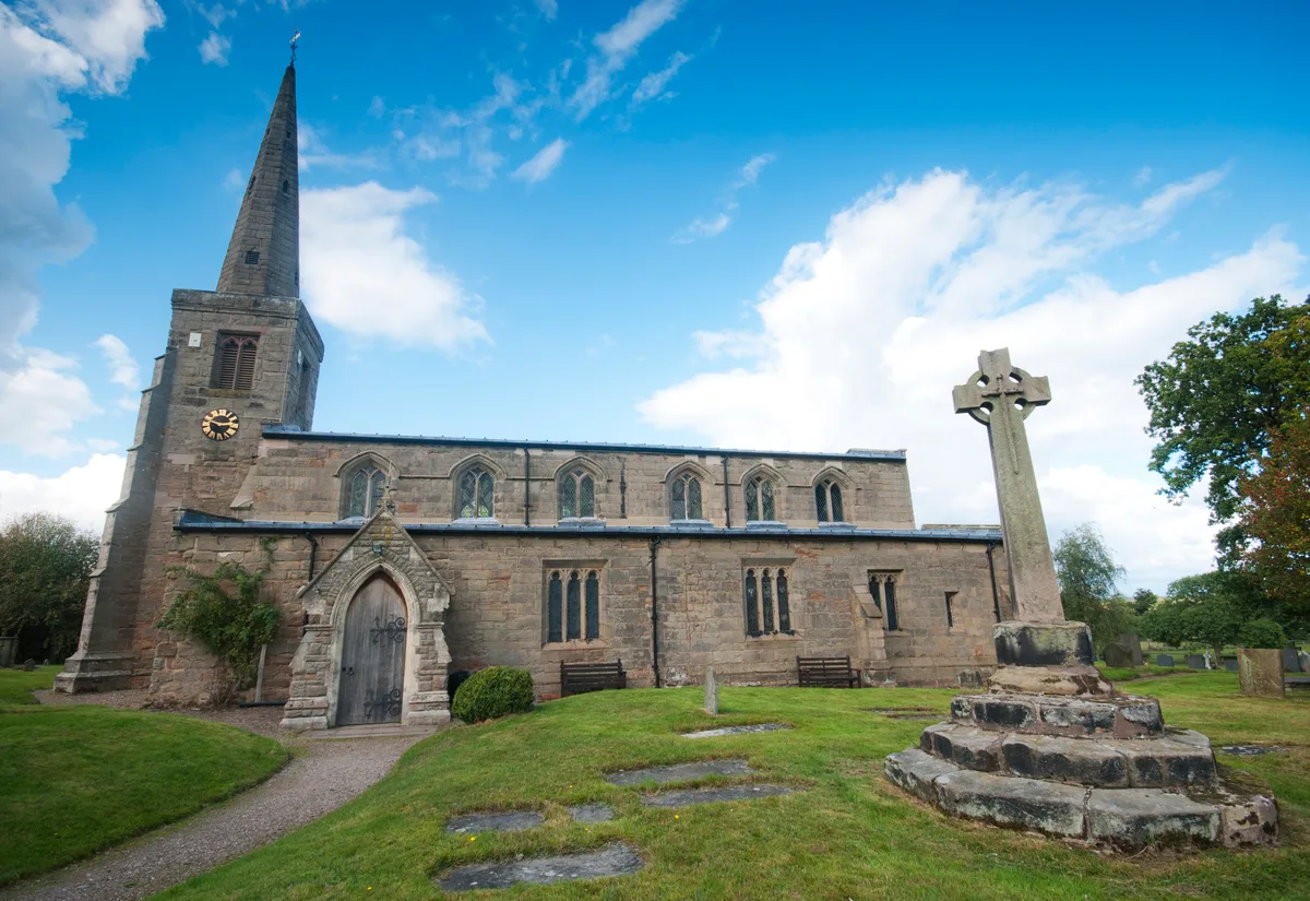
Church of St Michael and All Angels, Hamstall Ridware
Church of St Michael and All Angels, Hamstall Ridware — church in Hamstall Ridware, Staffordshire, England, UK.
 📷 5
📷 5Historic churches · West Midlands
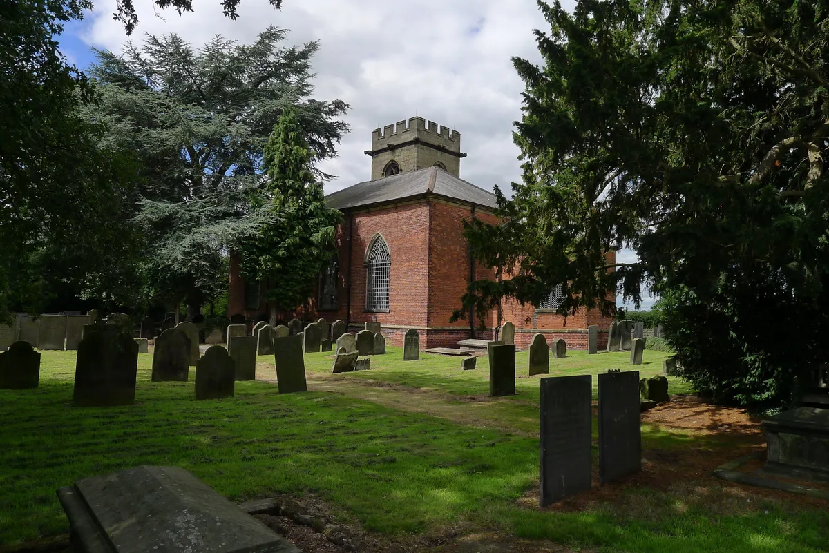
Church of St Nicholas, Mavesyn Ridware
Church of St Nicholas, Mavesyn Ridware — church in Mavesyn Ridware, Staffordshire, England, UK.
Frequently asked questions
- Where is St Eata's Church, Atcham?
- St Eata's Church, Atcham is in the West Midlands, United Kingdom (postcode SY5 6QG), in the parish of Atcham.
- What is St Eata's Church, Atcham?
- St Eata's Church, Atcham — church in Atcham, Shropshire, England, UK.
- How do I get to St Eata's Church, Atcham?
- The nearest railway station is Shrewsbury, about 5.9 km away. The nearest town is Wroxeter. Drivers can use postcode SY5 6QG.
- When was St Eata's Church, Atcham built?
- Built or established in 1150.
- Is St Eata's Church, Atcham a listed building?
- St Eata's Church, Atcham is officially recognised as Grade I listed building listed.
- Is St Eata's Church, Atcham a protected site?
- Yes — St Eata's Church, Atcham is part of the Shropshire Hills National Landscape (AONB).
- Is St Eata's Church, Atcham free to visit?
- Yes, St Eata's Church, Atcham is free to enter.
- How do I get to St Eata's Church, Atcham?
- The nearest railway station is Shrewsbury, about 5.9 km away. Drivers can navigate to postcode SY5 6QG.